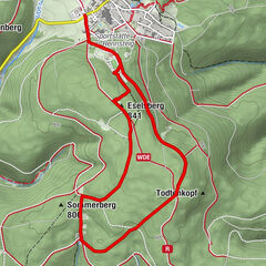
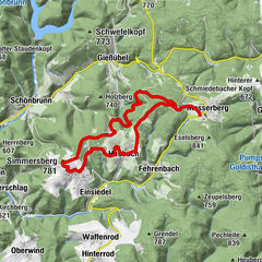
Circular hiking trail - Lichtenhain nature trail - Hiking start Lichtenhain


© Thüringer Wald - Elisabeth Otto


© Thüringer Wald - Elisabeth Otto

© Thüringer Wald - Elisabeth Otto

© Thüringer Wald - Elisabeth Otto

© Thüringer Wald - Elisabeth Otto

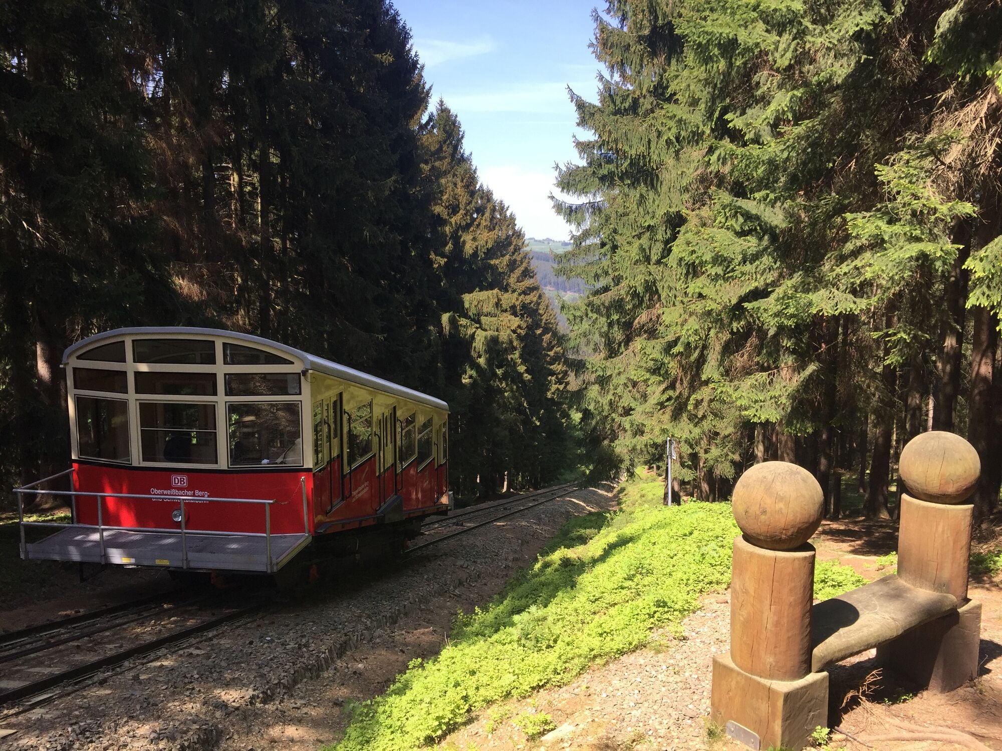
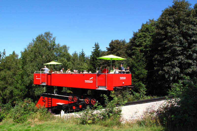
© www.oberweissbacher-bergbahn.com

- Kratak opis
-
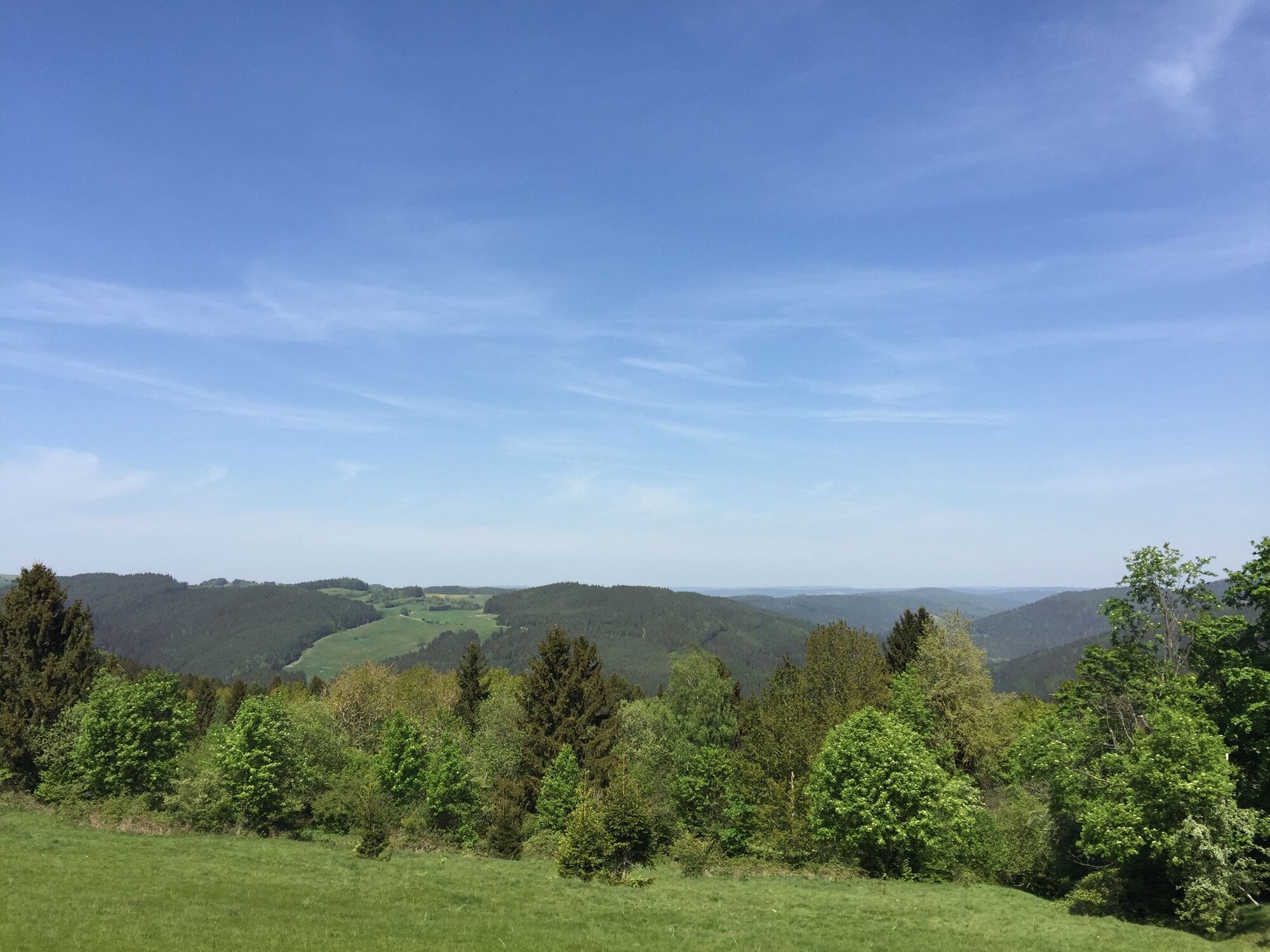
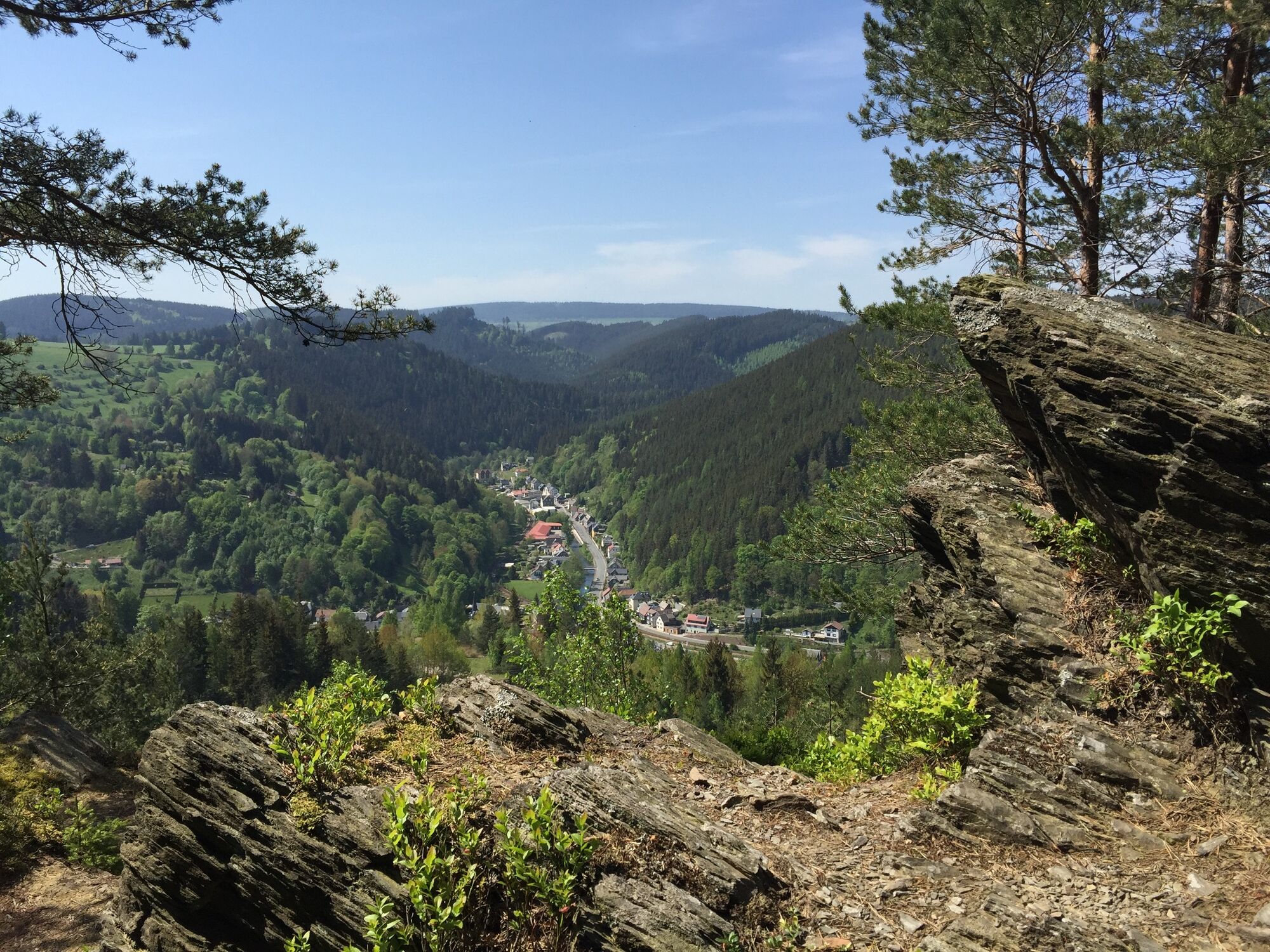
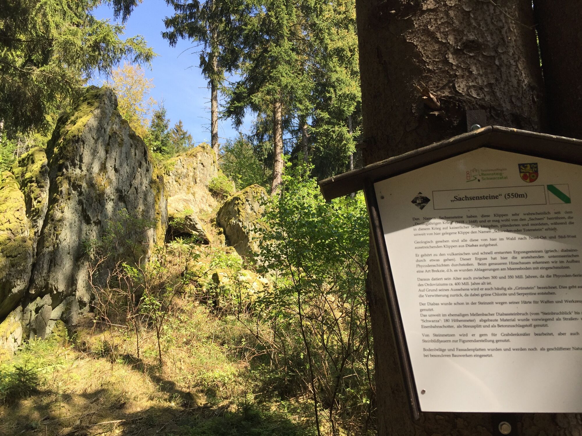
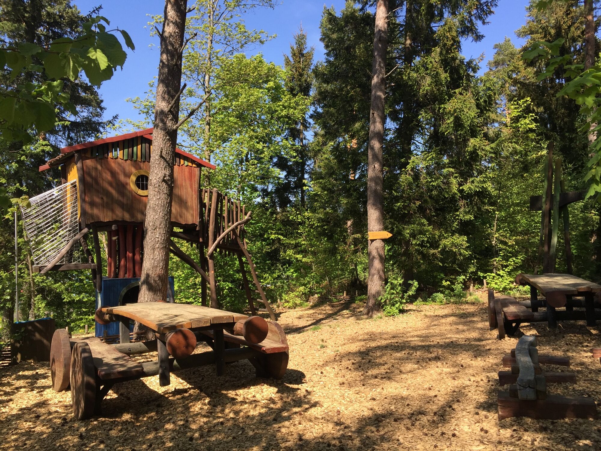
On this circular hiking trail you can enjoy the nature and landscape around Lichtenhain and the steep section of the Oberweißbacher Bergbahn at any time of year.
- Teškoća
-
srednje
- Vrednovanje
-
- Wegverlauf
-
Lichtenhain an der Bergbahn (662 m)0,0 kmHinter der I. Unterführung0,6 kmLichtenhainer Höhe (606 m)5,0 kmSchau ins Land6,2 kmHopfberg (648 m)6,4 kmLichtenhain (645 m)6,6 kmAuf dem Hügel7,2 kmFalkenhügel (697 m)7,6 km
- Beste Jahreszeit
-
sijveljožutrasvilipsrpkolrujlisstupro
- Höchster Punkt
- 689 m
- Zielpunkt
-
Hiking start Lichtenhain (at the mountain station of the mountain railway)
- Höhenprofil
-
 © outdooractive.com
- Autor
-
Die Tour Circular hiking trail - Lichtenhain nature trail - Hiking start Lichtenhain wird von outdooractive.com bereitgestellt.
GPS Downloads


Opće informacije
Einkehrmöglichkeit
Kulturell/Historisch
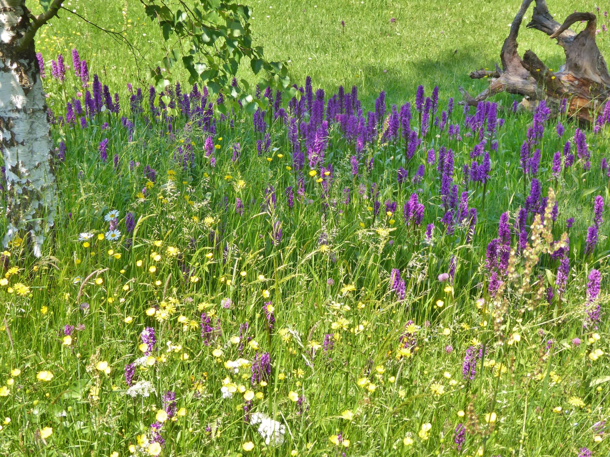
Flora
Aussichtsreich
Weitere Touren in den Regionen
-
Thüringer Wald
997
-
Coburg Rennsteig / Thüringen
500
-
Oberweissbach
124