© Tannheimer Tal - Tourismusverband Tannheimer Tal

© Outdooractive Premium - Hartmut Wimmer

© Outdooractive Premium - Hartmut Wimmer

© Outdooractive Premium - Hartmut Wimmer

© Outdooractive Premium - Hartmut Wimmer

© Outdooractive Premium - Hartmut Wimmer

© Outdooractive Premium - Hartmut Wimmer

© Outdooractive Premium - Hartmut Wimmer

© Outdooractive Premium - Hartmut Wimmer

© Outdooractive Premium - Hartmut Wimmer
- Kratak opis
-
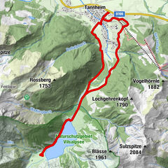
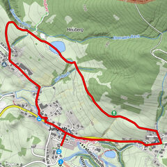
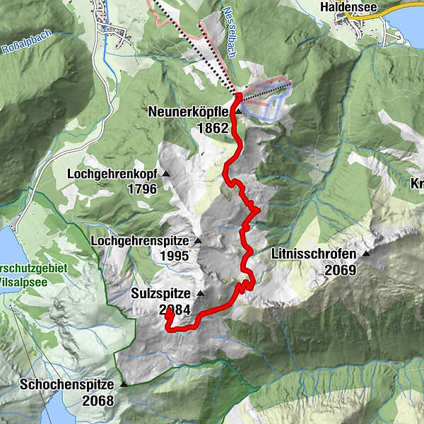
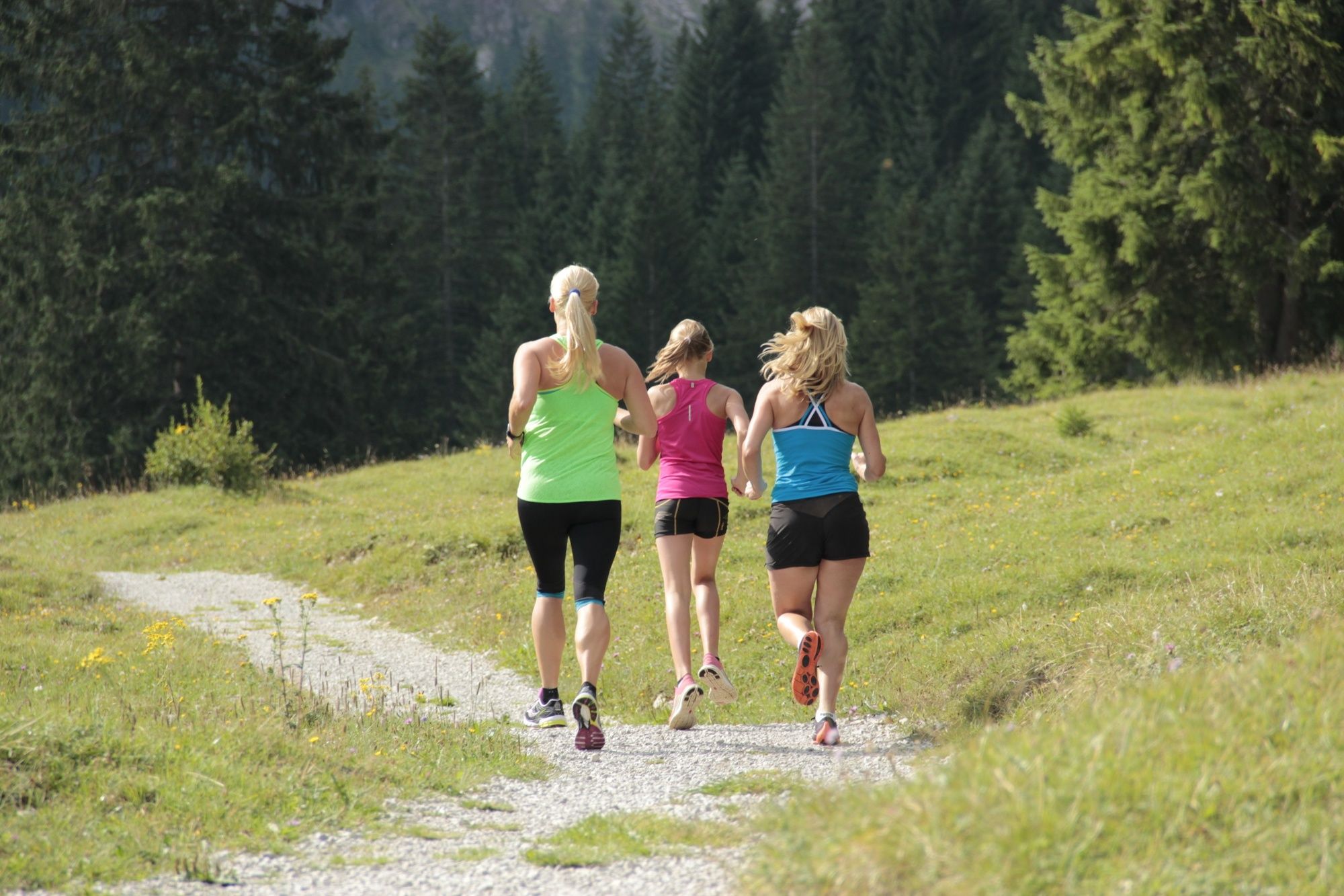
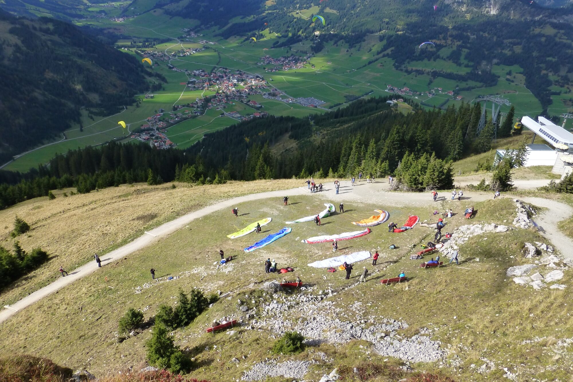
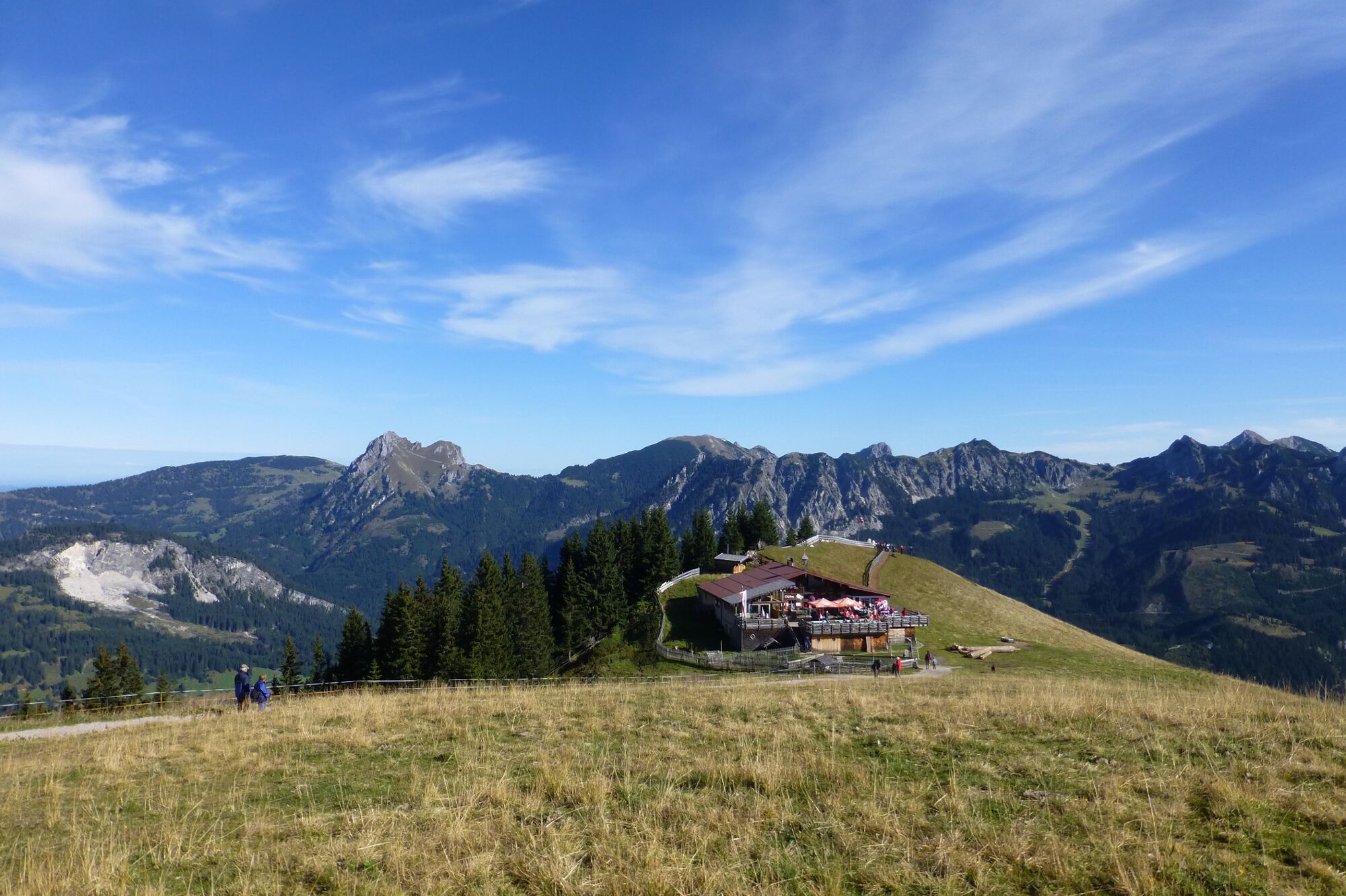
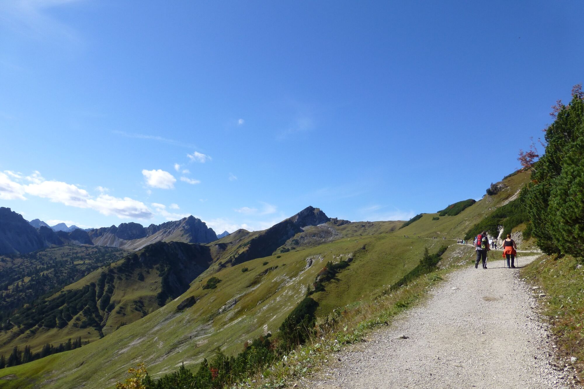
The entire course of the Toruve offers again and again impressive views (e.g. Tannheimer Tal, Zugspitze, Lechtaler Alpen, ...)
- Teškoća
-
teška
- Vrednovanje
-
- Wegverlauf
-
Strindenalpe1,9 kmGappenfeldalpe5,2 kmStrindenalpe8,6 km
- Beste Jahreszeit
-
sijveljožutrasvilipsrpkolrujlisstupro
- Höchster Punkt
- 1.890 m
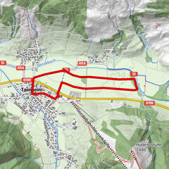
- Zielpunkt
-
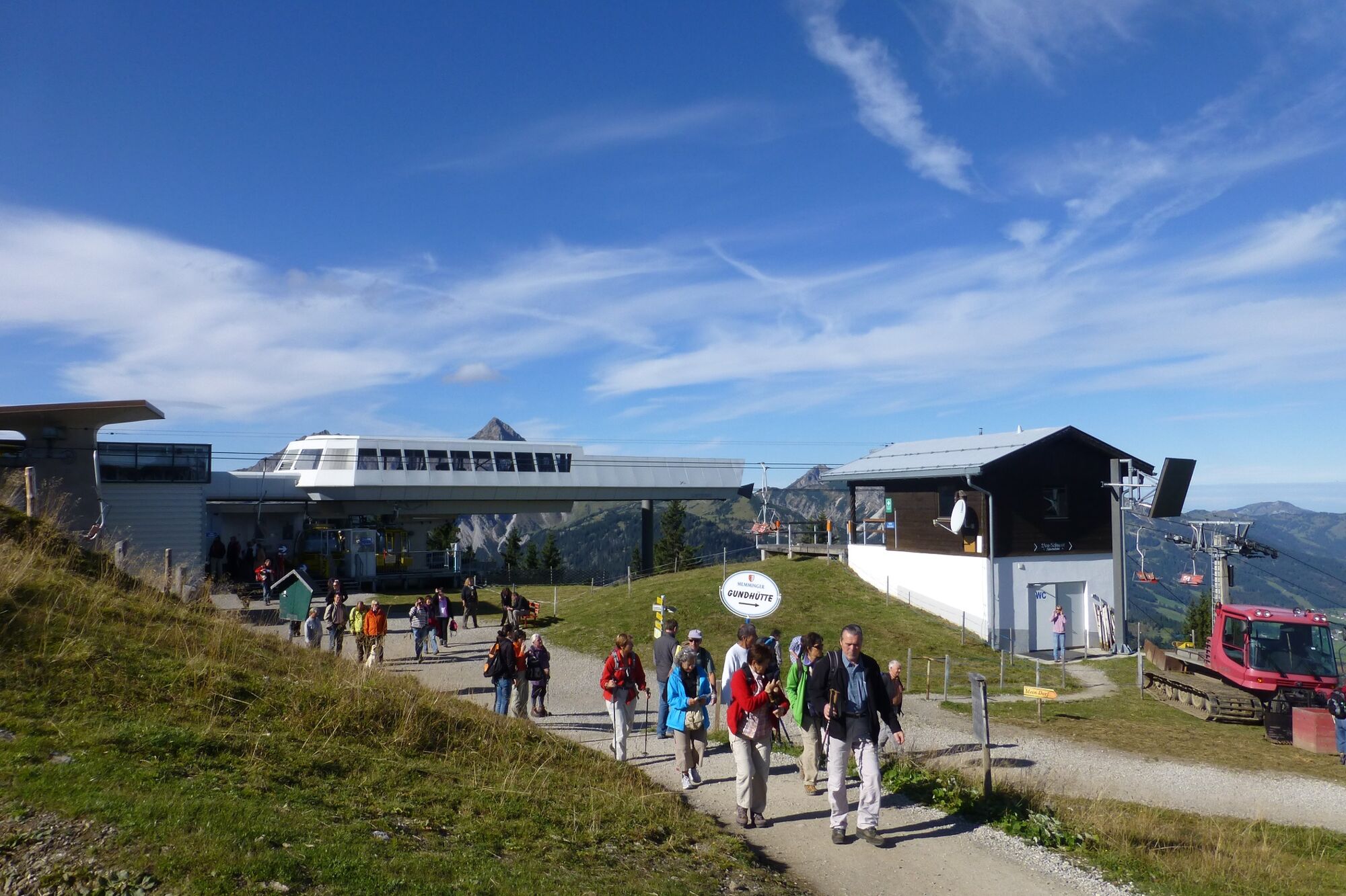
Top station Neunerköpfle in Tannheim
- Höhenprofil
-


- Autor
-
Die Tour altitude route wird von outdooractive.com bereitgestellt.
GPS Downloads


Opće informacije
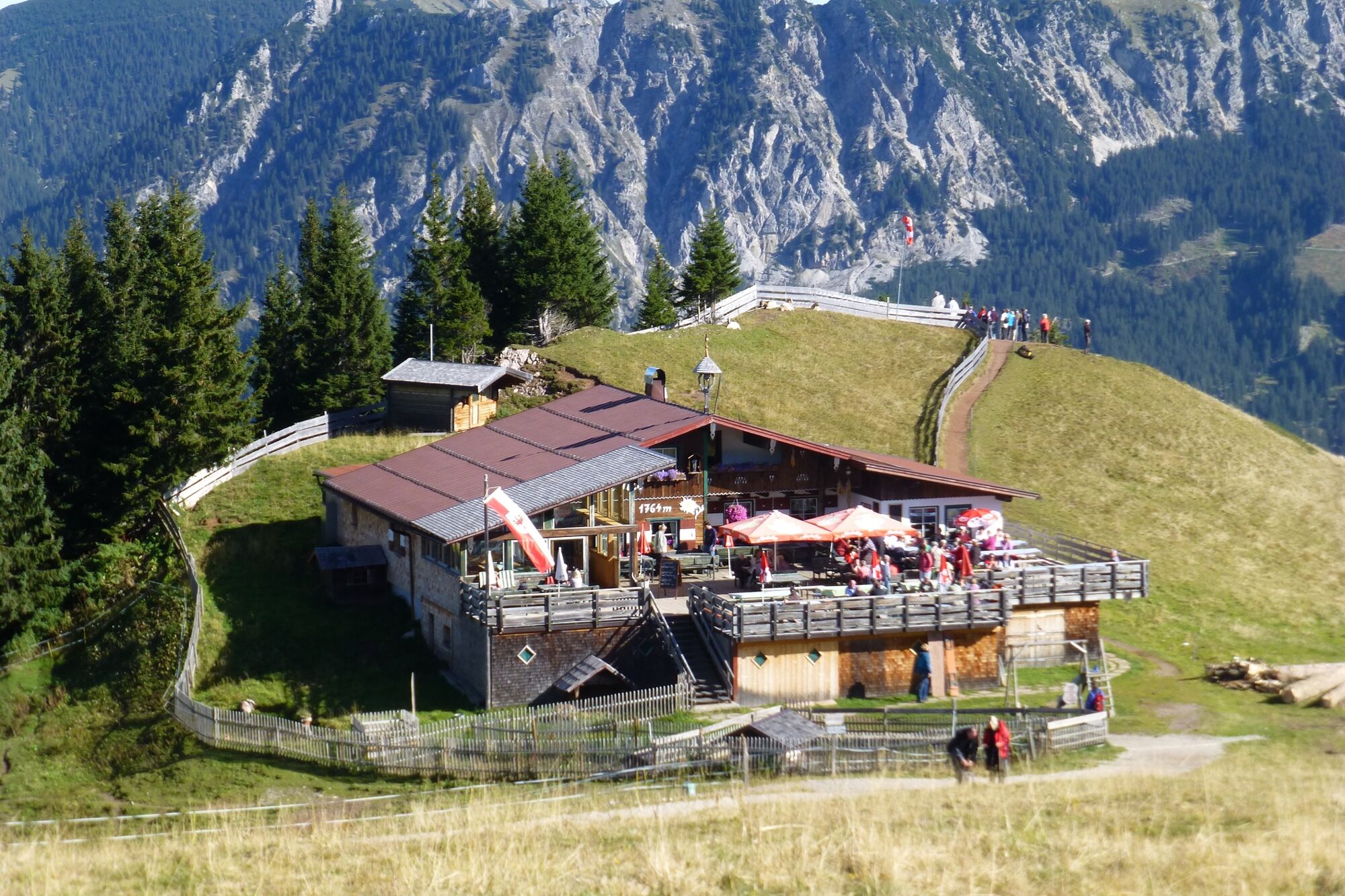
Einkehrmöglichkeit
Flora
Fauna
Aussichtsreich
Weitere Touren in den Regionen