© Outdooractive Redaktion - Hartmut Wimmer
© Tannheimer Tal - Michael Keller
© Outdooractive Premium - Hartmut Wimmer

© Tiefblick GmbH
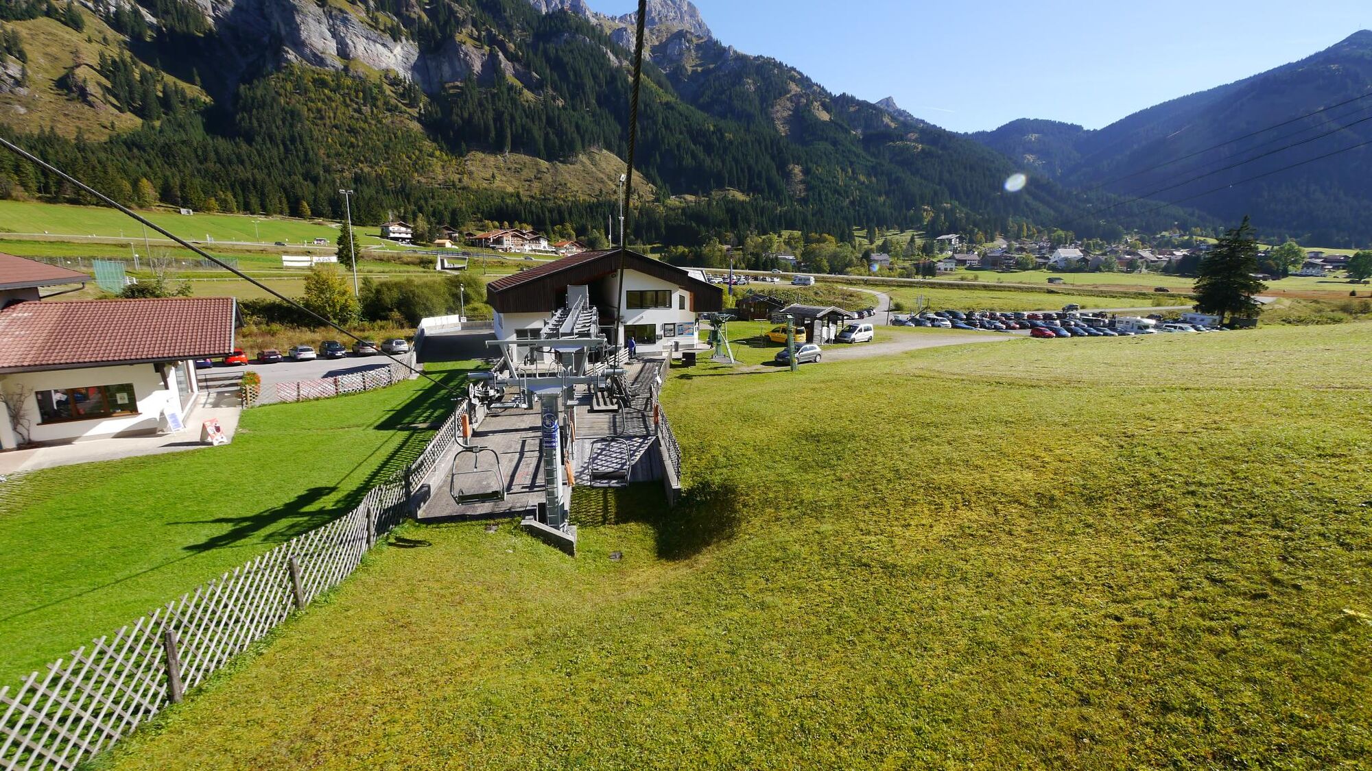
© Ferienregion Tannheimer Tal
© Ferienregion Tannheimer Tal
© TVB Tannheimer Tal
- Kratak opis
-
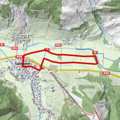
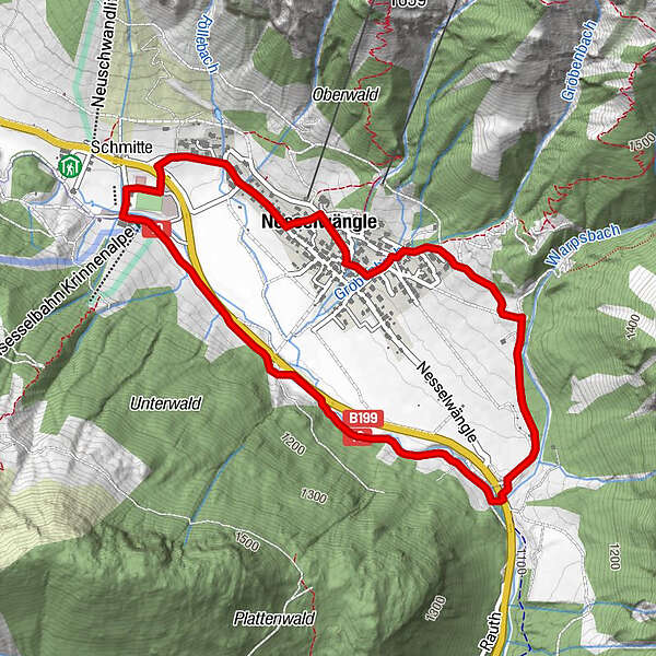
Klasse Laufrunde in Nesselwängle.
- Teškoća
-
srednje
- Vrednovanje
-
- Wegverlauf
-
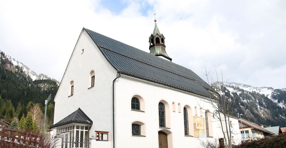
SchmitteKrinnenalpe0,0 kmHl. Antonius3,2 kmNesselwängle (1.136 m)3,8 kmPfarrkirche Mariä Himmelfahrt4,0 kmSchmitte4,9 km
- Beste Jahreszeit
-
sijveljožutrasvilipsrpkolrujlisstupro
- Höchster Punkt
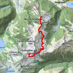
- 1.193 m
- Zielpunkt
-
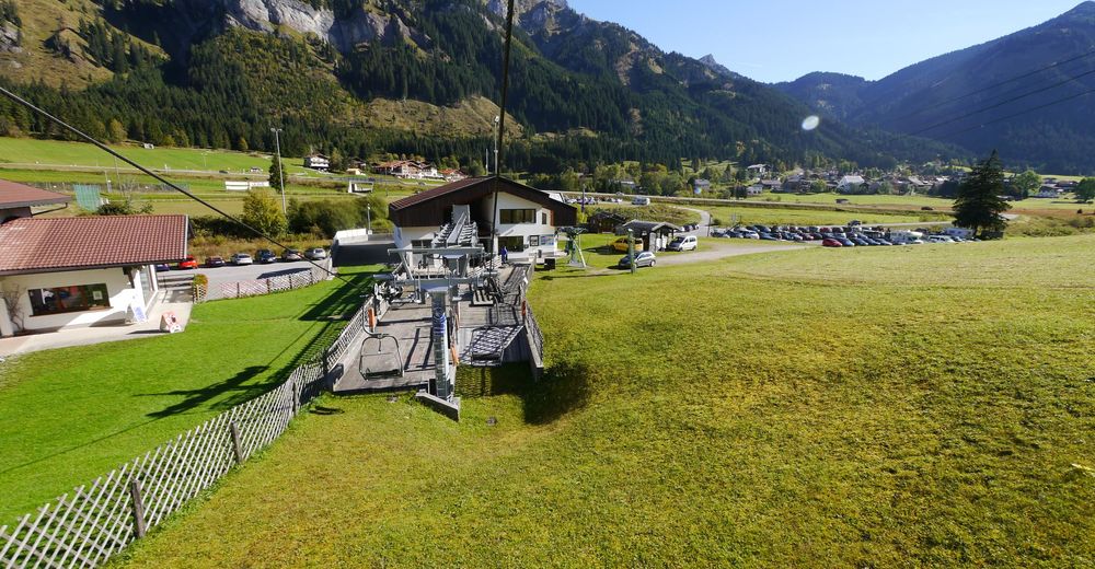
Liftparkplatz in Nesselwängle
- Höhenprofil
-


- Autor
-
Die Tour Dorfrunde wird von outdooractive.com bereitgestellt.
GPS Downloads


Opće informacije
Einkehrmöglichkeit
Geheimtipp
Flora
Fauna
Weitere Touren in den Regionen
-
Allgäu
101
-
Tannheimer Tal
47
-
Nesselwängle
29