© Panoramahotel Talhof - Tanja Weirather

- Wegverlauf
-
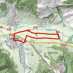
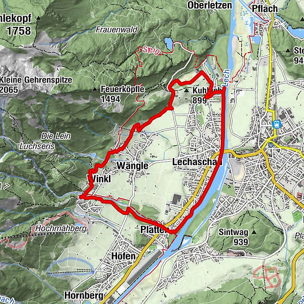
Holz0,1 kmWinkl0,3 kmPlatten1,5 kmGraben1,7 kmBuchenort2,2 kmLechaschau (846 m)3,1 kmReutte (853 m)3,3 kmLechaschauer Kirche3,4 kmKolomankapelle5,5 kmHinterbichl5,5 kmWängle (882 m)8,0 kmWinkl9,0 kmHolz9,3 km
- Höchster Punkt
- 966 m
- Zielpunkt
-
Hotel Talhof
- Höhenprofil
-

- Autor
-
Die Tour Lechufer Trail wird von outdooractive.com bereitgestellt.
GPS Downloads


Weitere Touren in den Regionen
-
Allgäu
101
-
Naturparkregion Reutte
41
-
Lechaschau
13