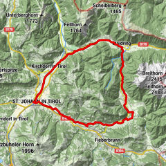
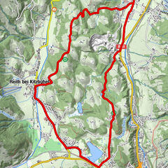
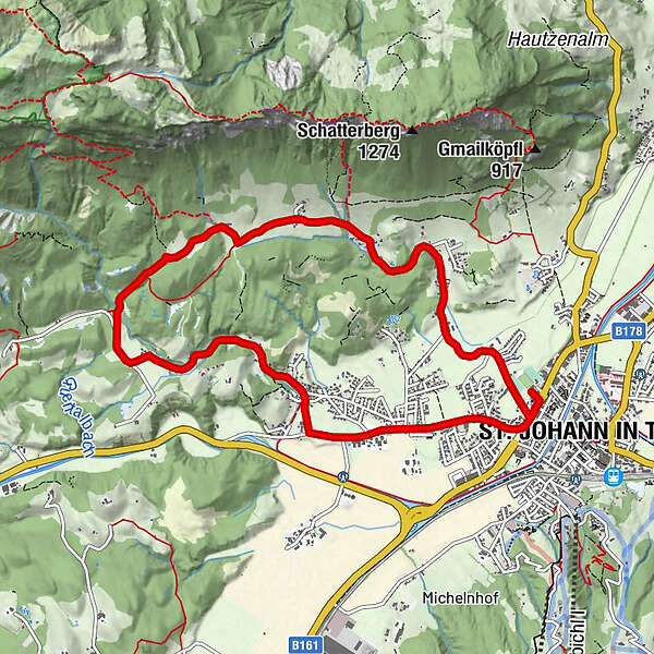
St. Johann in Tirol: Radweg Hinterkaiser - Rettenbach ins 'Moor & more'


© MirjaGeh.com - www.MirjaGeh.com

MirjaGeh.com

MirjaGeh.com
Podaci o ruti
9,8km
656
- 816m
120hm
121hm
01:00h
- Kratak opis
-
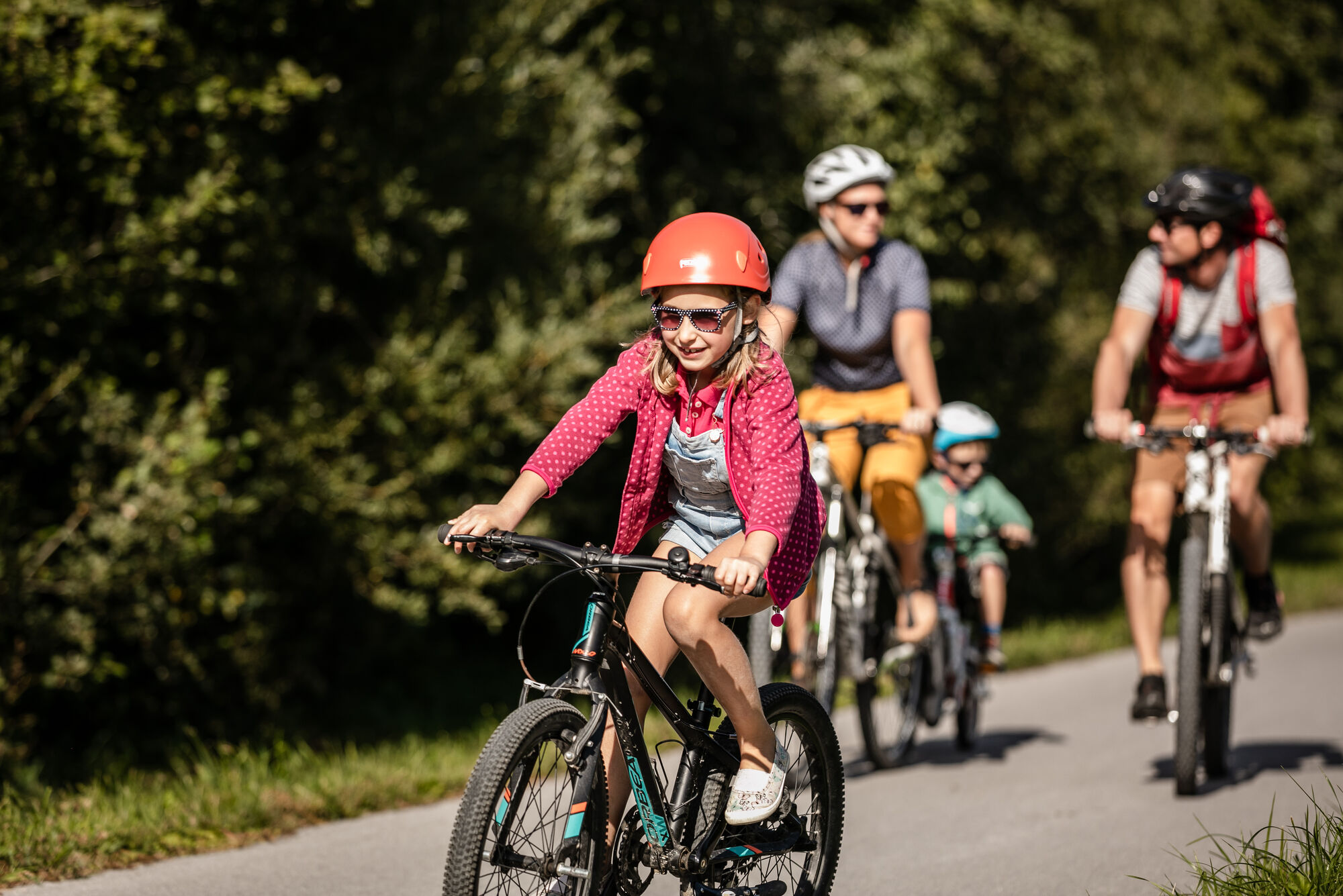
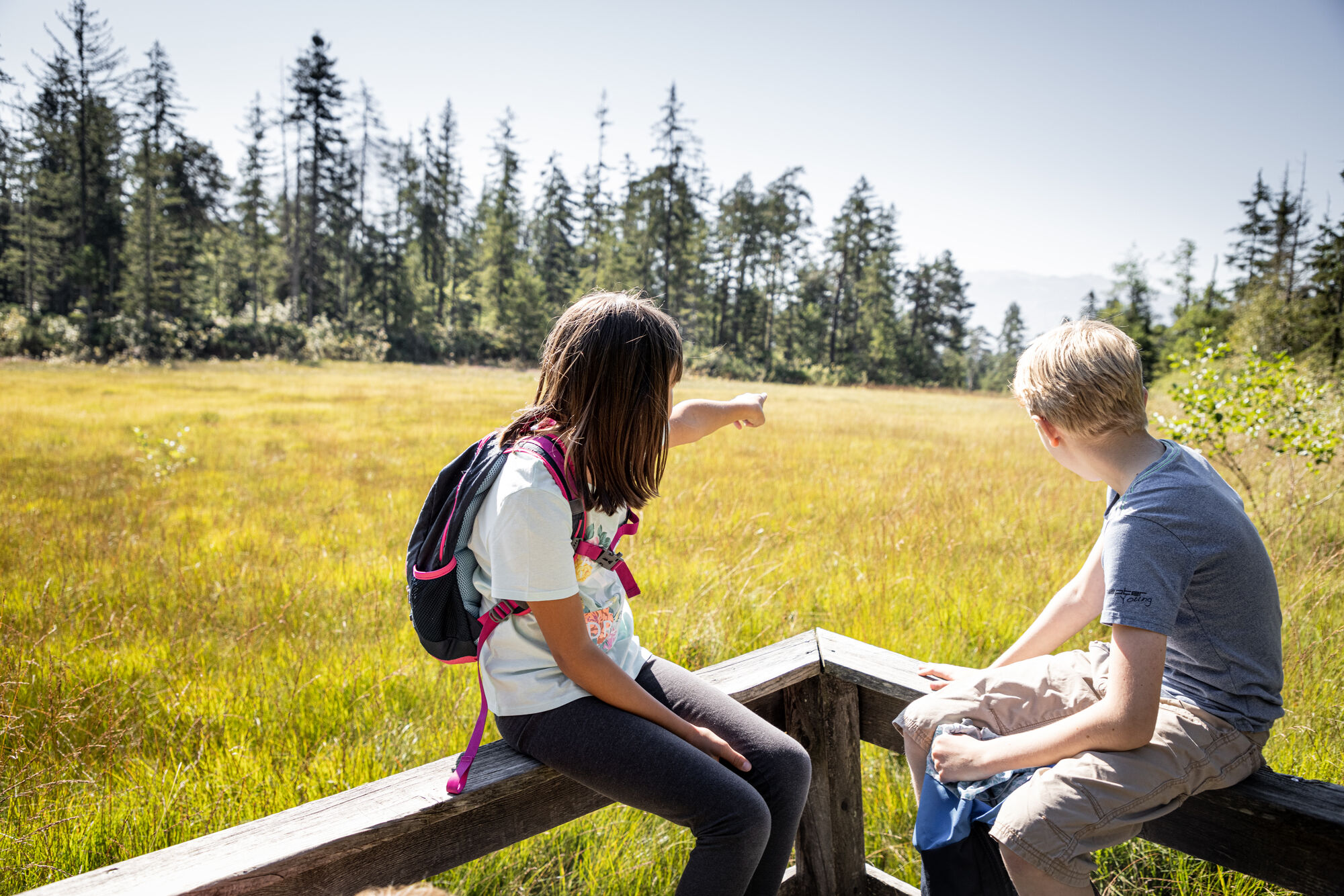
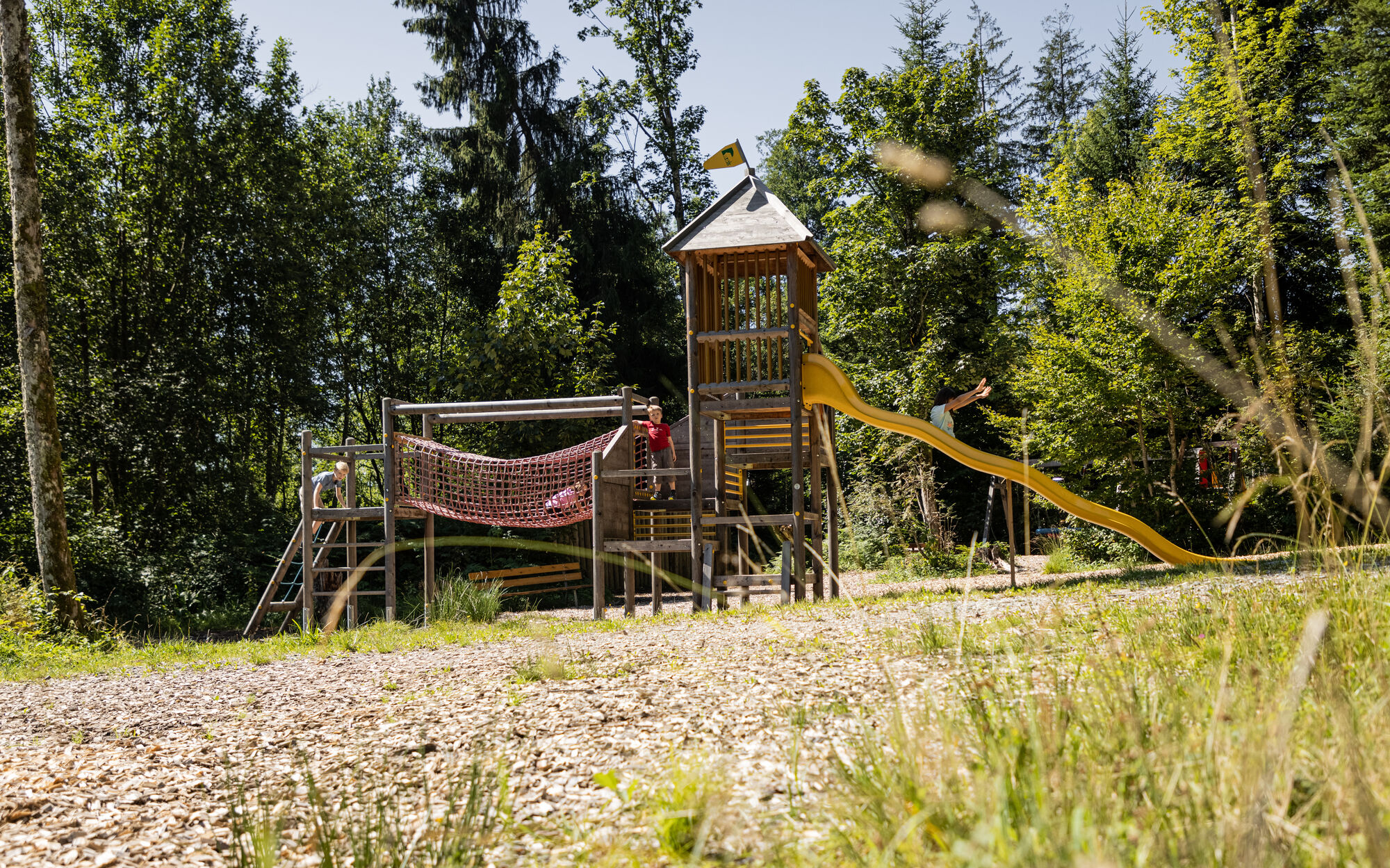
Mittelschwere Familienradtour aber es lockt viel Spass im Moor & more
- Vrednovanje
-
- Polazna točka
-
St. Johann in Tirol Koasastadion
- Wegverlauf
-
St. Johann in Tirol0,2 kmBarbara Kapelle1,7 kmHinterkaiser1,9 kmHinterkaiser2,7 kmMarterl2,9 kmRummlerhof3,3 kmWindhag3,6 kmMaurer4,0 kmUlmbichl7,2 kmRettenbach7,4 kmWeitau8,4 kmSt. Johann in Tirol9,5 km
- Beste Jahreszeit
-
sijveljožutrasvilipsrpkolrujlisstupro
- Höchster Punkt
- 816 m
- Rast/Einkehr
-
Gasthof Rummlerhof
- Materijal za karte
-
In allen Infobüros der Region: St. Johann in Tirol - Oberndorf - Kirchdorf
- Izvor
- Tourismusverband Kitzbüheler Alpen St. Johann in Tirol
GPS Downloads


Putevi
Asfalt
Šljunak
Šuma
Planinske staze
Jednostruki tragovi
Pokus
Promet
Weitere Touren in den Regionen