© Alpbachtal - Matthias Sedlak
© Alpbachtal - Matthias Sedlak

© Alpbachtal Tourismus

© Alpbachtal Tourismus
© Alpbachtal - Eva Wegscheider
© Alpbachtal - Birgit Angermair
© Alpbachtal - Birgit Angermair
© Alpbachtal - Birgit Angermair

- Kratak opis
-
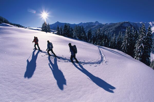
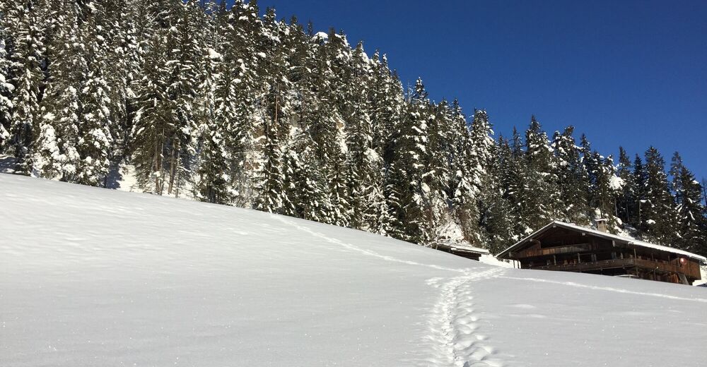
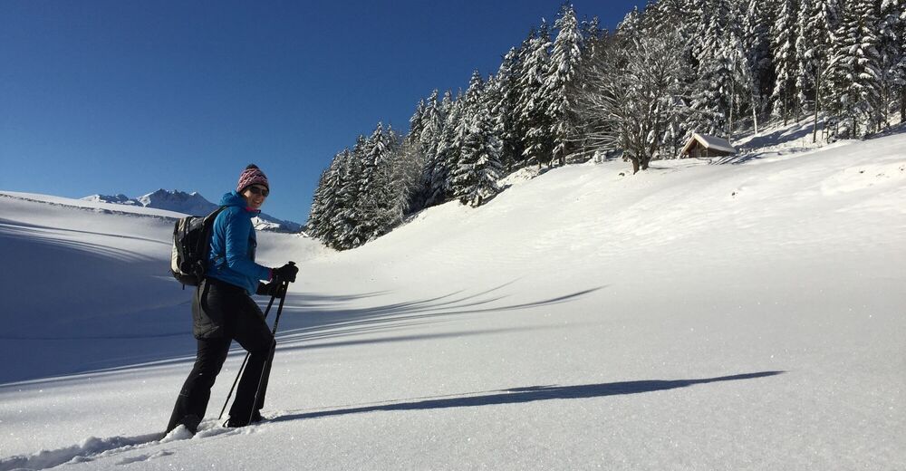
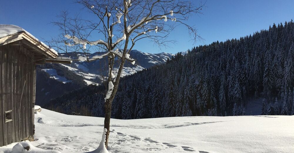
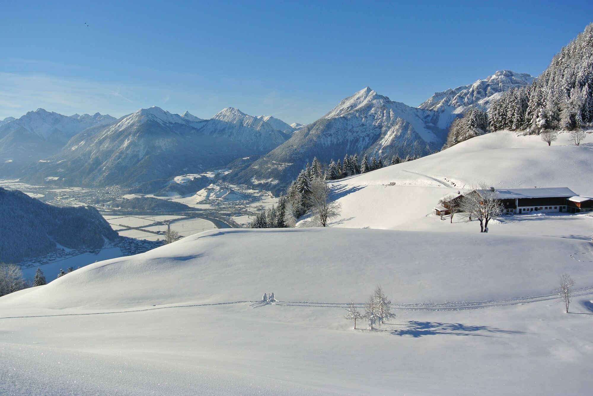
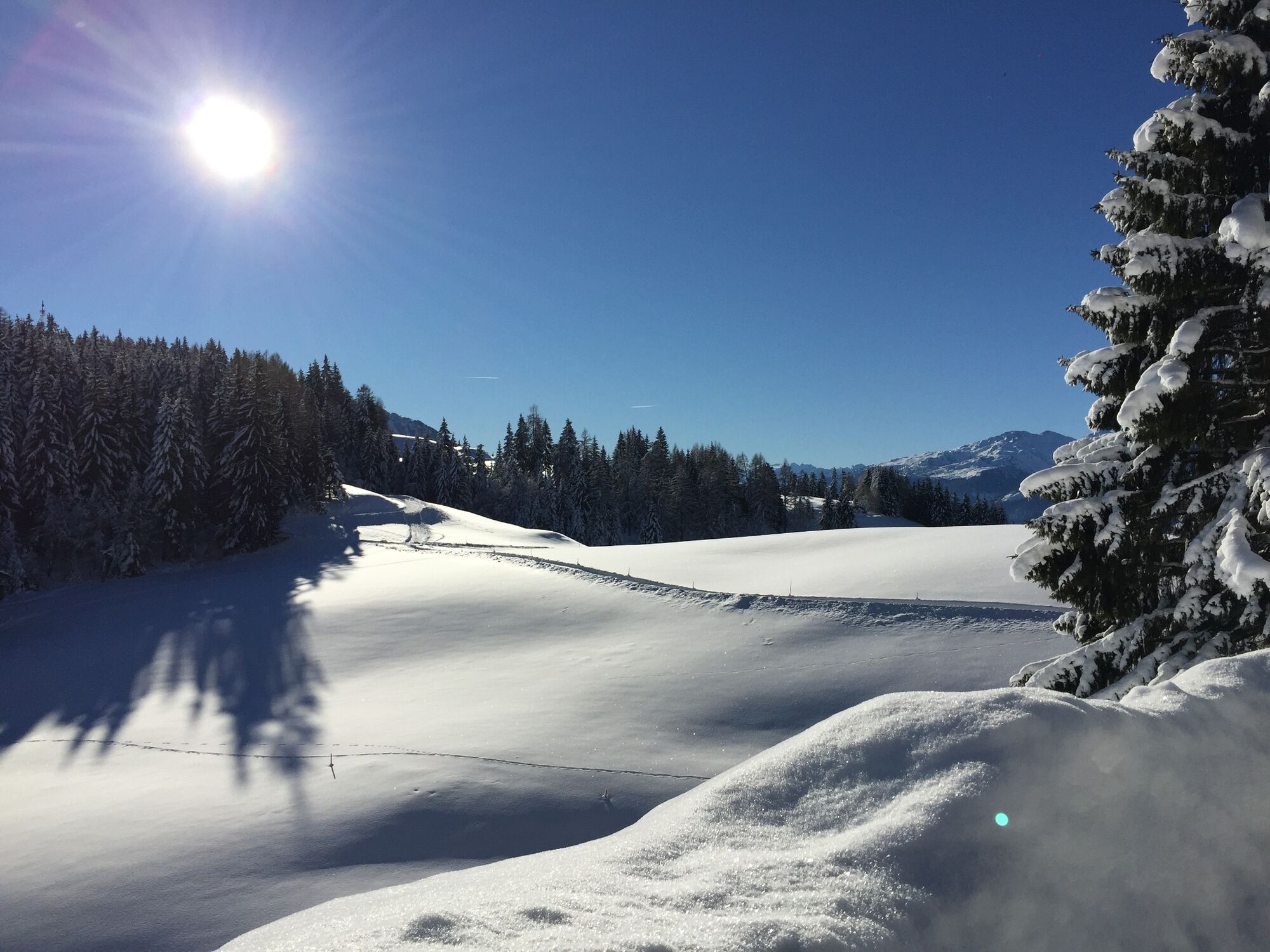
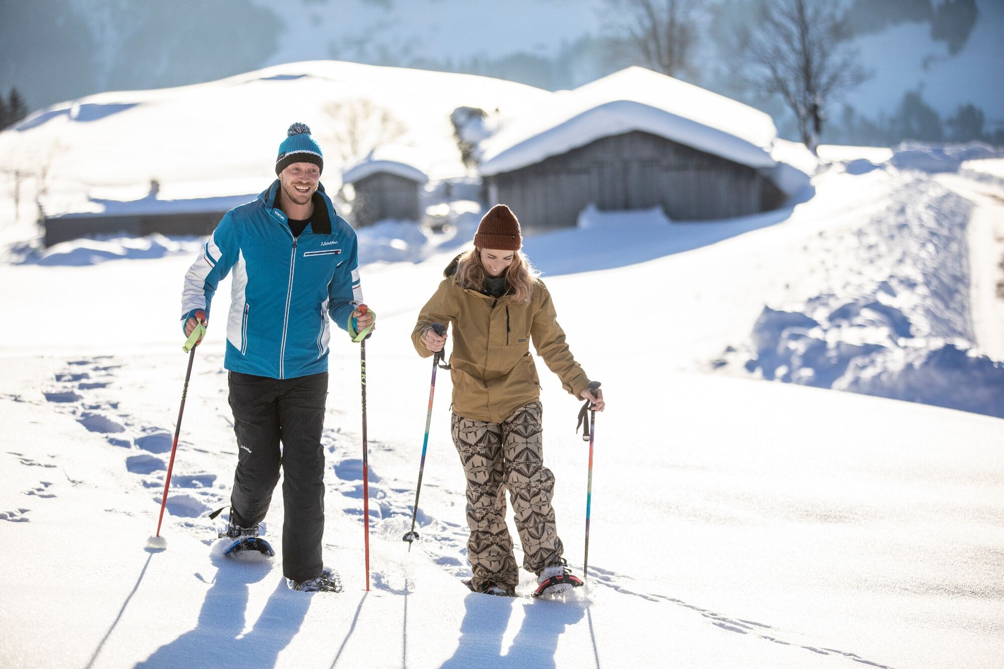
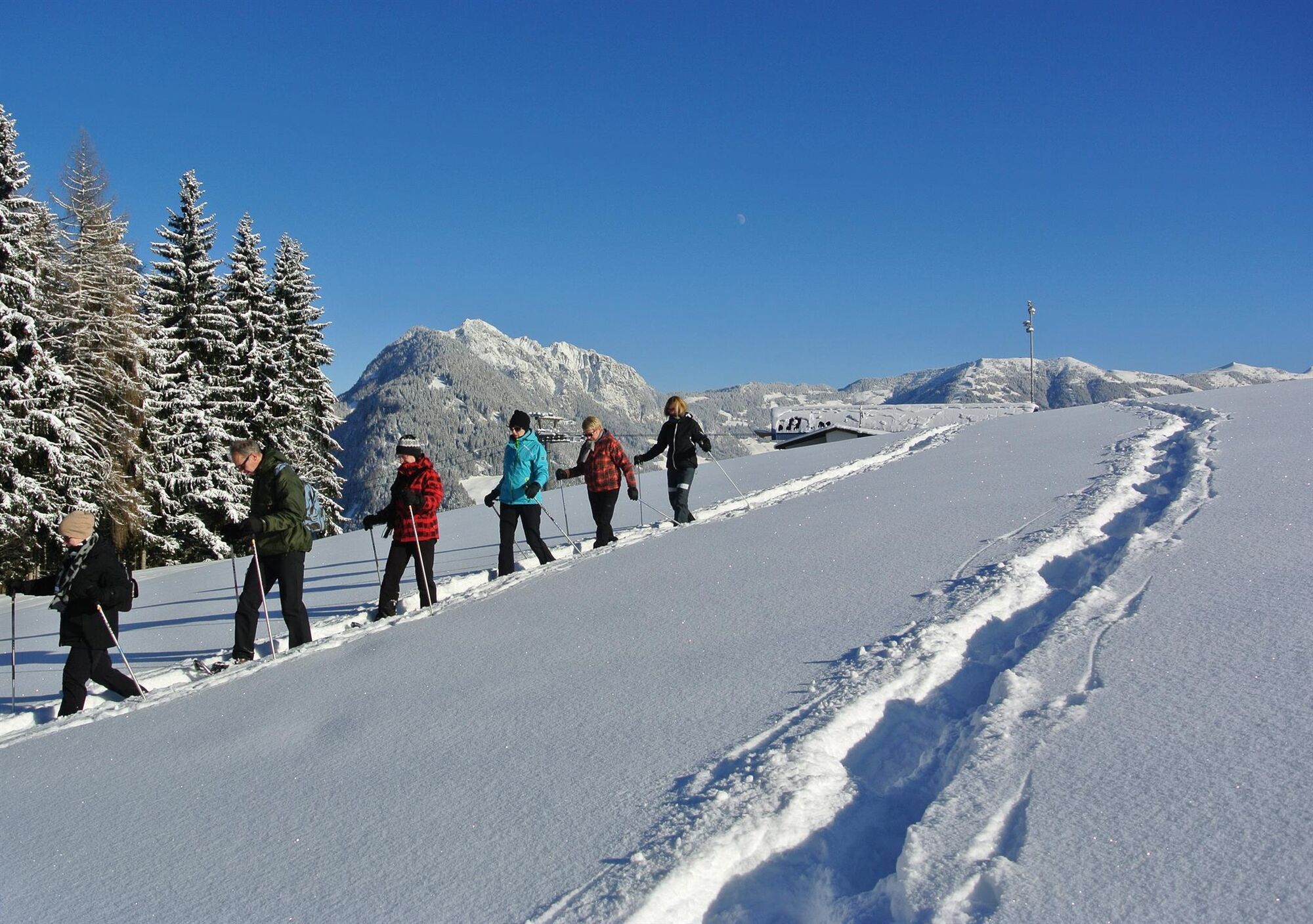
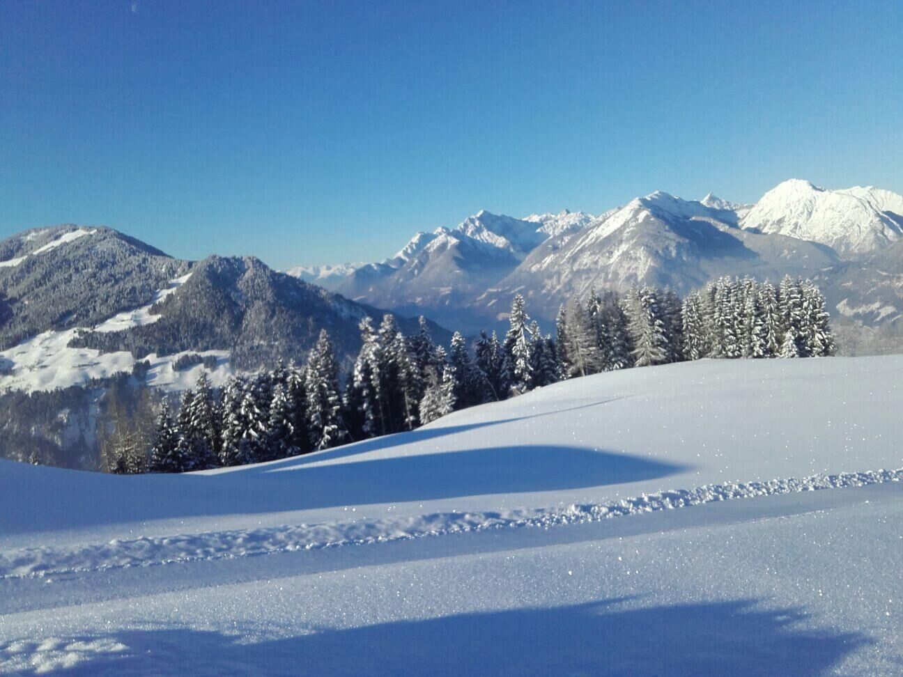
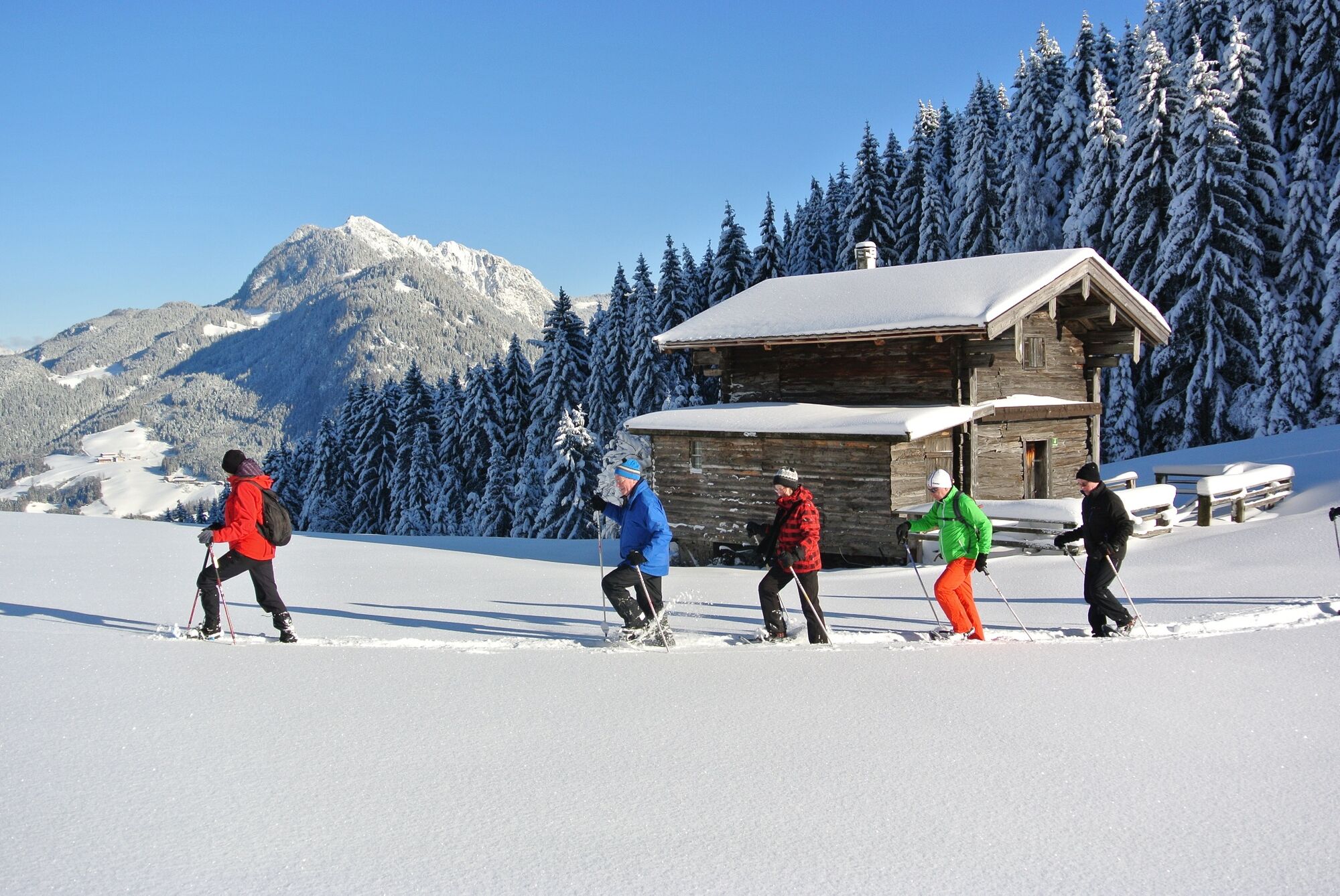
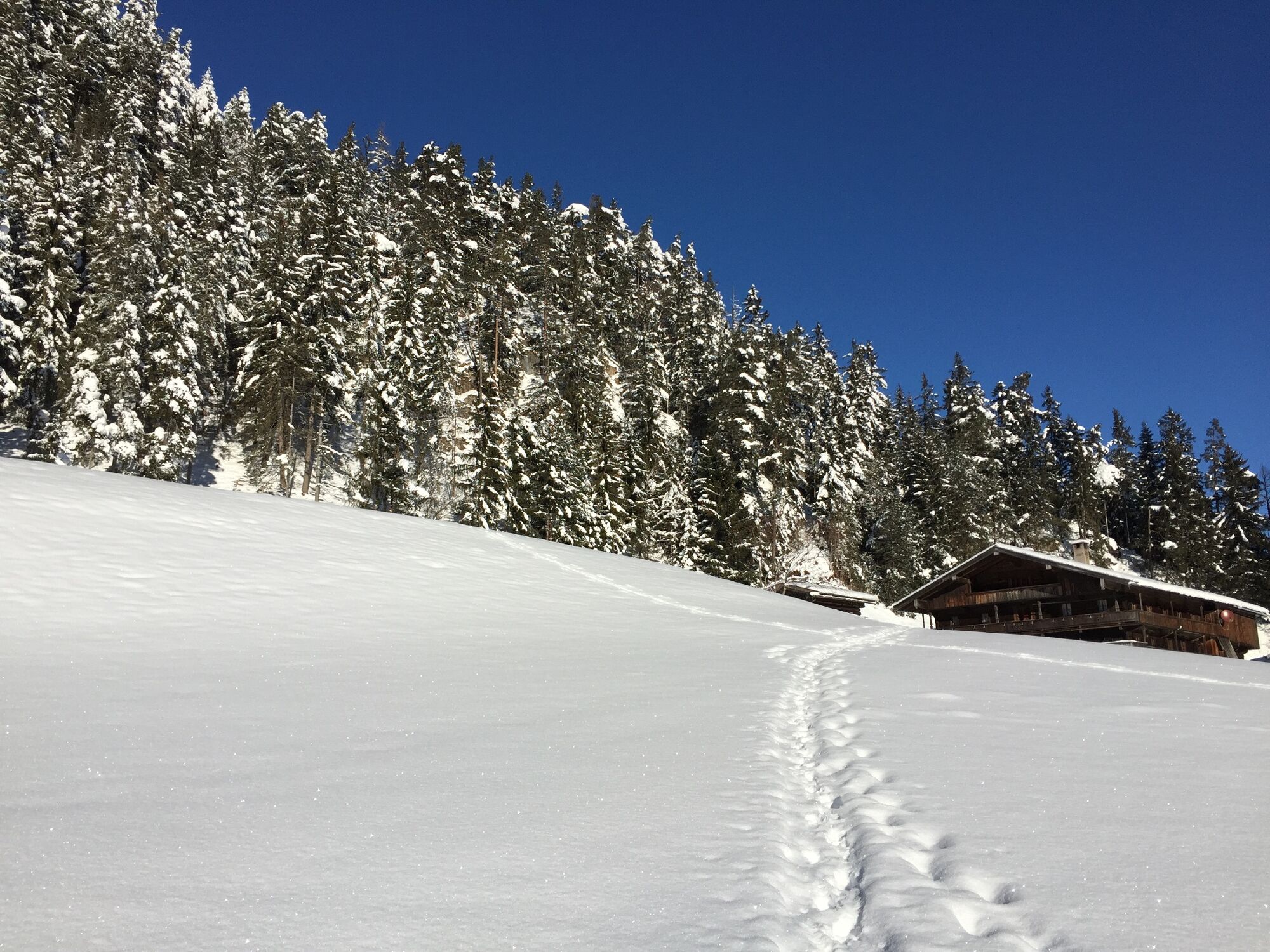
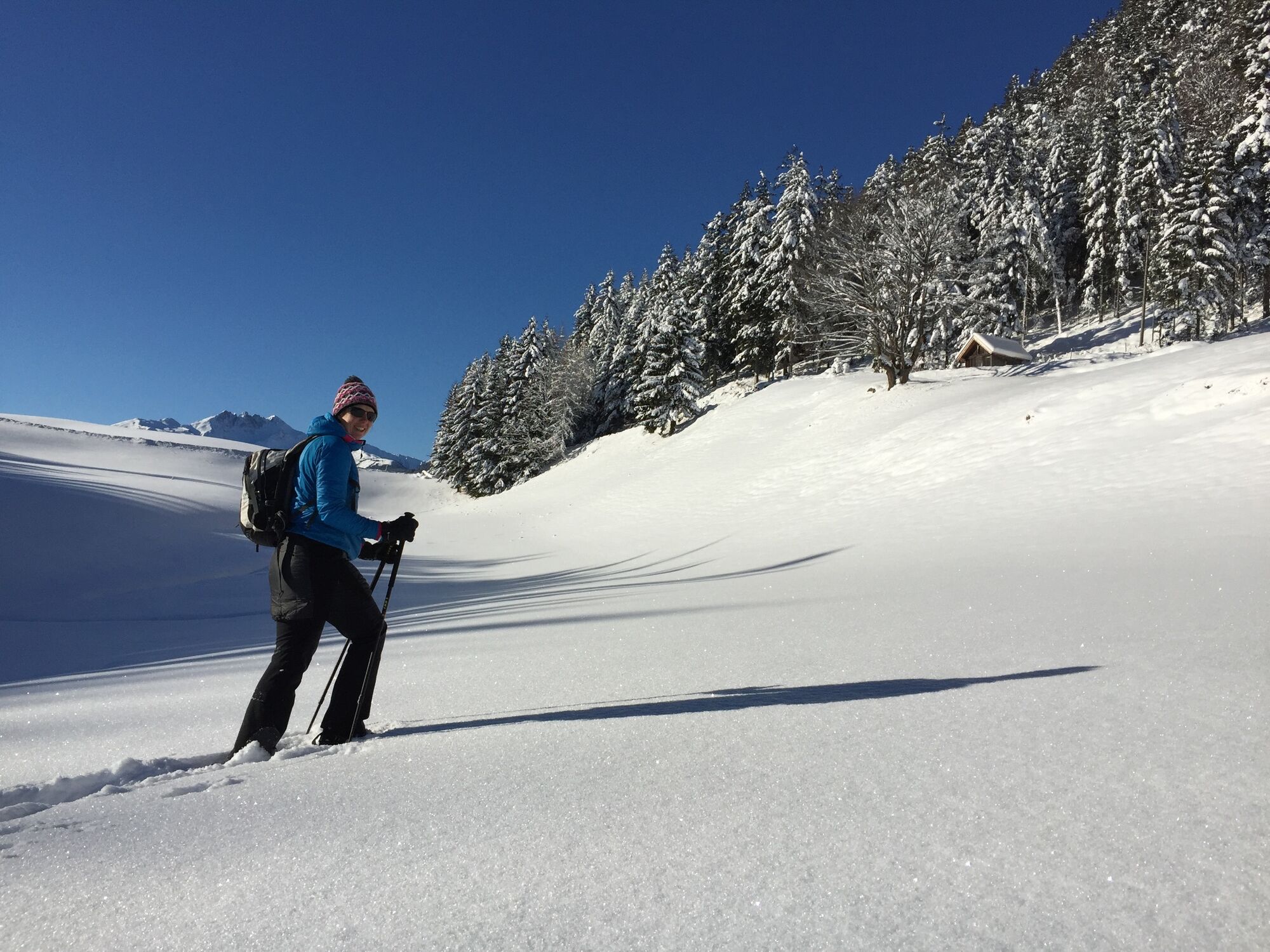
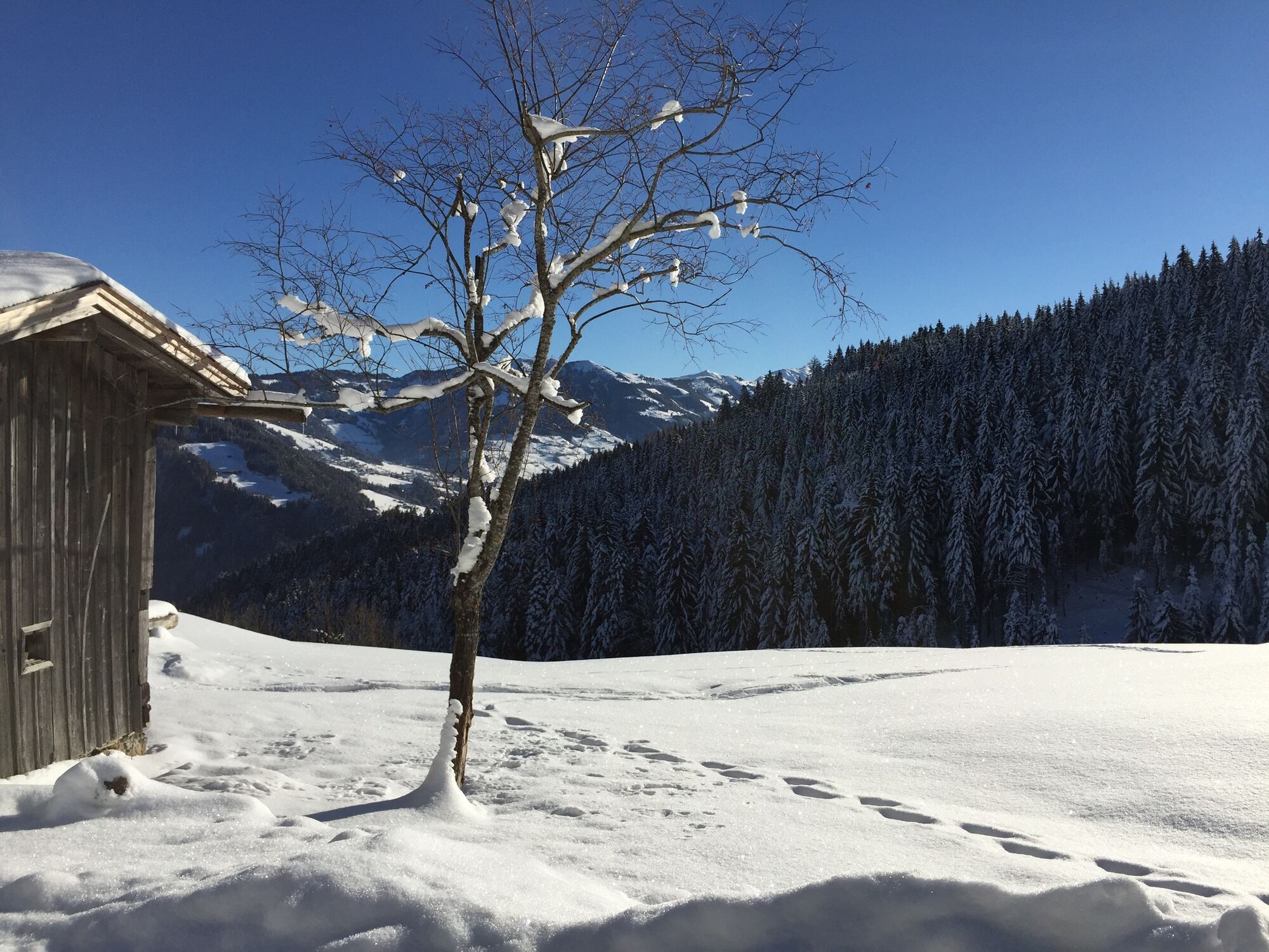
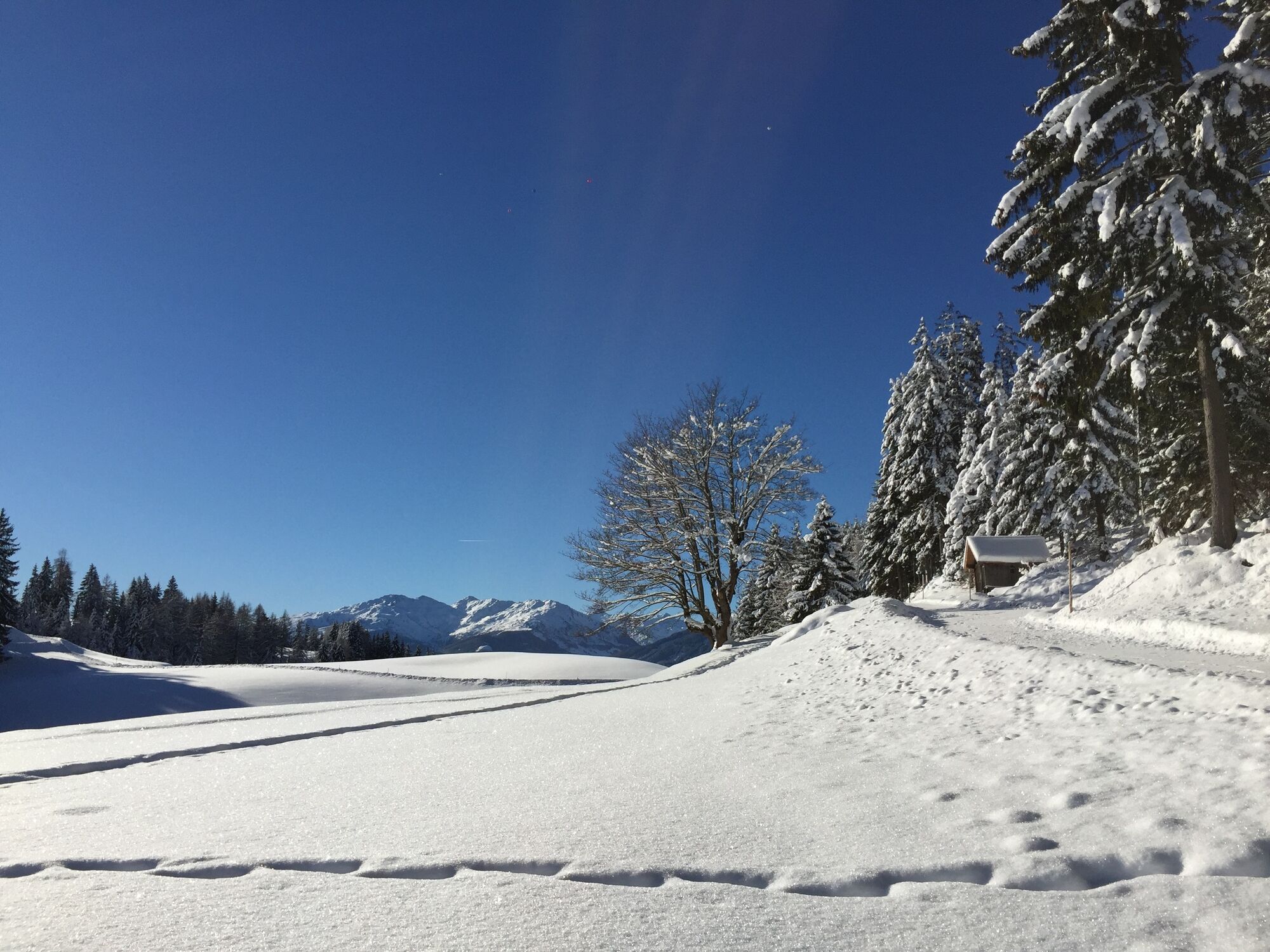
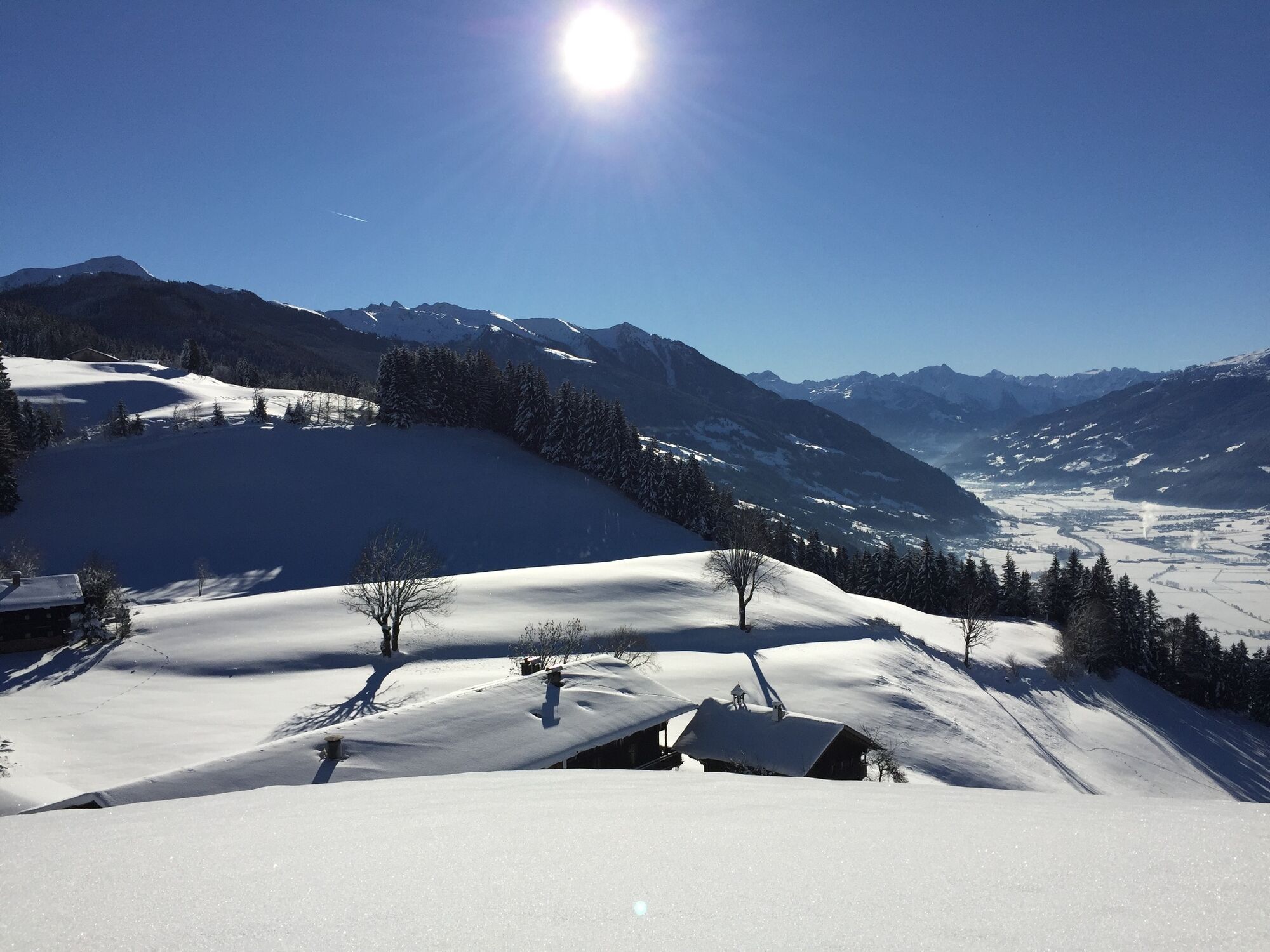
Easy snowshoe hike through idyllic woods and along a plateau at the foot of the Reither Kogel
- Teškoća
-
srednje
- Vrednovanje
-
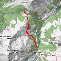
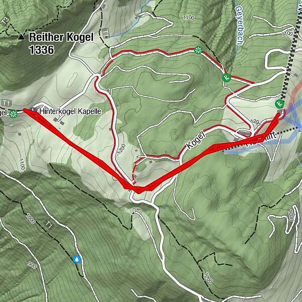
- Wegverlauf
- Beste Jahreszeit
-
kolrujlisstuprosijveljožutrasvilipsrp
- Höchster Punkt
- 1.238 m
- Zielpunkt
-
Reitherkogelbahn top station
- Höhenprofil
-


- Autor
-
Die Tour Reither Kogel wird von outdooractive.com bereitgestellt.
GPS Downloads


Opće informacije
Aussichtsreich
Weitere Touren in den Regionen
-
Alpbachtal
35
-
Bruck am Ziller
17