
- Kratak opis
-
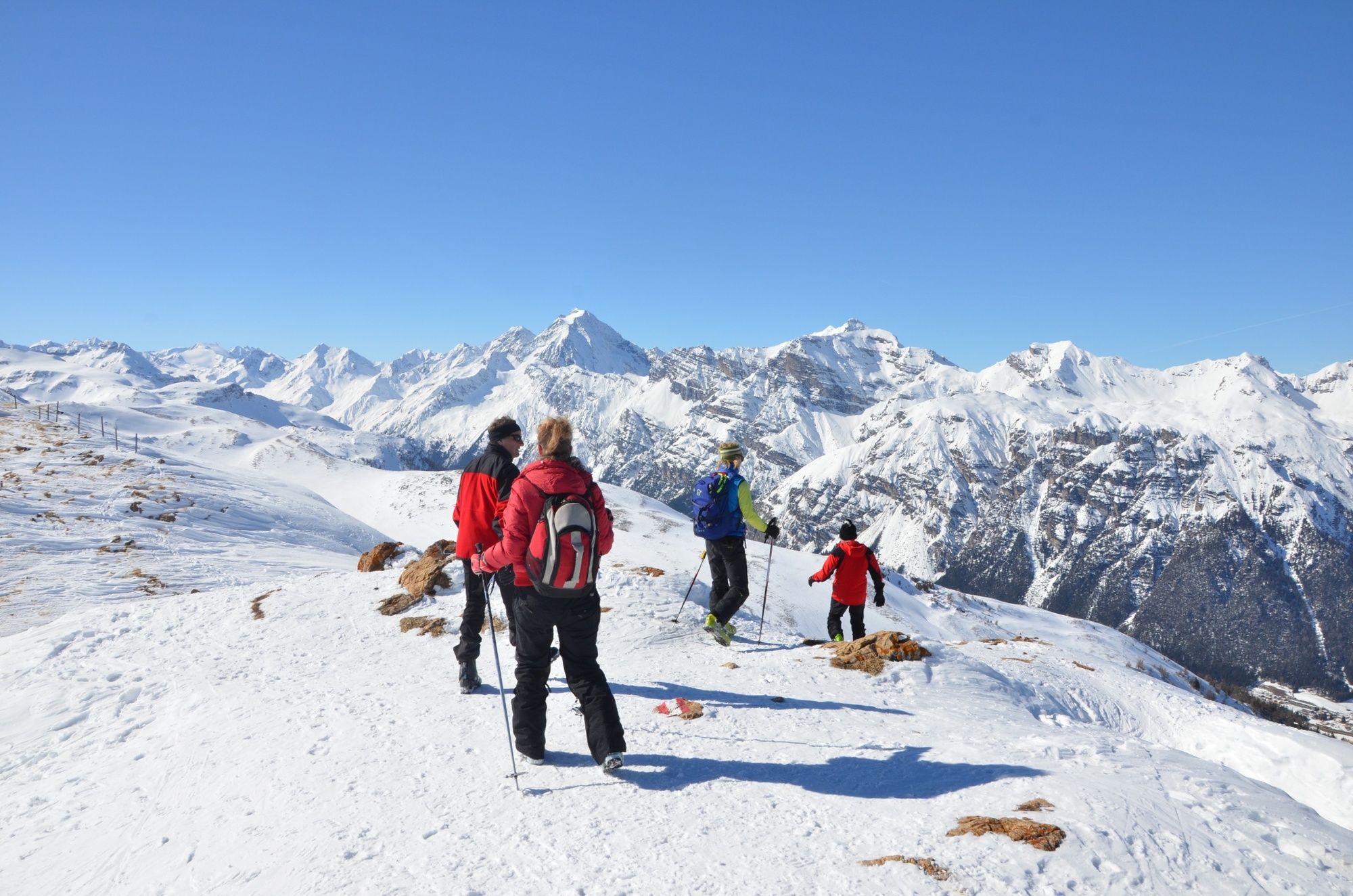
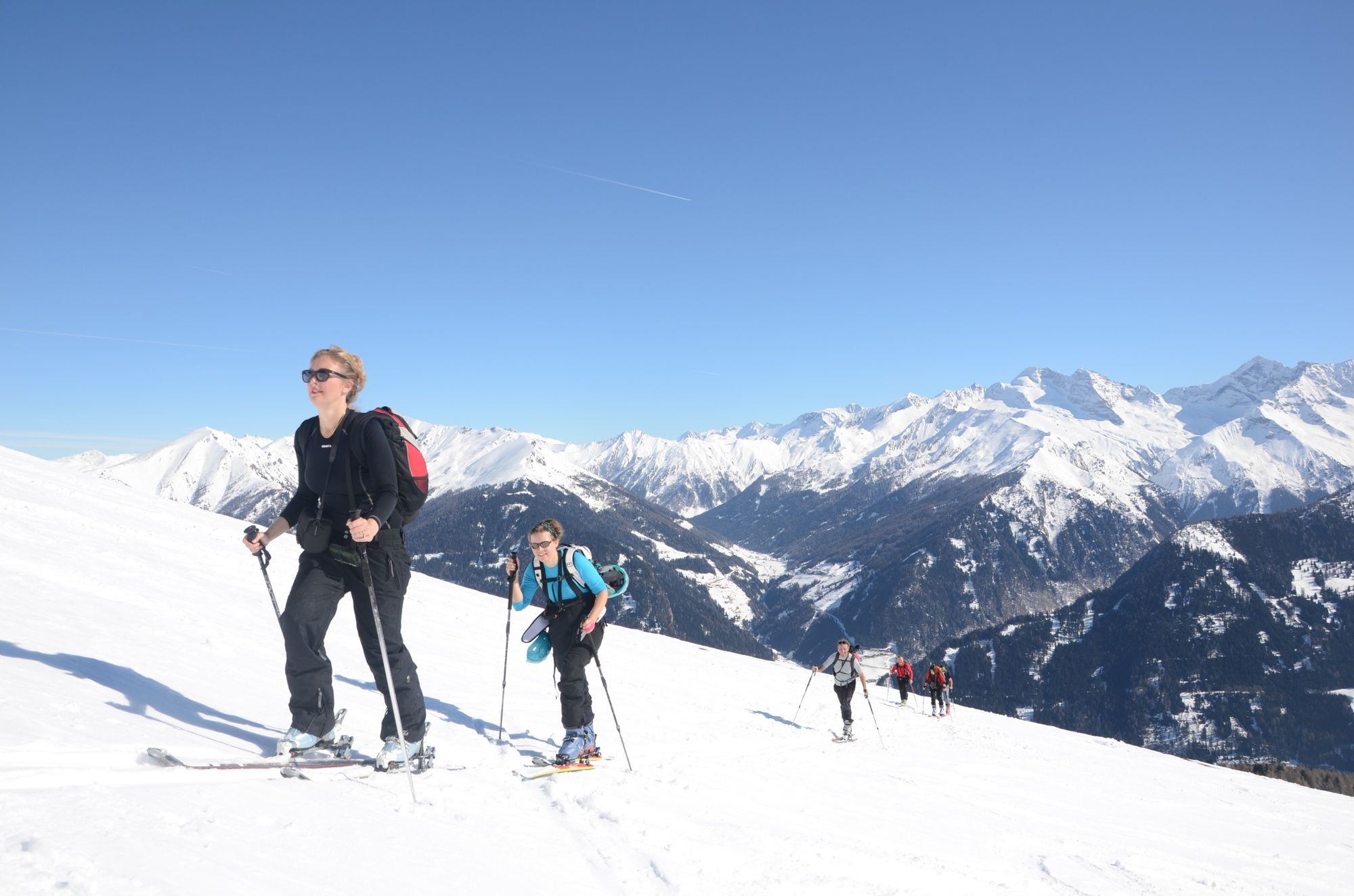
Einfache Tour - ein Genuss für Familien und Einsteiger!
- Teškoća
-
lagano
- Vrednovanje
-
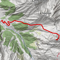
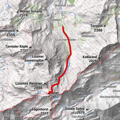
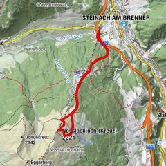
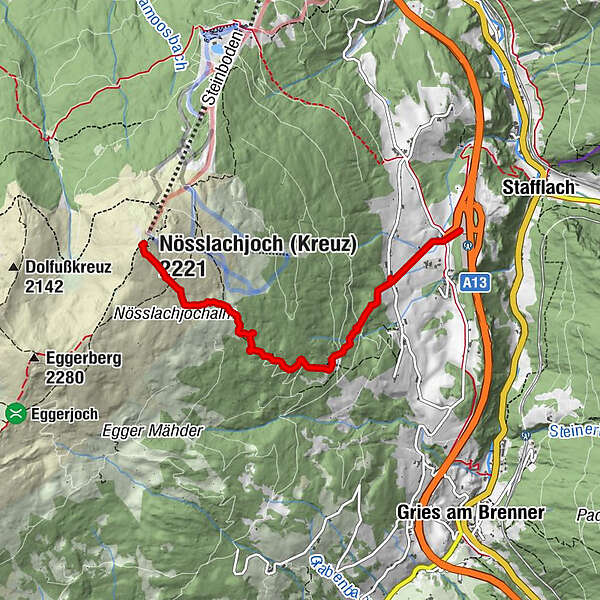
- Wegverlauf
-
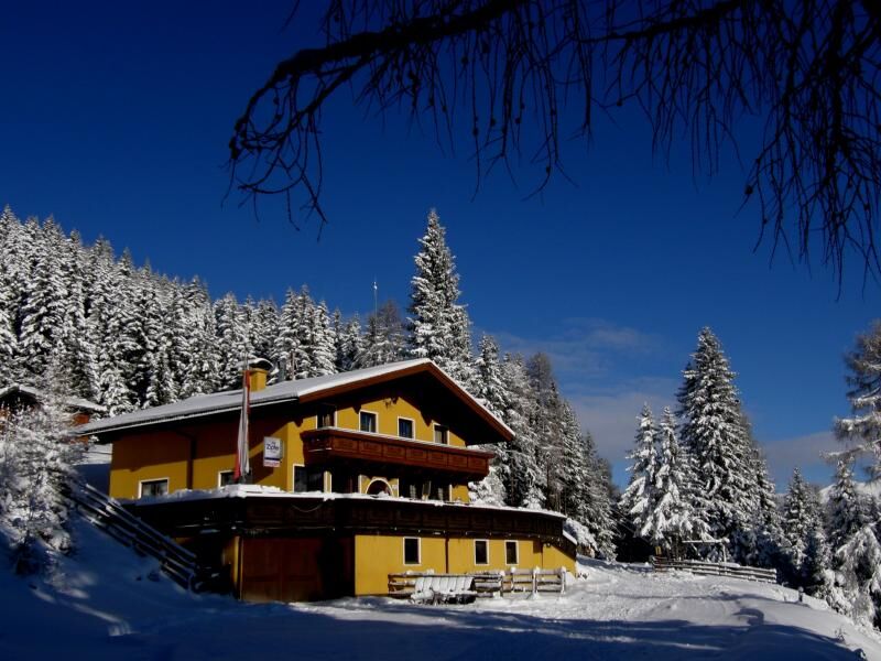
Nösslachhütte (1.600 m)1,8 kmBergwerk (1.751 m)2,5 km
- Beste Jahreszeit
-
kolrujlisstuprosijveljožutrasvilipsrp
- Höchster Punkt
- 2.203 m
- Zielpunkt
-
Parkplatz Autobahnausfahrt Nösslach
- Exposition
- Höhenprofil
-

- Autor
-
Die Tour Nösslachjoch (2.231m) wird von outdooractive.com bereitgestellt.
GPS Downloads


Opće informacije
Einkehrmöglichkeit
Aussichtsreich
Weitere Touren in den Regionen