© Tannheimer Tal - Florian Müller

© Outdooractive Premium - Hartmut Wimmer

© AV-alpenvereinaktiv.com - Wolfgang Doll

© Outdooractive Premium - Hartmut Wimmer

© Outdooractive Premium - Hartmut Wimmer

© Tannheimer Tal - Sonnenbergbahnen Grän

© Pfronten Tourismus - Erwin Reiter

© Tannheimer Tal - Florian Müller
- Kratak opis
-
A journey through the origins of the mountains
- Teškoća
-
srednje
- Vrednovanje
-
- Wegverlauf
-
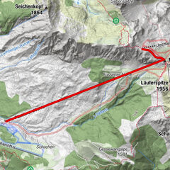
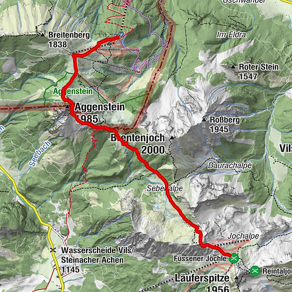
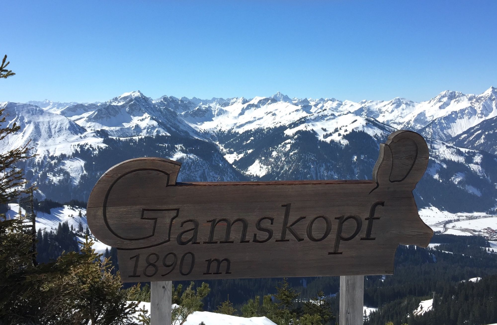
Gamskopf (1.890 m)0,2 kmJochalpe0,3 kmSebenalpe (1.640 m)1,8 kmBad Kissinger Hütte4,0 kmGeißstein4,1 kmAggenstein (1.985 m)4,6 kmBayern-Tirol Sattel4,6 kmHochalphütte6,8 km
- Beste Jahreszeit
-
sijveljožutrasvilipsrpkolrujlisstupro
- Höchster Punkt
- 1.927 m
- Zielpunkt
-
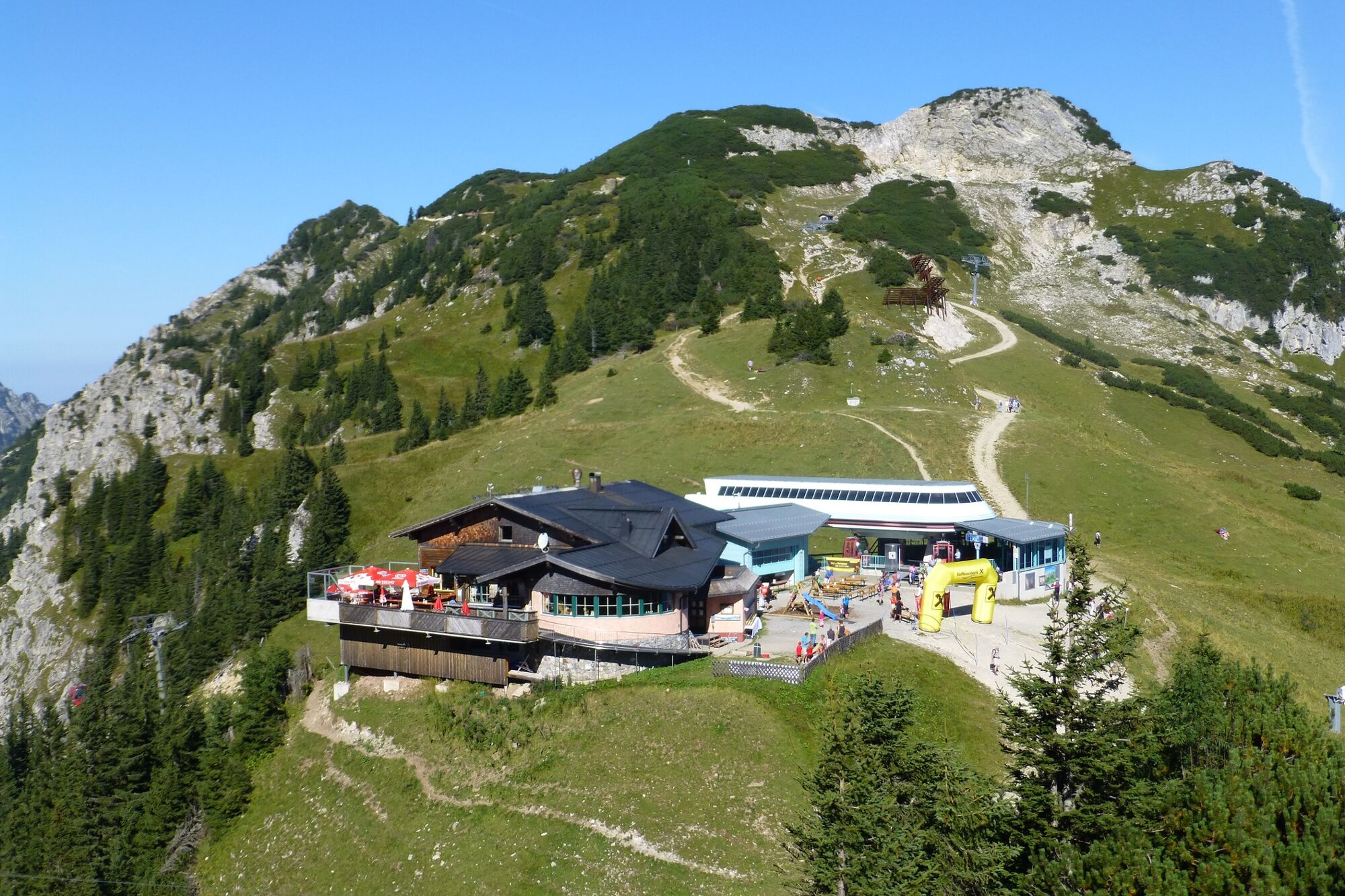
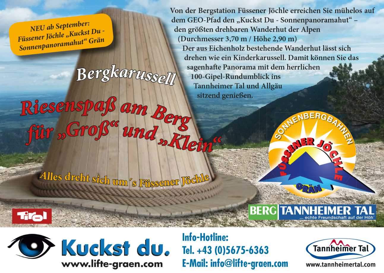
Sonnenbergbahn in Grän
- Höhenprofil
-


-

-
AutorDie Tour GeoPanoramaway Breitenberg - Füssner Jöchle wird von outdooractive.com bereitgestellt.
GPS Downloads


Opće informacije
Einkehrmöglichkeit
Kulturell/Historisch
Flora
Fauna
Aussichtsreich
Weitere Touren in den Regionen
-
Allgäu
2359
-
Tannheimer Tal
1458
-
Grän-Haldensee - Füssener Jöchle
570