
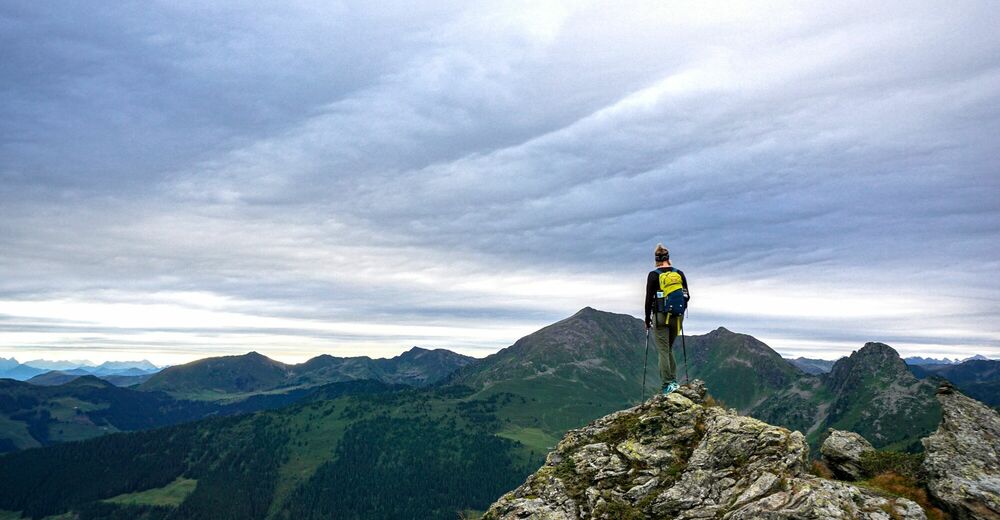
© Alpbachtal Tourismus


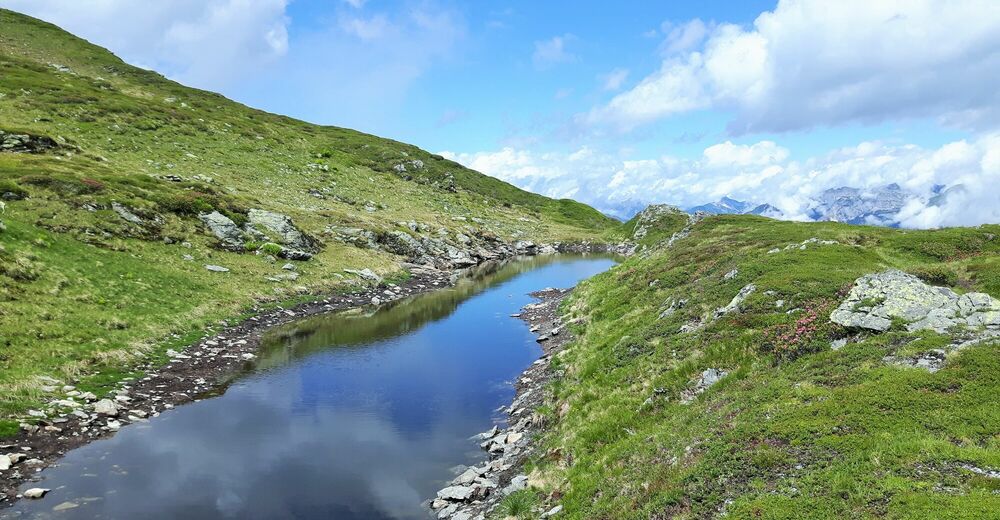
© Alpbachtal - Birgit Angermair

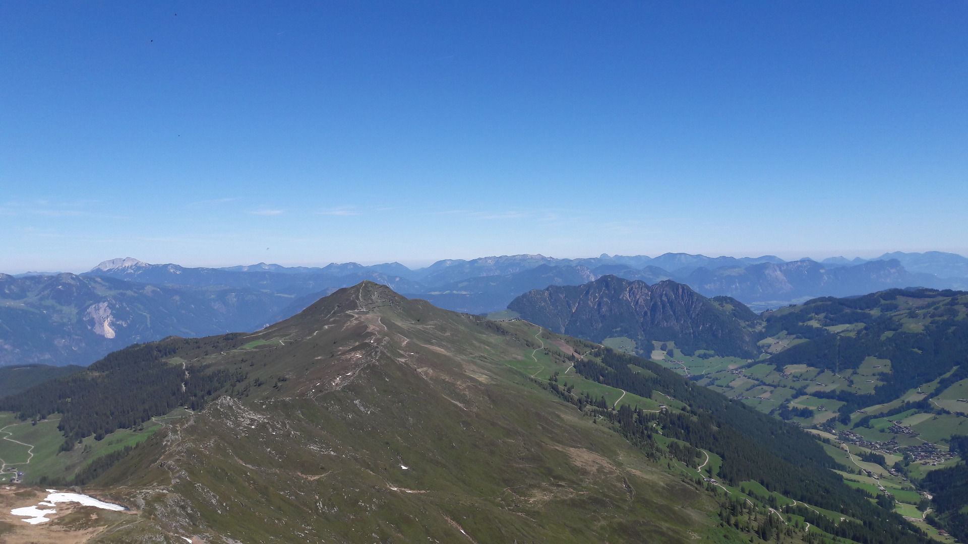
© Alpbachtal - Birgit Angermair

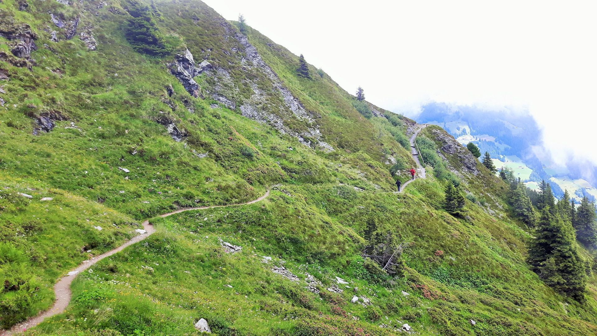
© Alpbachtal - Birgit Angermair

© Alpbachtal - Birgit Angermair


- Kratak opis
-
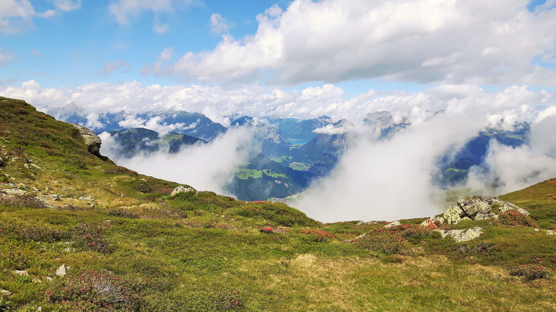
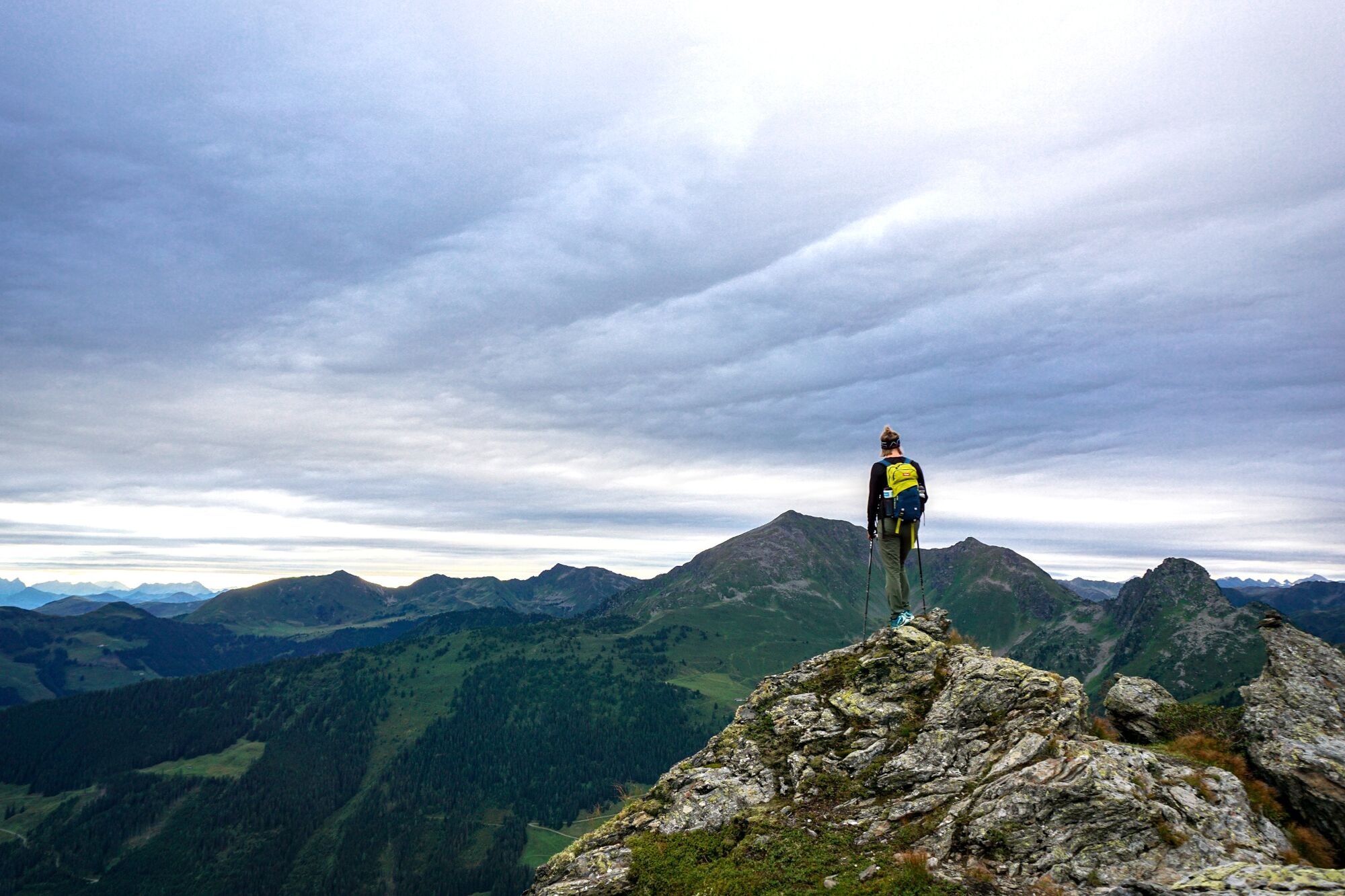
2-peaks in high Alpine terrain offering spectacular views
- Teškoća
-
srednje
- Vrednovanje
-
- Wegverlauf
-
Dauerstoa Alm0,0 kmGmahbahn0,1 kmBrandegglift0,5 kmHornalm1,6 kmHornlift 20001,7 kmHochstand (2.058 m)2,9 kmStandkopf (2.241 m)4,6 kmHochstand (2.058 m)6,2 kmHornlift 20007,5 kmHornalm7,6 kmWiedersberger Horn (2.127 m)7,8 kmBrandegglift8,7 kmPöglbahn Bergstation9,0 kmGmahbahn9,0 kmDauerstoa Alm9,2 km
- Beste Jahreszeit
-
sijveljožutrasvilipsrpkolrujlisstupro
- Höchster Punkt
- 2.211 m
- Zielpunkt
-
Wiedersbergerhornbahn top station, Alpbach
- Höhenprofil
-


- Autor
-
Die Tour Along the ridge to the Standkopf 2.241 m wird von outdooractive.com bereitgestellt.
GPS Downloads


Opće informacije
Einkehrmöglichkeit
Aussichtsreich
Weitere Touren in den Regionen
-
Alpbachtal
1502
-
Alpbach
494


