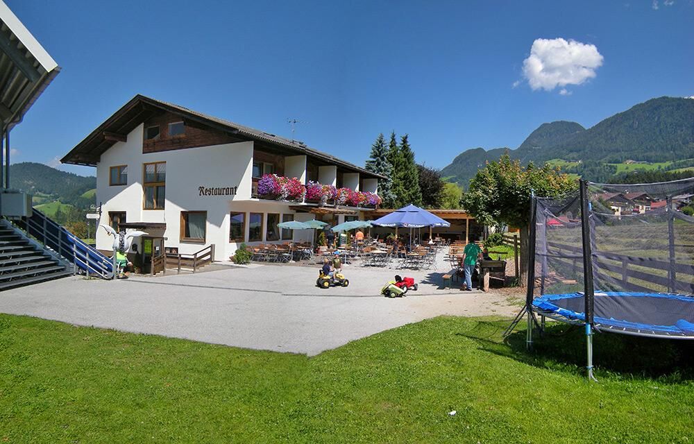
© Alpbachtal - Gabriele Grießenböck


© Alpbachtal - Gabriele Grießenböck


© Outdooractive – 3D Videos

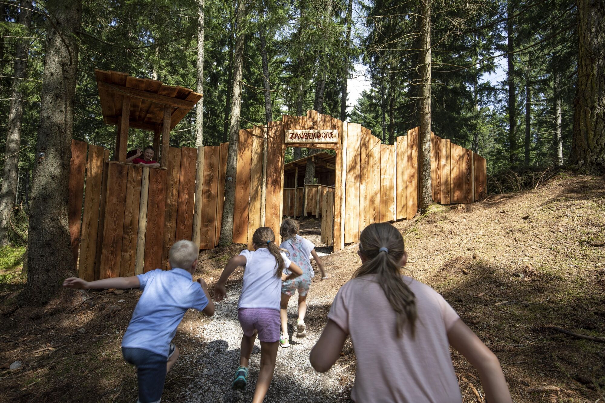
© Alpbachtal Tourismus - Alpbachtal Seenland Tourismus

© Liftcafe Heisn

© Alpbachtal Tourismus

- Kratak opis
-
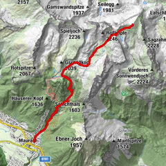
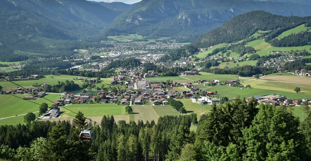
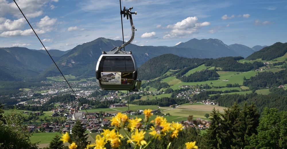
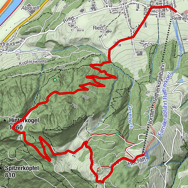
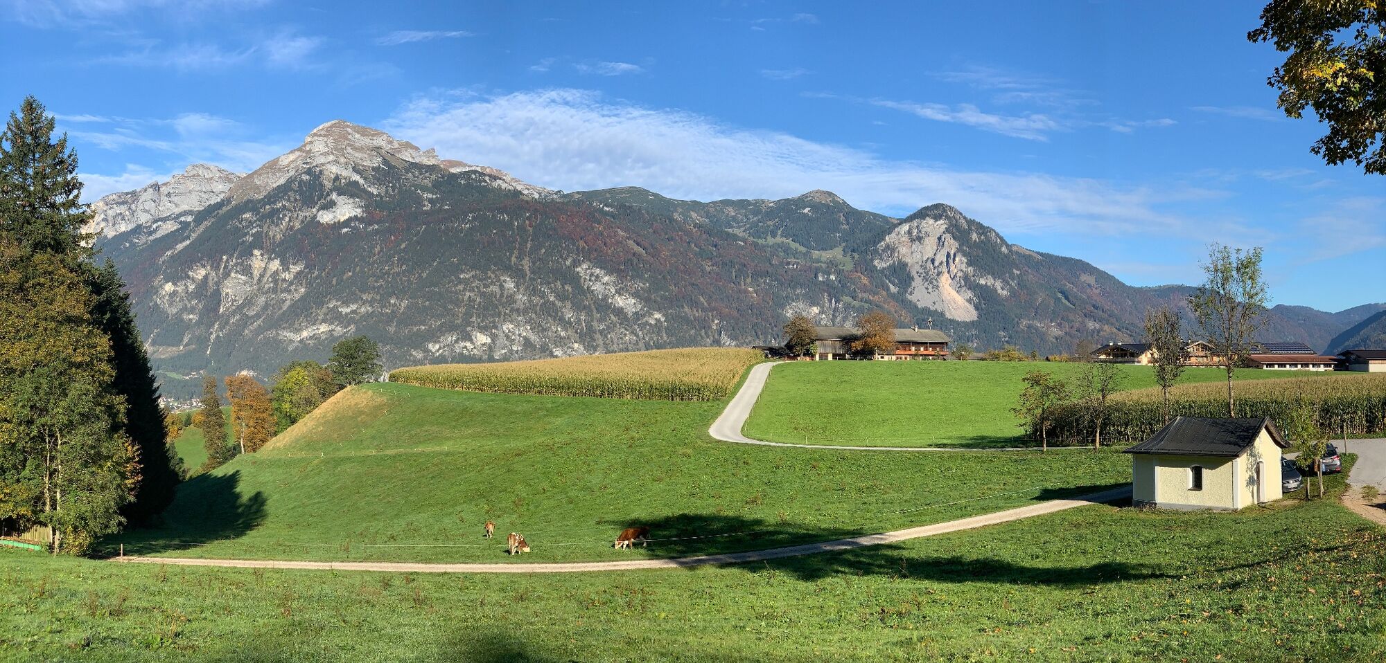
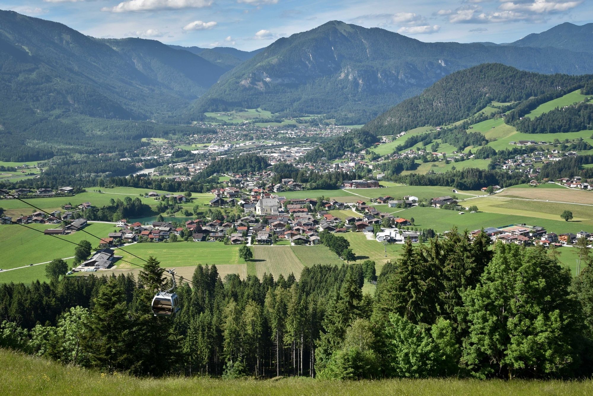
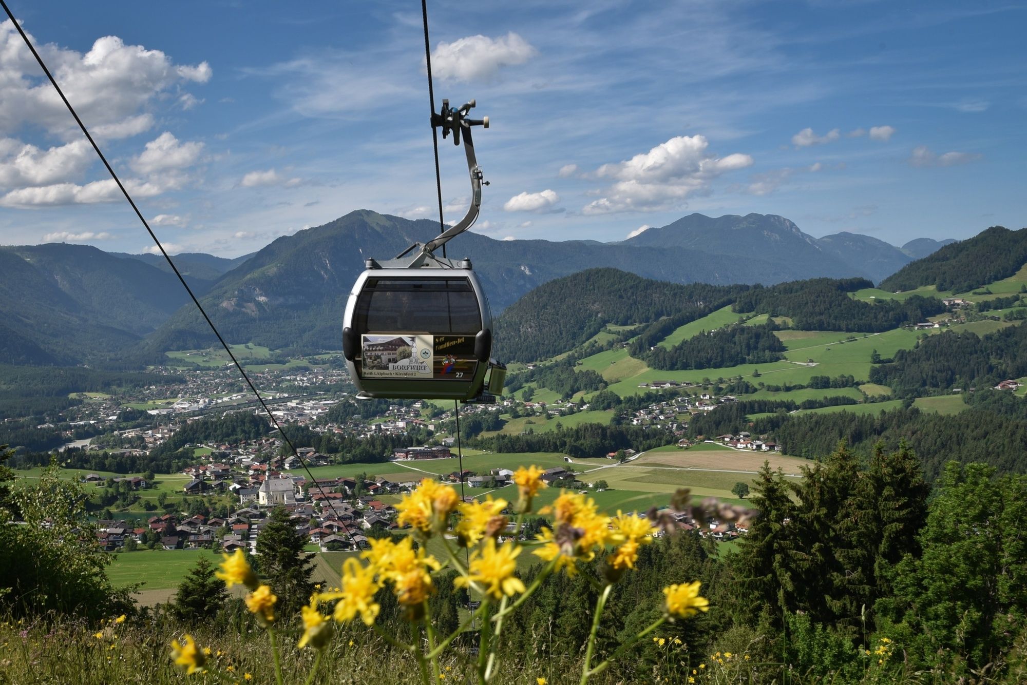
The panorama path leads from the Reitherkogelbahn top station down to Reith im Alpbachtal. Splendid views over four valleys - the Alpbach, Ziller, Inn and Achen Valleys.
- Teškoća
-
lagano
- Vrednovanje
-
- Wegverlauf
-
Aussichtspunkt Hinterkogel1,9 kmHub Kapelle6,7 kmReith im Alpbachtal (638 m)7,9 km
- Beste Jahreszeit
-
sijveljožutrasvilipsrpkolrujlisstupro
- Höchster Punkt
- 1.218 m
- Zielpunkt
-
Reitherkogelbahn bottom station
- Höhenprofil
-


- Autor
-
Die Tour Reith Kogel panorama path wird von outdooractive.com bereitgestellt.
GPS Downloads


Opće informacije
Aussichtsreich
Weitere Touren in den Regionen
-
Alpbachtal
1502
-
Bruck am Ziller
538