© Tourismusverband Region Hall-Wattens - Anne W.

© Tirol Werbung - Hall Wattens

© Tourismusverband Region Hall-Wattens - Anne W.

© Tourismusverband Region Hall-Wattens - Anne W.

© Tourismusverband Region Hall-Wattens - Anne W.

© Tourismusverband Region Hall-Wattens - Anne W.

© Tourismusverband Region Hall-Wattens - Anne W.
© Tourismusverband Region Hall-Wattens - Anne W.

© Alpenverein Hall in Tirol - Gerald Aichner
- Kratak opis
-
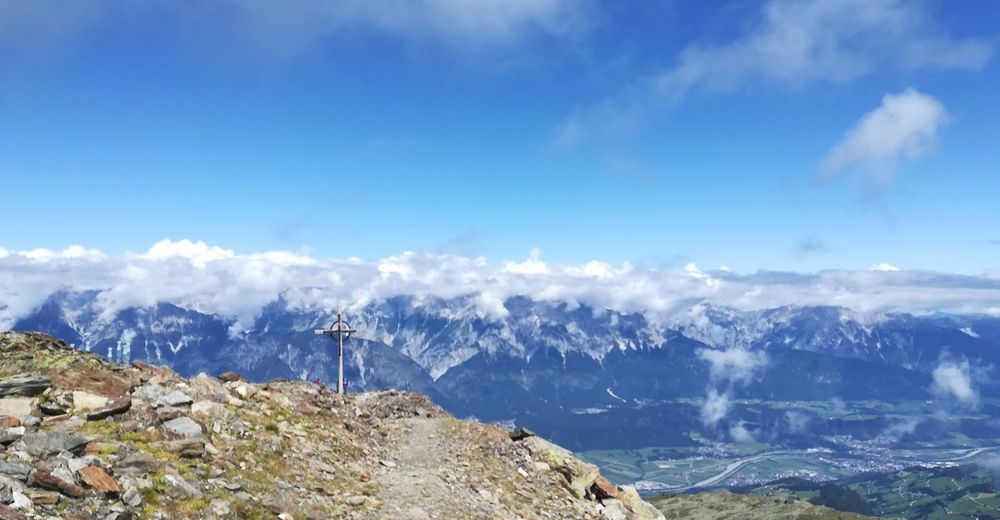
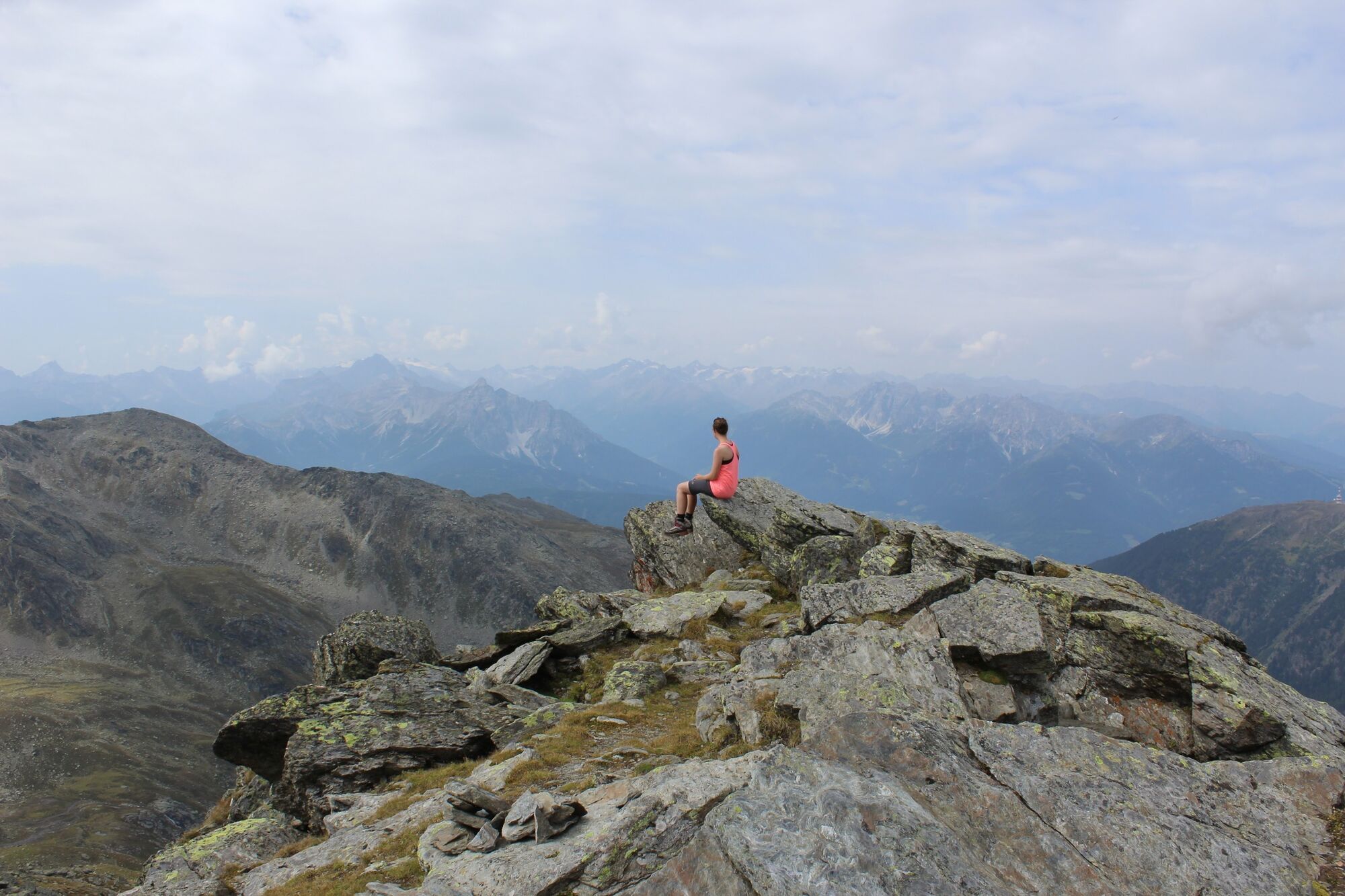
360° panoramic view
- Teškoća
-
srednje
- Vrednovanje
-
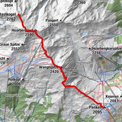
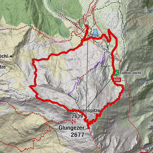
- Wegverlauf
-
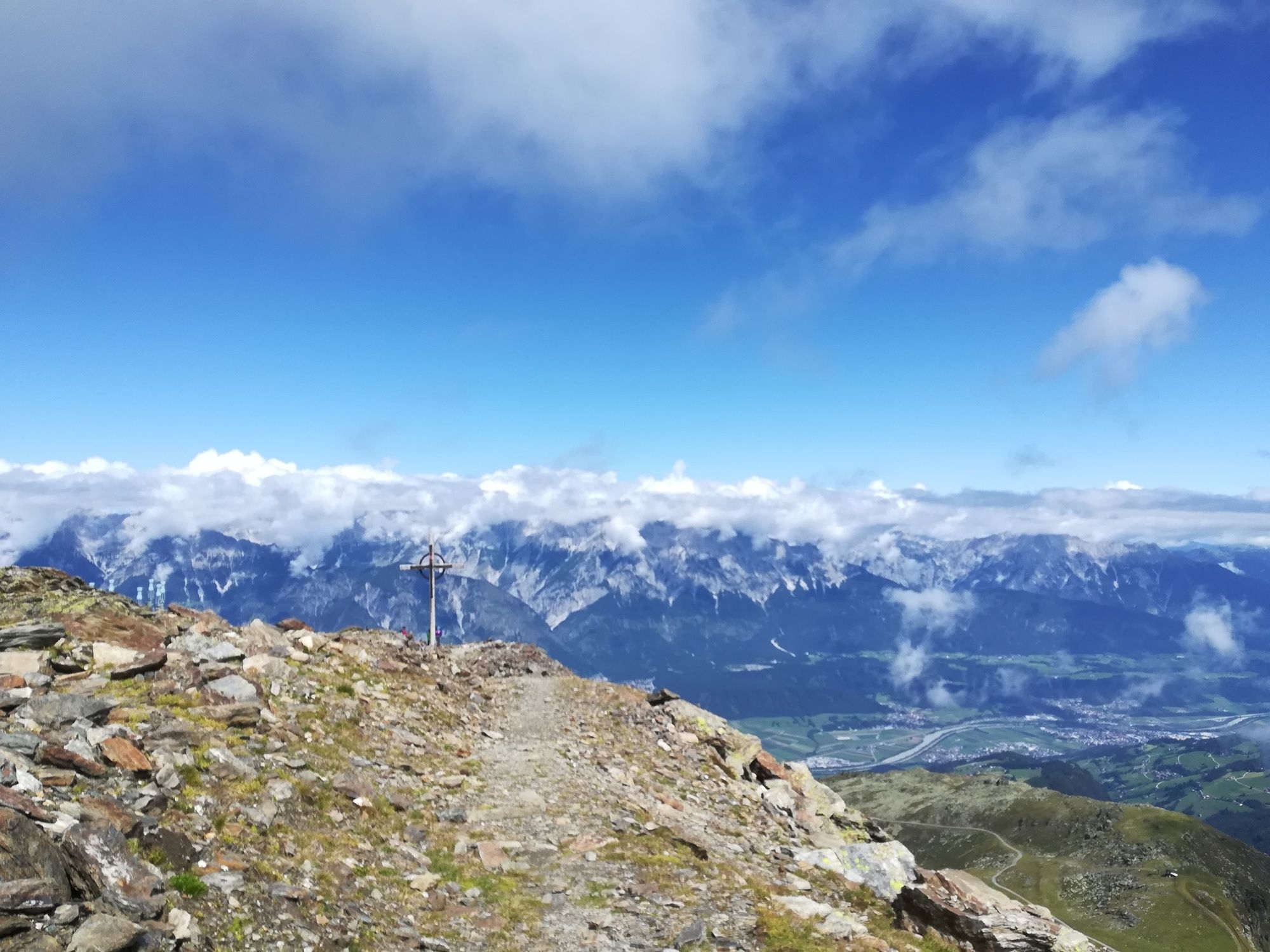
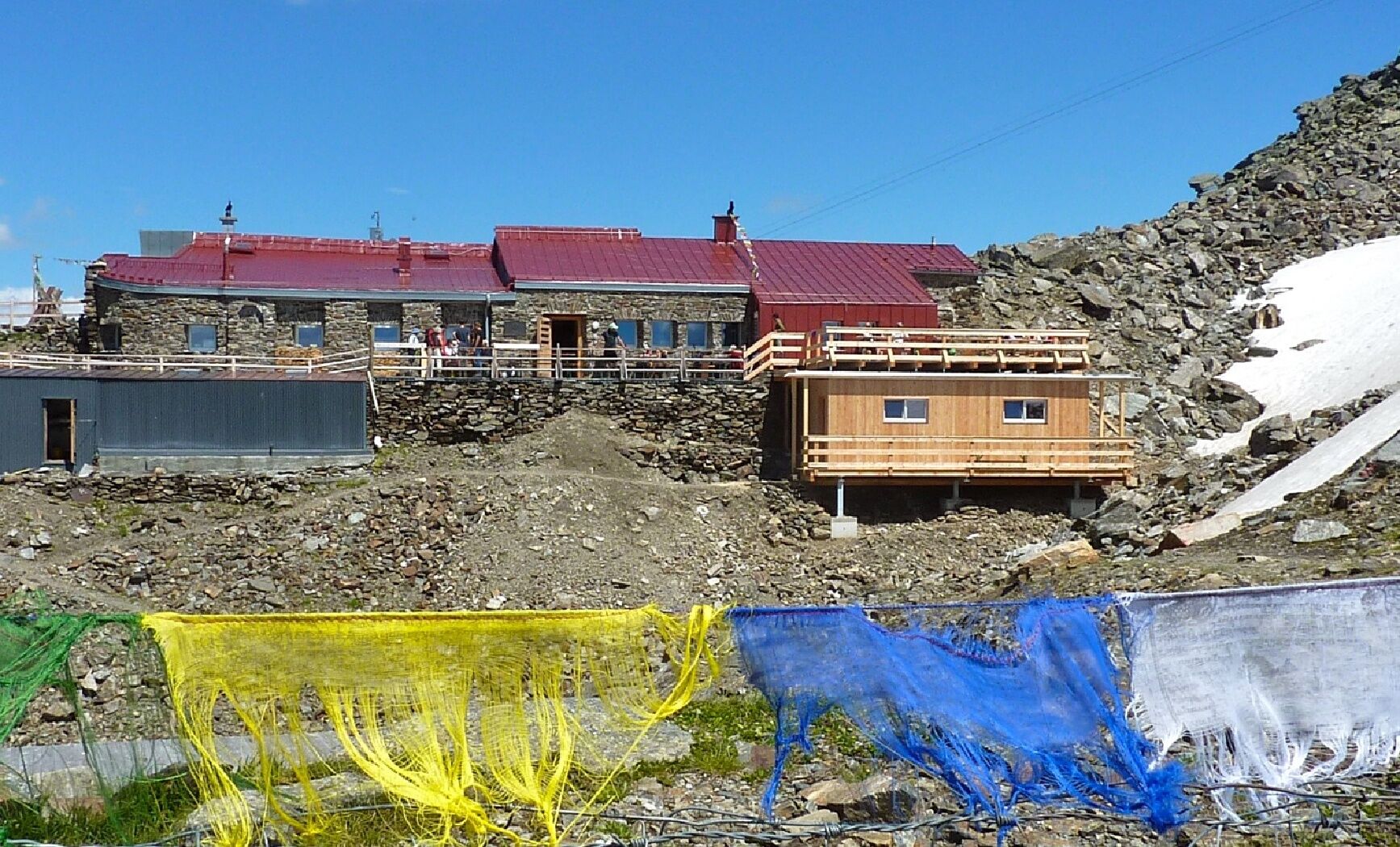
Tulfein AlmSpielplatz Zirbensee0,4 kmGlungezer (2.677 m)3,8 kmGlungezerhütte4,2 kmSonnenspitze (2.639 m)4,5 kmHirschvogel5,8 kmSpielplatz Zirbensee7,2 kmTulfein Alm8,6 km
- Beste Jahreszeit
-
sijveljožutrasvilipsrpkolrujlisstupro
- Höchster Punkt
- 2.666 m
- Zielpunkt
-
Tulfeinalm
- Höhenprofil
-


-

-
AutorDie Tour From the Tulfeinalm to the peak of the Glungezer wird von outdooractive.com bereitgestellt.
GPS Downloads


Opće informacije
Einkehrmöglichkeit
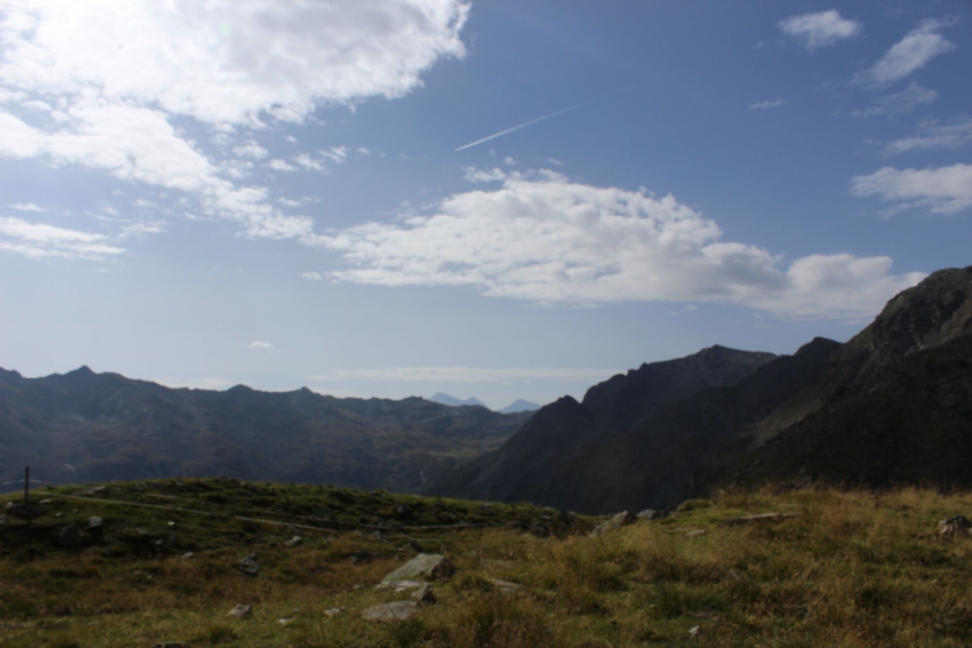
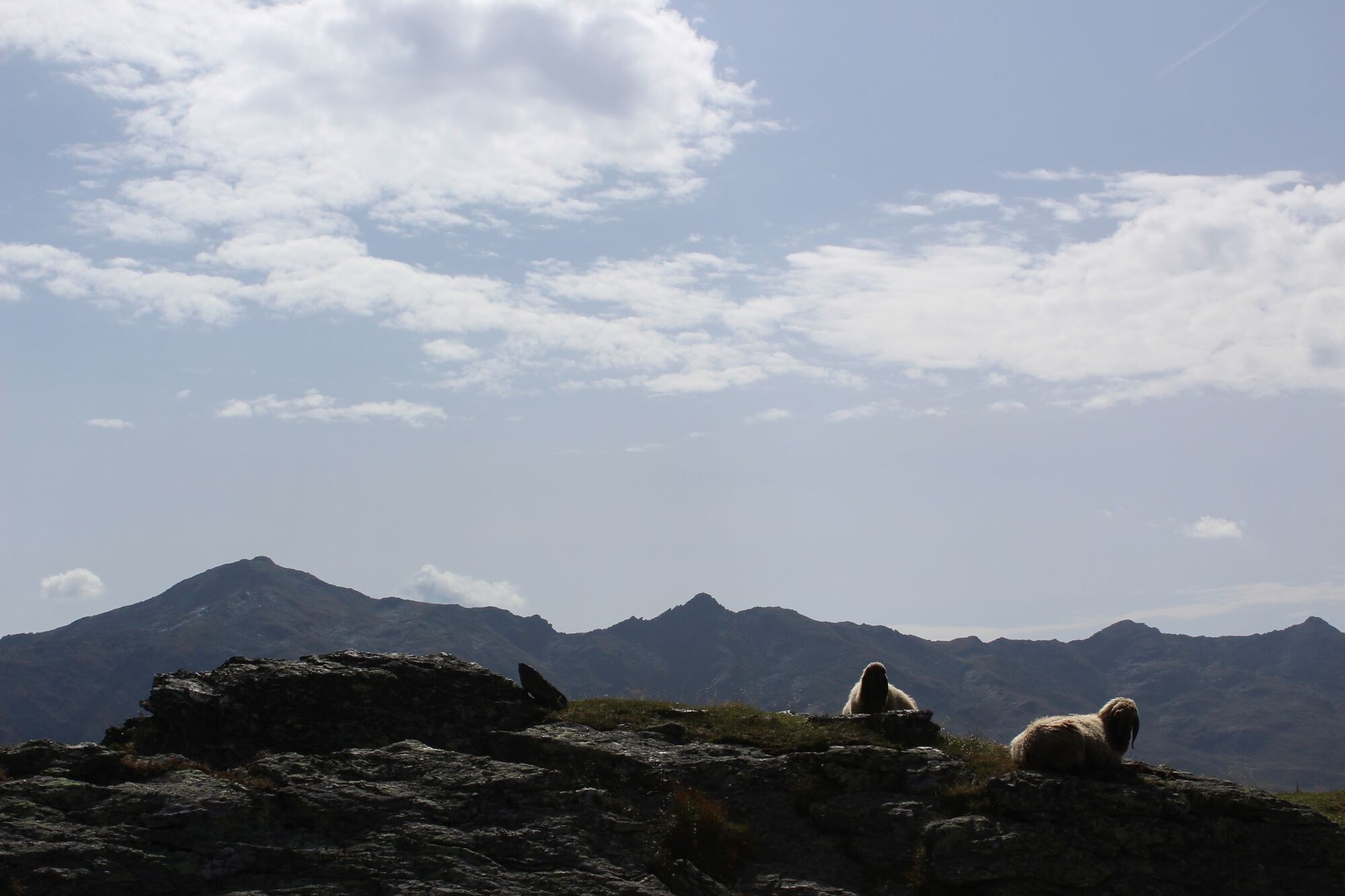
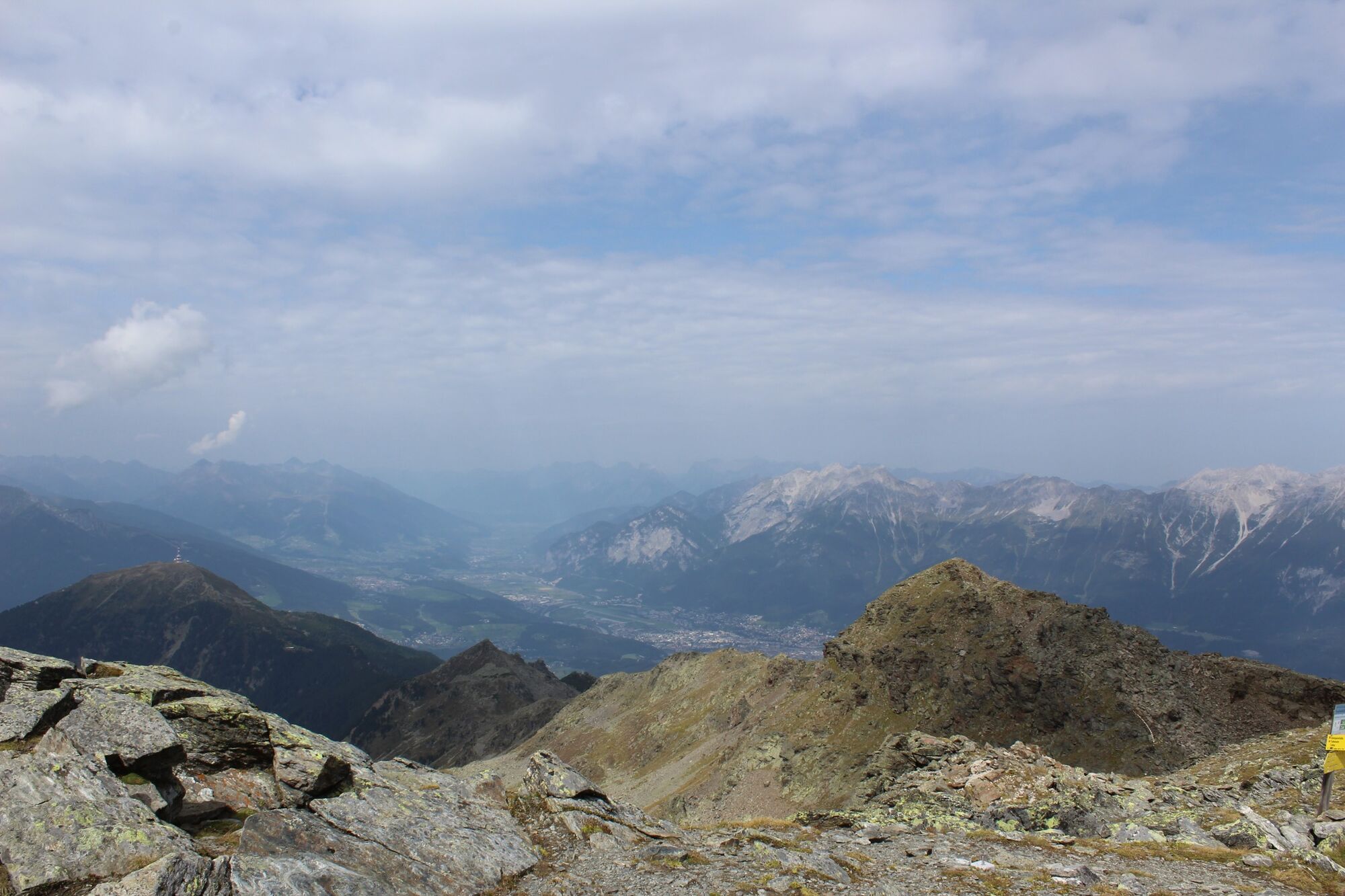
Aussichtsreich
Weitere Touren in den Regionen