


- Kratak opis
-
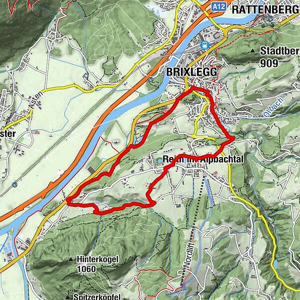
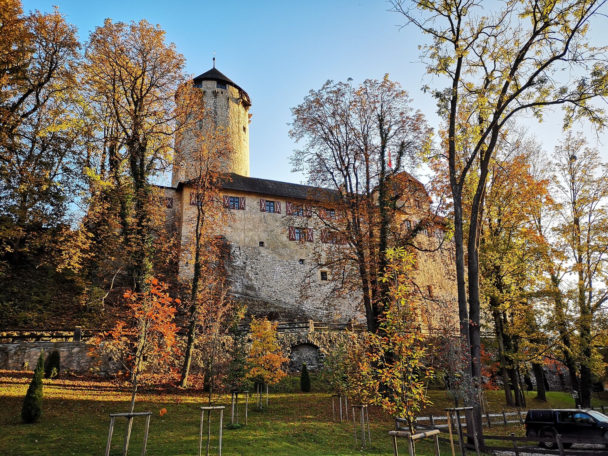
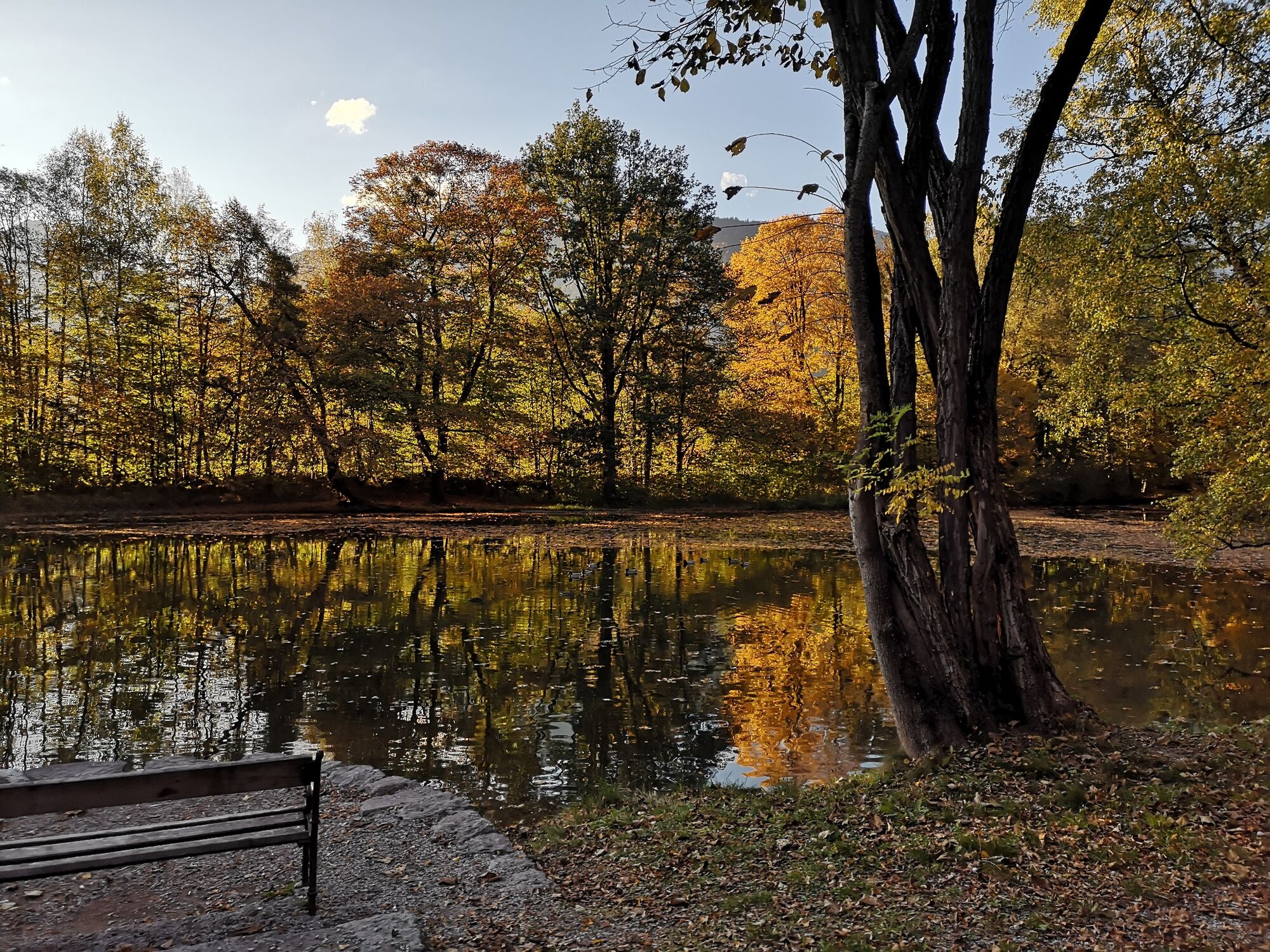
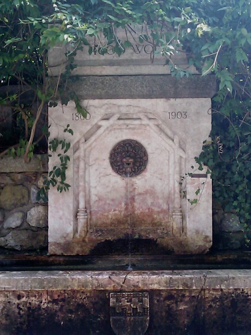
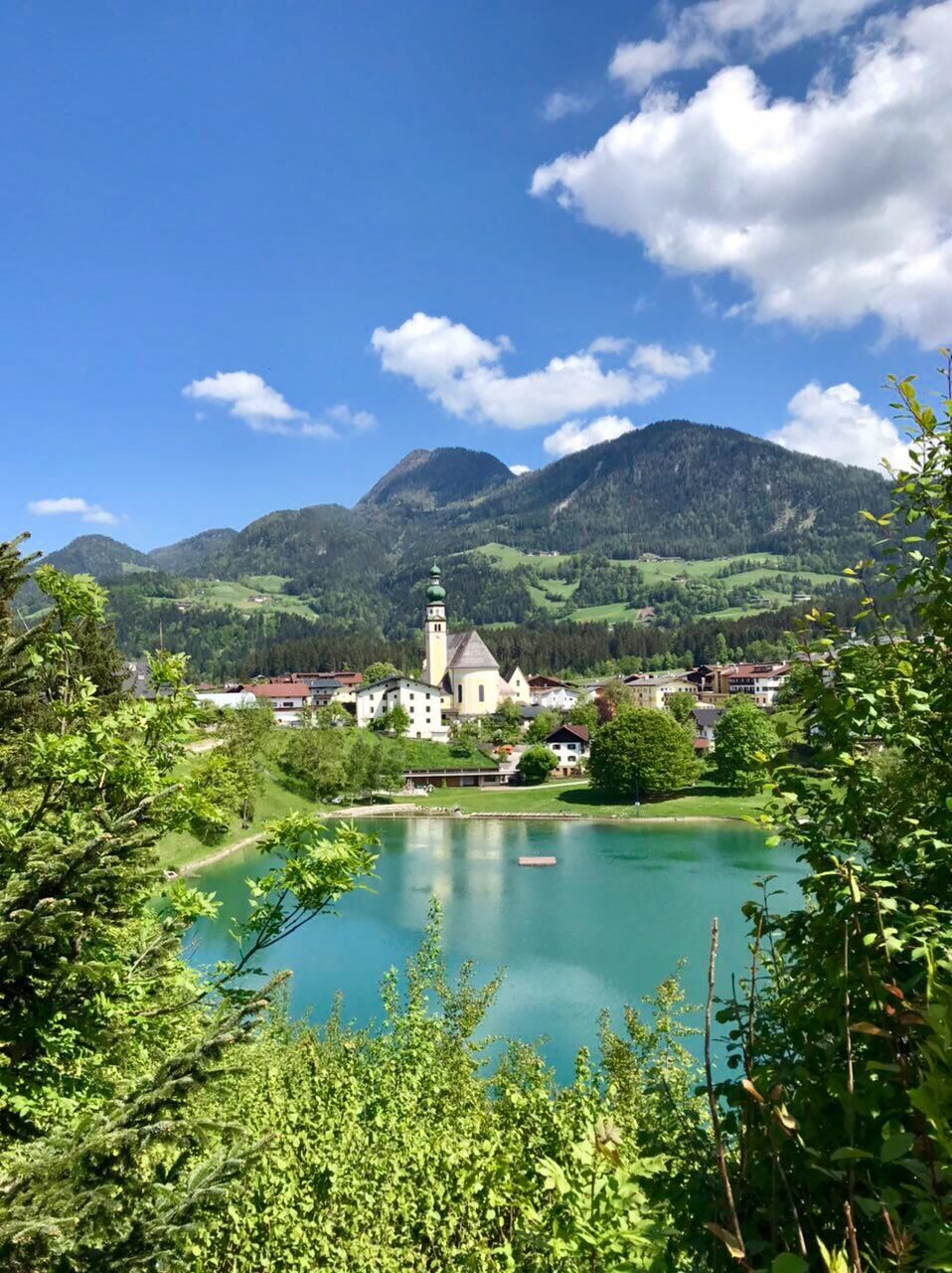
Charming loop trail past lakes, fountains, castles and many other spots with water topics
- Teškoća
-
lagano
- Vrednovanje
-
- Wegverlauf
-
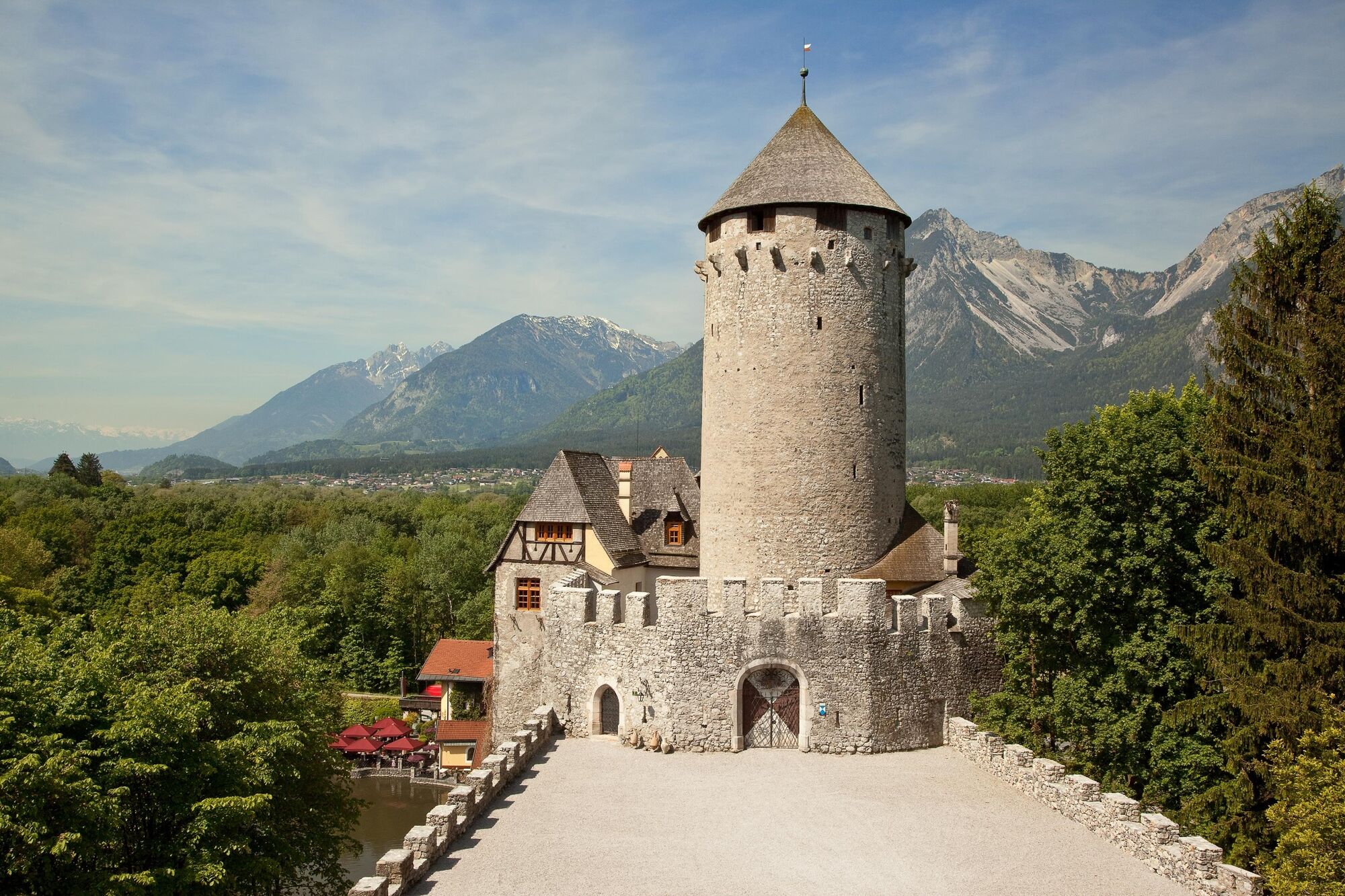
Reith im Alpbachtal (638 m)Dekanatspfarrkirche St. PetrusNeudorf (652 m)0,6 kmRied (689 m)1,1 kmHub Kapelle1,4 kmSankt Gertraudi (527 m)3,2 kmFilialkirche St. Gertraudi3,2 kmGasthaus Kammerlander3,3 kmLichtwerth (529 m)4,6 kmPercha (568 m)5,6 kmWeng (526 m)6,0 kmBrixlegg6,4 kmMehrn (560 m)7,1 kmBischofsbrunn7,9 kmReith im Alpbachtal (638 m)8,4 kmDekanatspfarrkirche St. Petrus8,5 km
- Beste Jahreszeit
-
sijveljožutrasvilipsrpkolrujlisstupro
- Höchster Punkt
- 690 m
- Zielpunkt
-
Reith im Alpbachtal village centre
- Höhenprofil
-


- Autor
-
Die Tour Wasserwanderweg (Water Walk) wird von outdooractive.com bereitgestellt.
GPS Downloads


Opće informacije
Einkehrmöglichkeit
Weitere Touren in den Regionen
-
Alpbachtal
1477
-
Reith im Alpbachtal
507


