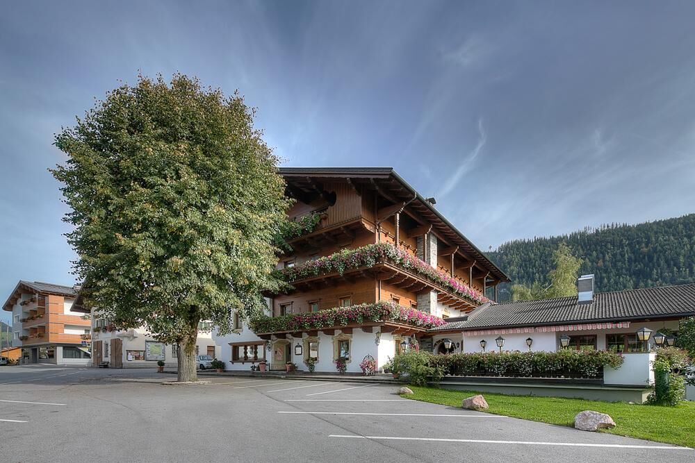
© Alpbachtal - Hannes Sautner Shootandstyle

© Alpbachtal Tourismus | Matthias Sedlak

© Alpbachtal - Hannes Sautner Shootandstyle

© Alpbachtal - Bernhard Berger

© Alpbachtal Tourismus - Gabriele Grießenböck

© Alpbachtal - Bernhard Berger


© Familie Ascher

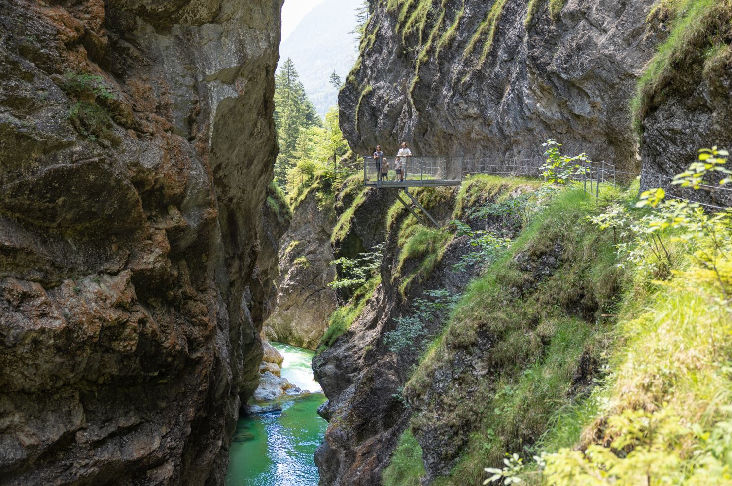
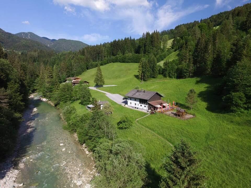
© Jausenstation Tiefenbachklamm

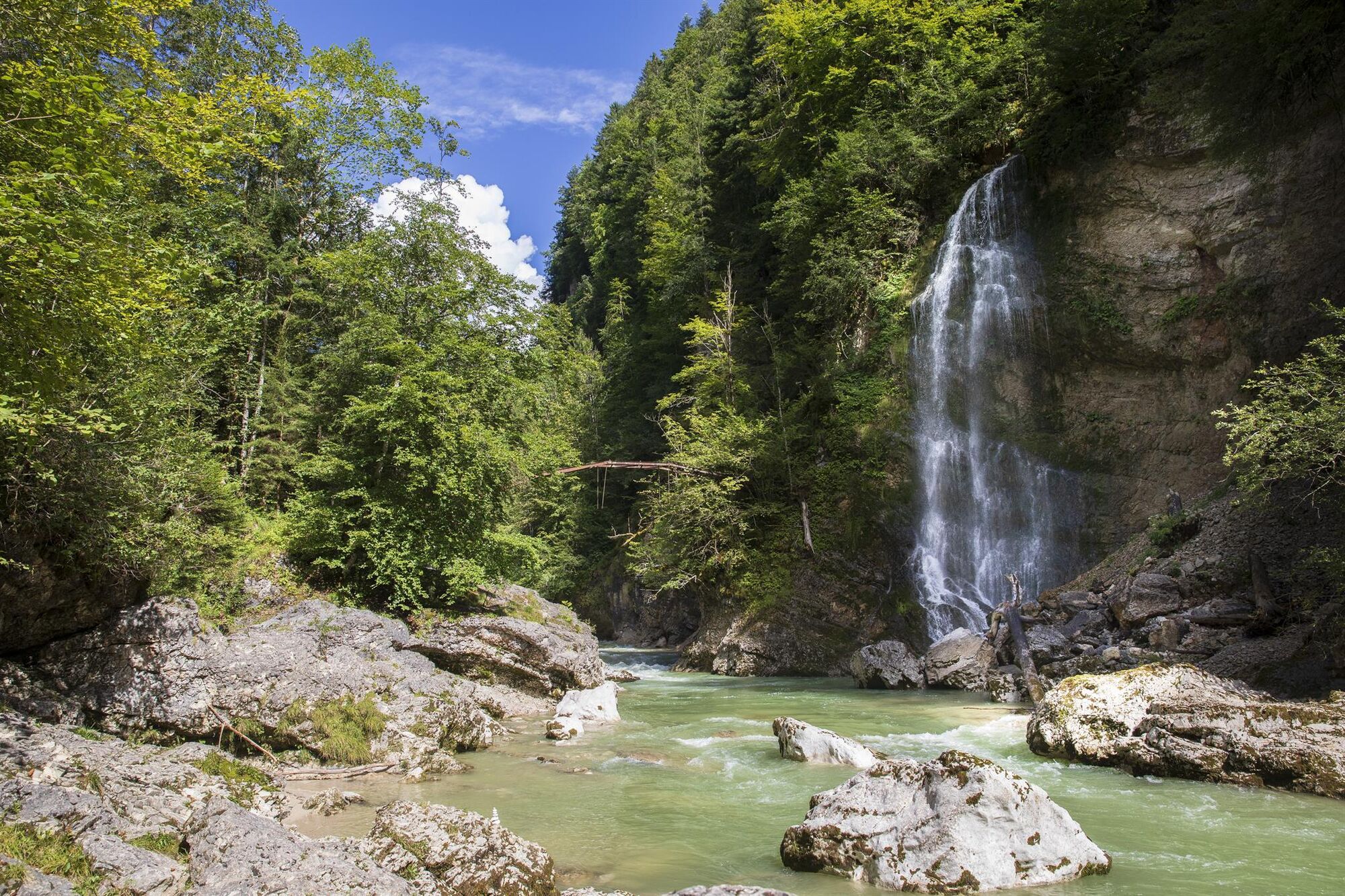
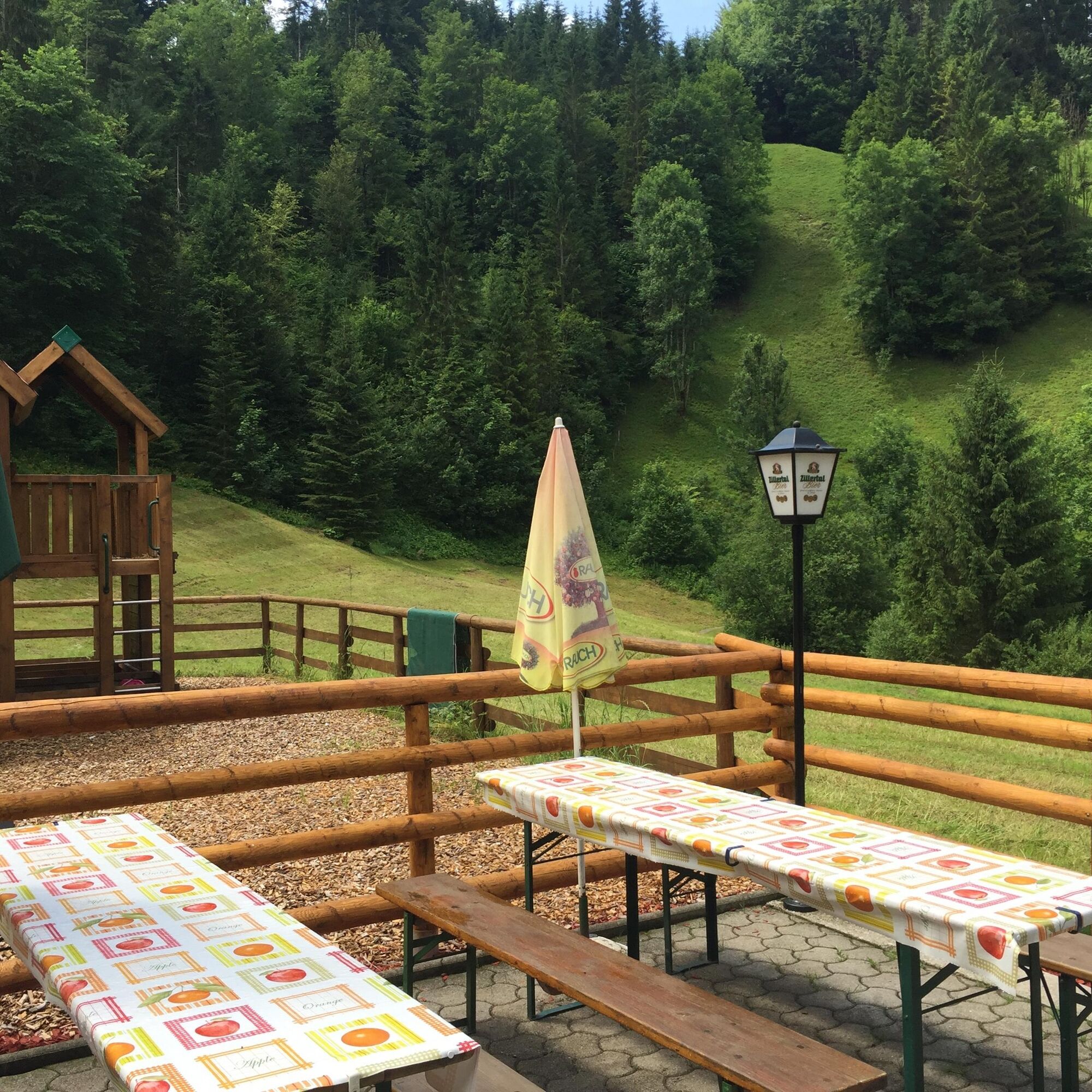
© Jausenstation Tiefenbachklamm

- Kratak opis
-
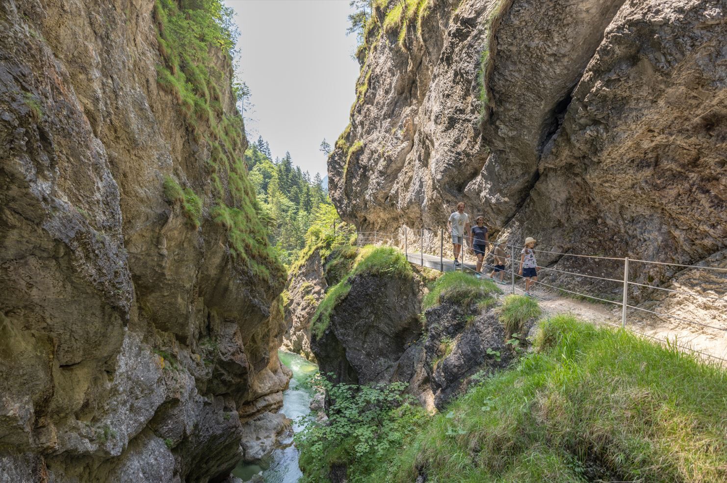
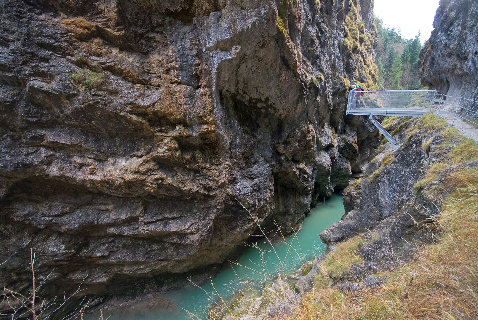
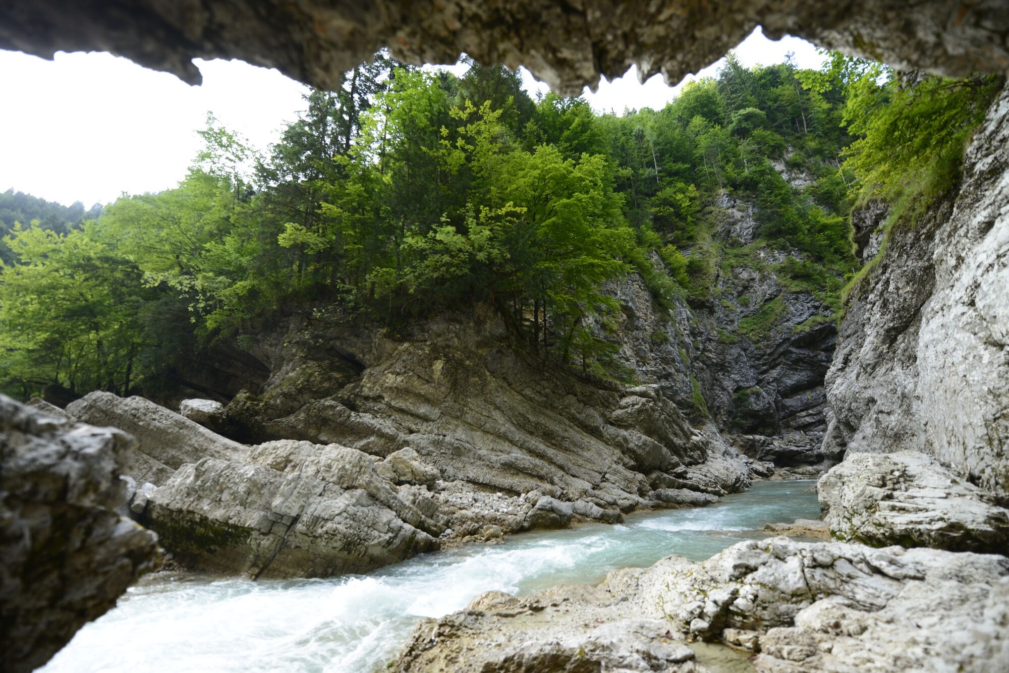
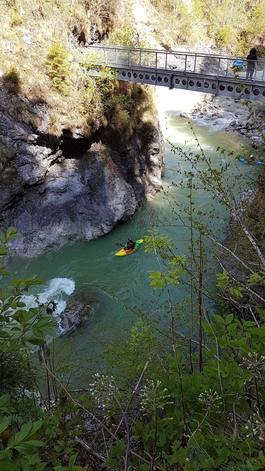
Admire natures water forces on the hike along the Brandenberg Stream. In days long gone by logs used to be transported along the stream.
- Teškoća
-
srednje
- Vrednovanje
-
- Wegverlauf
-
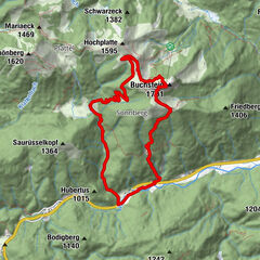
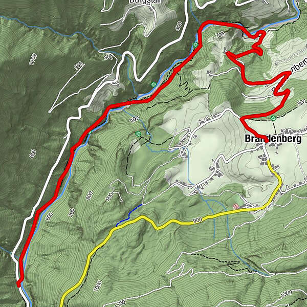
Aussichtsplattform Tiefenbachklamm1,5 kmJausenstation Tiefenbachklamm3,5 kmRinnerschwendt (838 m)5,3 kmBrandenberg6,1 km
- Beste Jahreszeit
-
sijveljožutrasvilipsrpkolrujlisstupro
- Höchster Punkt
- 916 m
- Zielpunkt
-
Brandenberg
- Höhenprofil
-


- Autor
-
Die Tour Discovering the Tiefenbach Gorge Hike wird von outdooractive.com bereitgestellt.
GPS Downloads


Opće informacije
Einkehrmöglichkeit
Geheimtipp
Weitere Touren in den Regionen
-
Alpbachtal
1501
-
Brandenberg
417