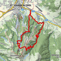
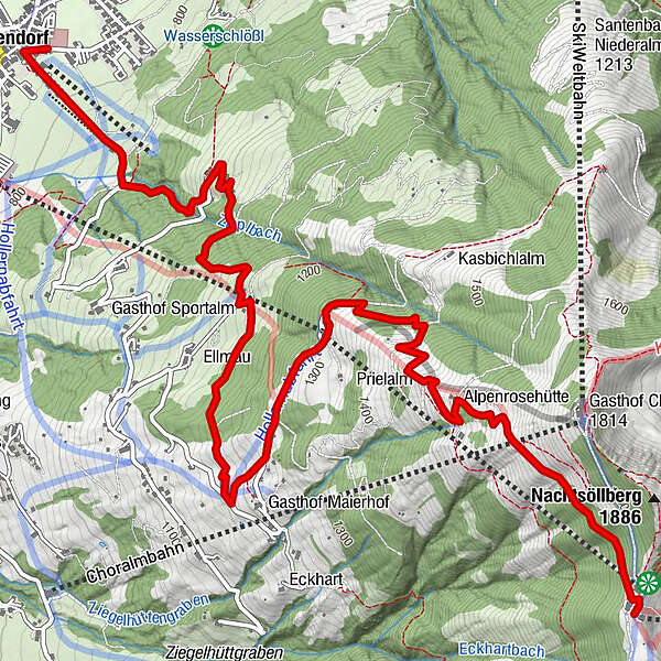
Podaci o ruti
6,8km
784
- 1.751m
948hm
948hm
05:30h
- Kratak opis
-
Gehzeit: ca. 3:30h (Hinweg)
Höhendifferenz: ca. 1.000 Hm - Teškoća
-
srednje
- Vrednovanje
-
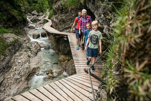
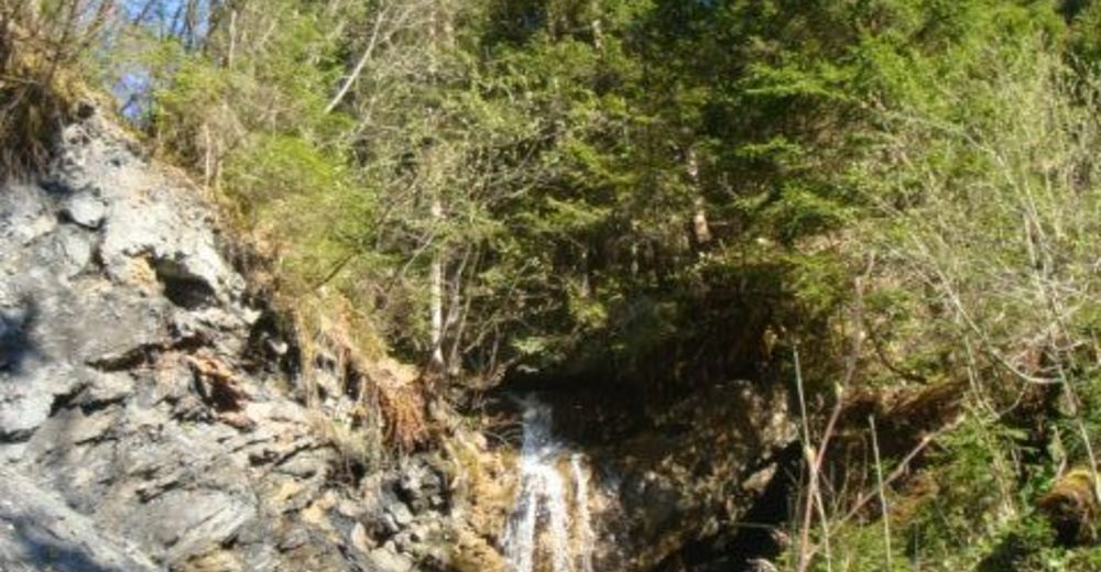
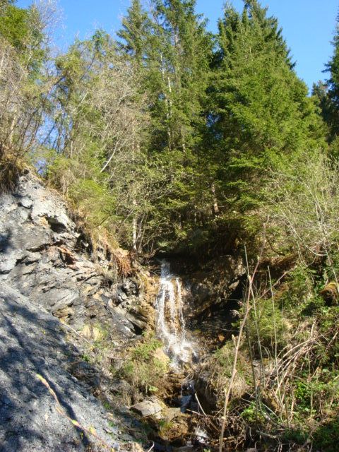
- Wegverlauf
-
Westendorf0,1 kmPfarrkirche zum Heiligen Nikolaus0,1 kmSammerfeld0,5 kmSandfang0,8 kmBerggasthaus Stimmlach3,1 kmAlpenrosenbahn II4,0 kmAlpenrosenbahn I4,1 kmSonnalm4,2 kmAlpenrosenhütte5,5 kmTalkaser6,6 km
- Höchster Punkt
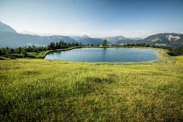
- Bergrestaurant Talkaser (1.751 m)
GPS Downloads


Weitere Touren in den Regionen
-
Kitzbüheler Alpen - Brixental
1763
-
Westendorf
449