

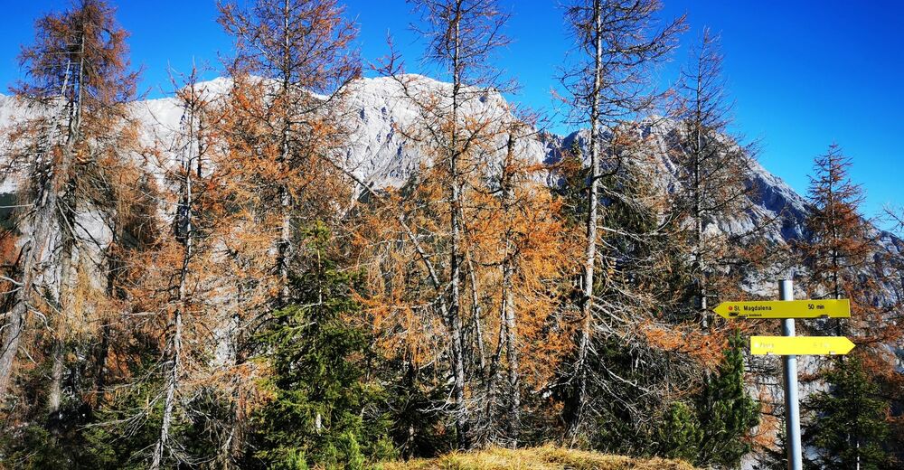
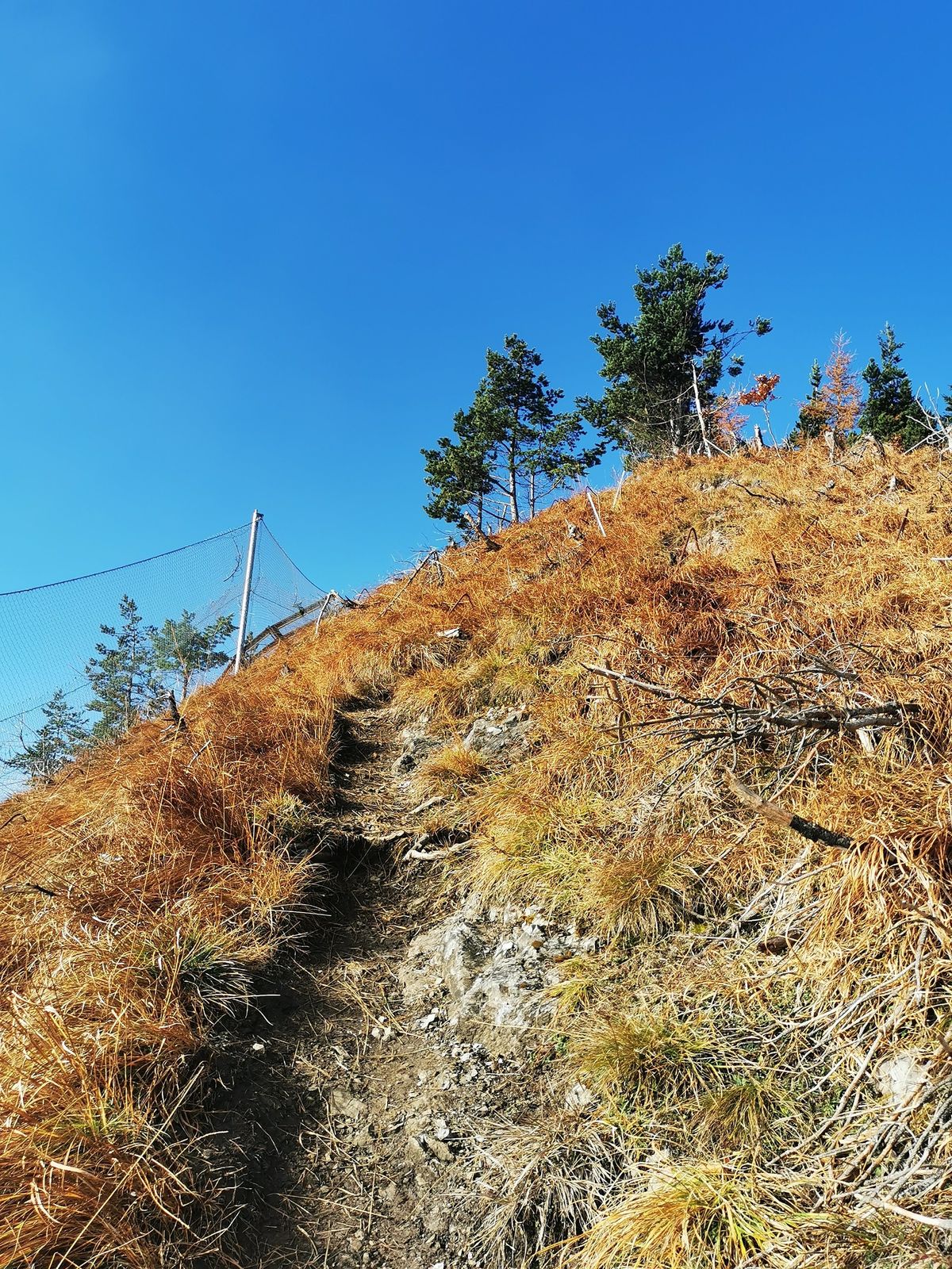
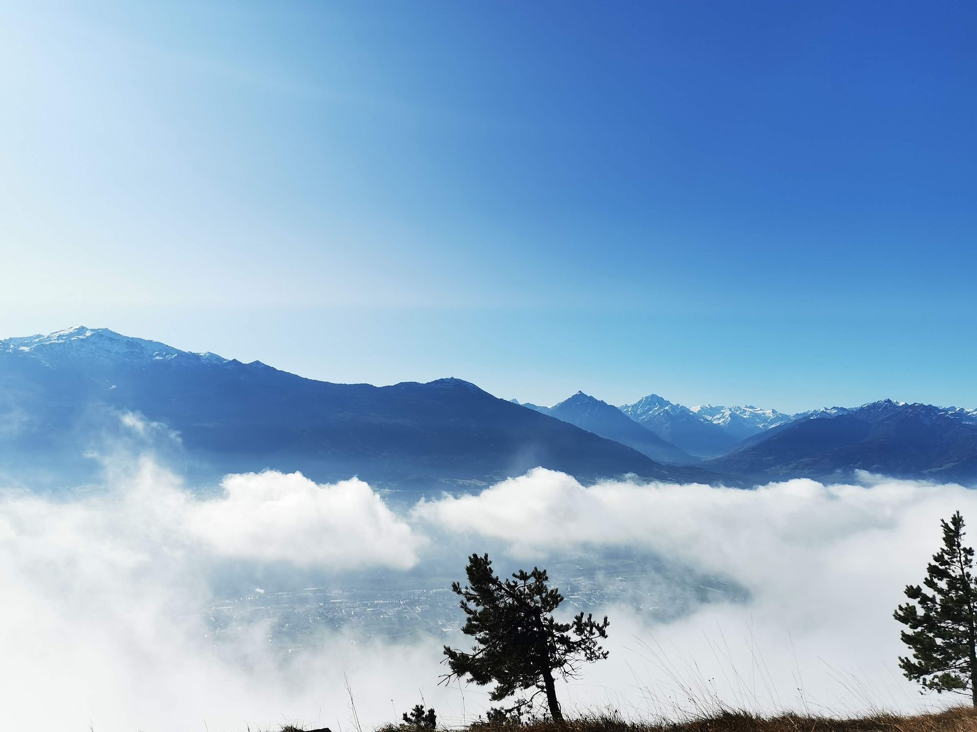
© Tourismusverband Region Hall-Wattens - Anne W.
© Tourismusverband Region Hall-Wattens - Anne W.
© Tourismusverband Region Hall-Wattens - Anne W.
© Tourismusverband Region Hall-Wattens - Anne W.
© Tourismusverband Region Hall-Wattens - Anne W.
© Tourismusverband Region Hall-Wattens - Anne W.
© Tourismusverband Region Hall-Wattens - Anne W.
© Tourismusverband Region Hall-Wattens - Anne W.
© Tourismusverband Region Hall-Wattens - Anne W.
© Tourismusverband Region Hall-Wattens - Anne W.
- Kratak opis
-
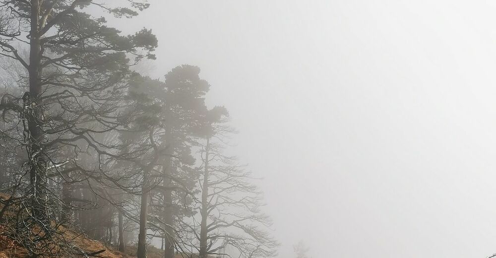
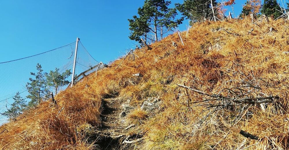
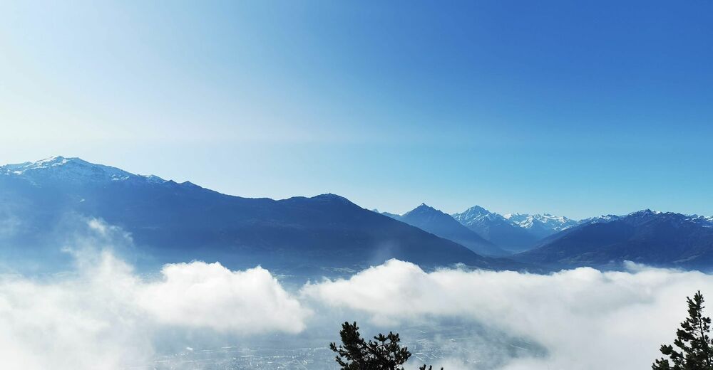
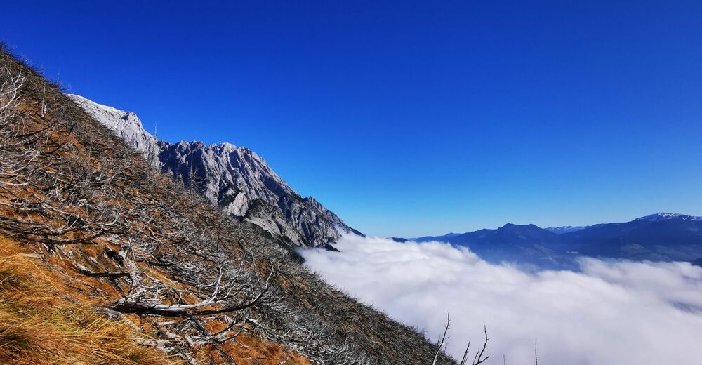
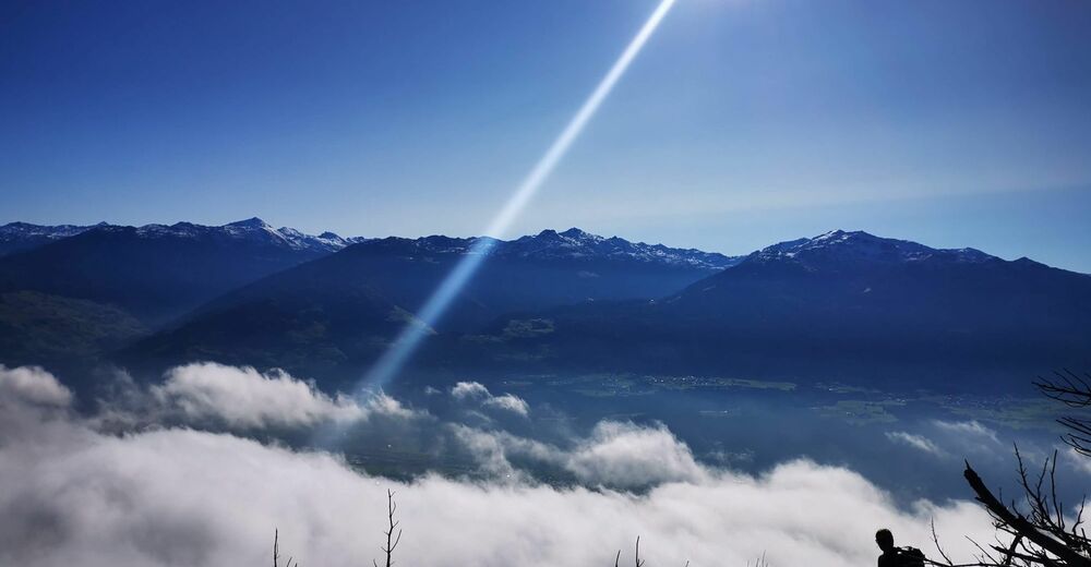
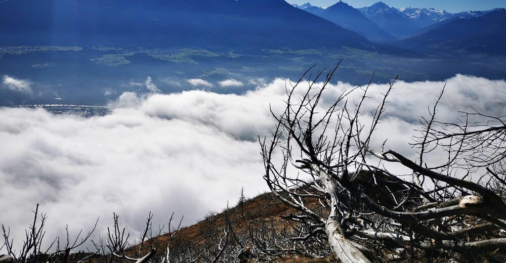
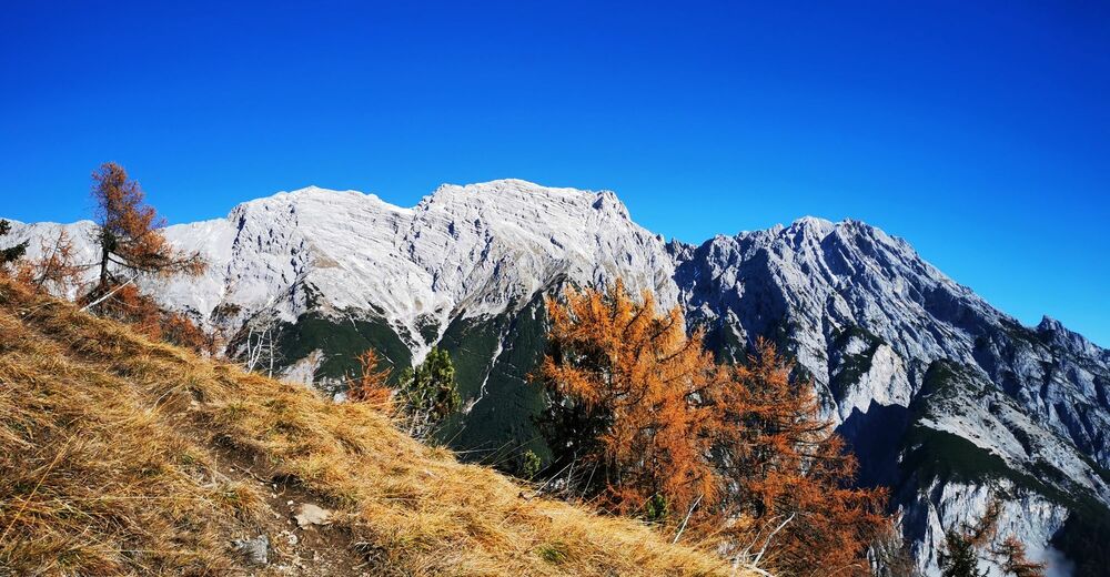
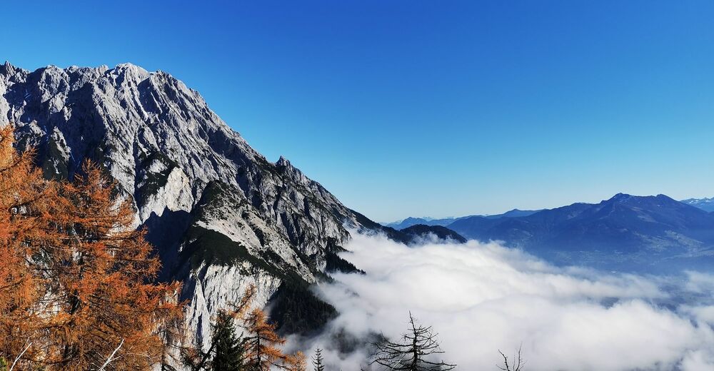
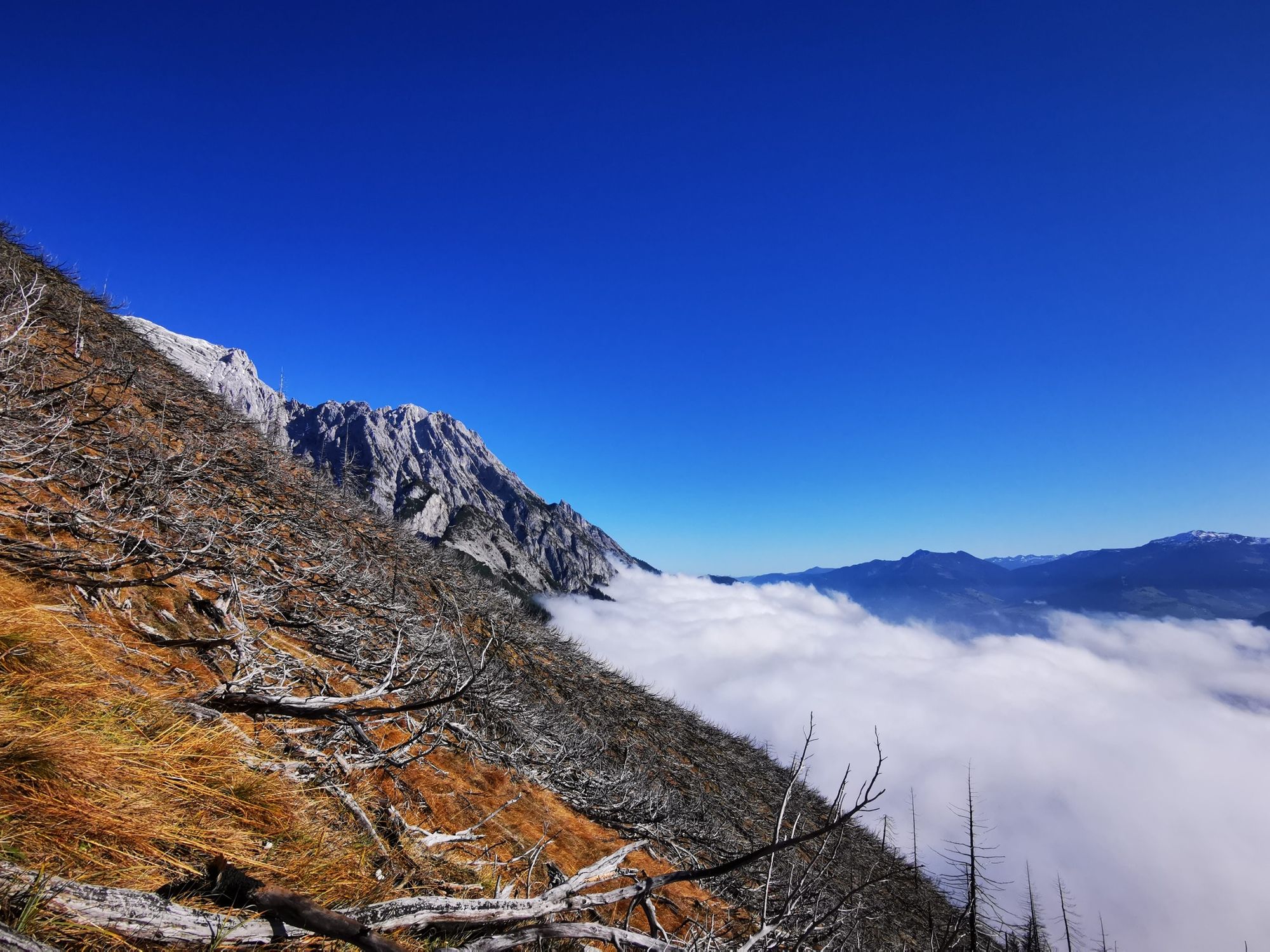
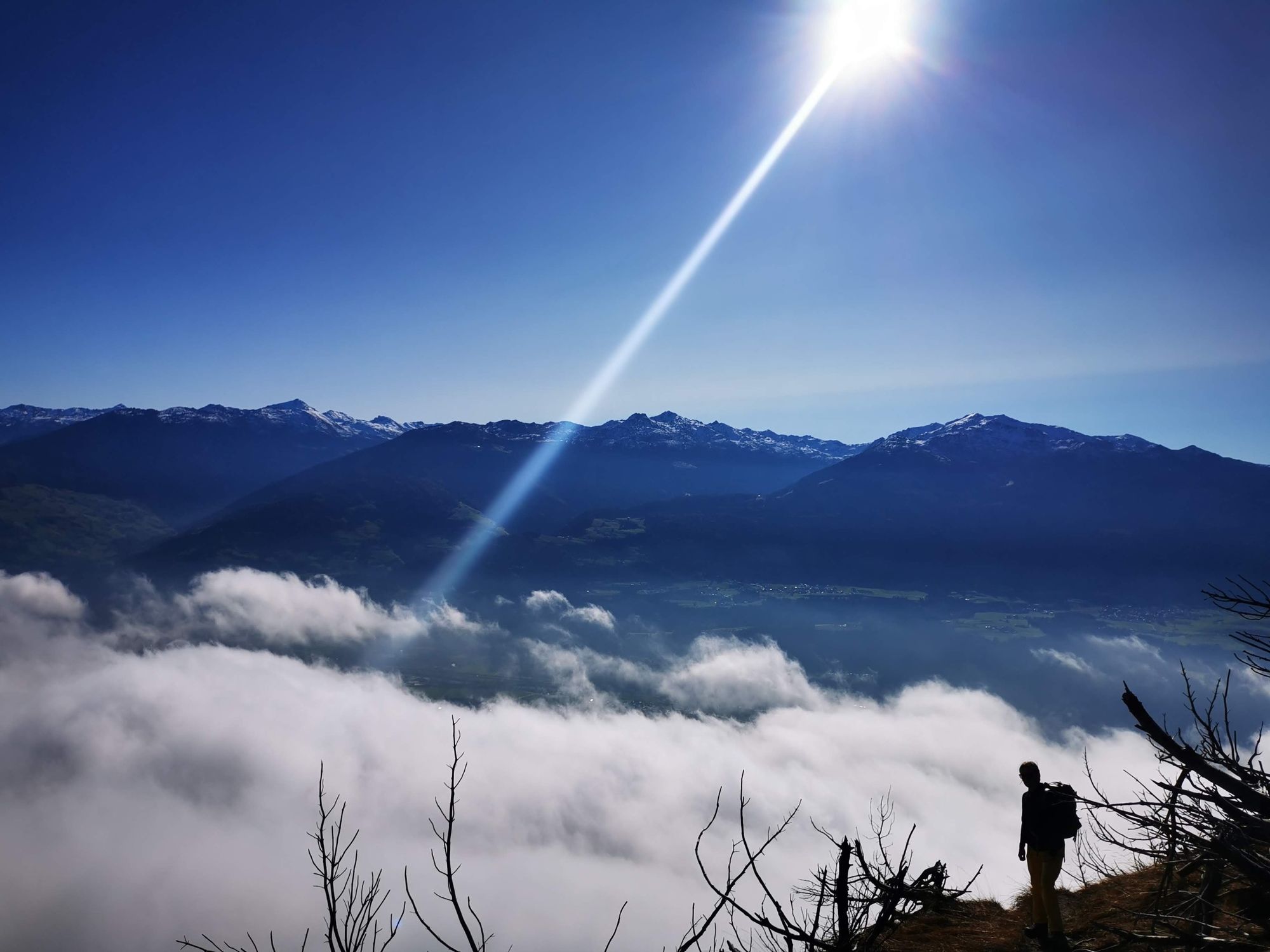
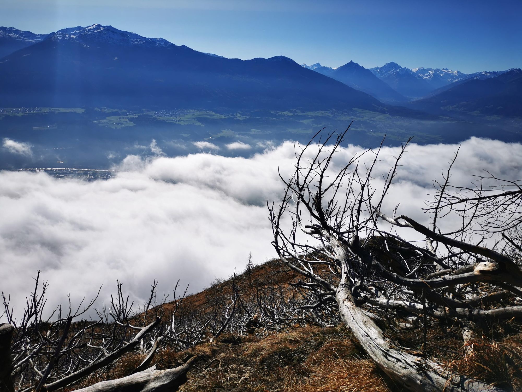
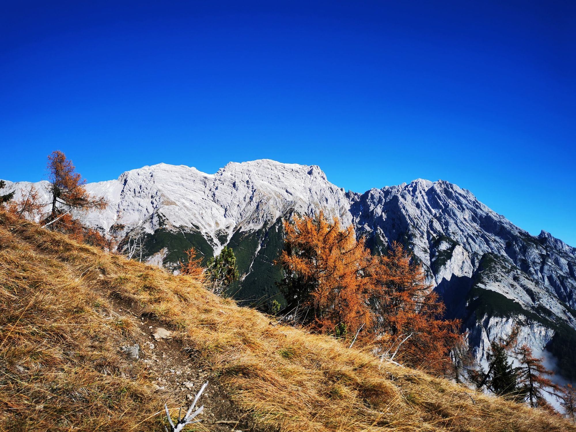
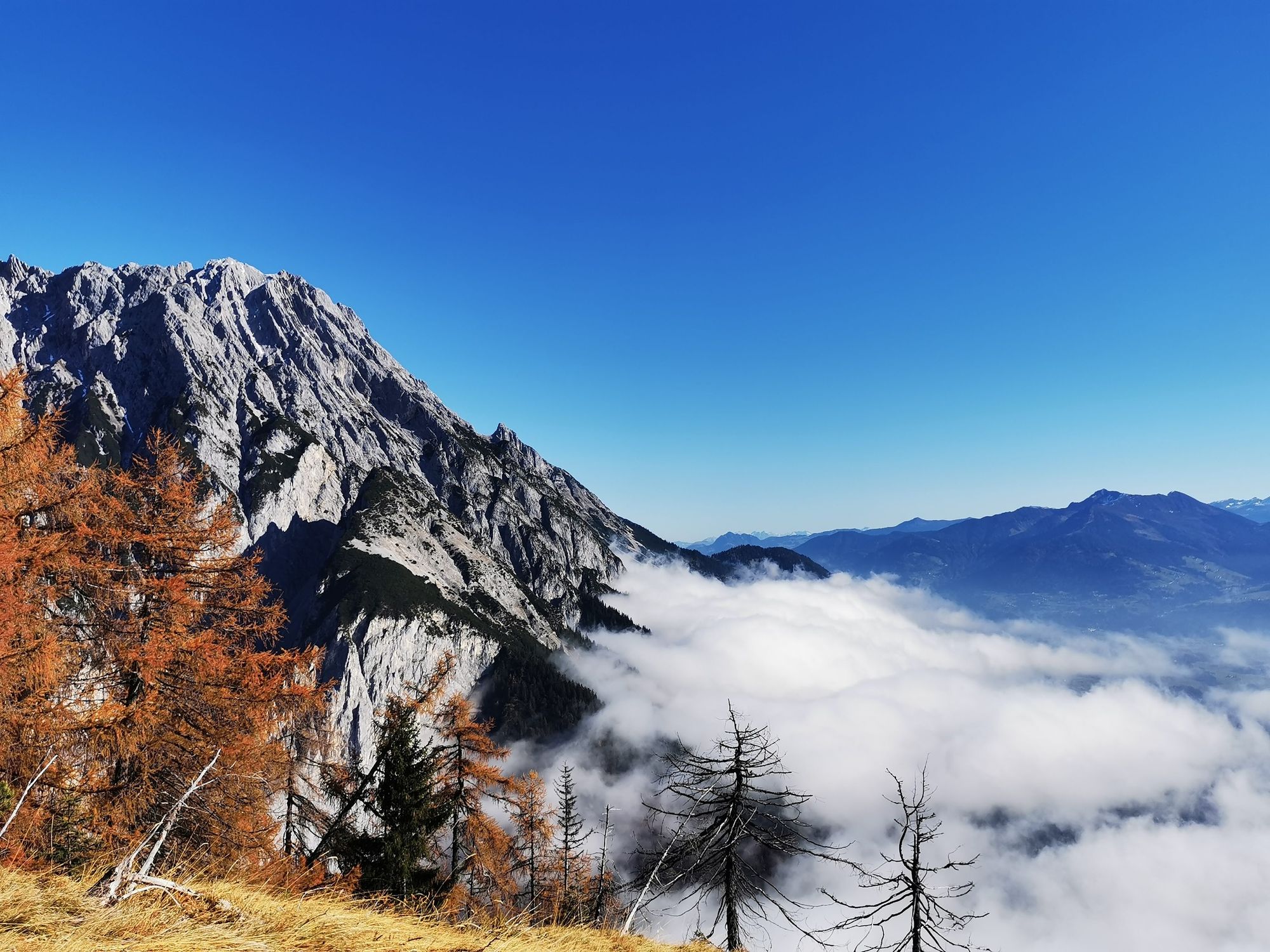
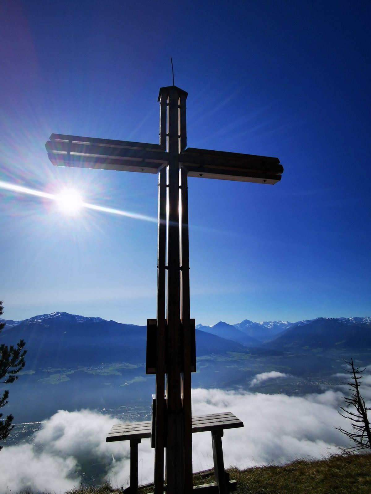
A short hike to the panoramic Hochmahdkopf!
- Teškoća
-
srednje
- Vrednovanje
-
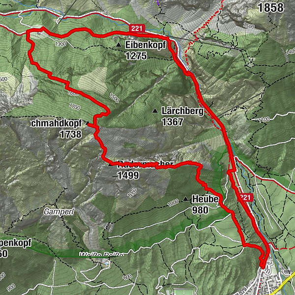
- Wegverlauf
-
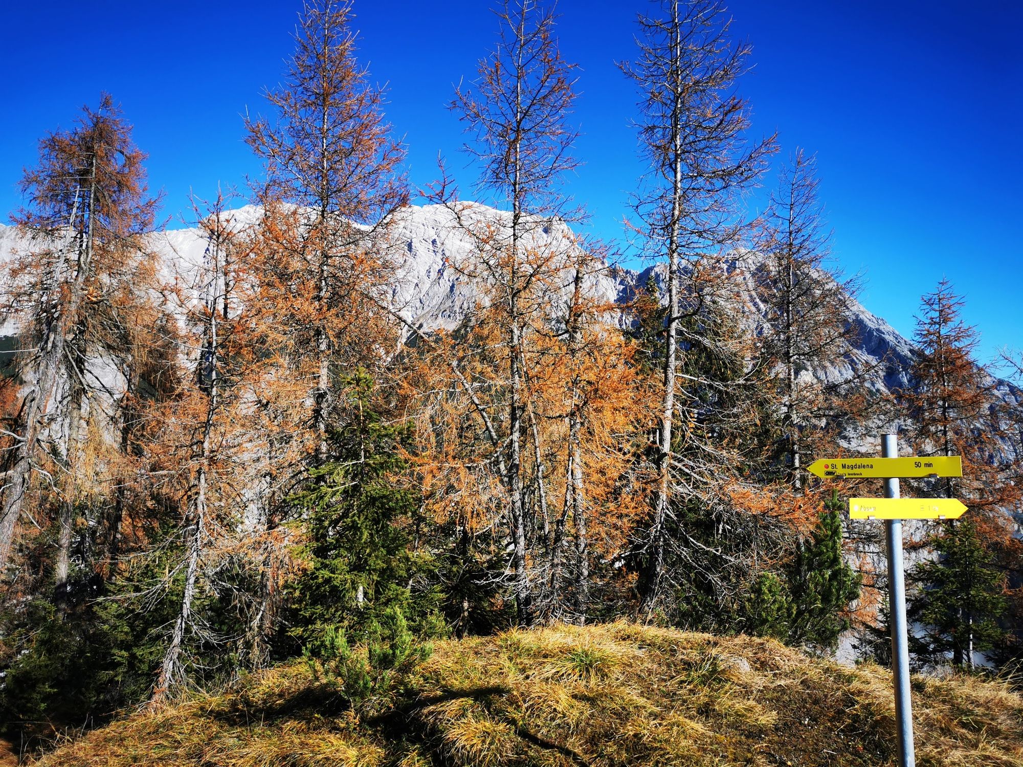
Runstboden1,0 kmPfeiferler2,3 kmRädermacher (1.499 m)2,3 kmHochmahdkopf (1.738 m)2,9 kmJausenstation St. Magdalena (1.287 m)4,6 kmKohlanger4,9 kmJakobibründlquelle5,9 kmBergerkapelle7,0 km
- Beste Jahreszeit
-
sijveljožutrasvilipsrpkolrujlisstupro
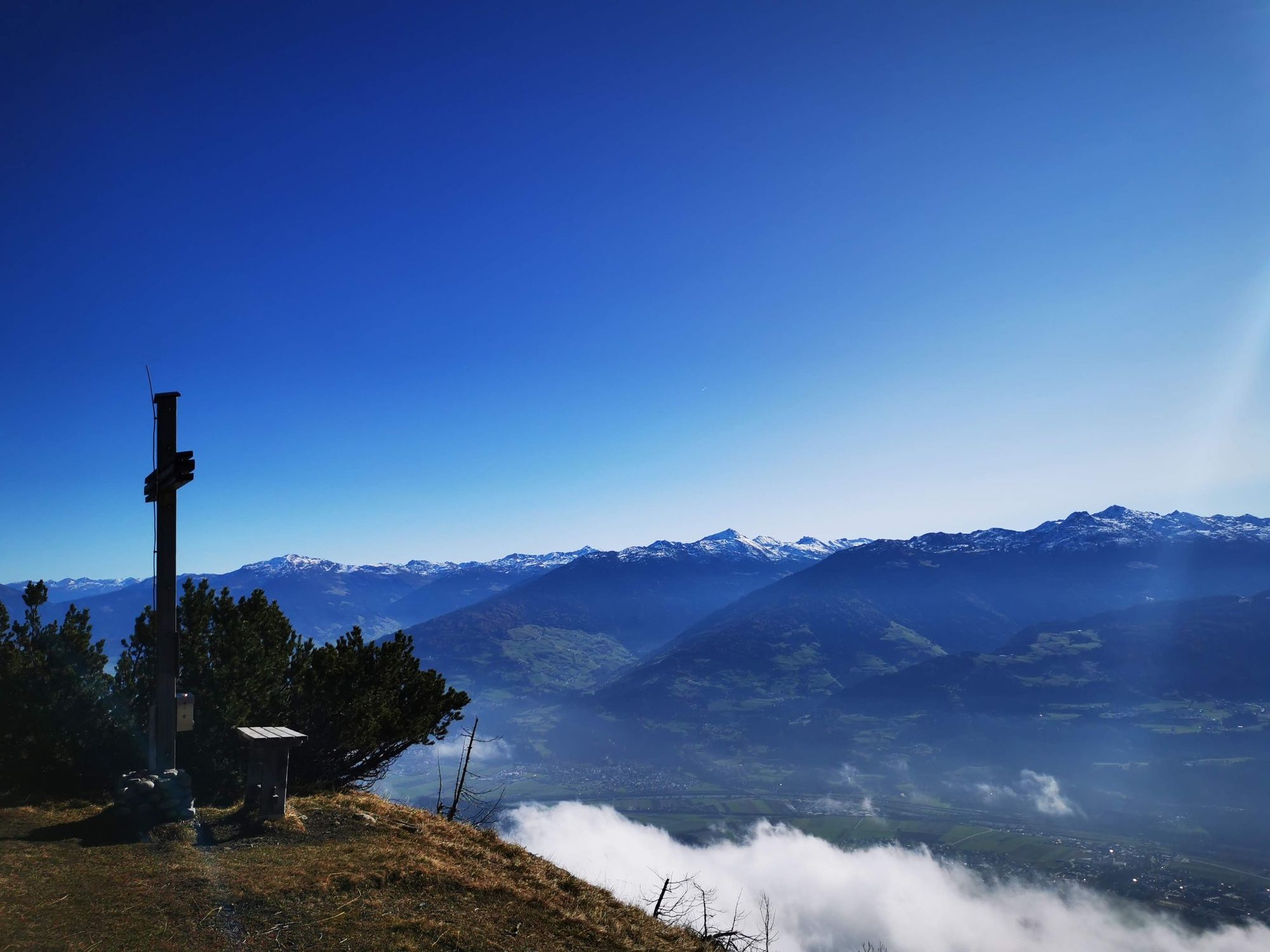
- Höchster Punkt
- 1.716 m
- Zielpunkt
-
Absam Halltal
- Höhenprofil
-


-

-
AutorDie Tour On the panoramic Hochmahdkopf wird von outdooractive.com bereitgestellt.
GPS Downloads


Opće informacije
Einkehrmöglichkeit
Geheimtipp
Aussichtsreich
Weitere Touren in den Regionen
-
Ferienregion Hall - Wattens
1492
-
Absam
347


