© TVB Kufsteinerland - Sportalpen Marketing

© TVB Kufsteinerland - Sportalpen Marketing

- Kratak opis
-
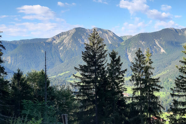
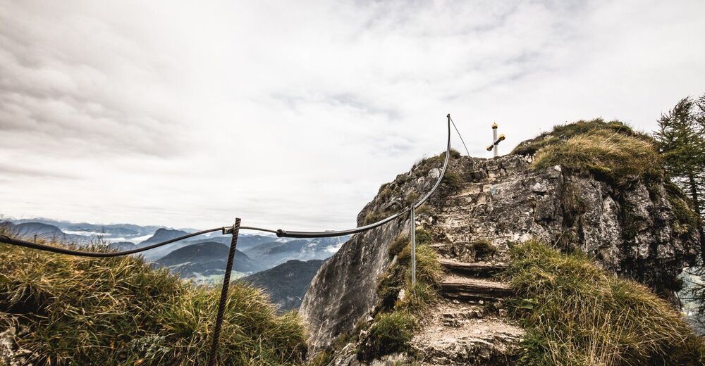
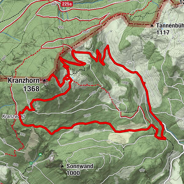
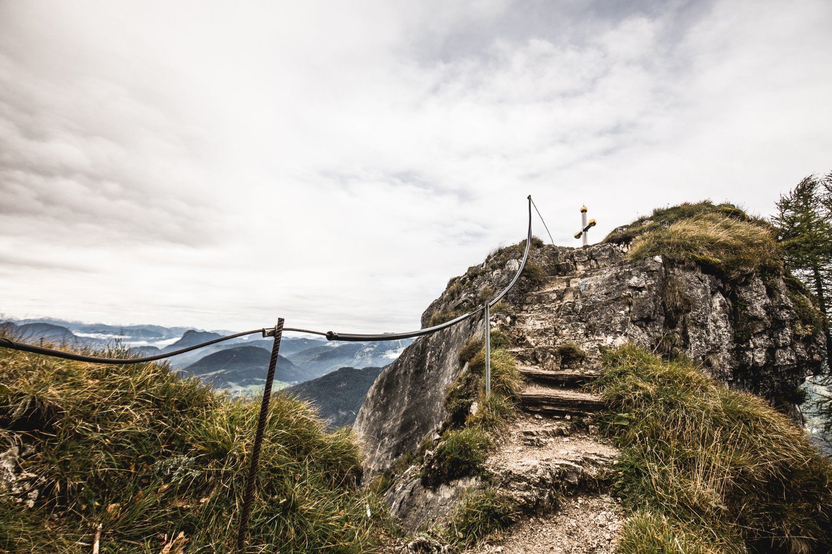
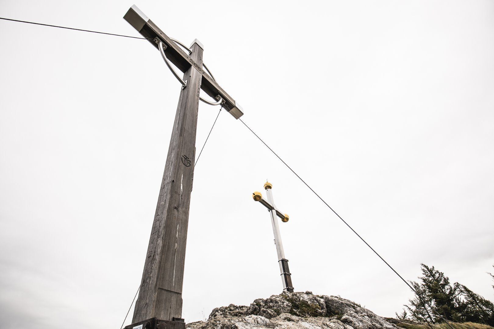
Varied mountain hike with wonderful views of the Chiemgau Alps and the Kaiser Mountains. The German/Austrian border runs over the Kranzhorn summit, which is why the climb is (unusually) rewarded with two peak crosses. The rustic Kranzhornalm is popular with climbers.
- Teškoća
-
srednje
- Vrednovanje
-
- Wegverlauf
-
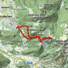
Hintermoar-Alm0,4 kmKranzhorn Alm3,5 kmKranzhorn (1.368 m)4,0 km
- Beste Jahreszeit
-
sijveljožutrasvilipsrpkolrujlisstupro
- Höchster Punkt
- 1.357 m
- Zielpunkt
-
summit Kranzhorn
- Höhenprofil
-

- Autor
-
Die Tour Kranzhorn Erl wird von outdooractive.com bereitgestellt.
GPS Downloads


Weitere Touren in den Regionen
-
Kufsteinerland
2116
-
Erl
662