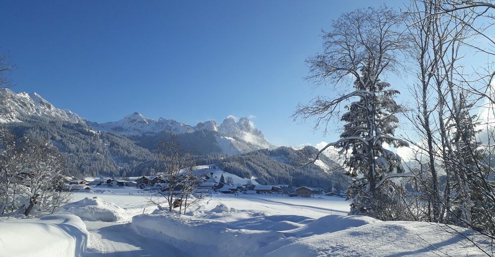
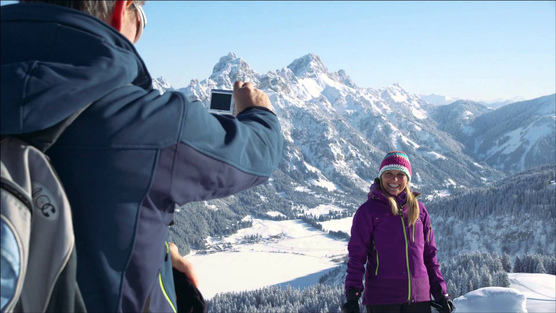
© Tannheimer Tal - Anita Bernhard
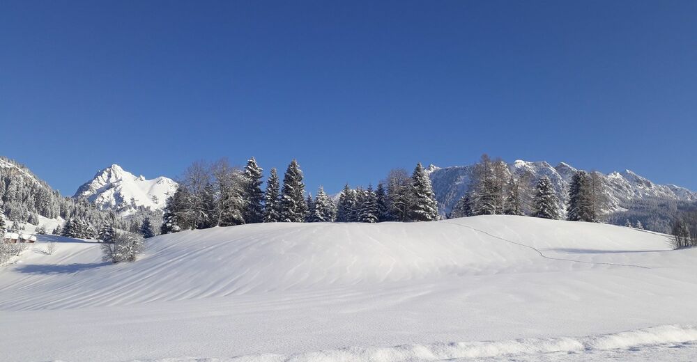
© Tannheimer Tal - Anita Bernhard

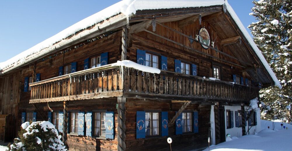
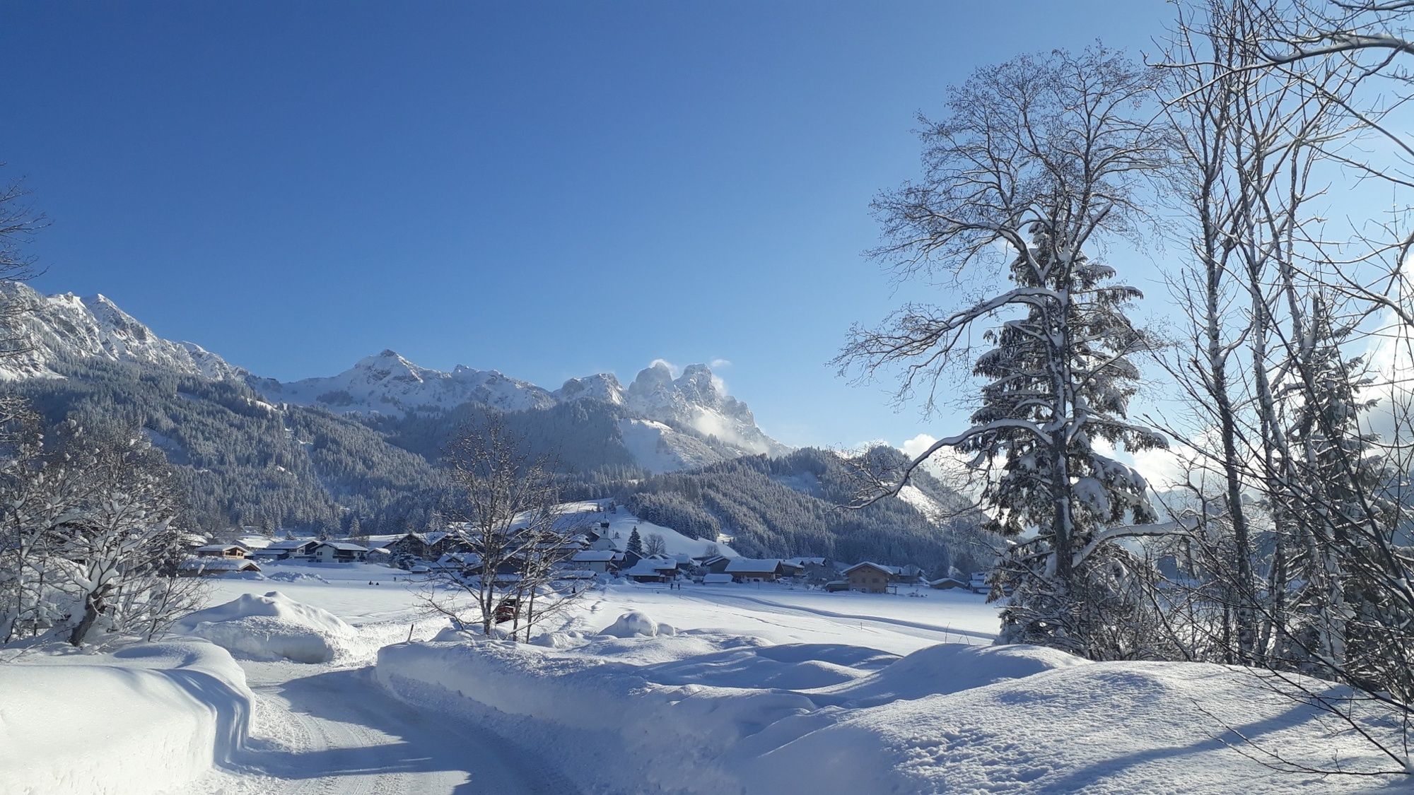
© Ferienregion Tannheimer Tal
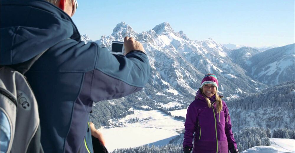
© Tannheimer Tal - Anita Bernhard

© Ferienregion Tannheimer Tal
© Tannheimer Tal - Anita Bernhard
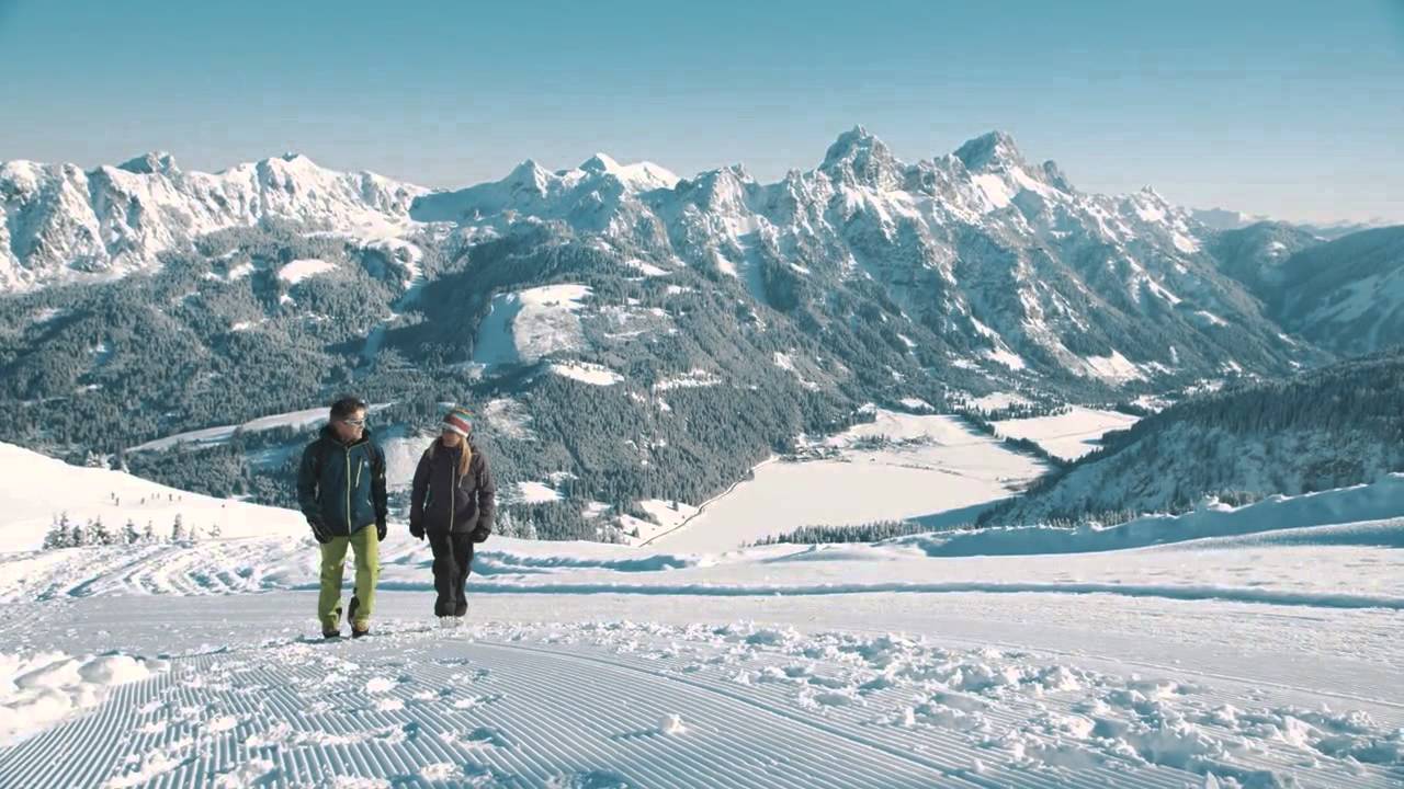
© Tannheimer Tal - kUNO
© Ferienregion Tannheimer Tal
© Ferienregion Tannheimer Tal
- Kratak opis
-
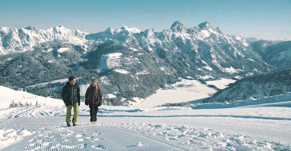
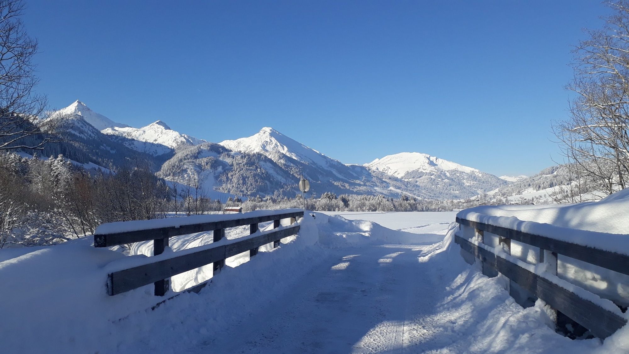
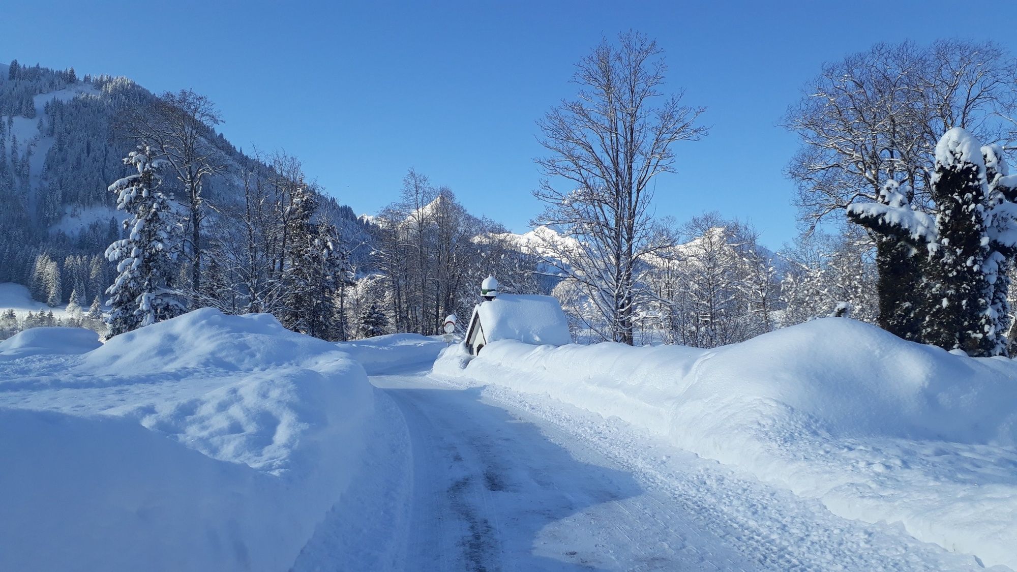
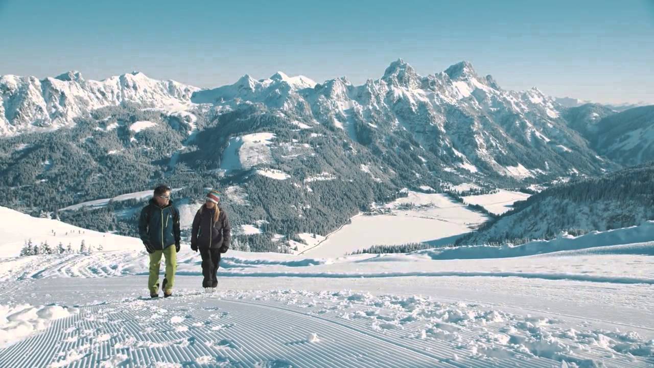
A nice and comfortable tour for the whole family.
- Teškoća
-
lagano
- Vrednovanje
-
- Wegverlauf
-
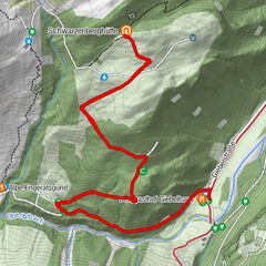
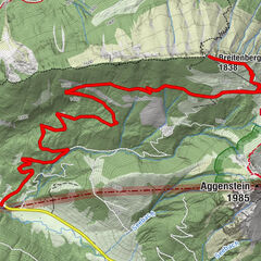
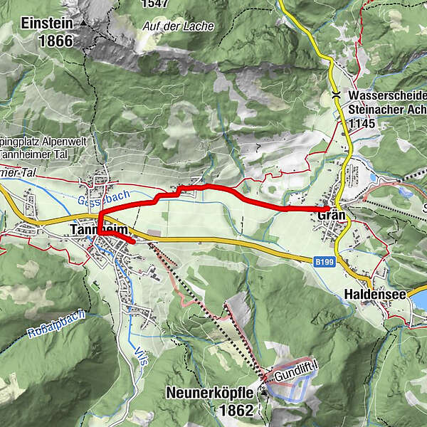
St. Nikolaus0,2 kmTannheim (1.097 m)0,4 kmSt. Martin1,6 kmInnergschwend1,7 kmGrän (1.138 m)3,6 kmInnergschwend5,4 kmSt. Martin5,6 kmTannheim (1.097 m)6,6 kmSt. Nikolaus6,8 km
- Beste Jahreszeit
-
kolrujlisstuprosijveljožutrasvilipsrp
- Höchster Punkt
- 1.128 m
- Zielpunkt
-
Tannheim local centre
- Höhenprofil
-


- Autor
-
Die Tour Tannheim - Grän wird von outdooractive.com bereitgestellt.
GPS Downloads


Opće informacije
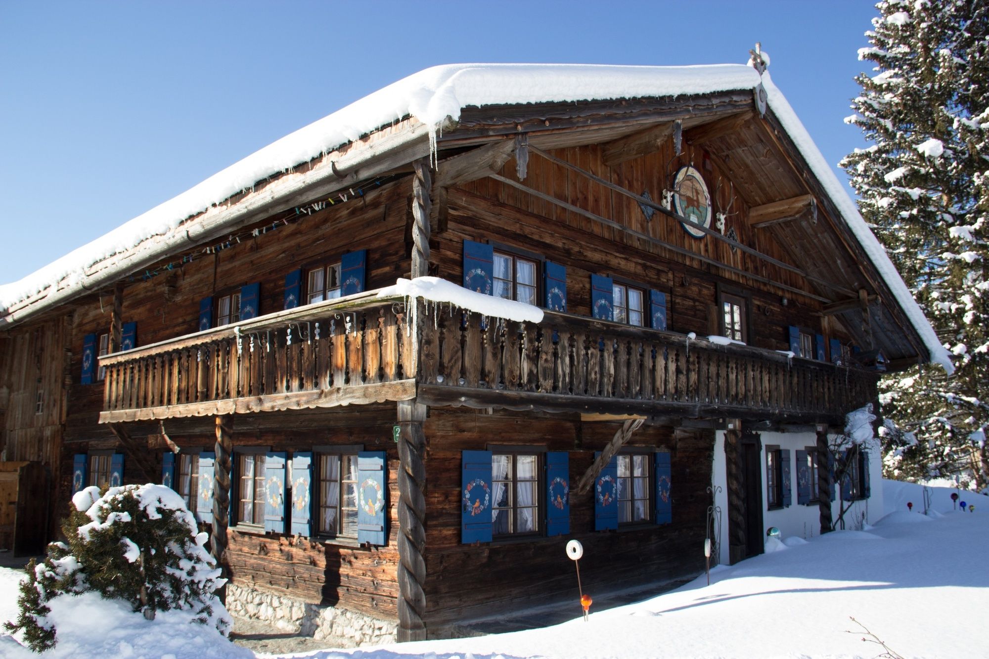
Einkehrmöglichkeit
Aussichtsreich
Weitere Touren in den Regionen
-
Allgäu
167
-
Tannheimer Tal
131
-
Tannheim
51