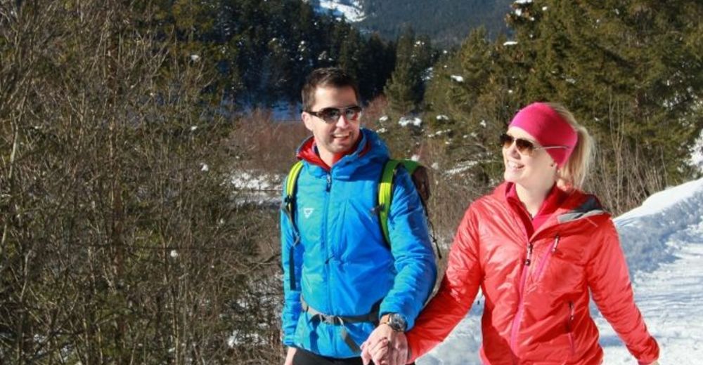
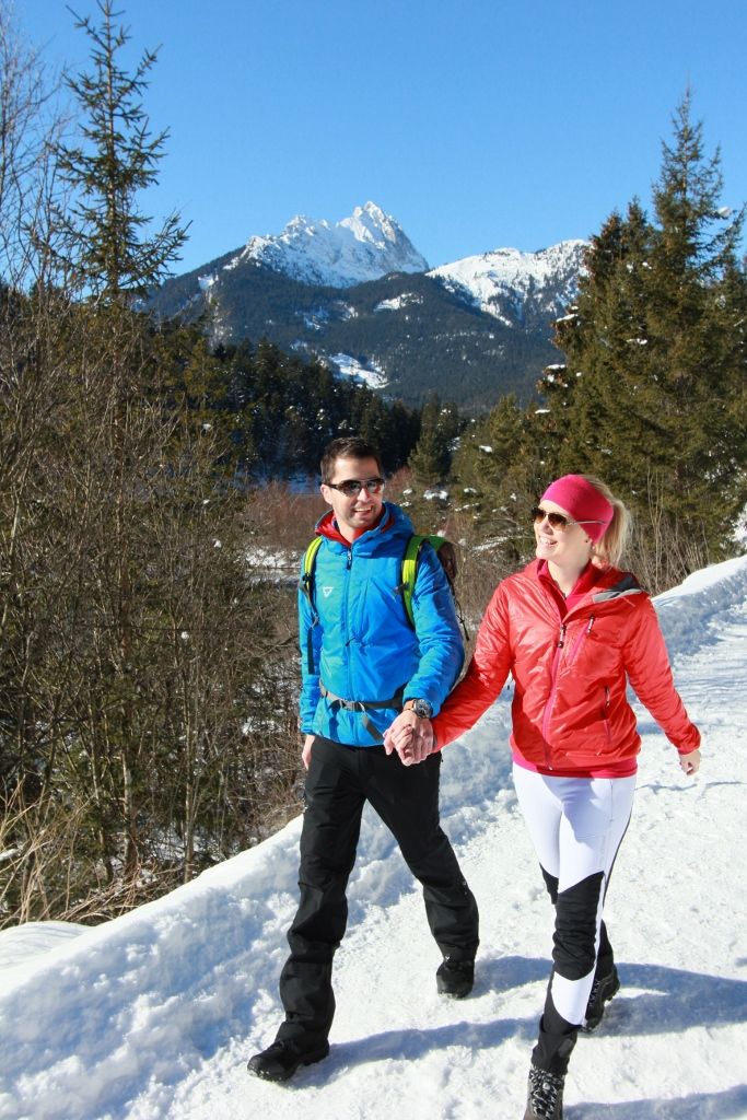
© Naturparkregion Reutte - Ramona Sprenger

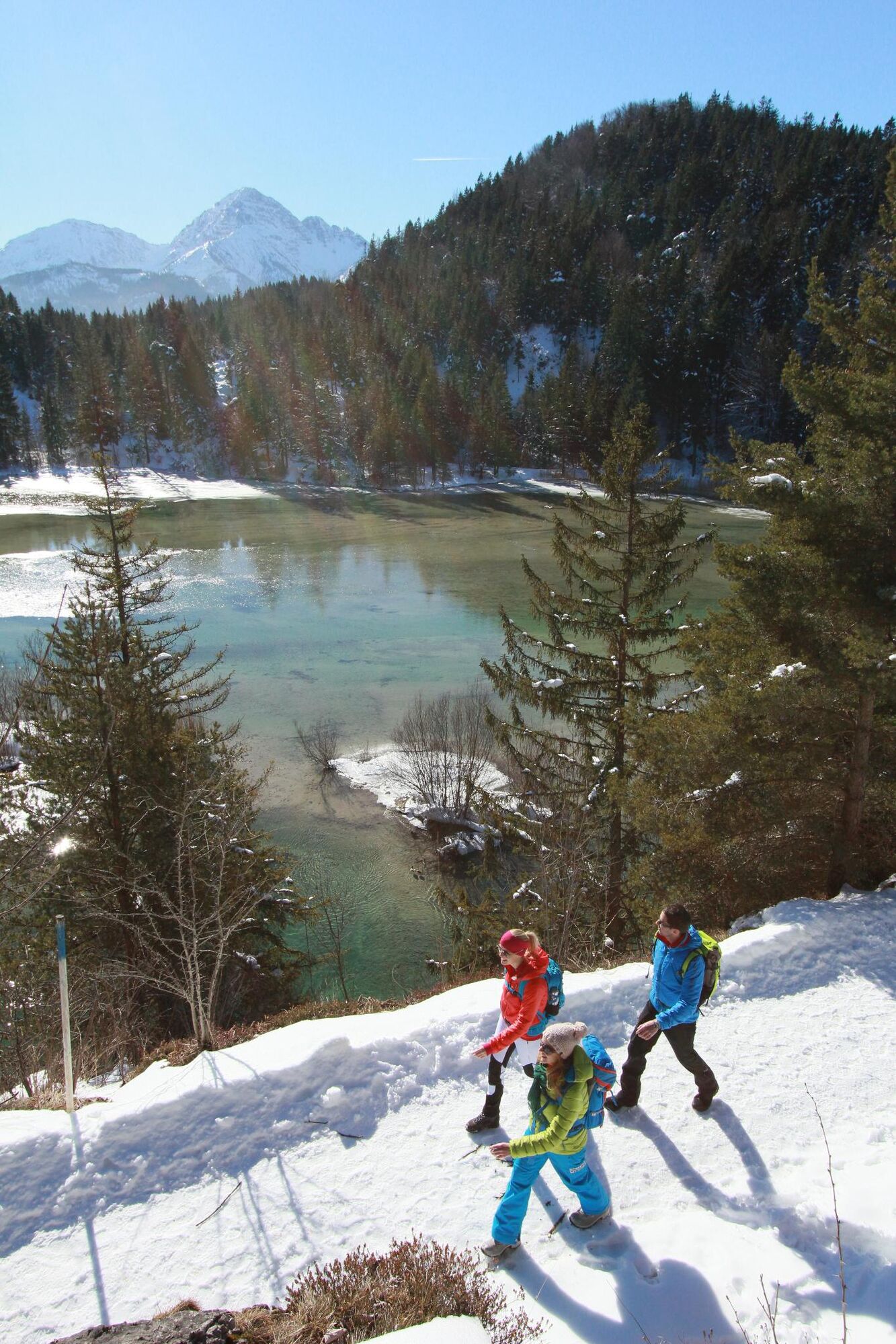
© Naturparkregion Reutte - Ramona Sprenger
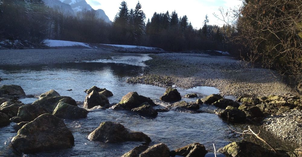
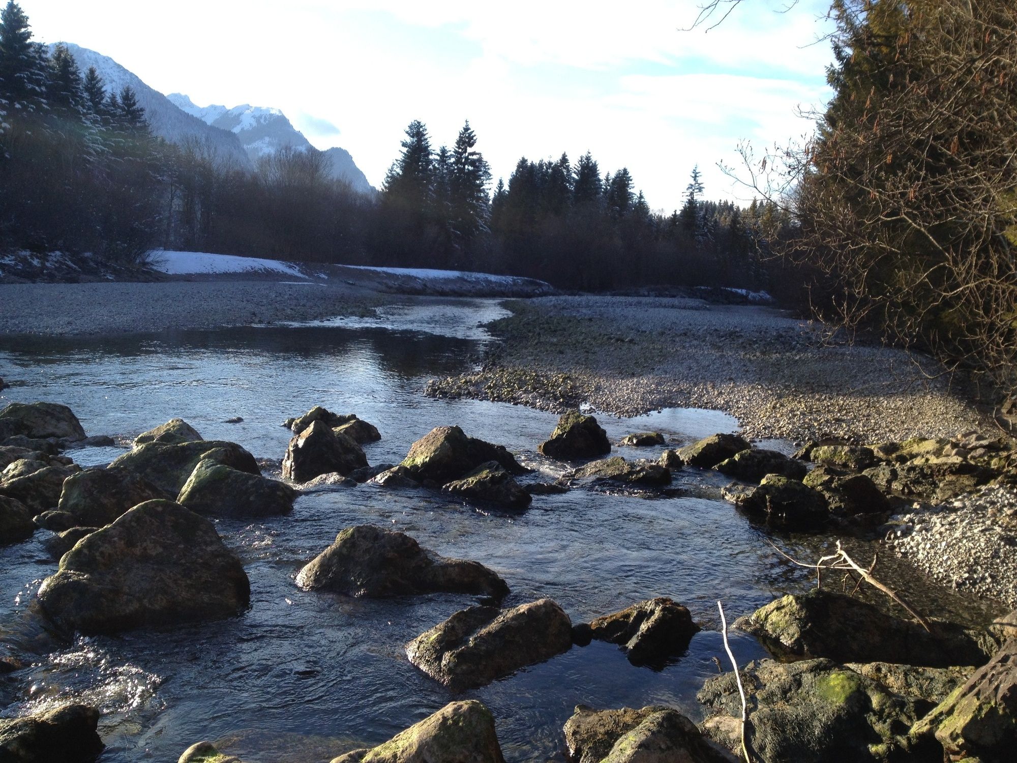
© Naturparkregion Reutte - Stefanie Pauli
- Kratak opis
-
Aussichtsreiche, gemütliche Tour.
- Teškoća
-
lagano
- Vrednovanje
-
- Wegverlauf
-
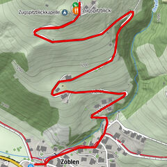
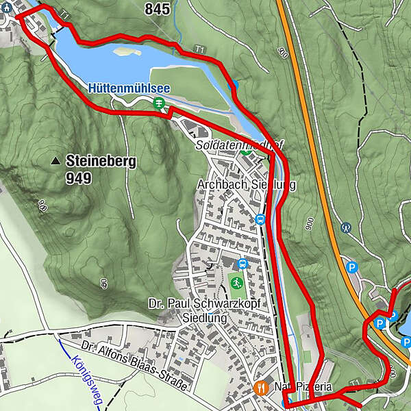
Mühl0,2 kmPflach (840 m)2,0 kmHüttkapelle2,0 kmHüttenbichl2,1 kmArchbach Siedlung3,1 kmMühl3,7 km
- Beste Jahreszeit
-
kolrujlisstuprosijveljožutrasvilipsrp
- Höchster Punkt
- 921 m
- Zielpunkt
-
Parkplatz am Urisee oder Mühl
- Höhenprofil
-

-
-
AutorDie Tour Panoramaweg Archbach-Mühl wird von outdooractive.com bereitgestellt.
GPS Downloads


Opće informacije
Aussichtsreich
Weitere Touren in den Regionen
-
Allgäu
165
-
Naturparkregion Reutte
140
-
Breitenwang
66