

© Defrancesco

© Defrancesco

© Defrancesco

© www.rolart-images.com - Roland Defrancesco
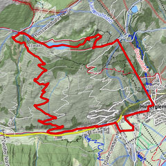
Podaci o ruti
4,07km
949
- 1.164m
197hm
7hm
01:45h
- Kratak opis
-
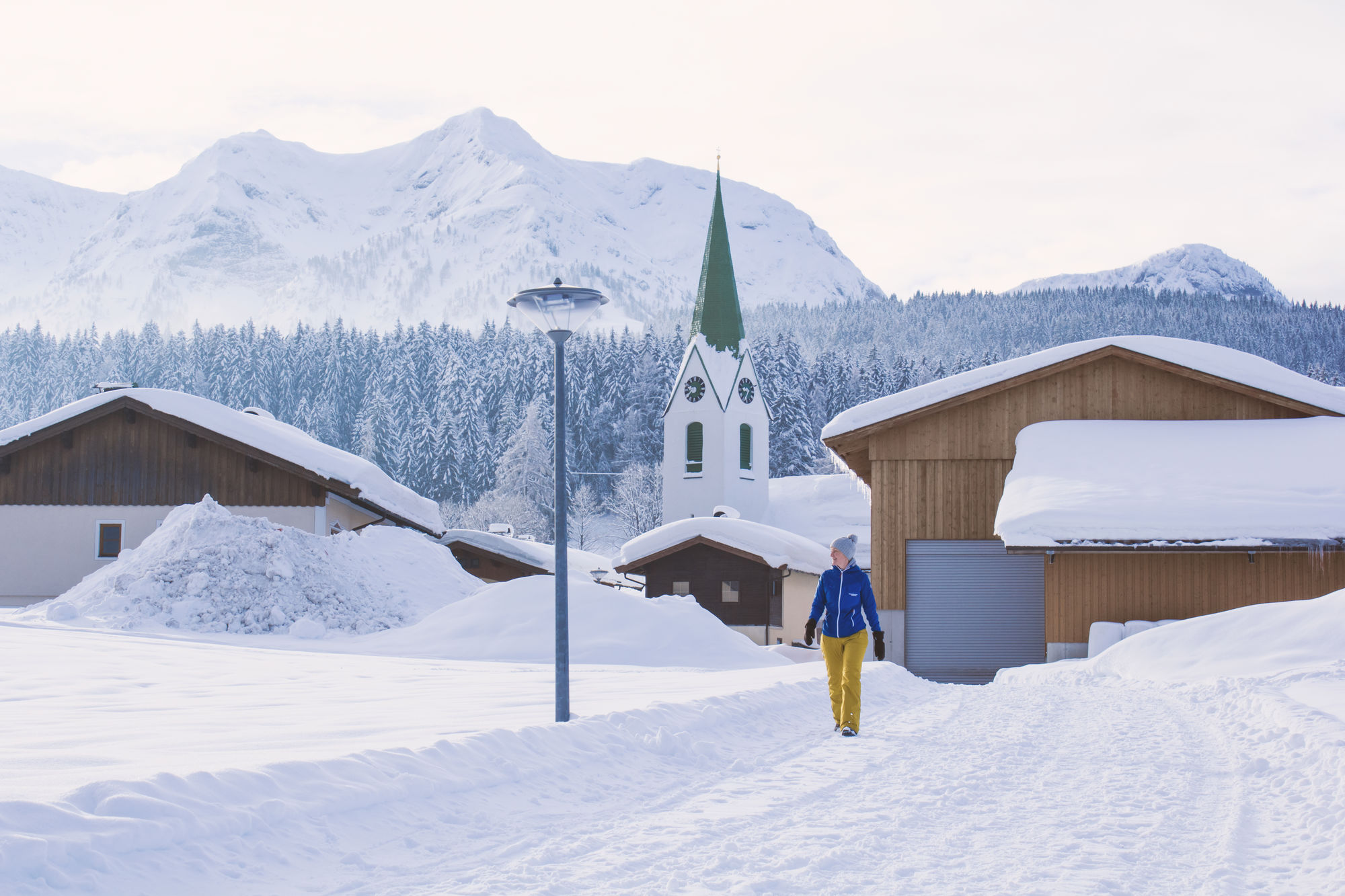
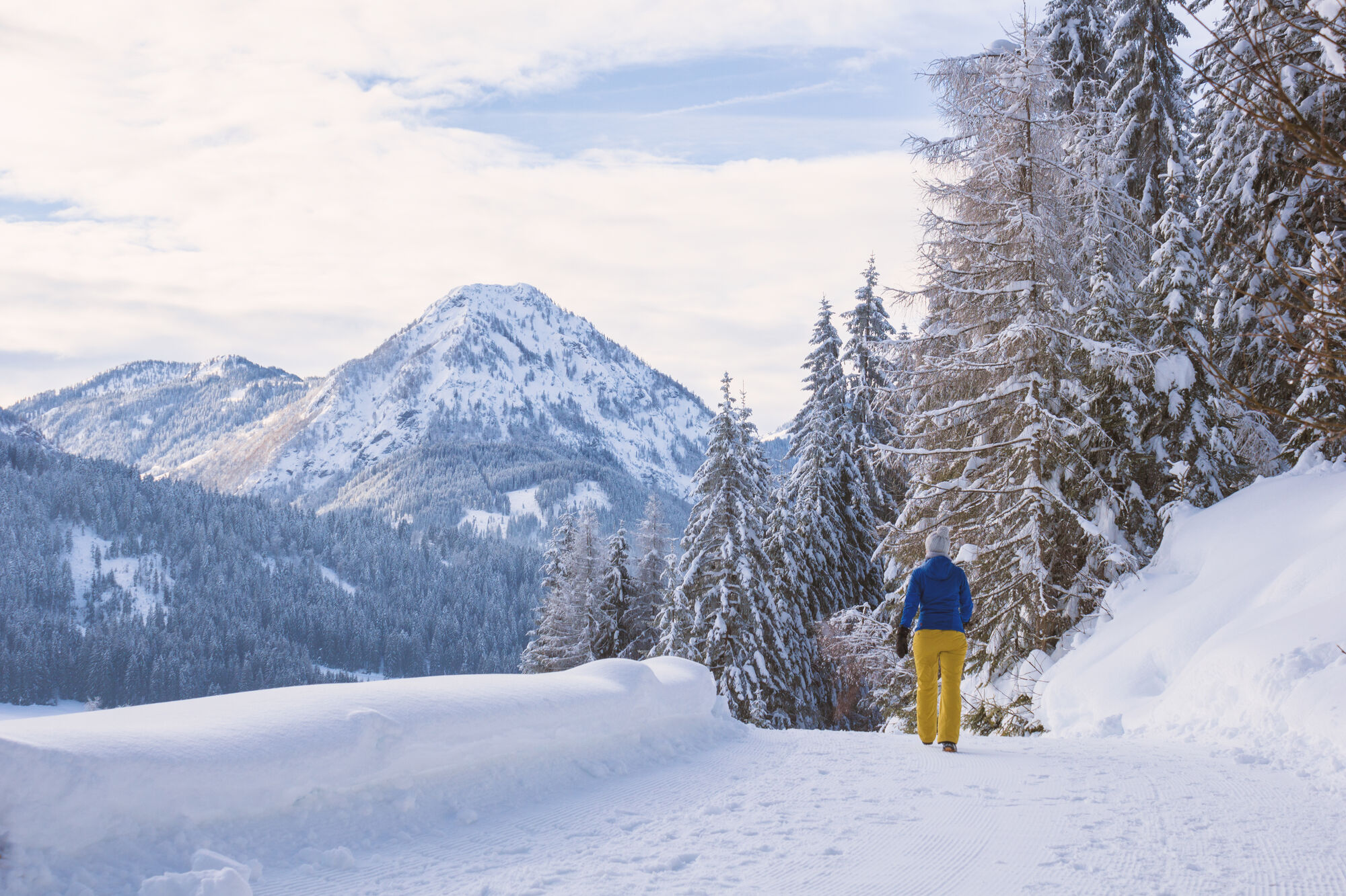
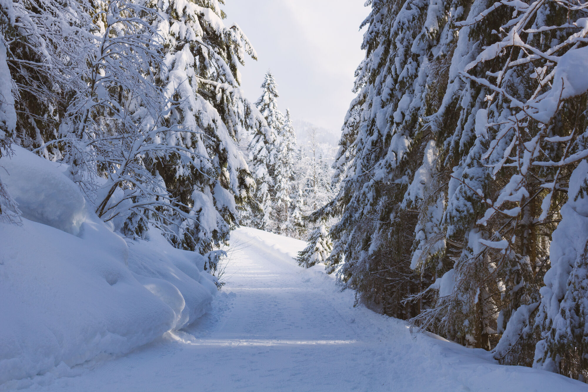
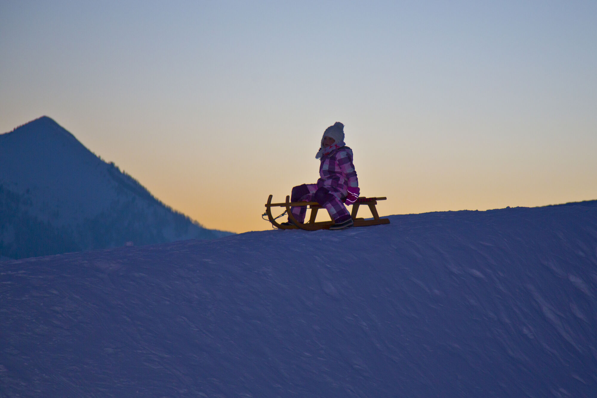
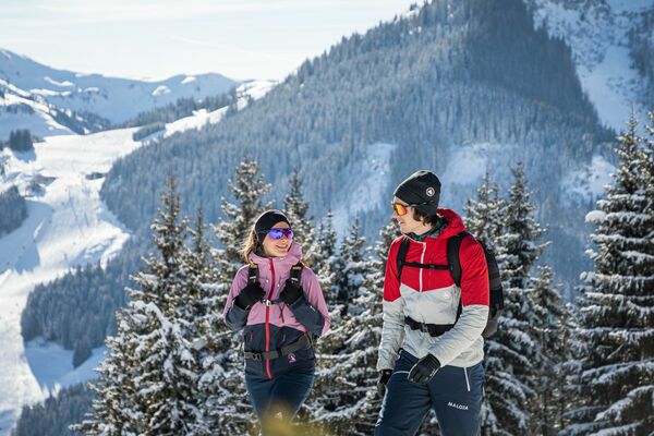
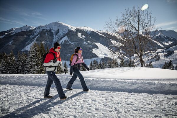
This hike offers a little of the forest and a lot of sun, as well as beautiful vieuws of the Wilder Kaiser, Leoganger Steinberge and Kitzbüheler Alpen.
- Teškoća
-
srednje
- Vrednovanje
-
- Polazna točka
-
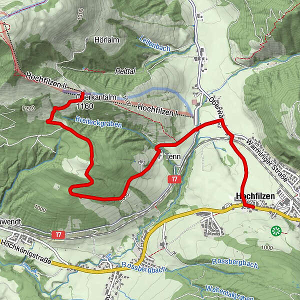
Dorfzentrum Hochfilzen
- Wegverlauf
-
HochfilzenRestaurant im Hotel EdelweißPfarrkirche Maria Schnee0,1 kmHoametzl Hütte4,1 kmHochfilzenlift 24,1 km
- Beste Jahreszeit
-
kolrujlisstuprosijveljožutrasvilipsrp
- Höchster Punkt
- 1.164 m
- Zielpunkt
-
Hoametzl
- Rast/Einkehr
-
Hoametzlhütte
- Materijal za karte
-
Hiking map are available in all tourist office of the PillerseeTal
- Info-Telefon
-
0043 5354 56304-10
- Link
- https://maps.pillerseetal.at/v2/de/gdi_summer/2...
- Izvor
- TVB PillerseeTal
GPS Downloads


Weitere Touren in den Regionen
-
Pillerseetal
185
-
Hochfilzen
64


 Mirja Geh")
