

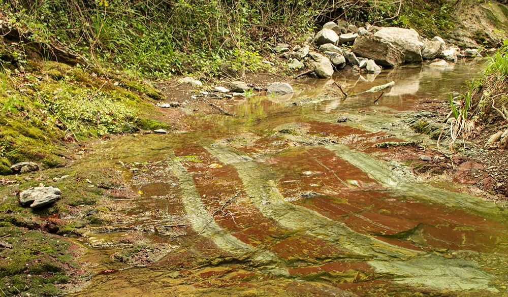
© Casciana Terme Lari - Matteo Cartacci

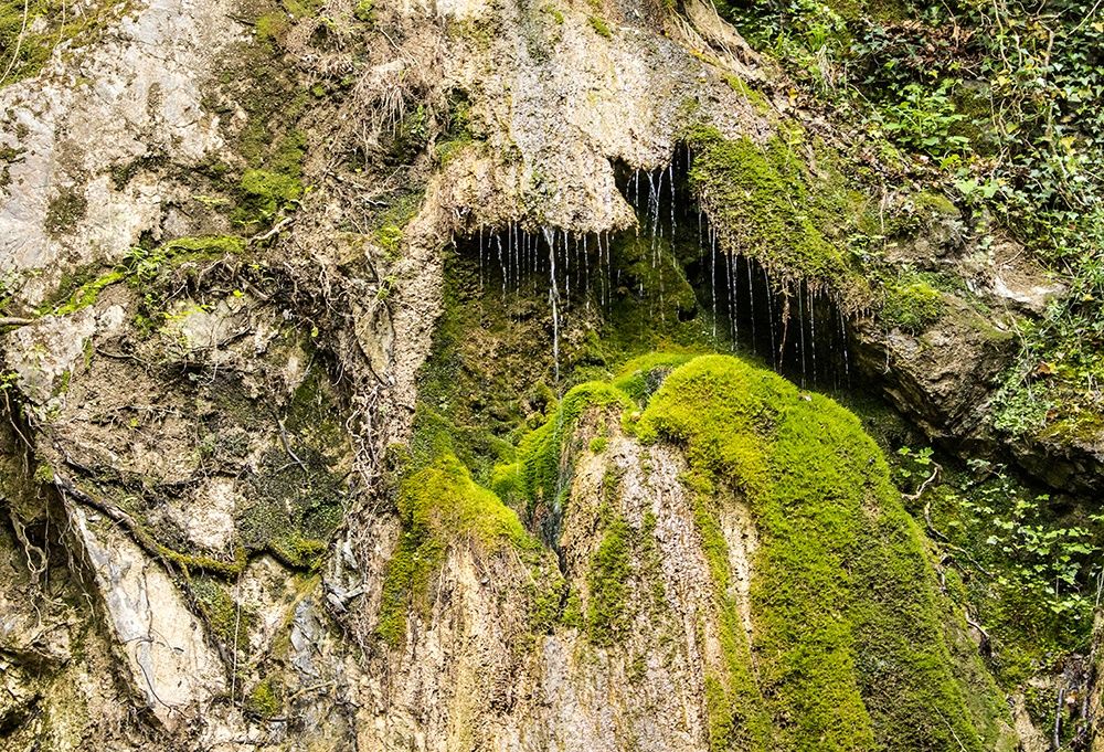
© Matteo Cartacci

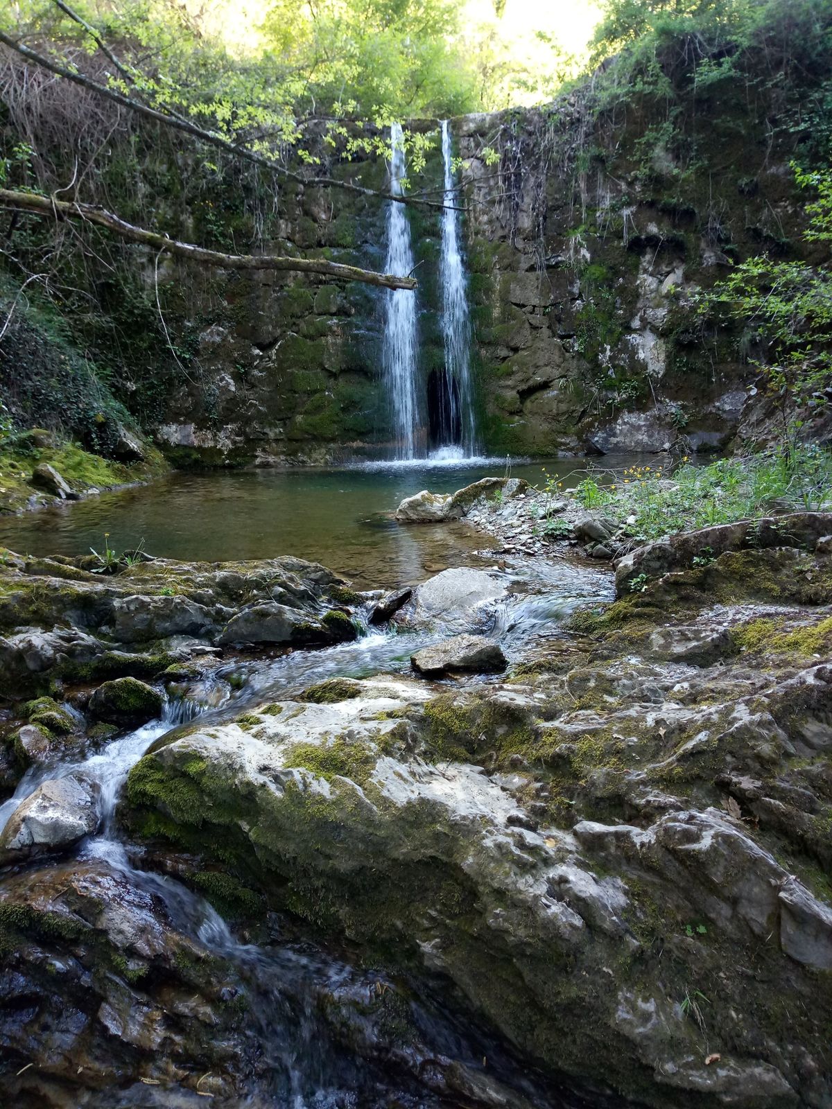
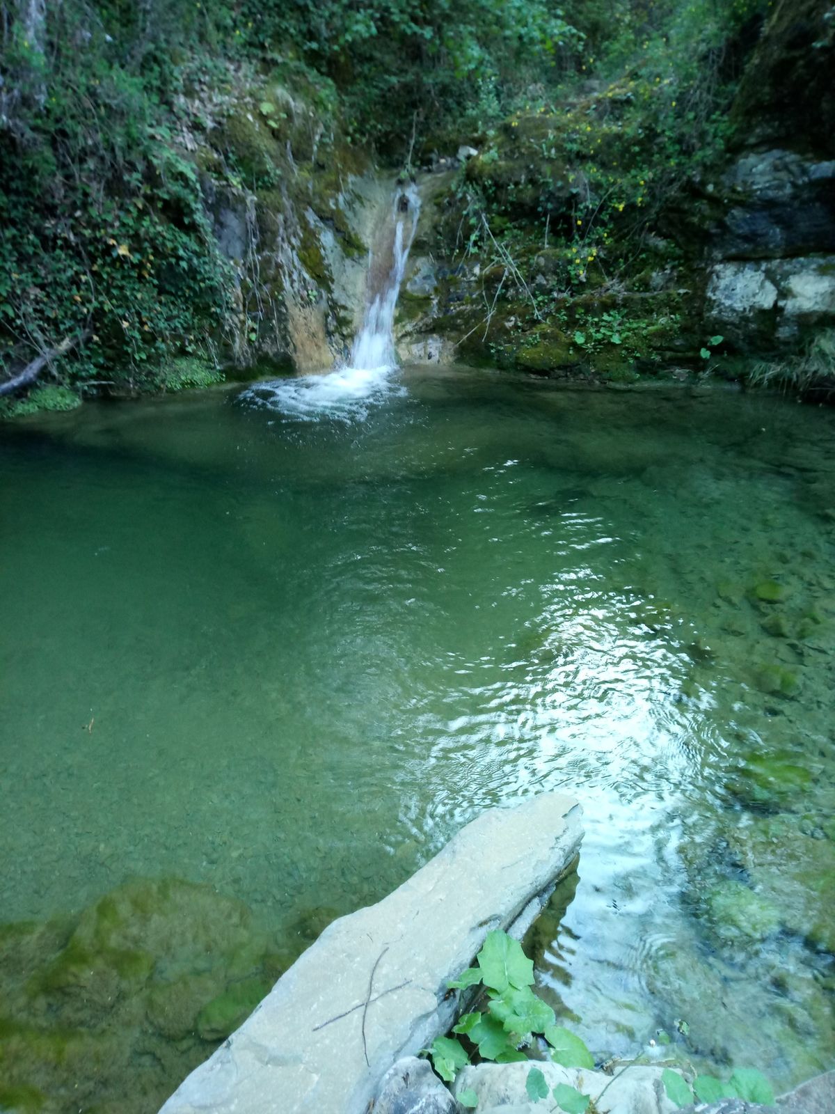
© Matteo Cartacci

© Casciana Terme Lari - Matteo Cartacci

© Casciana Terme Lari - Matteo Cartacci

© Casciana Terme Lari - Matteo Cartacci

© Casciana Terme Lari - Matteo Cartacci

© Casciana Terme Lari - Matteo Cartacci

© Casciana Terme Lari - Matteo Cartacci

© Casciana Terme Lari - Matteo Cartacci

- Kratak opis
-
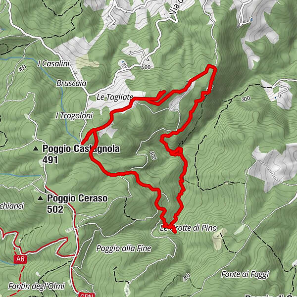
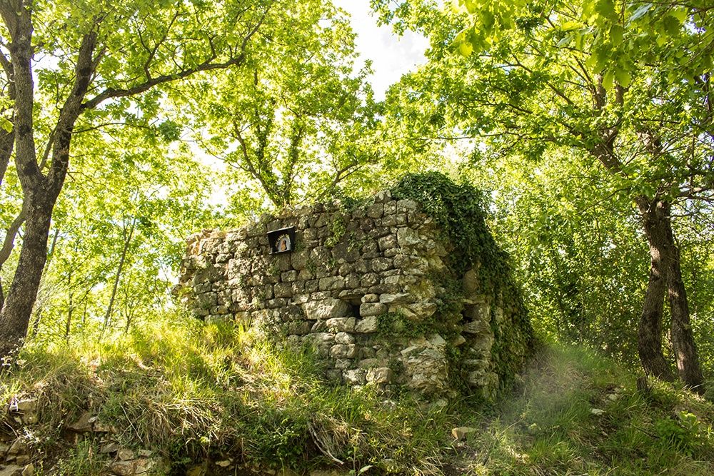
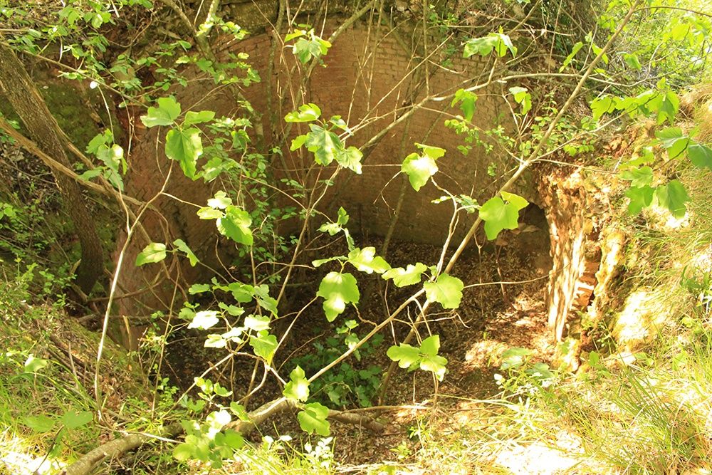
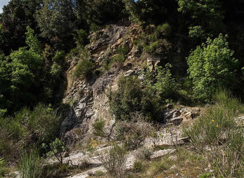
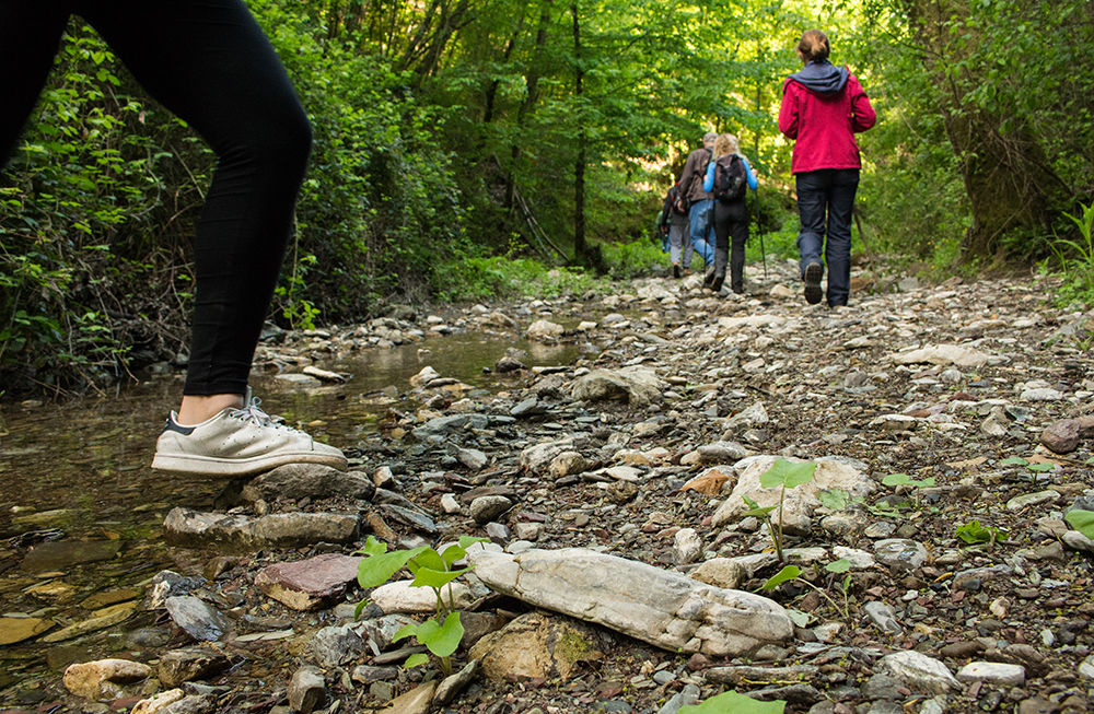
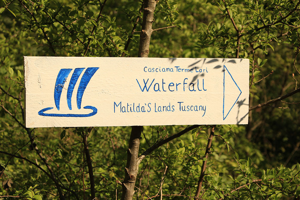
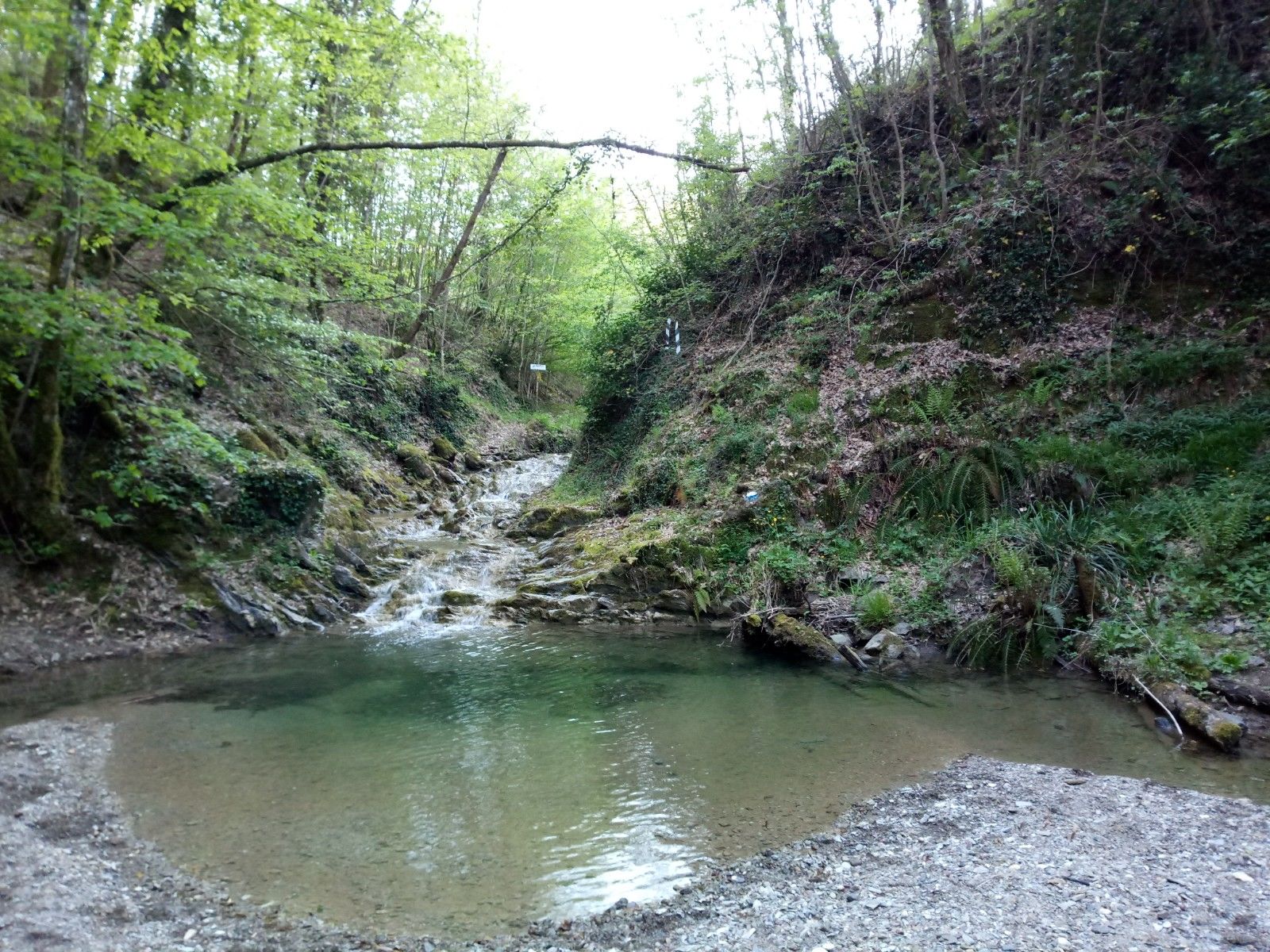
Un percorso escursionistico per le colline toscane risalendo il torrente "La Fine"
- Teškoća
-
srednje
- Vrednovanje
-
- Wegverlauf
-
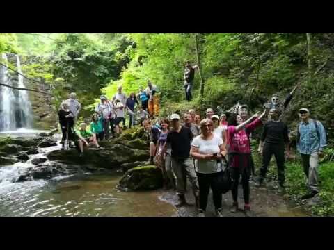
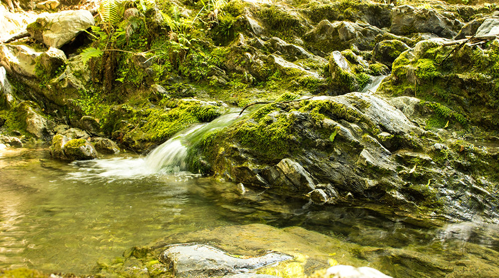
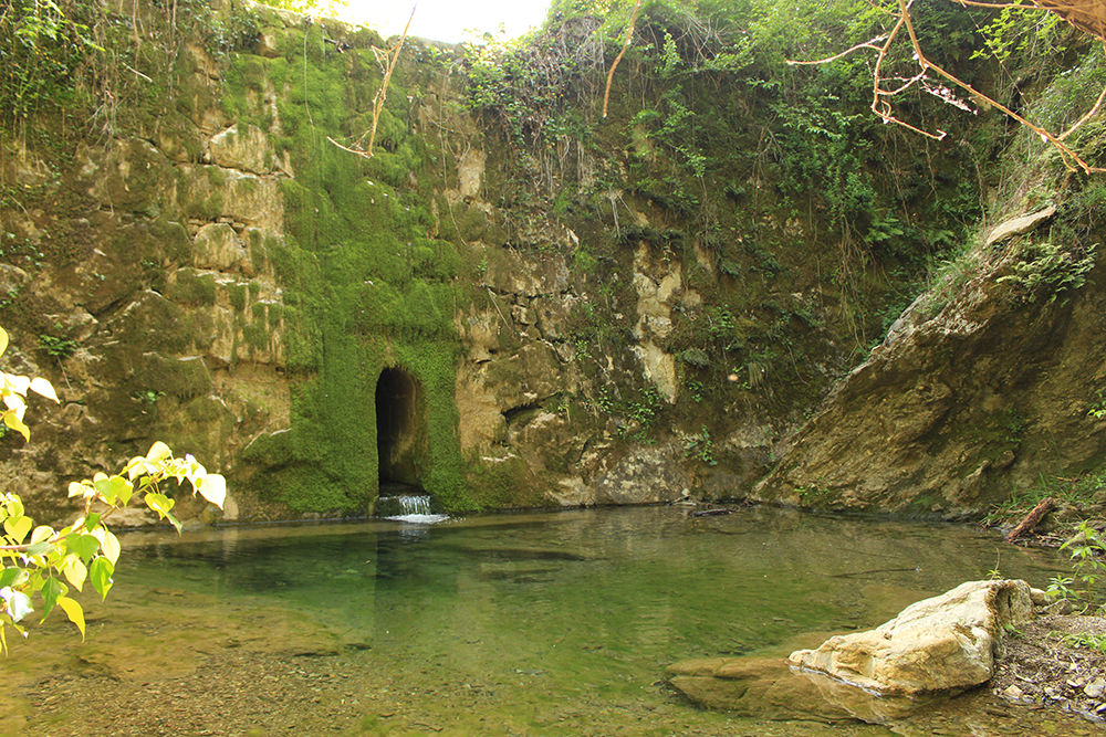
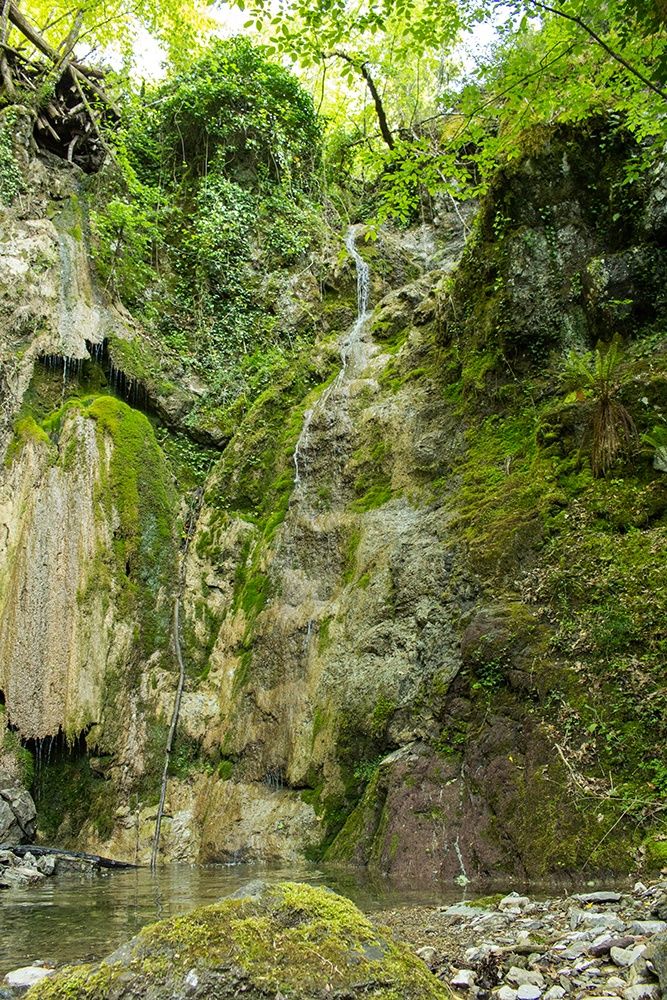
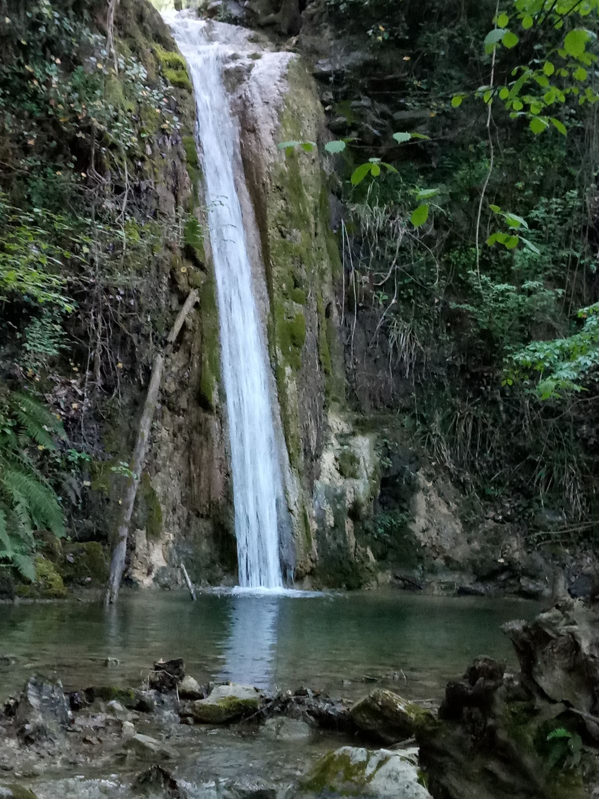
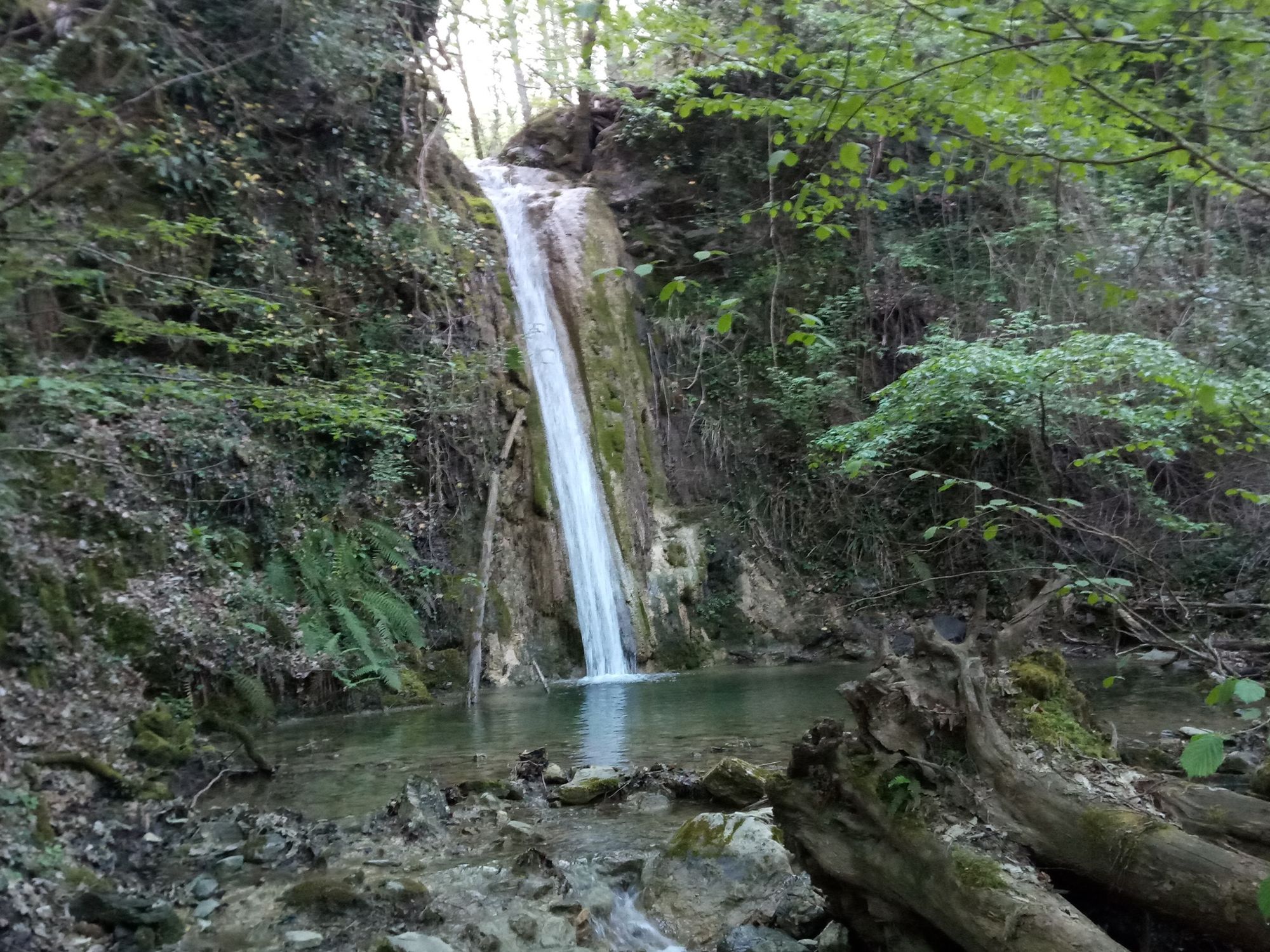
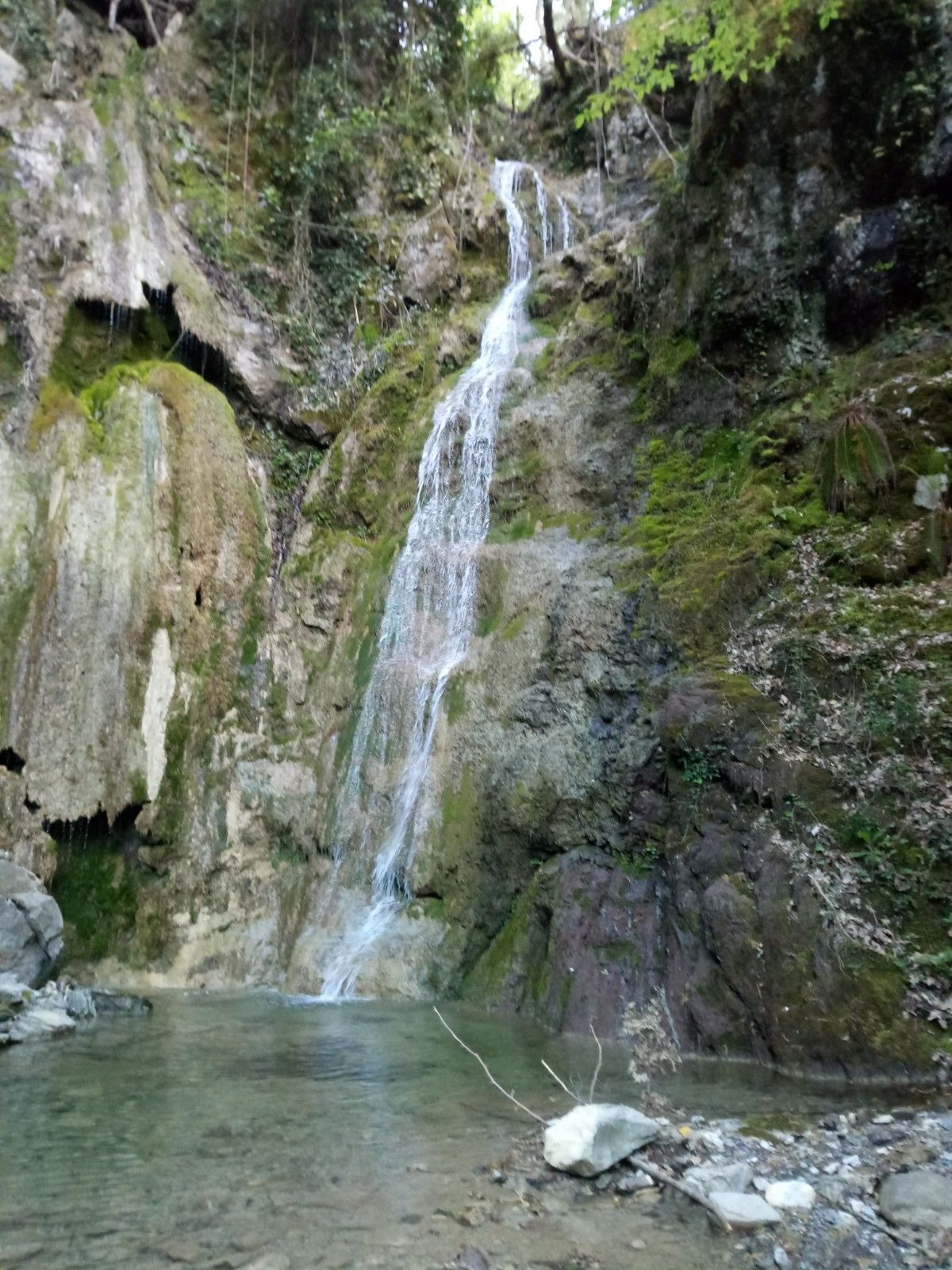
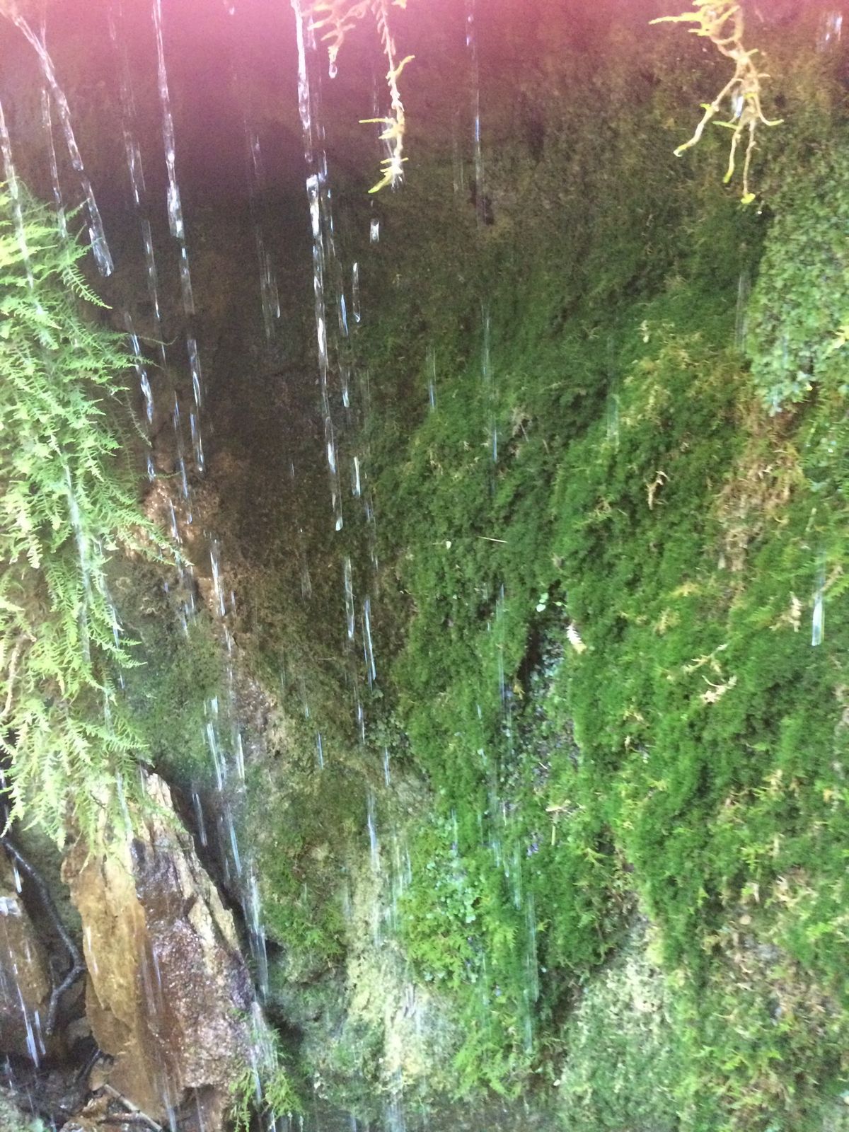
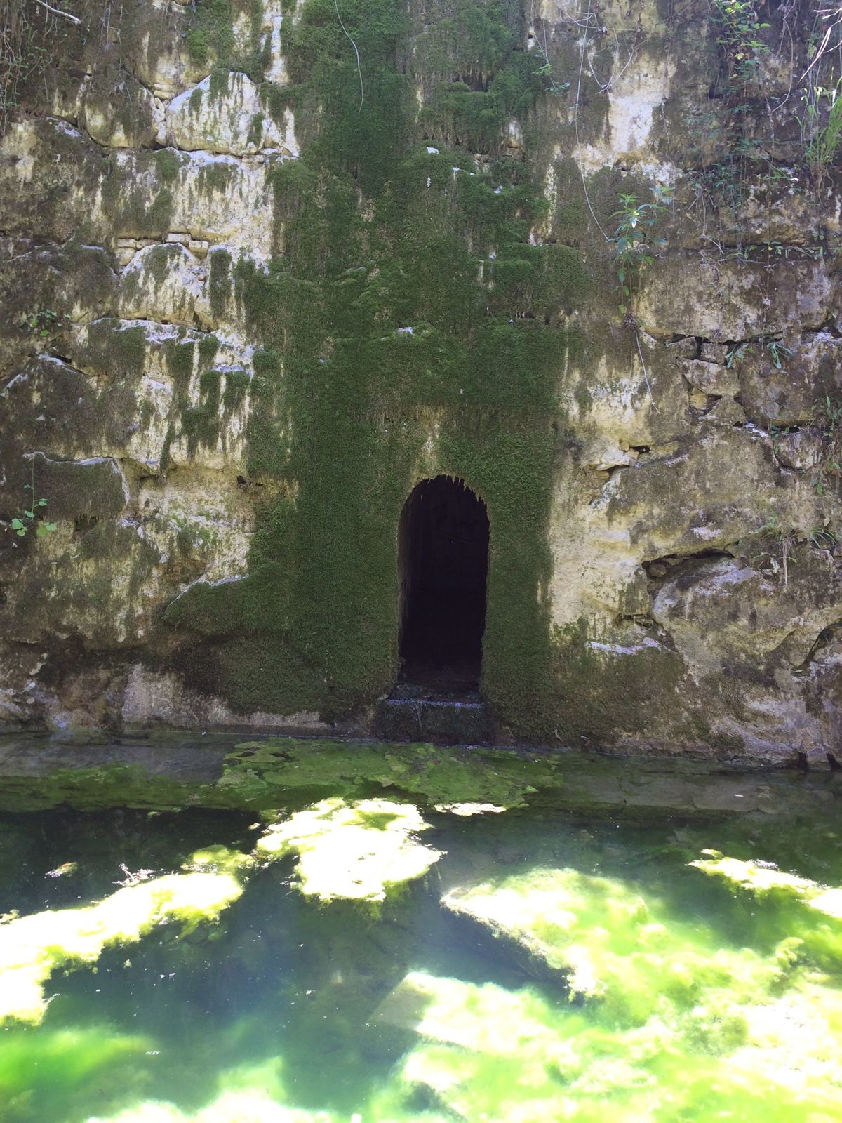
Panorama da "Le Tagliate"0,4 kmCascata torrente La Fine3,9 kmCascata torrente La Fine4,3 km
- Beste Jahreszeit
-
sijveljožutrasvilipsrpkolrujlisstupro
- Höchster Punkt
- 479 m
- Zielpunkt
-
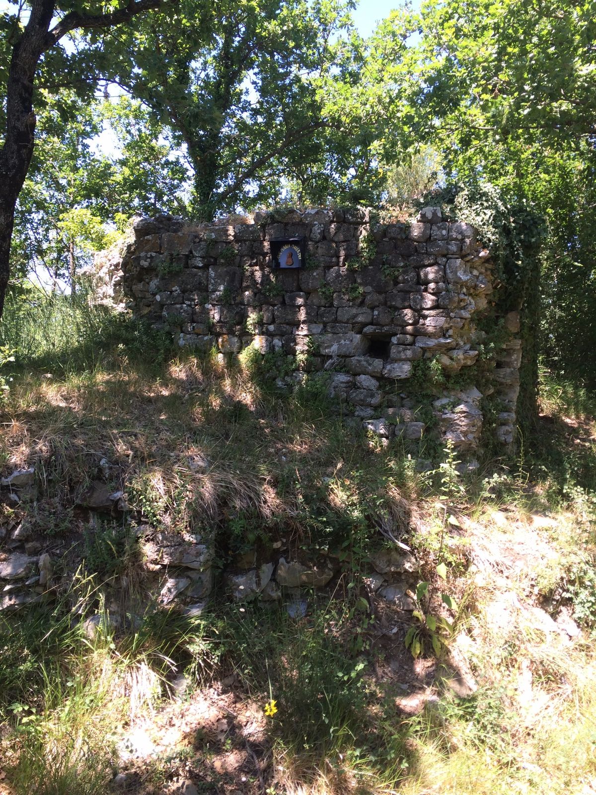
Altopiano della Rocca di Montanino
- Höhenprofil
-
 © outdooractive.com

- Autor
-
Die Tour Matilda' s Land - The green heart of authentic Tuscany wird von outdooractive.com bereitgestellt.
GPS Downloads


Opće informacije
Heilklima
Kulturell/Historisch
Geheimtipp
Flora
Fauna
Aussichtsreich
Weitere Touren in den Regionen

