

© VisitTrentino - PhMatteoZanca_YourBigStories per APT Val di Fassa

© VisitTrentino - ph.credit Bosch eBike per APT Fassa

© VisitTrentino - Redazione Visittrentino

© VisitTrentino - Redazione Visittrentino

© VisitTrentino - Redazione Visittrentino

© VisitTrentino - Redazione Visittrentino

© VisitTrentino - Redazione Visittrentino

© VisitTrentino - Redazione Visittrentino

© VisitTrentino - Redazione Visittrentino
Podaci o ruti
41,9km
797
- 1.385m
287hm
743hm
03:20h
- Kratak opis
-
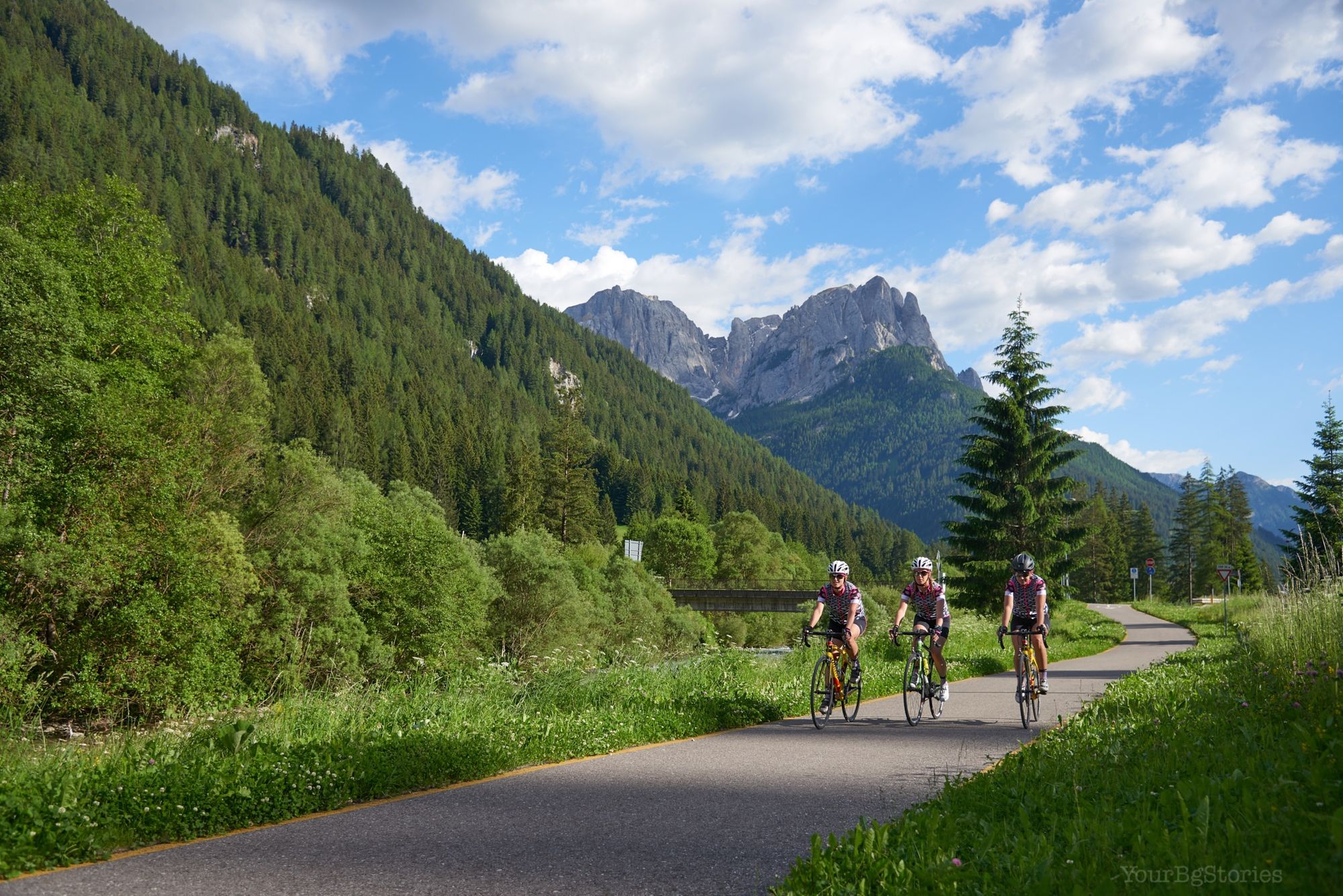
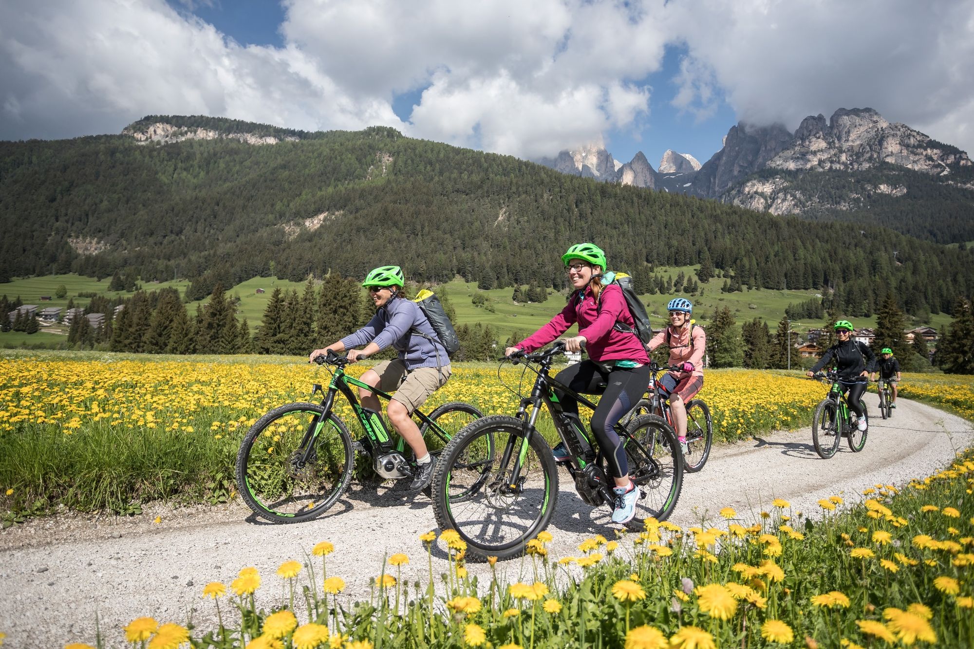
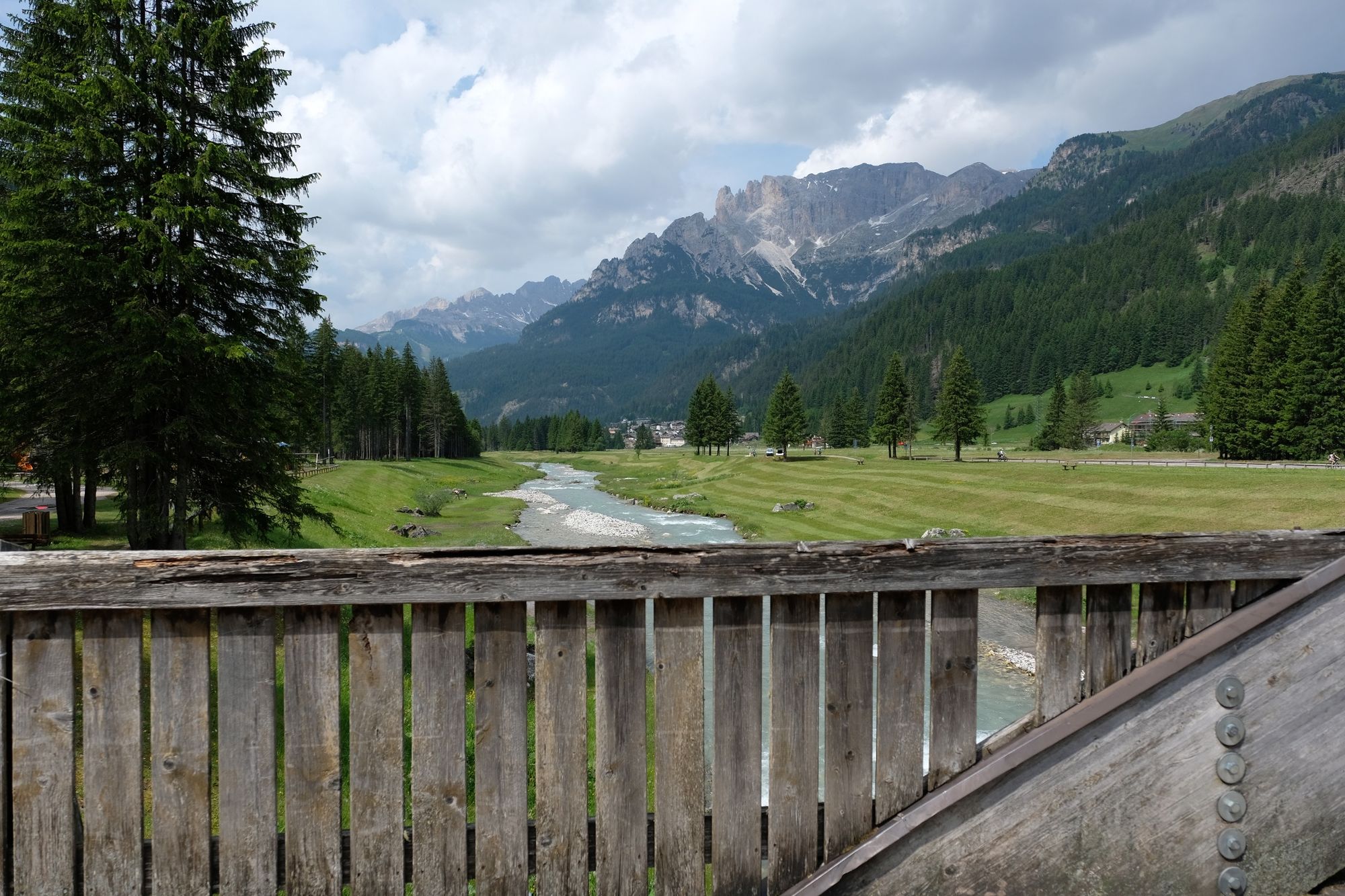
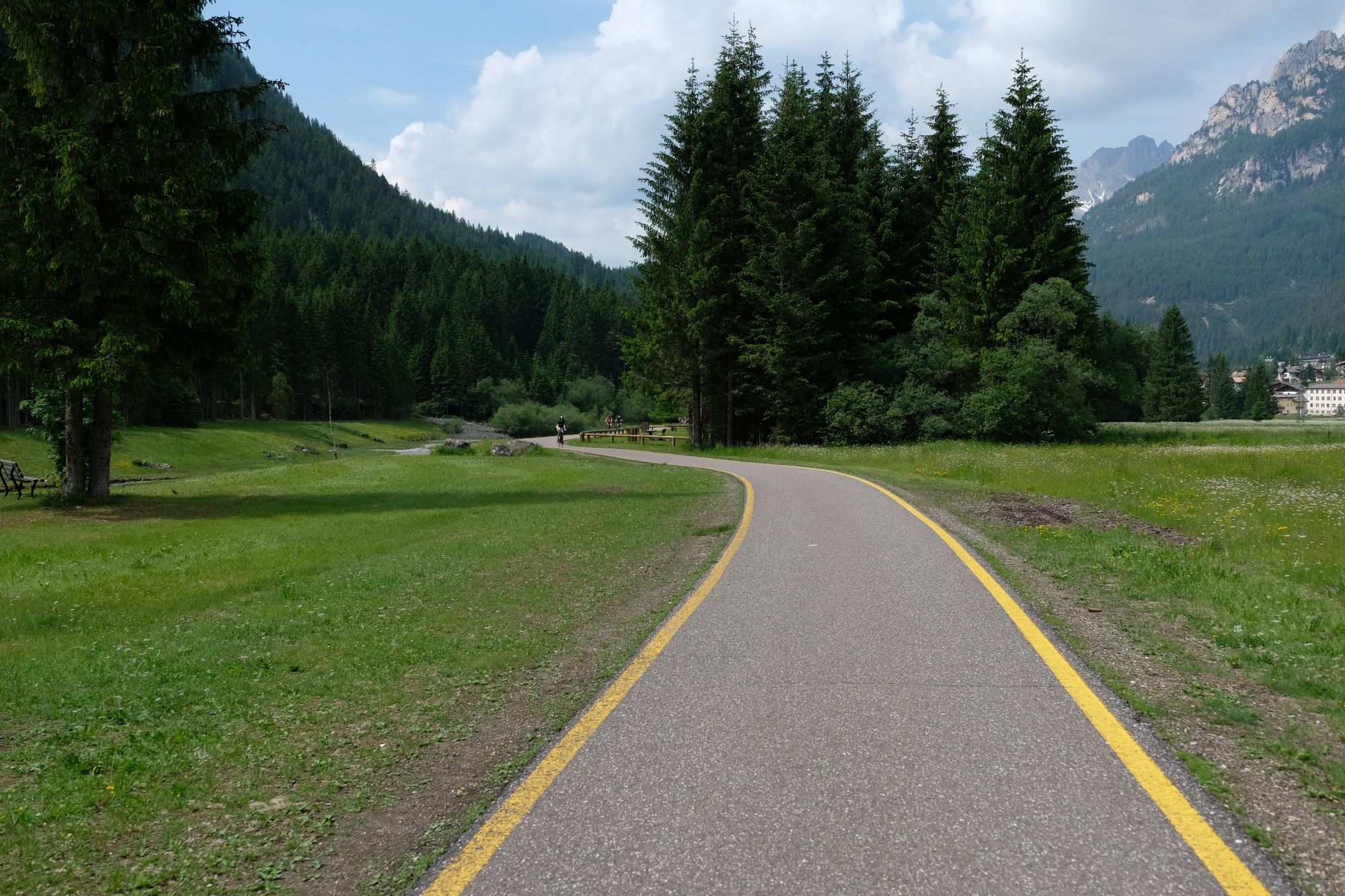
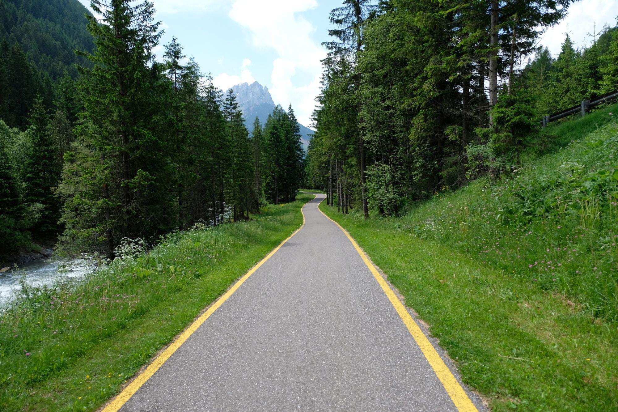
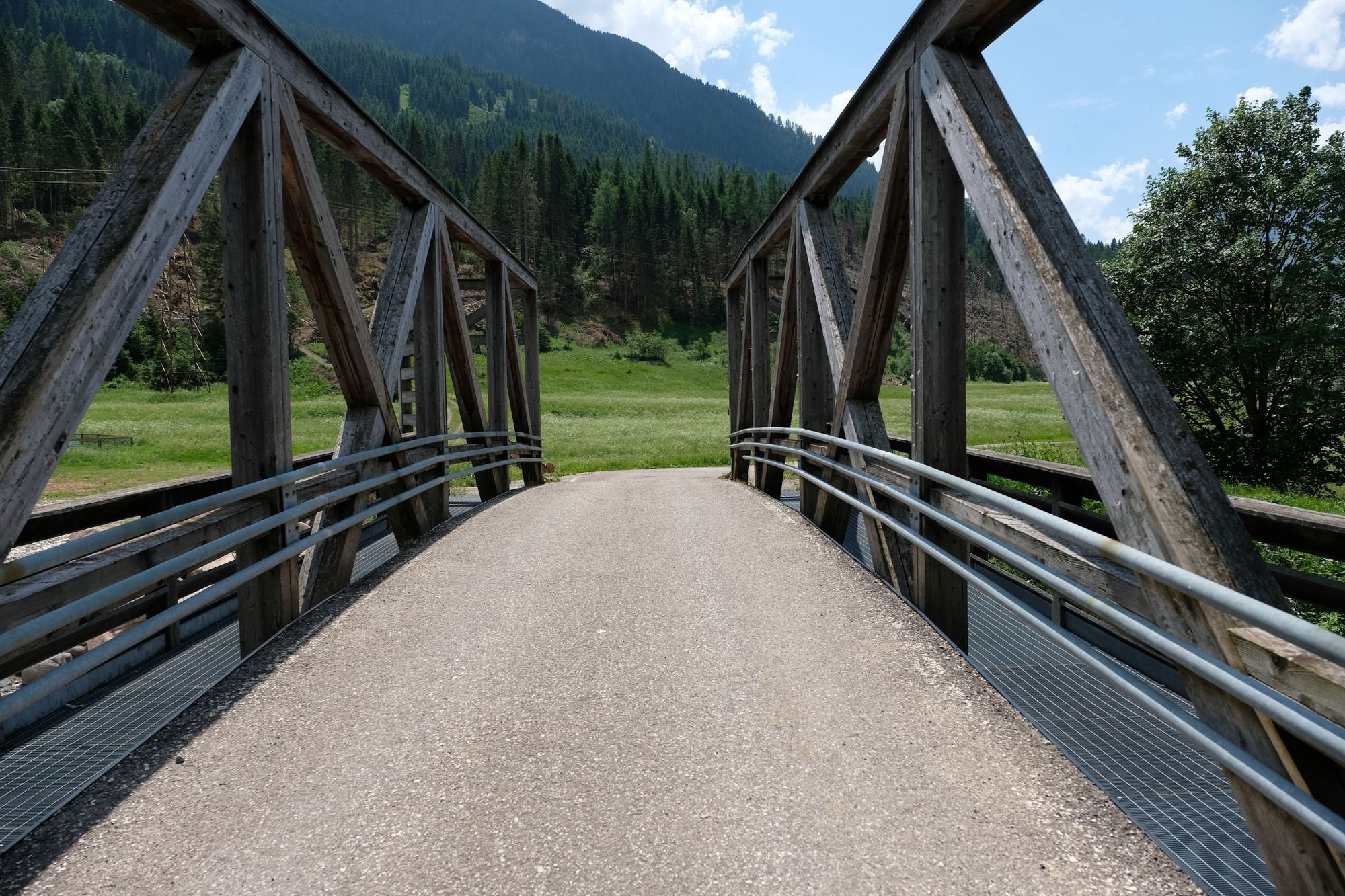
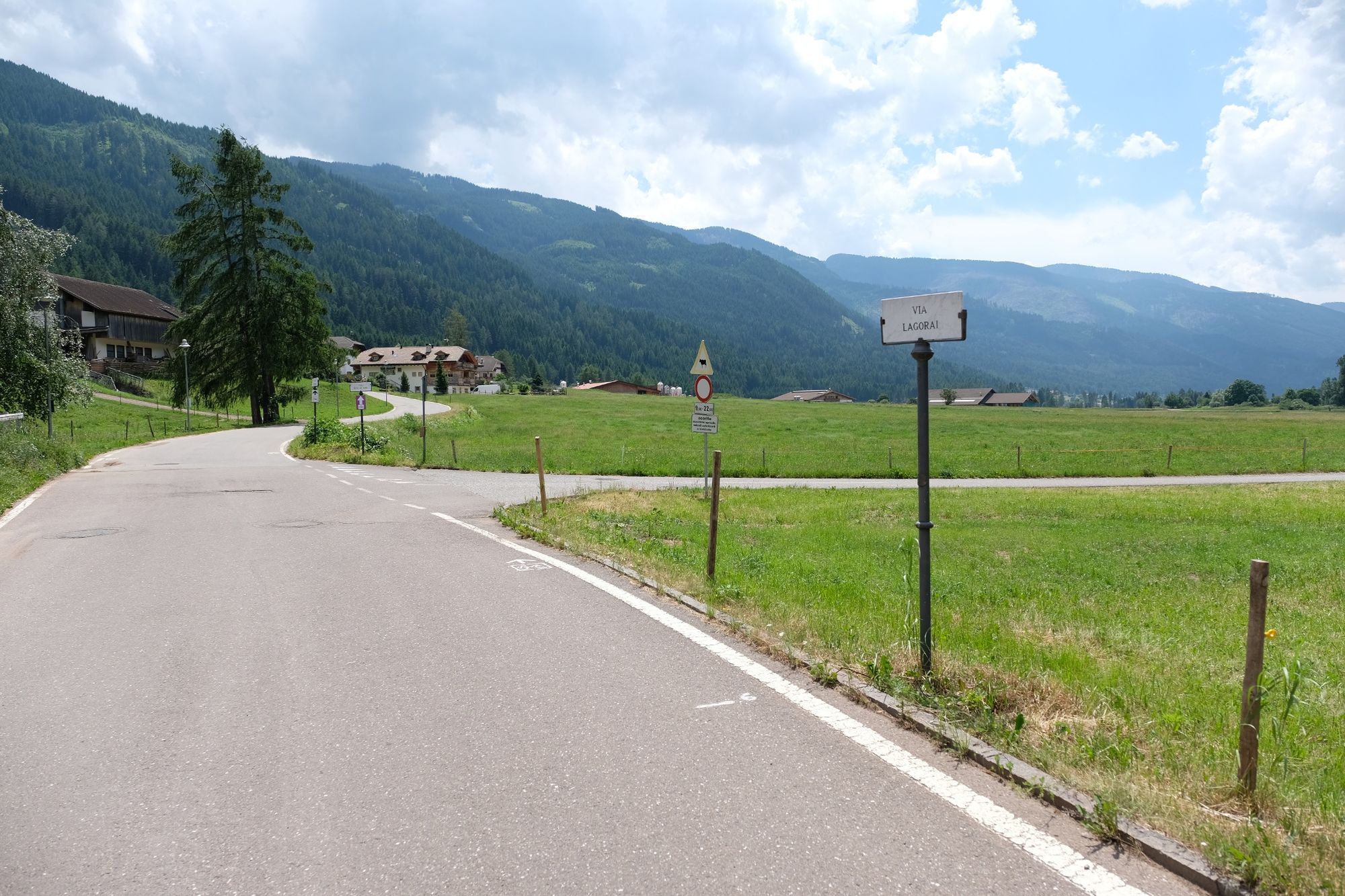
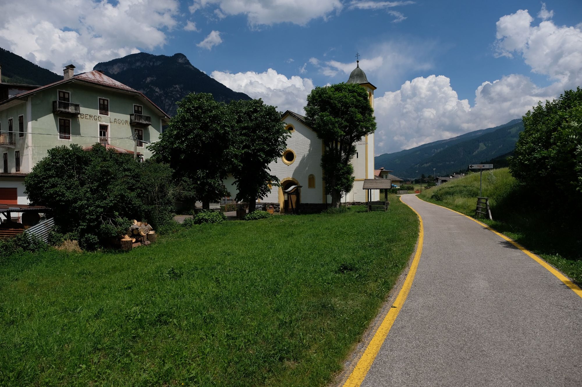
La pista ciclabile attraversa le Valli di Fassa e di Fiemme, ripercorre il tracciato della Marcialonga
- Teškoća
-
srednje
- Vrednovanje
-
- Wegverlauf
-
Campestrin1,0 kmMazzin2,5 kmPera di Fassa4,4 kmPozza di Fassa6,1 kmSan Giovanni di Fassa6,9 kmJa Vito10,7 kmÜberwasser10,7 kmMoyen13,2 kmForno (1.165 m)17,4 kmMezzavalle19,5 kmStalimen20,8 kmAl Fol21,7 kmPoz21,9 kmLa Bìra22,1 kmMolìn22,7 kmCoste23,0 kmChiesa di San Nicolò23,4 kmPè de Pardàc23,5 kmPredazzo23,5 kmPizzeria Millenium23,5 kmChiesetta di Sant'Anna27,7 kmRoda27,8 kmBosin28,1 kmZanonberg)28,1 kmZanolin28,9 kmWeißbach30,4 kmRoncosogno31,6 kmL'Osteria dela Nona31,6 kmLa Trattoria32,2 kmLago di Tesero32,3 kmChiesetta di Lago di Tesero32,7 kmMasi di Cavalese35,3 kmSanta36,0 kmMantovane39,9 kmMolina di Fiemme41,7 km
- Beste Jahreszeit
-
sijveljožutrasvilipsrpkolrujlisstupro
- Höchster Punkt
- 1.385 m
- Zielpunkt
-
Fontanazzo
- Höhenprofil
-
 © outdooractive.com

- Autor
-
Die Tour Val di Fiemme bike path wird von outdooractive.com bereitgestellt.
GPS Downloads


Opće informacije
Einkehrmöglichkeit
Geheimtipp
Aussichtsreich
Weitere Touren in den Regionen