


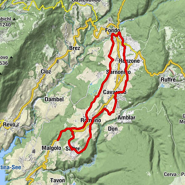
Podaci o ruti
20,31km
850
- 1.052m
333hm
277hm
02:30h
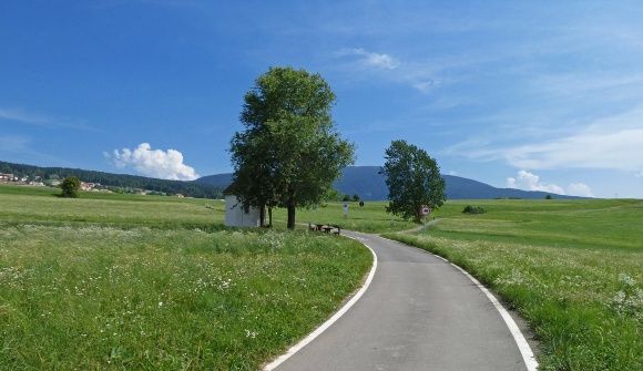
- Kratak opis
-
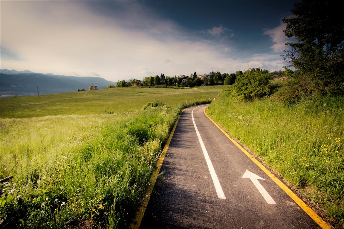
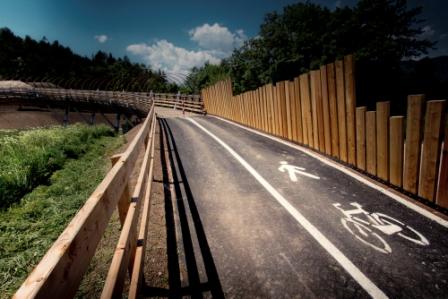
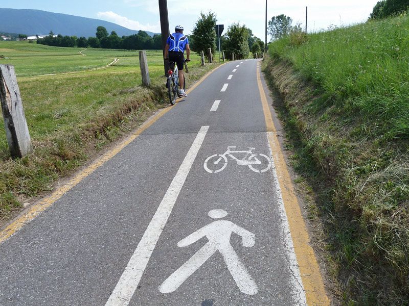
La Val di Non accoglie gli amanti delle due ruote con un tracciato tra paesaggi incantevoli
- Teškoća
-
lagano
- Vrednovanje
-
- Wegverlauf
-
Salter2,6 kmCorzuel4,3 kmChiesa di Santa Maria Assunta5,2 kmRomeno5,2 kmChiesa di Sant’Antonio Abate5,5 kmCavareno8,3 kmSanta Maria Maddalena8,4 kmSarnonico10,2 kmSan Antonio10,5 kmRonzone10,6 kmSanta Tecla12,2 kmMalosco12,3 kmLa Cantinota13,1 kmFondo13,2 kmSarnonico15,6 kmRomeno18,9 km
- Beste Jahreszeit
-
sijveljožutrasvilipsrpkolrujlisstupro
- Höchster Punkt
- 1.052 m
- Zielpunkt
-
Malgolo
- Höhenprofil
-
 © outdooractive.com

- Autor
-
Die Tour The Upper Val di Non Cycle and Foot Path wird von outdooractive.com bereitgestellt.
GPS Downloads


Opće informacije
Einkehrmöglichkeit
Geheimtipp
Weitere Touren in den Regionen