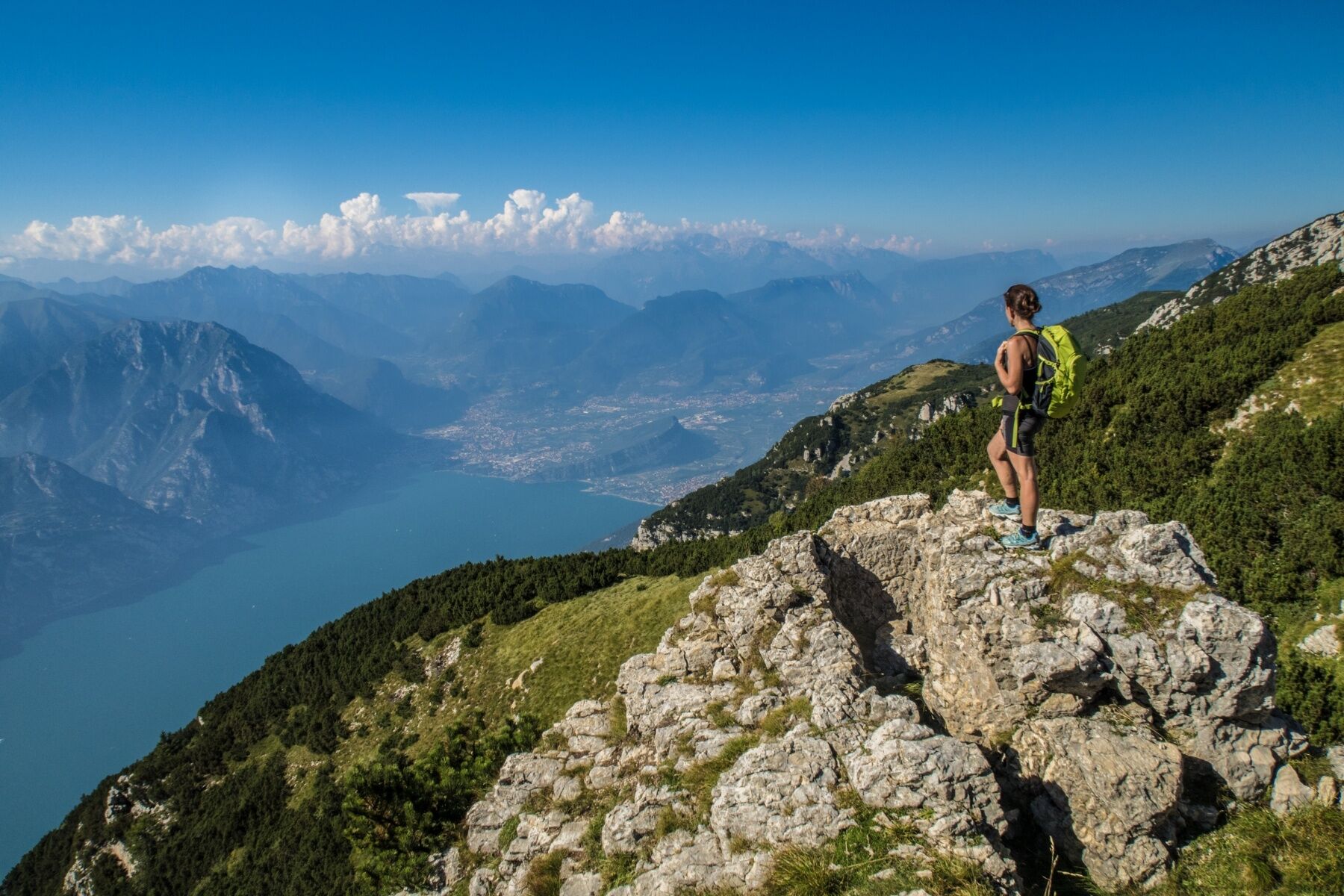
© North Lake Garda Trentino - Archivio Garda Trentino - Ph. G. P. Calzà

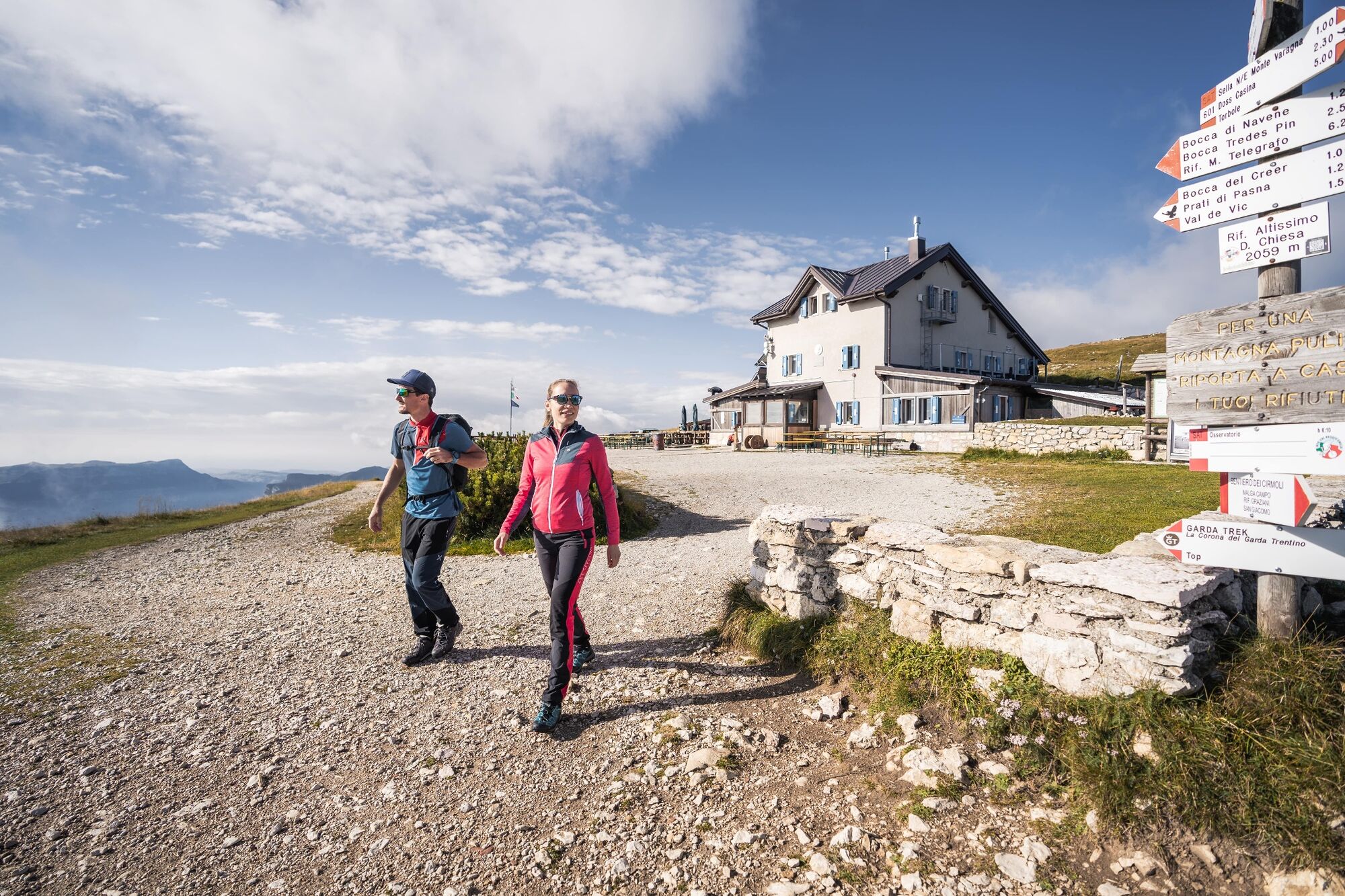
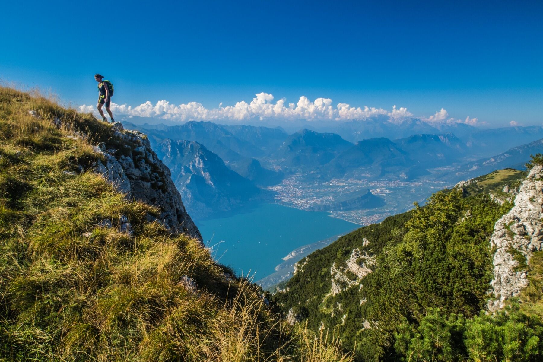
© Garda Trentino - Archivio Garda Trentino (ph. Watchsome)

© Garda Trentino - Archivio Garda Trentino (ph. Watchsome)

© North Lake Garda Trentino - Archivio Garda Trentino - Ph. G. P. Calzà

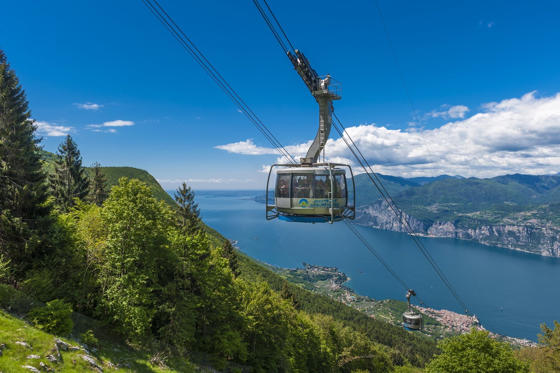
© North Lake Garda Trentino - Foto Funivia Malcesine Monte Baldo

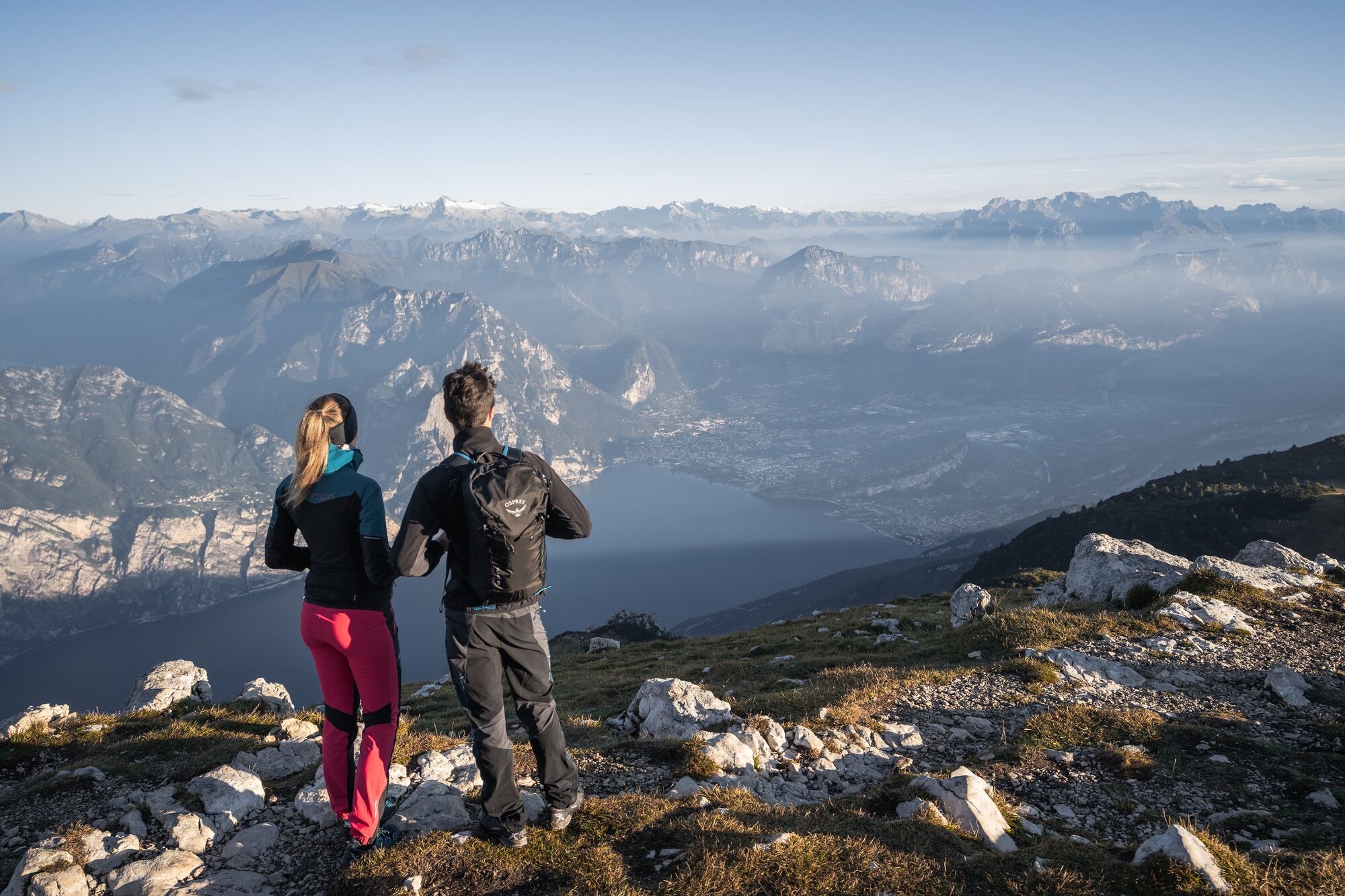
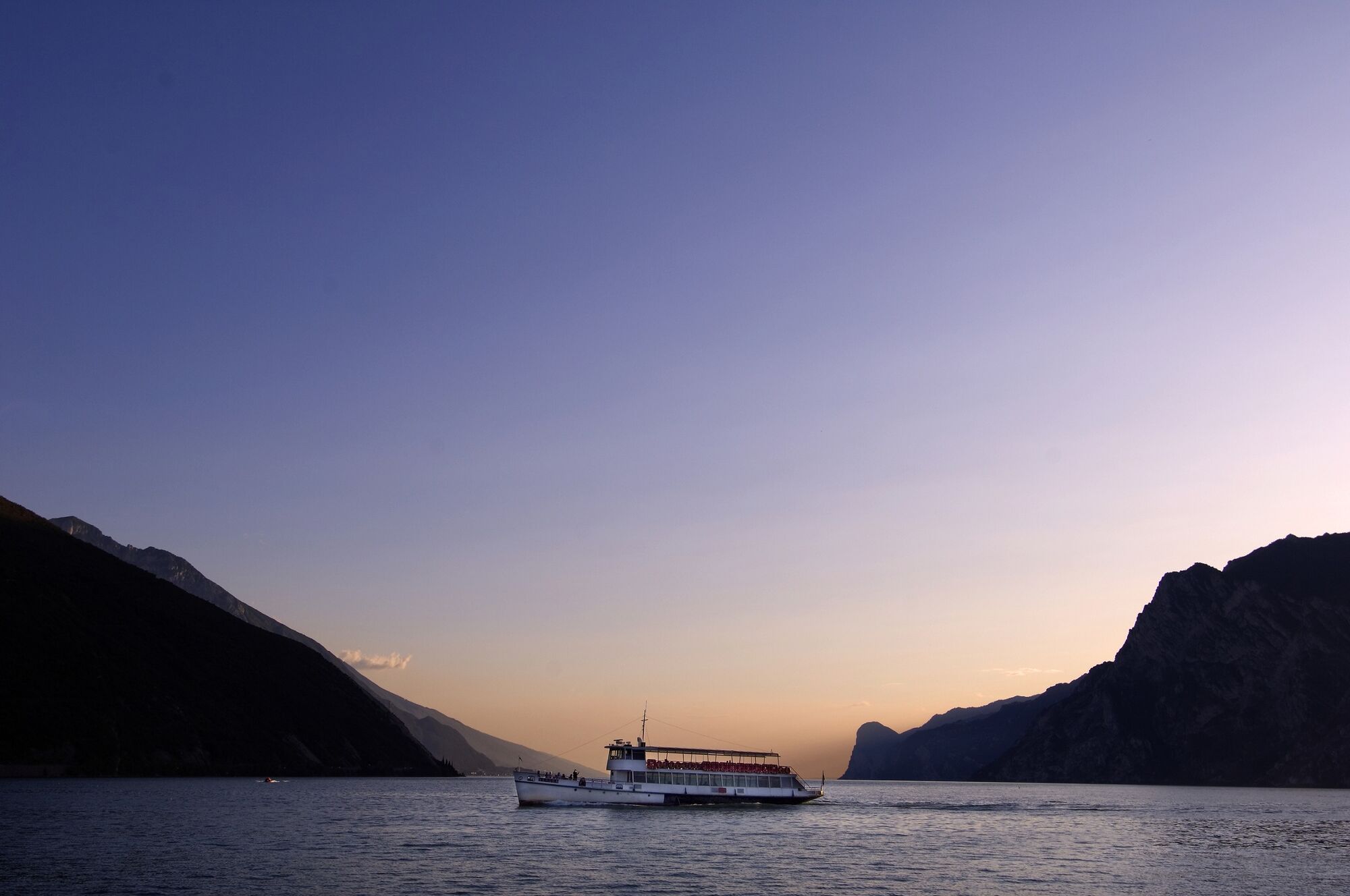
© North Lake Garda Trentino - Fototeca Trentino Marketing SpA

- Kratak opis
-
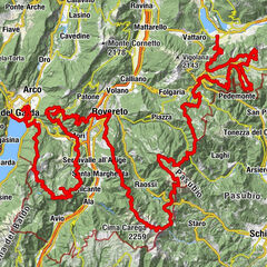
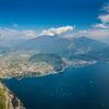
A breathtaking finale for the Top Loop of GardaTrek: take the cable car down to Monte Baldo and return by ferry to get back to where you started from.
- Teškoća
-
srednje
- Vrednovanje
-
- Wegverlauf
-
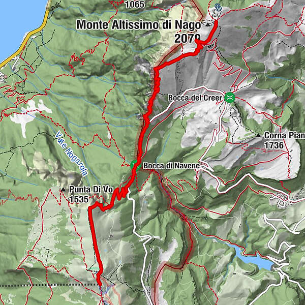
Busa Brodeghera (1.990 m)0,7 kmLa Capannina7,3 kmStazione Monte Baldo7,6 kmMonte Baldo (1.738 m)7,6 km
- Beste Jahreszeit
-
sijveljožutrasvilipsrpkolrujlisstupro
- Höchster Punkt
- 2.048 m
- Zielpunkt
-
Riva del Garda
- Höhenprofil
-
 © outdooractive.com
-
-
AutorDie Tour GardaTrek - Top Loop 7: Back to the water wird von outdooractive.com bereitgestellt.
GPS Downloads


Opće informacije
Einkehrmöglichkeit
Flora
Aussichtsreich
Weitere Touren in den Regionen
-
Gardasee / Lombardei
437
-
Garda Trentino
666
-
Malcesine
214