
- Kratak opis
-
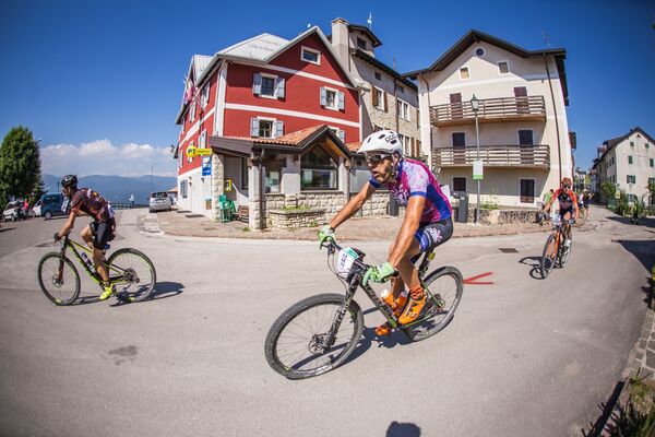
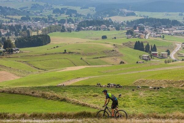
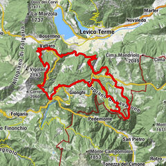
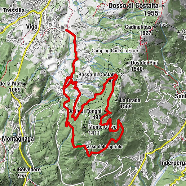
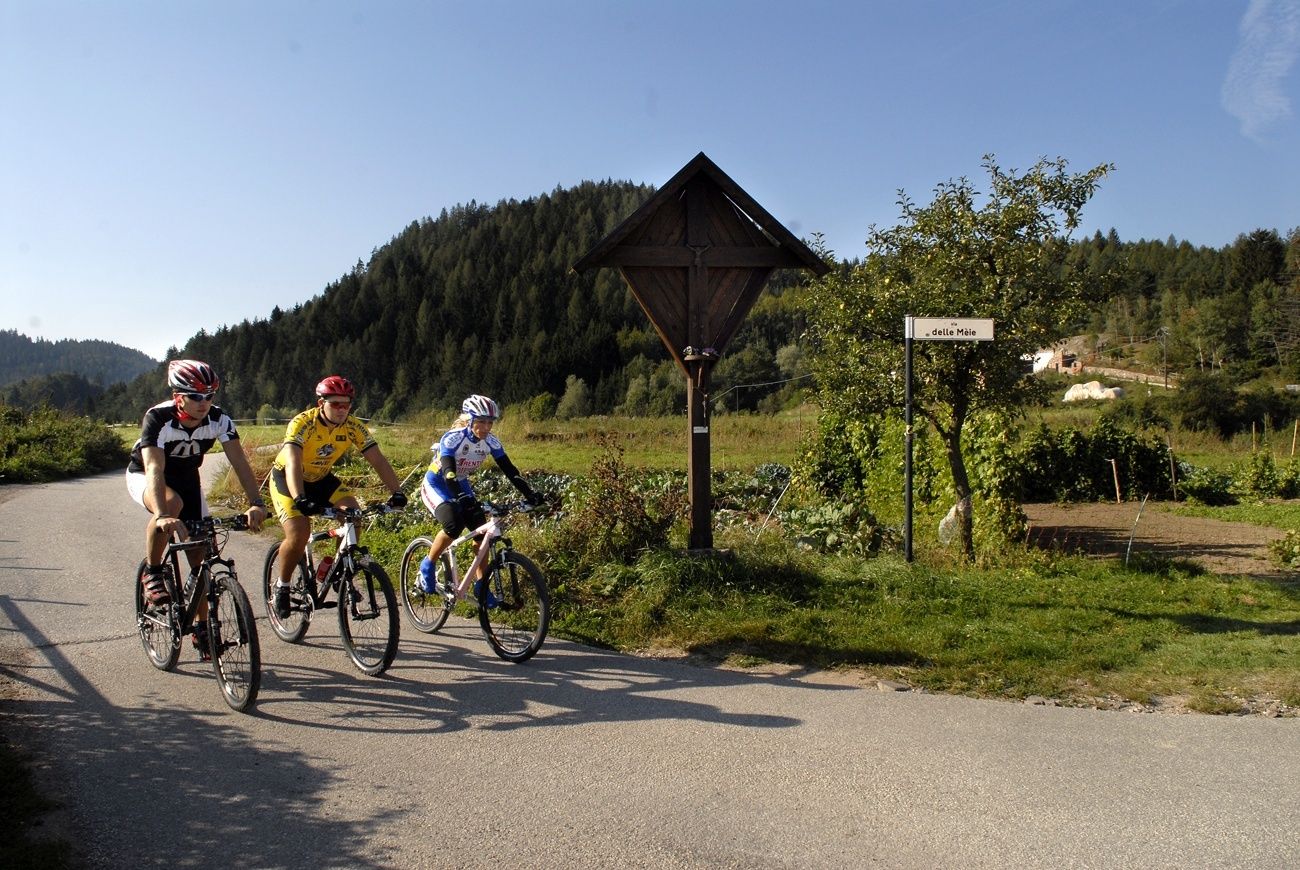
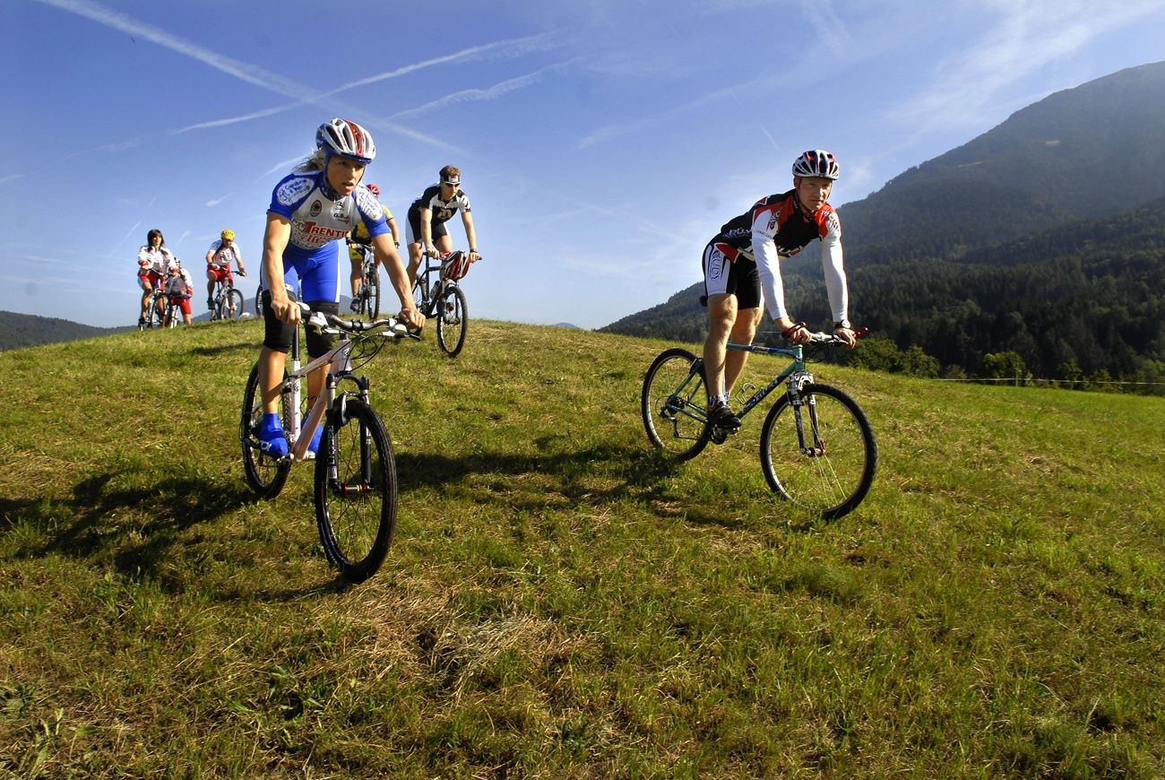
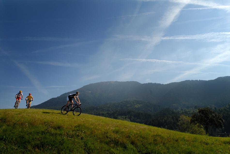
This route runs around Monte Calvo and across nice beech woods near Faida, just a few km from Baselga.
- Teškoća
-
srednje
- Vrednovanje
-
- Wegverlauf
-
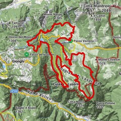
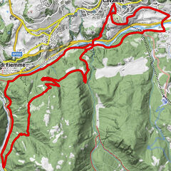
Palustela0,1 kmStabio0,2 kmRauta1,8 kmFaida2,1 kmParco giochi pubblico2,1 kmTofolini2,3 kmLaite del Sam3,1 kmSam3,5 kmDos del Dorigo (1.224 m)4,5 kmCostarefolo6,7 kmDos dei Fonghi (1.498 m)8,8 kmBusa dei Carli9,0 kmBosch negro9,6 kmMarigi de sora10,3 kmPrà de la mora10,4 kmGrave10,8 kmPra del Foo11,0 kmBusa dei Simoni11,3 kmMas dei Beti12,0 kmSora i pradi12,7 kmSode13,2 kmFratesele13,5 kmFaida14,0 kmRauta14,3 kmStabio15,8 kmPalustela16,0 km
- Beste Jahreszeit
-
sijveljožutrasvilipsrpkolrujlisstupro
- Höchster Punkt
- 1.509 m
- Zielpunkt
-
Miola
- Höhenprofil
-
 © outdooractive.com
- Autor
-
Die Tour Monte Calvo wird von outdooractive.com bereitgestellt.
GPS Downloads


Opće informacije
Flora
Fauna
Aussichtsreich
Weitere Touren in den Regionen