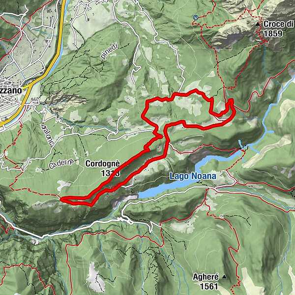
Scattered signs of rural activity among meadows and woods - Tour 2269

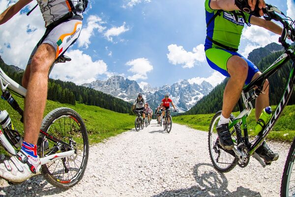
Mountainbike

Podaci o ruti
10,17km
1.112
- 1.304m
318hm
322hm
02:00h

- Kratak opis
-
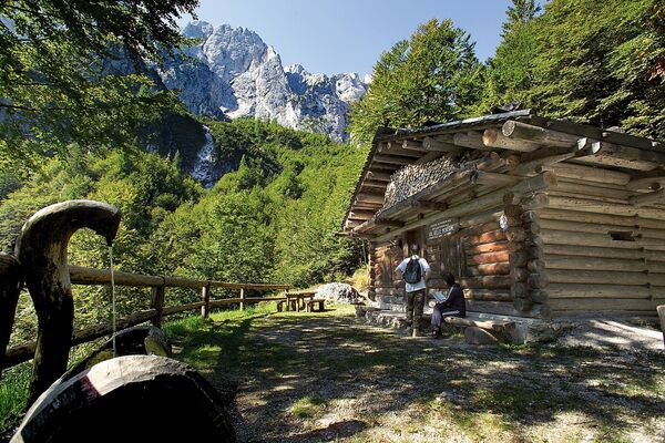
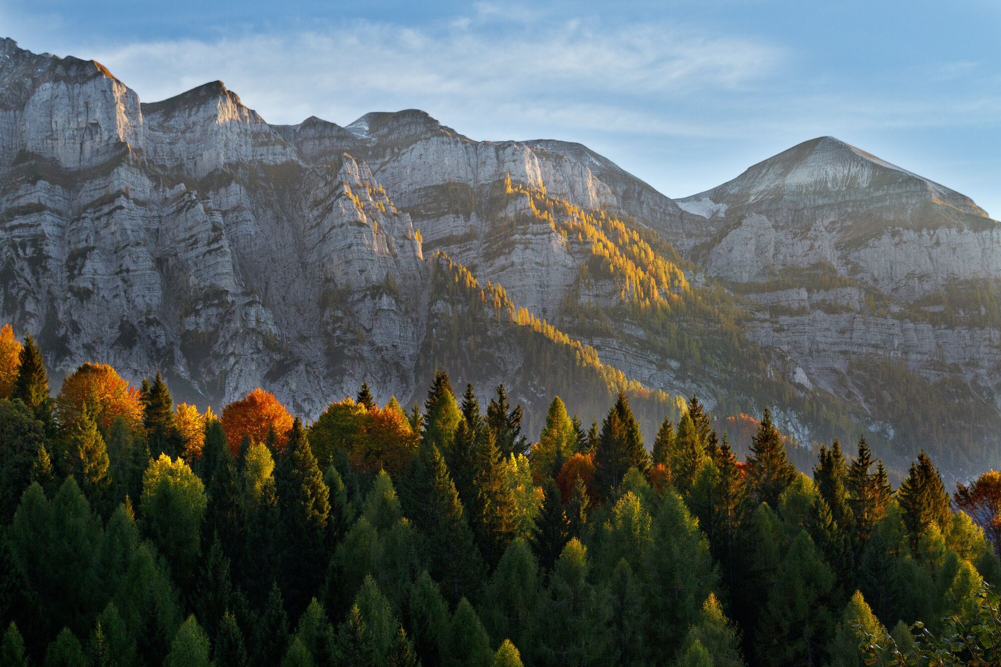
High altitude trail that starts and ends at Rifugio Caltena (1260 m a.s.l.), a hiking hut and excellent restaurant in an enchanting location, with a broad view of the Vette Feltrine mountain range.
- Teškoća
-
lagano
- Vrednovanje
-
- Wegverlauf
-
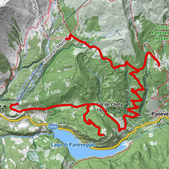
Caltene0,9 kmCordognè (1.313 m)6,2 kmRistorante Le Vale8,8 kmRifugio Caltena (1.265 m)10,1 km
- Beste Jahreszeit
-
sijveljožutrasvilipsrpkolrujlisstupro
- Höchster Punkt
- 1.304 m
- Zielpunkt
-
Rifugio Caltena
- Höhenprofil
-
 © outdooractive.com
-

-
AutorDie Tour Scattered signs of rural activity among meadows and woods - Tour 2269 wird von outdooractive.com bereitgestellt.
GPS Downloads


Putevi
Pokus
Opće informacije
Einkehrmöglichkeit
Aussichtsreich
Weitere Touren in den Regionen