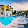
© Wanderhotels - Hotel Cristallo

© Wanderhotels - Hotel Cristallo

© Wanderhotels - Hotel Cristallo

© Unbekannt - Hotel Cristallo


- Teškoća
-
teška
- Vrednovanje
-
- Wegverlauf
-
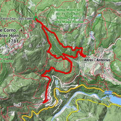
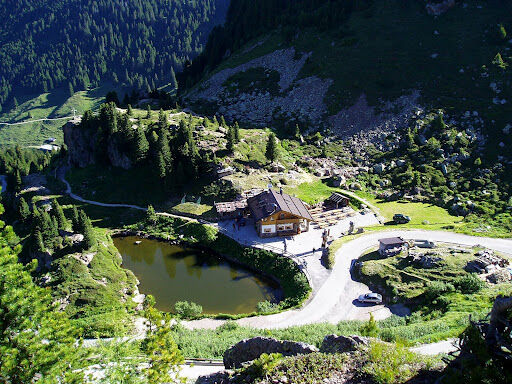
San Rocco0,3 kmBorgo Valsugana0,5 kmchiesa di San Francesco d'Assisi0,7 kmFratte (600 m)2,4 kmTelve di Sopra3,4 kmSan Giovanni Battista3,5 kmTolver3,9 kmParise (674 m)4,6 kmCampestrini (820 m)5,4 kmDonaelo (1.380 m)7,9 kmAl Laghetto8,6 kmRistorante al Laghetto8,6 kmMonte Salubio (1.886 m)11,3 kmForcella Lavoschio (1.750 m)12,2 kmSorgente acqua mora16,0 kmPasso Manghen (2.047 m)25,6 kmBaita Manghen Hütte25,8 km
- Beste Jahreszeit
-
sijveljožutrasvilipsrpkolrujlisstupro
- Höchster Punkt
- 2.090 m
- Zielpunkt
-
Der Manghenpass
- Höhenprofil
-
 © outdooractive.com
-
-
AutorDie Tour Borgo Valsugana - Der Manghenpass wird von outdooractive.com bereitgestellt.
GPS Downloads


Opće informacije
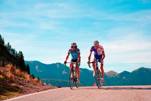
Aussichtsreich
Weitere Touren in den Regionen