Podaci o ruti
18,66km
772
- 999m
373hm
351hm
02:15h
- Kratak opis
-
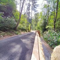
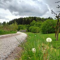
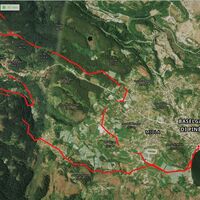
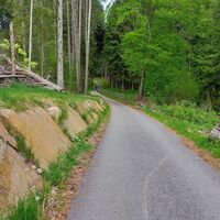
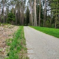
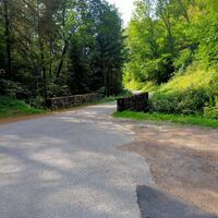
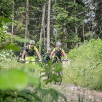
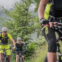
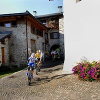
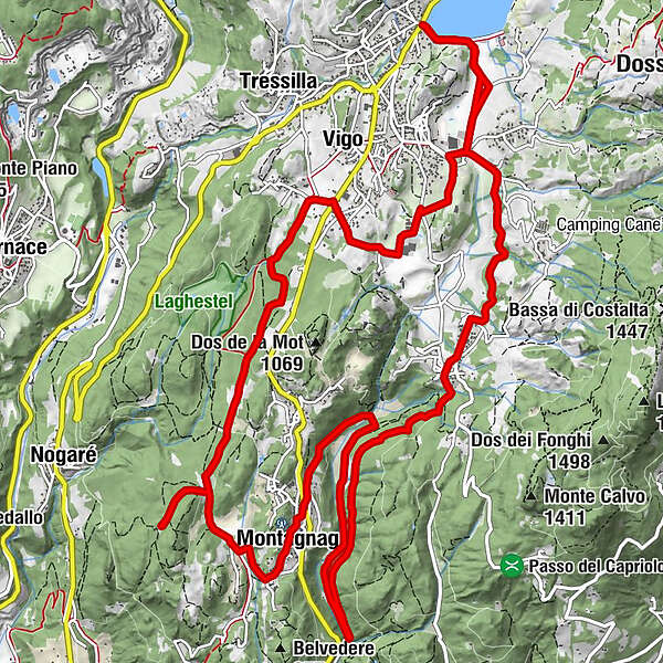
Ring route that connects the town of Baselga to Montagnaga, through a new cycle and pedestrian path: a tour suitable for everyone, that does not entail particular technical difficulties.
- Teškoća
-
lagano
- Vrednovanje
-
- Wegverlauf
-
Baselga di Piné0,0 kmSerraia0,0 kmSalarola0,3 kmLido0,4 kmGrauno0,8 kmMühlen im Pineid1,3 kmPalustela1,4 kmStabio1,6 kmRauta3,2 kmFaida3,6 kmFontanele3,7 kmMasera3,8 kmCuni3,9 kmRonchi4,0 kmBoscati4,3 kmVal Alta4,4 kmValle8,0 kmErla9,0 kmErspan9,6 kmCa'dei Boci9,7 kmMontagnaga (882 m)9,8 kmFregolotti9,9 kmPizzeria Lanterna - Brew and Pub10,1 kmLita10,3 kmMeiel10,8 kmQuarta comparsa11,7 kmBisel (912 m)12,2 kmMorof (912 m)12,3 kmVigo15,2 kmLe Meie16,1 kmMühlen im Pineid17,0 kmPalustela17,2 kmGrauno17,6 kmLido18,2 kmSalarola18,3 kmBaselga di Piné18,6 kmSerraia18,6 km
- Beste Jahreszeit
-
sijveljožutrasvilipsrpkolrujlisstupro
- Höchster Punkt
- 999 m
- Zielpunkt
-
Serraia Lake
- Höhenprofil
-
© outdooractive.com
- Autor
-
Die Tour On the cycle path from Baselga to Montagnaga wird von outdooractive.com bereitgestellt.
GPS Downloads
Opće informacije
Kulturell/Historisch
Flora
Fauna
Weitere Touren in den Regionen


