© APT - Valsugana e Lagorai - APT Valsugana

- Kratak opis
-
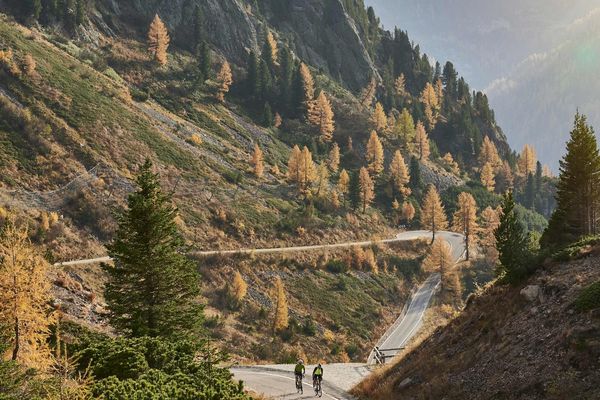
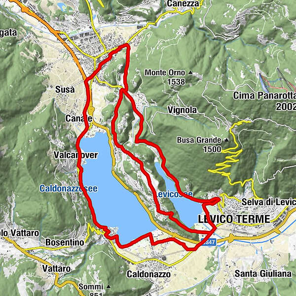
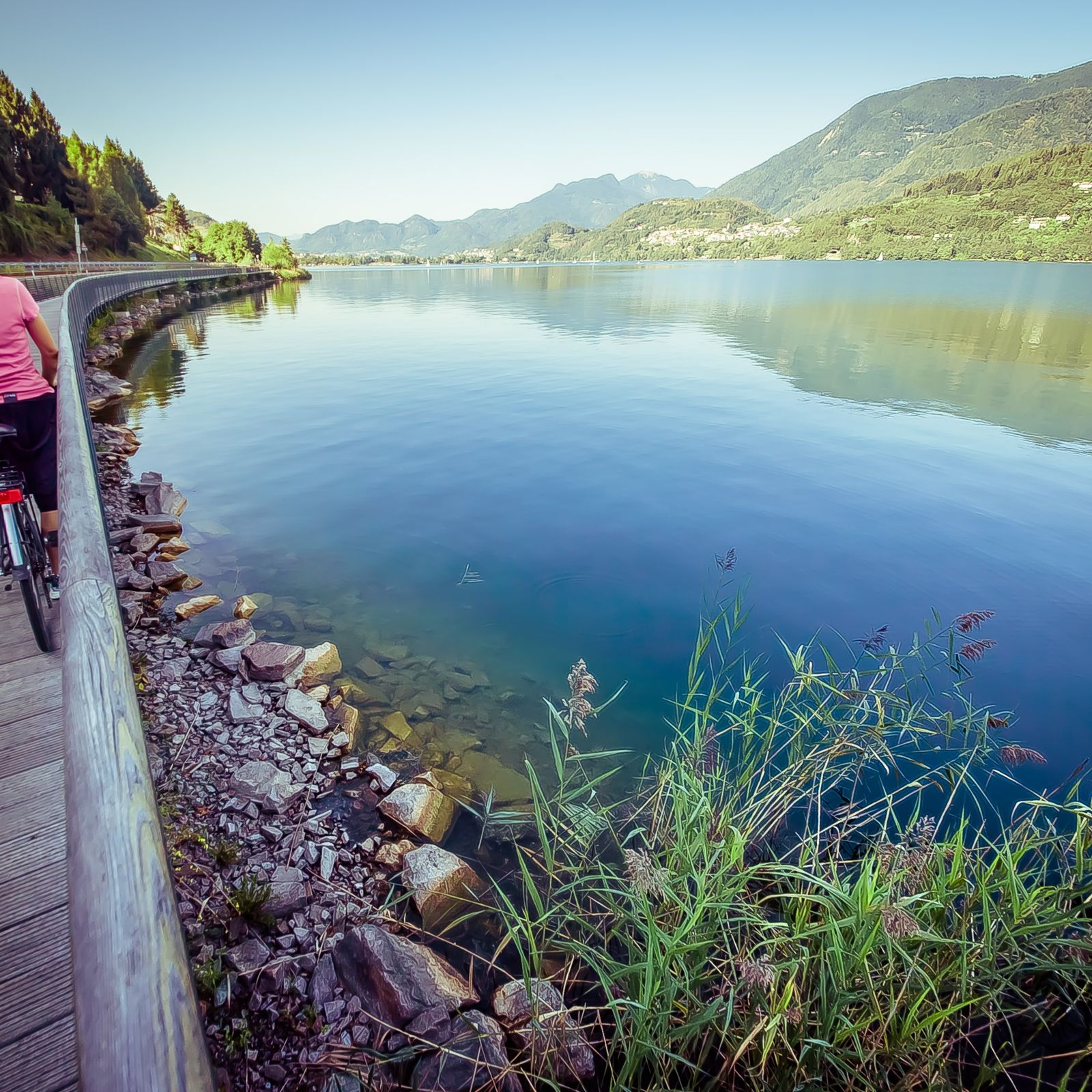
Easy route, which allows you to admire the landscapes of the lakes of Levico and Caldonazzo, passing through the history of Castel Pergine and the apple orchards of Colle di Tenna
- Teškoća
-
lagano
- Vrednovanje
-
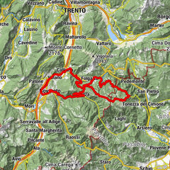
- Wegverlauf
-
Levico Terme0,4 kmPaluda del Baruchèl5,0 kmVisintainer5,6 kmMasetti8,2 kmZivignago10,1 kmPergine Valsugana11,4 kmAngi13,3 kmSan Cristoforo al Lago - Ischia13,8 kmCanale13,8 kmSan Cristoforo al Lago14,3 kmGiropizza VIP15,3 kmValcanover15,5 kmRistorante Valcanover15,7 kmMaso Osler15,8 kmBinario 79 - Da Ciolda16,1 kmRistorante-Pizzeria HAPPY DAYS17,2 kmCalceranica18,3 kmAltalena18,6 kmArea giochi18,6 kmCalceranica al Lago19,0 kmEnergy Hotel19,1 kmCosta23,4 kmLevico Terme23,9 kmVeg. Point26,4 kmTenna26,7 kmIschia29,2 kmPozza30,5 kmMasetti31,4 kmPergine Valsugana31,4 km
- Beste Jahreszeit
-
sijveljožutrasvilipsrpkolrujlisstupro
- Höchster Punkt
- 631 m
- Zielpunkt
-
Levico Terme
- Höhenprofil
-
 © outdooractive.com
- Autor
-
Die Tour Roadbike - Lakes Levico and Caldonazzo - and Tenna Hill wird von outdooractive.com bereitgestellt.
GPS Downloads


Opće informacije
Einkehrmöglichkeit
Kulturell/Historisch
Flora
Aussichtsreich
Weitere Touren in den Regionen