© APT - Valsugana e Lagorai - Omar Ropelato
© APT - Valsugana e Lagorai - Stefano Petri (da Wikimedia)
© APT - Valsugana e Lagorai - Stefano Petri (commons.wikimedia.org)
© APT - Valsugana e Lagorai - Stefano Petri (commons.wikimedia.org)

- Kratak opis
-
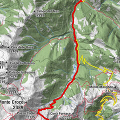
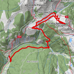
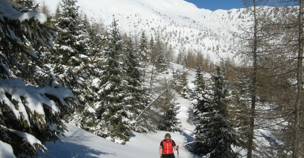
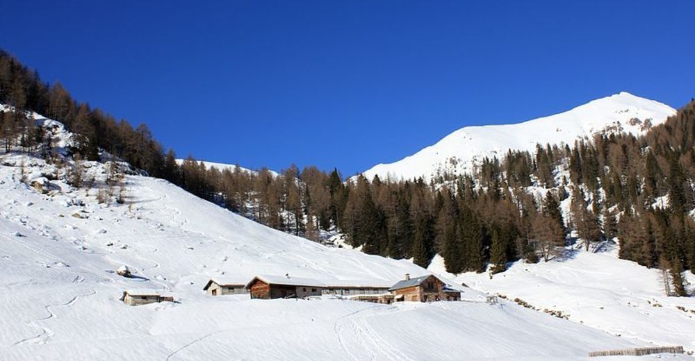
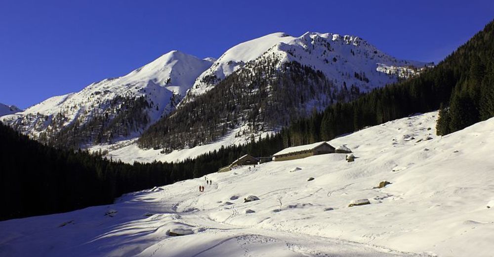
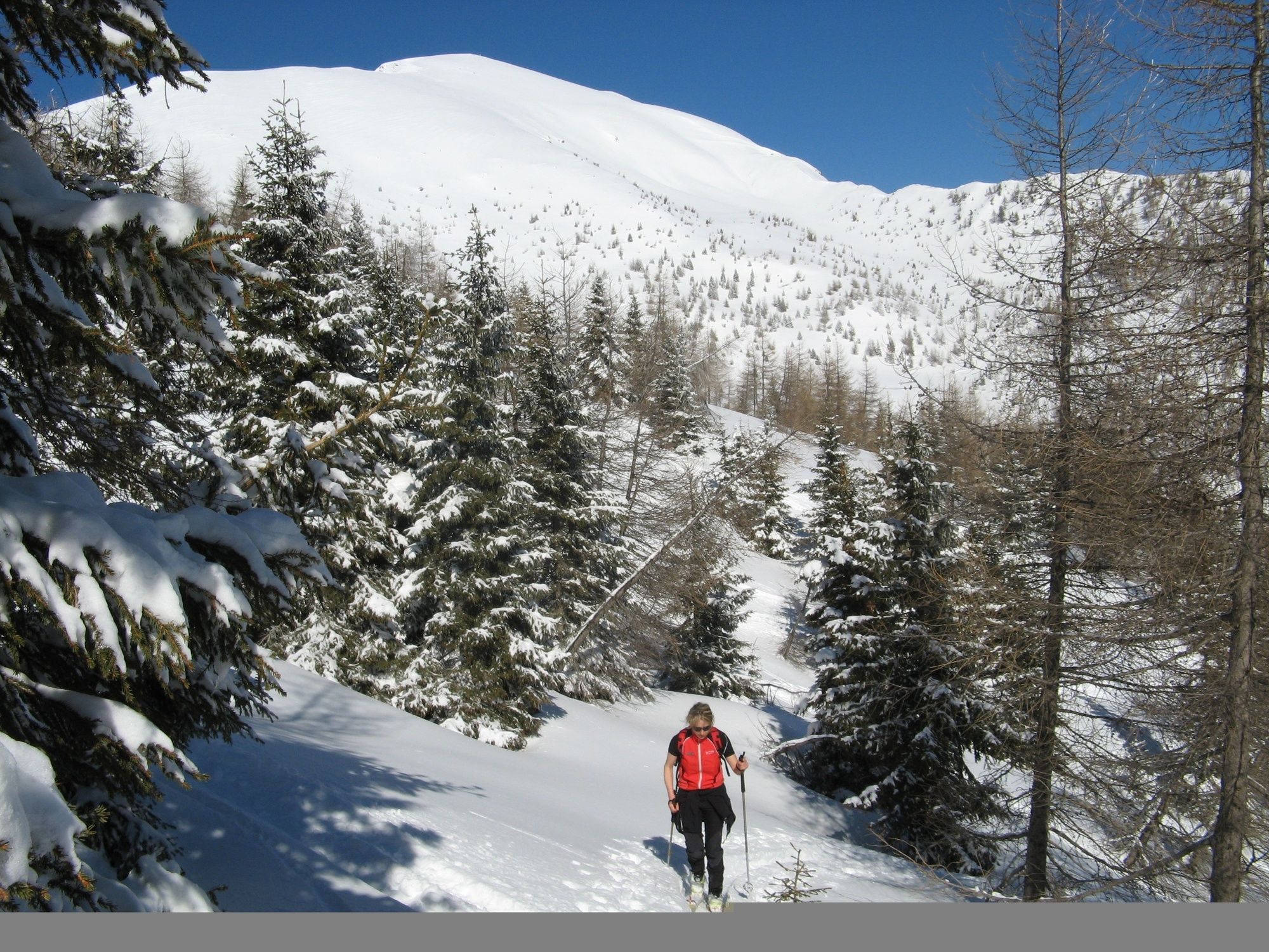
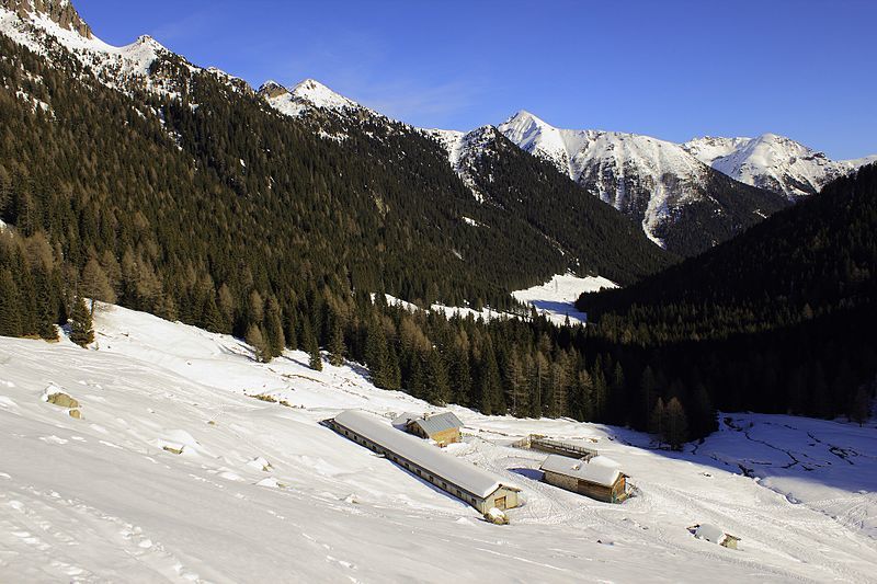
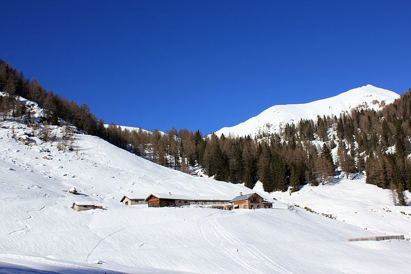
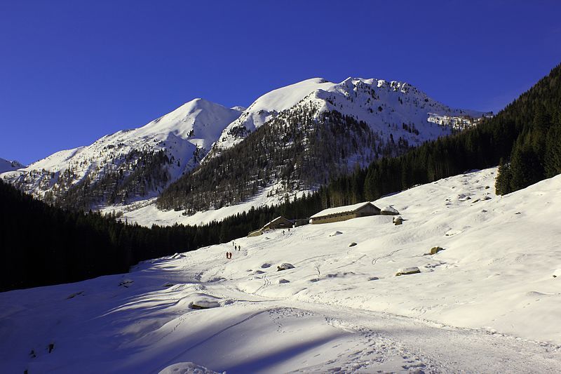
The woods that frame the road that crosses Val Cagnon, become a fairy tale-like scenario when the it starts snowing. This itinerary is feasible both with snowshoes and skis and isn’t difficult, given the gentle incline of the whole path.
- Teškoća
-
lagano
- Vrednovanje
-
- Wegverlauf
-
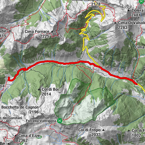
Malga Baessa0,0 kmBaessa (1.310 m)0,0 kmValtrighetta1,5 kmMalga Cagnon di Sotto5,5 kmMalga Baessa11,0 kmBaessa (1.310 m)11,0 km
- Beste Jahreszeit
-
kolrujlisstuprosijveljožutrasvilipsrp
- Höchster Punkt
- 1.712 m
- Zielpunkt
-
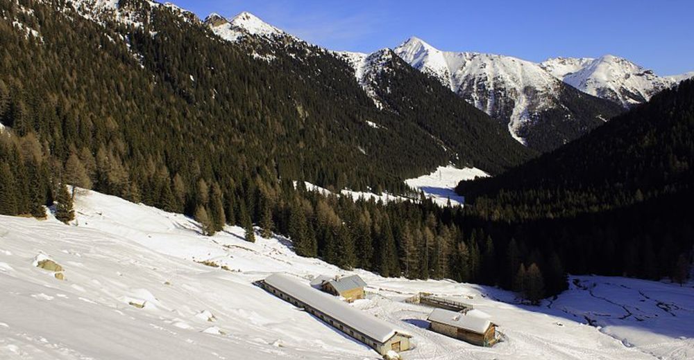
Malga Baessa parking lot
- Exposition
- Höhenprofil
-
 © outdooractive.com
-
-
AutorDie Tour Back-country skiing - Malga Cagnon wird von outdooractive.com bereitgestellt.
GPS Downloads


Opće informacije
Aussichtsreich
Weitere Touren in den Regionen