© APT - Valli di Sole, Peio e Rabbi - Ph Guide Alpine Val di Sole

© APT - Valli di Sole, Peio e Rabbi - Ph Guide Alpine Val di Sole

© APT - Valli di Sole, Peio e Rabbi - Ph Guide Alpine Val di Sole

© APT - Valli di Sole, Peio e Rabbi - Ph Guide Alpine Val di Sole

© APT - Valli di Sole, Peio e Rabbi - Ph Guide Alpine Val di Sole

© APT - Valli di Sole, Peio e Rabbi - Ph Guide Alpine Val di Sole

© APT - Valli di Sole, Peio e Rabbi - Ph Guide Alpine Val di Sole

© APT - Valli di Sole, Peio e Rabbi - Ph Guide Alpine Val di Sole

© APT - Valli di Sole, Peio e Rabbi - Ph Mochen Tiziano

© APT - Valli di Sole, Peio e Rabbi - Ph Guide Alpine Val di Sole

- Kratak opis
-
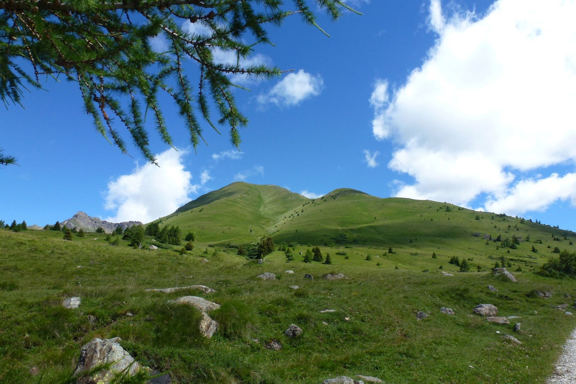
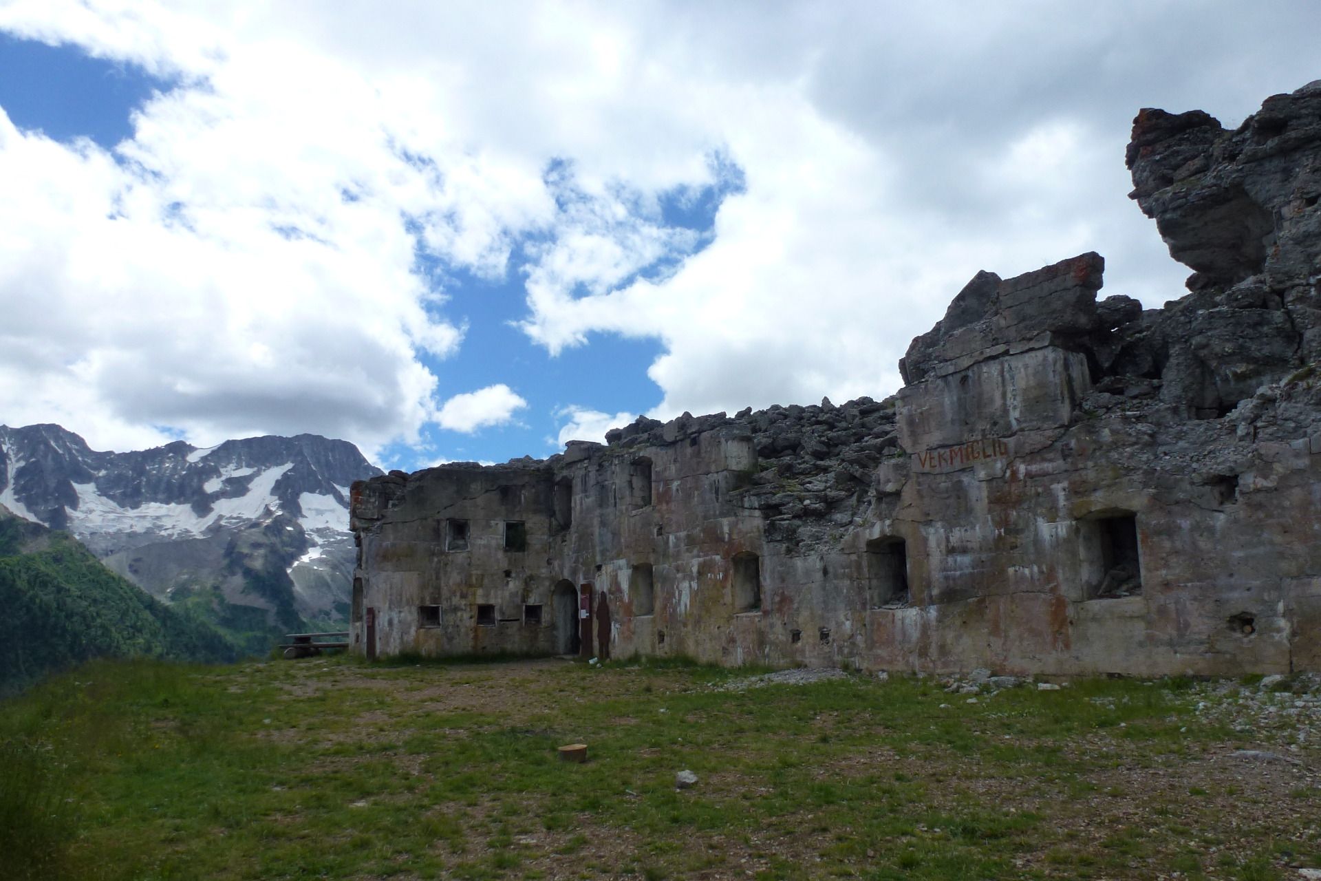
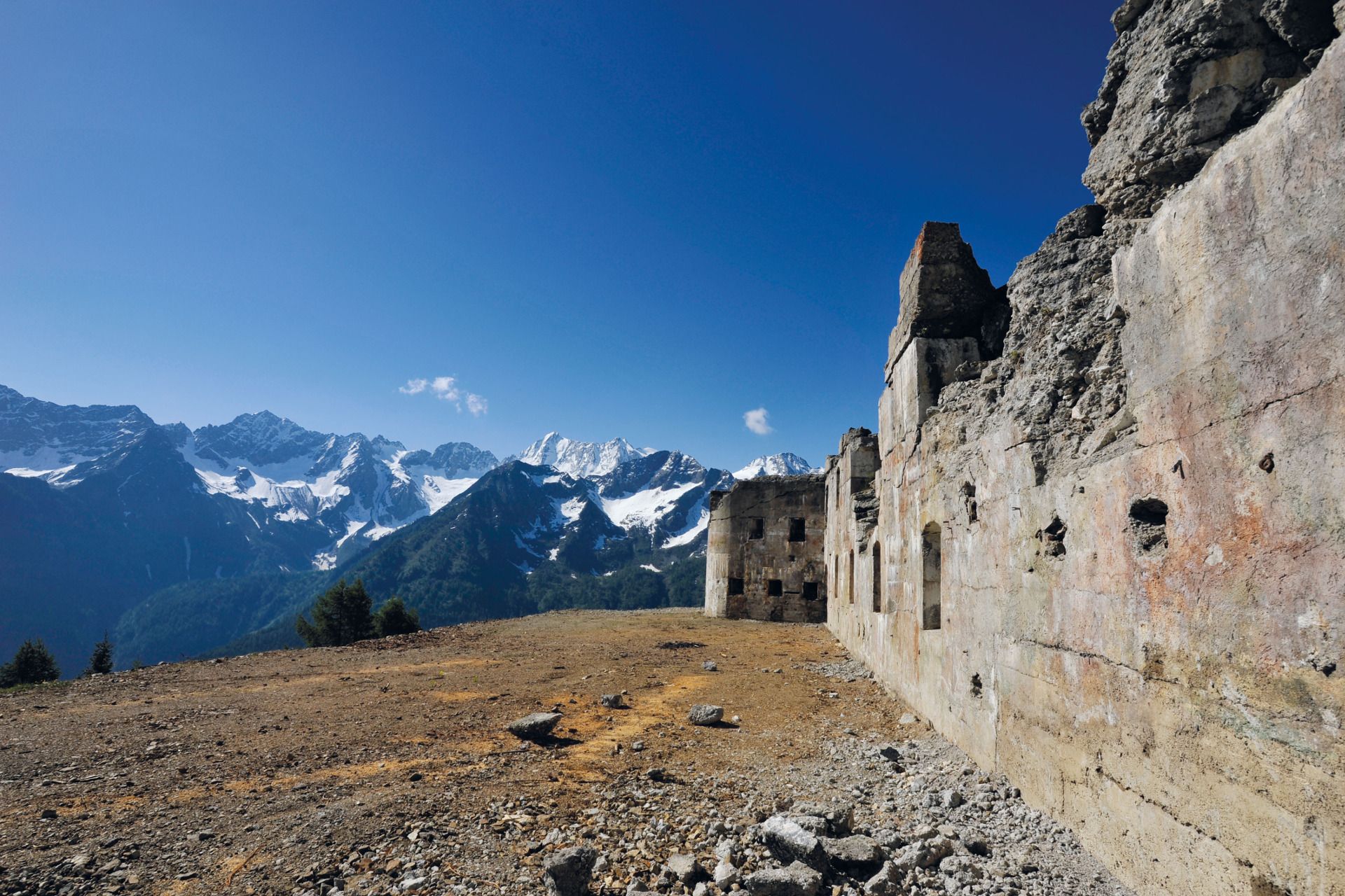
This itinerary takes place on the paths, walkways and fortifications of the Great War, and includes the Città Morta (The dead city) an Austrian military village at high altitude.
- Teškoća
-
srednje
- Vrednovanje
-
- Wegverlauf
-
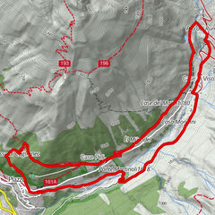
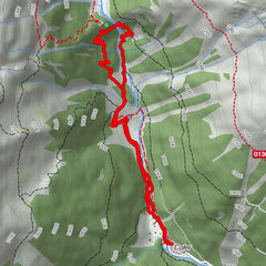
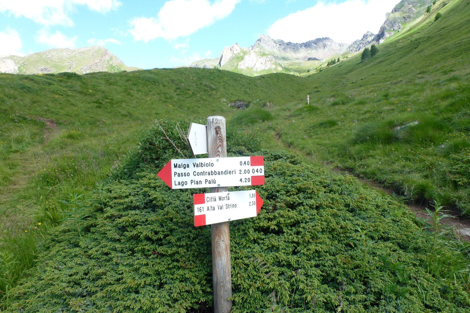
Chiesa di San BartolomeoEx Ospizio S. BartolomeoCittà morta4,8 km
- Beste Jahreszeit
-
sijveljožutrasvilipsrpkolrujlisstupro
- Höchster Punkt
- 2.664 m
- Zielpunkt
-
Monte Tonale Orientale
- Höhenprofil
-
 © outdooractive.com

- Autor
-
Die Tour Monte Tonale Orientale wird von outdooractive.com bereitgestellt.
GPS Downloads


Opće informacije
Kulturell/Historisch
Fauna
Aussichtsreich
Weitere Touren in den Regionen