© APT - Valsugana e Lagorai - visittrentino

© APT - Valsugana e Lagorai - visit trentino

© APT - Valsugana e Lagorai - visit trentino

© APT - Valsugana e Lagorai - visit trentino

© APT - Valsugana e Lagorai - visit trentino

© APT - Valsugana e Lagorai - visit trentino

© APT - Valsugana e Lagorai - visit trentino

© APT - Valsugana e Lagorai - visit trentino

- Kratak opis
-
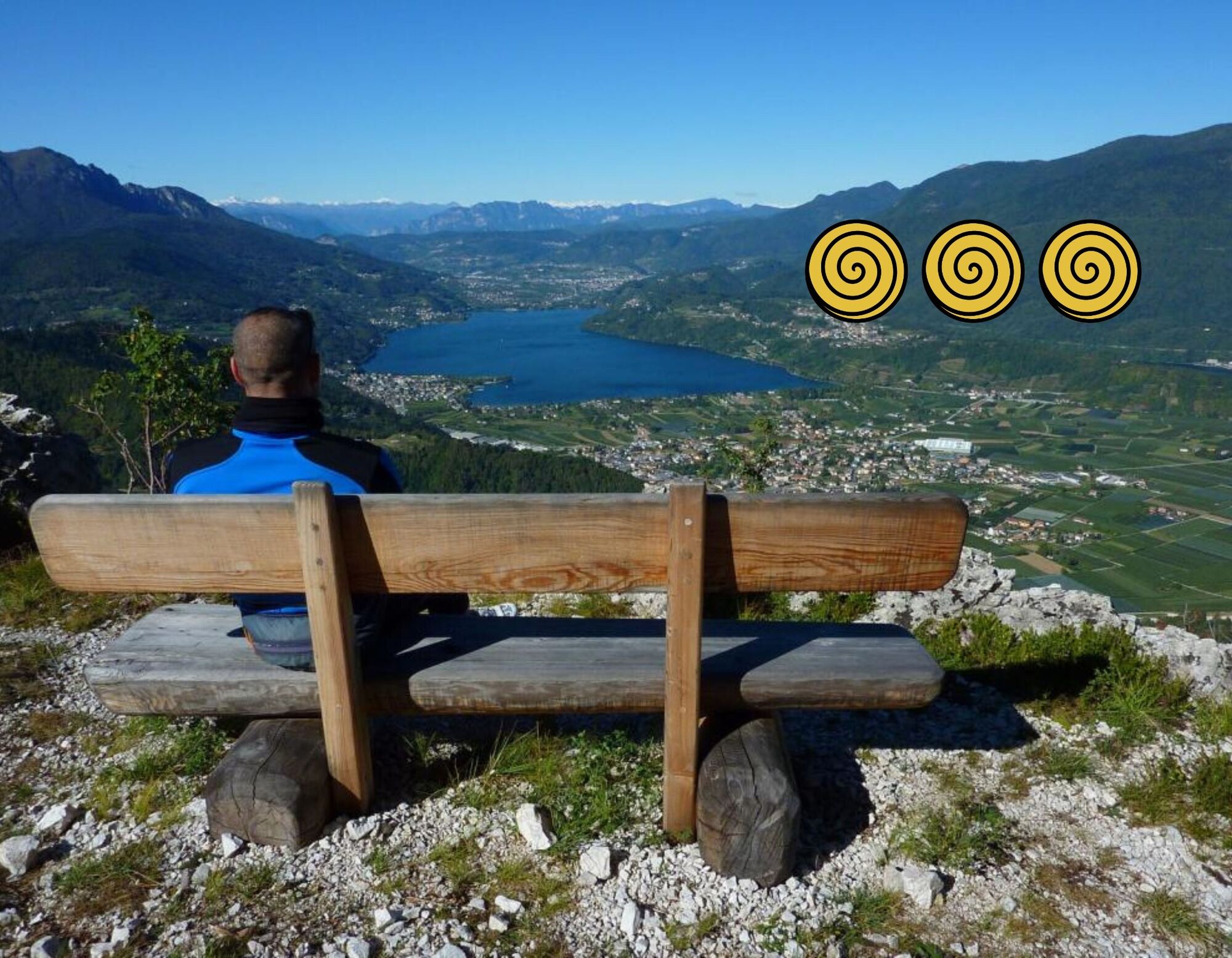
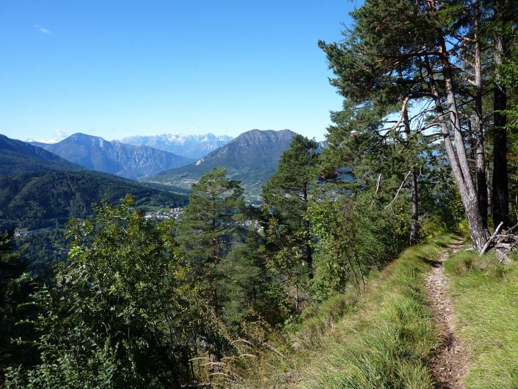
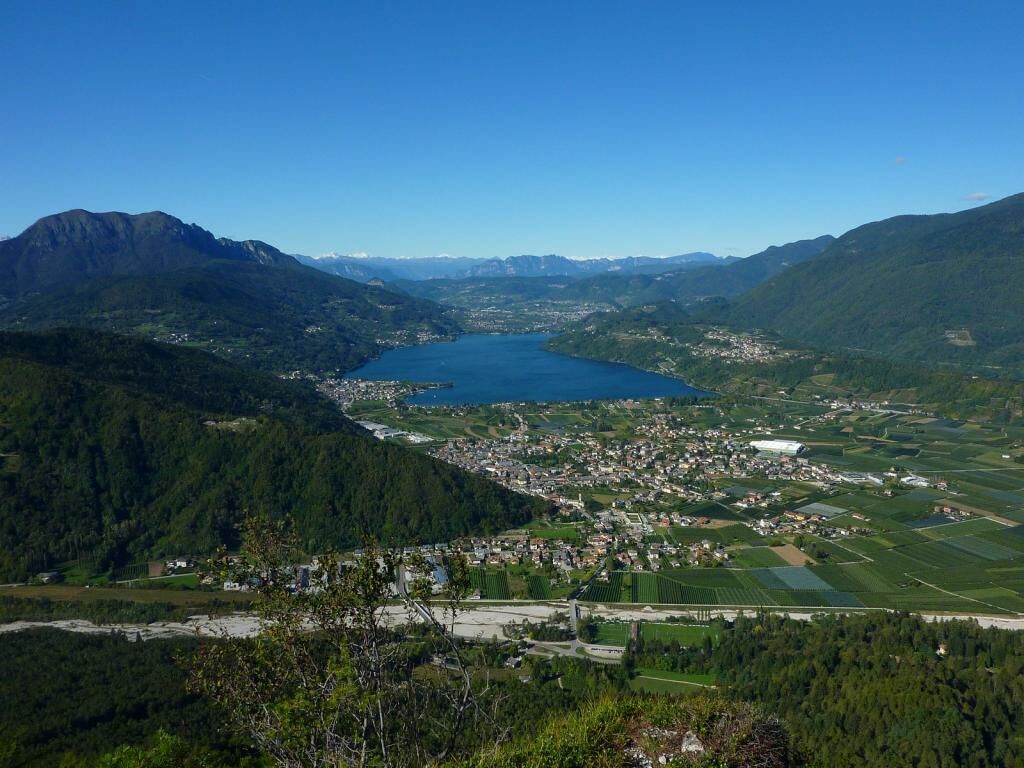
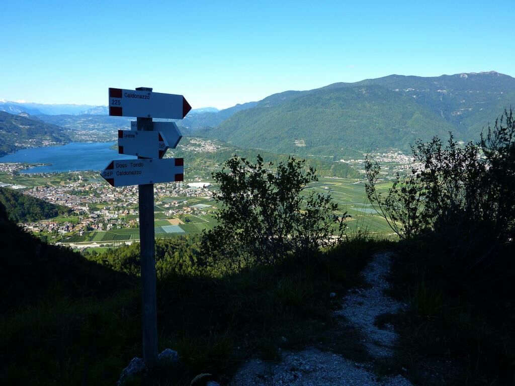
Hike to Mount Cimone amidst fresh woods and beautiful views of the Valsugana and Lake Caldonazzo
- Teškoća
-
srednje
- Vrednovanje
-
- Wegverlauf
-
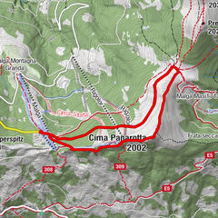
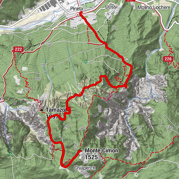
La Pineta0,0 kmMonte Cimon (1.525 m)4,9 kmLa Pineta9,9 km
- Beste Jahreszeit
-
sijveljožutrasvilipsrpkolrujlisstupro
- Höchster Punkt
- 1.518 m
- Zielpunkt
-
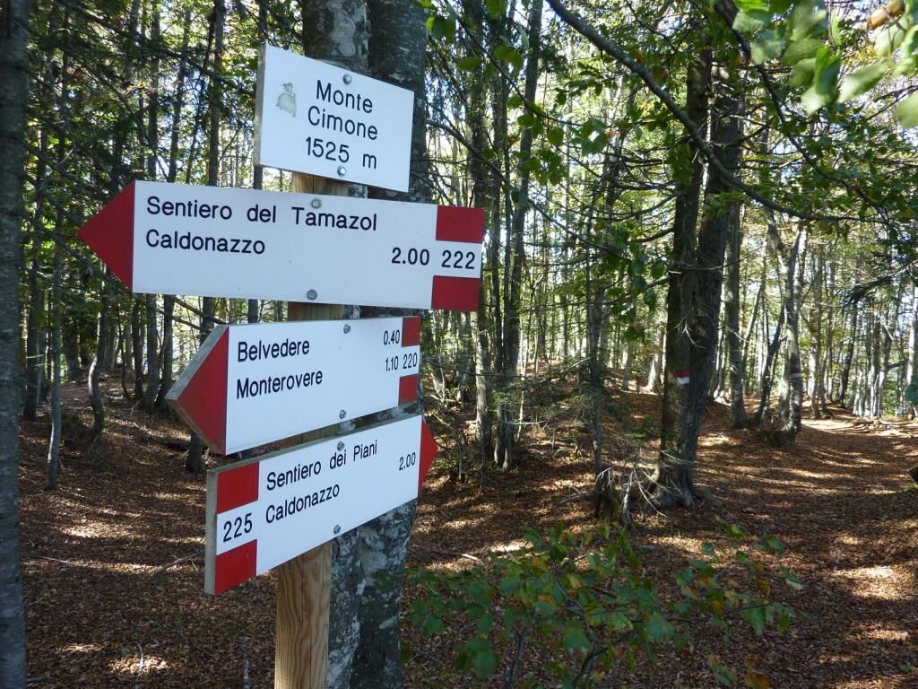
Monte Cimone (1525 m)
- Höhenprofil
-
 © outdooractive.com


-

-
AutorDie Tour Trek ring to Monte Cimone wird von outdooractive.com bereitgestellt.
GPS Downloads


Opće informacije
Heilklima
Geheimtipp
Flora
Aussichtsreich
Weitere Touren in den Regionen