© Omar Ropelato

© Omar Ropelato

© Omar Ropelato

© Omar Ropelato

- Kratak opis
-
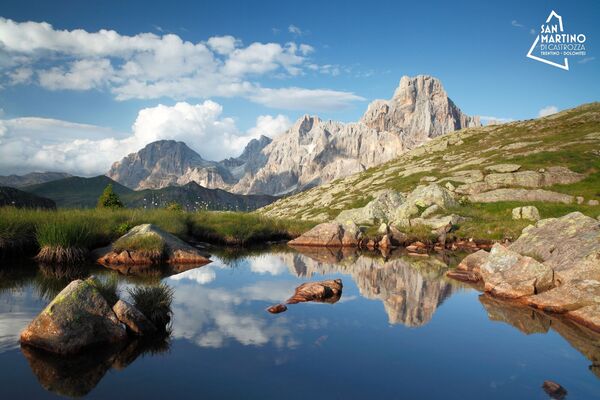
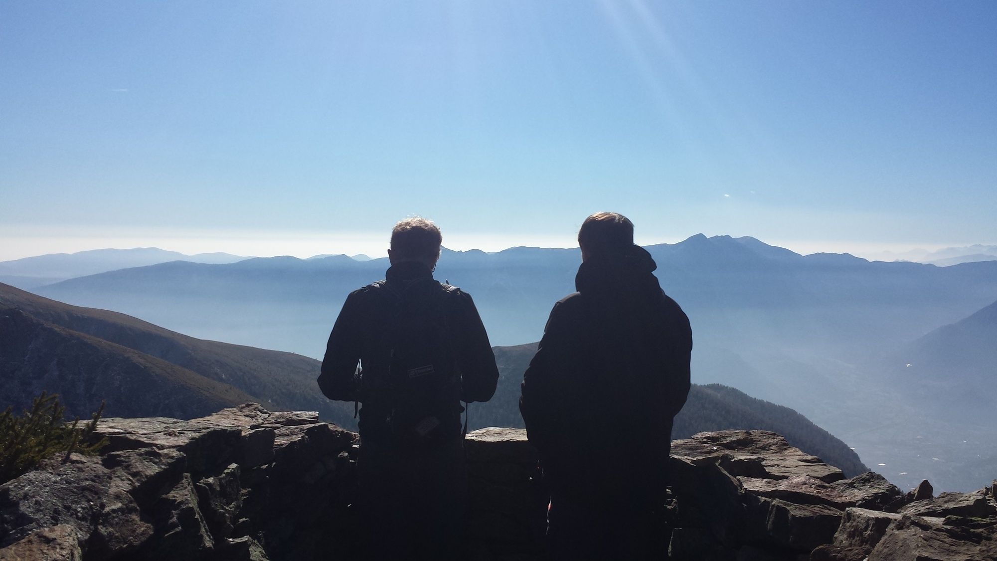
It is a hike that mixes nature and culture in an uncontaminated environment.
- Teškoća
-
srednje
- Vrednovanje
-
- Wegverlauf
-
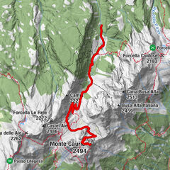
Cenon di sopra (1.550 m)0,8 kmValdeprà2,8 kmchiesa dei Santi Bartolomeo e Lorenzo4,1 kmAia Patissi6,0 kmCenon Basso6,5 kmMonte Cenon (2.278 m)7,0 kmBivacco Tadina7,7 kmForcella Tavarade (2.190 m)8,2 kmchiesa dei Santi Bartolomeo e Lorenzo10,4 kmValdeprà11,8 kmCenon di sopra (1.550 m)13,7 km
- Beste Jahreszeit
-
sijveljožutrasvilipsrpkolrujlisstupro
- Höchster Punkt
- 2.294 m
- Zielpunkt
-
Rudole bridge
- Höhenprofil
-
 © outdooractive.com
-

-
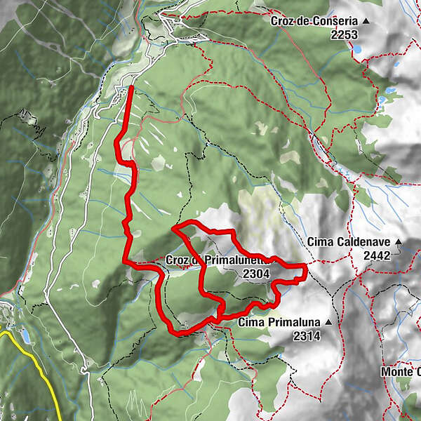
AutorDie Tour Hiking trail - Croz di Primalunetta wird von outdooractive.com bereitgestellt.
GPS Downloads


Opće informacije
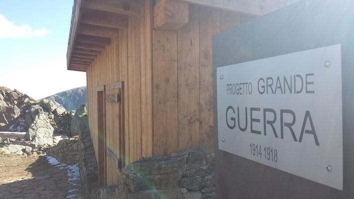
Kulturell/Historisch
Geheimtipp
Flora
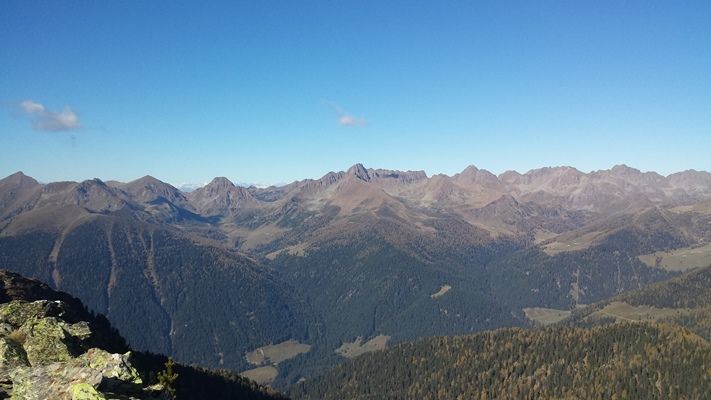
Aussichtsreich
Weitere Touren in den Regionen