© Rovereto Vallagarina e Monte Baldo - Apt Rovereto Vallagarina e Monte Baldo

© Rovereto Vallagarina e Monte Baldo - Apt Rovereto Vallagarina e Monte Baldo

© Rovereto Vallagarina e Monte Baldo - Apt Rovereto Vallagarina e Monte Baldo

© Rovereto Vallagarina e Monte Baldo - Apt Rovereto Vallagarina e Monte Baldo

© Rovereto Vallagarina e Monte Baldo - Apt Rovereto Vallagarina e Monte Baldo

© Rovereto Vallagarina e Monte Baldo - Apt Rovereto Vallagarina e Monte Baldo

- Kratak opis
-
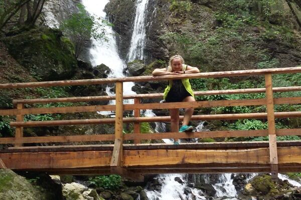
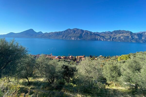
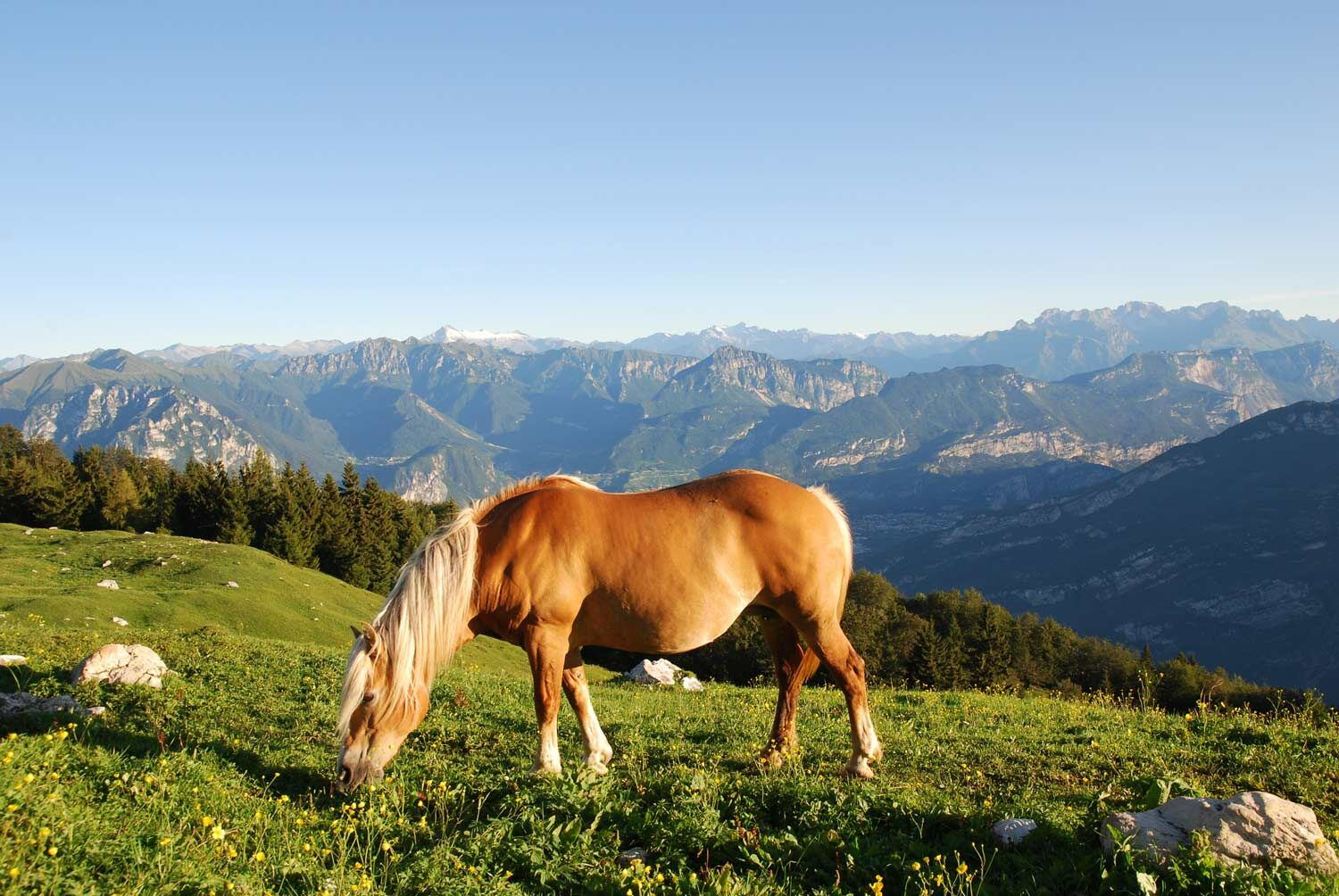
Orchids, lilies and gentians in the wildest part of Monte Baldo
- Teškoća
-
srednje
- Vrednovanje
-
- Wegverlauf
-
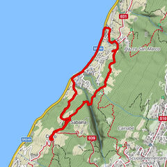
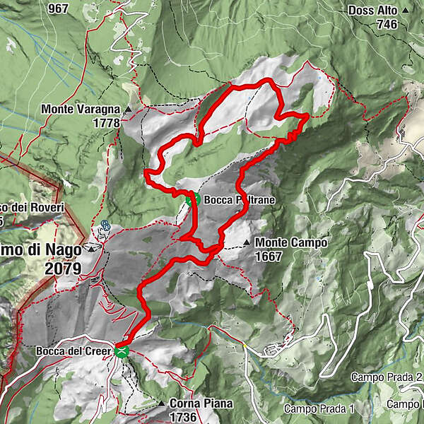
Rifugio Graziani0,0 kmAbisso di Val del Parol4,9 kmVal del Parol5,4 kmRifugio Malga Campei7,0 kmMalga Campo10,5 km
- Beste Jahreszeit
-
sijveljožutrasvilipsrpkolrujlisstupro
- Höchster Punkt
- 1.821 m
- Zielpunkt
-
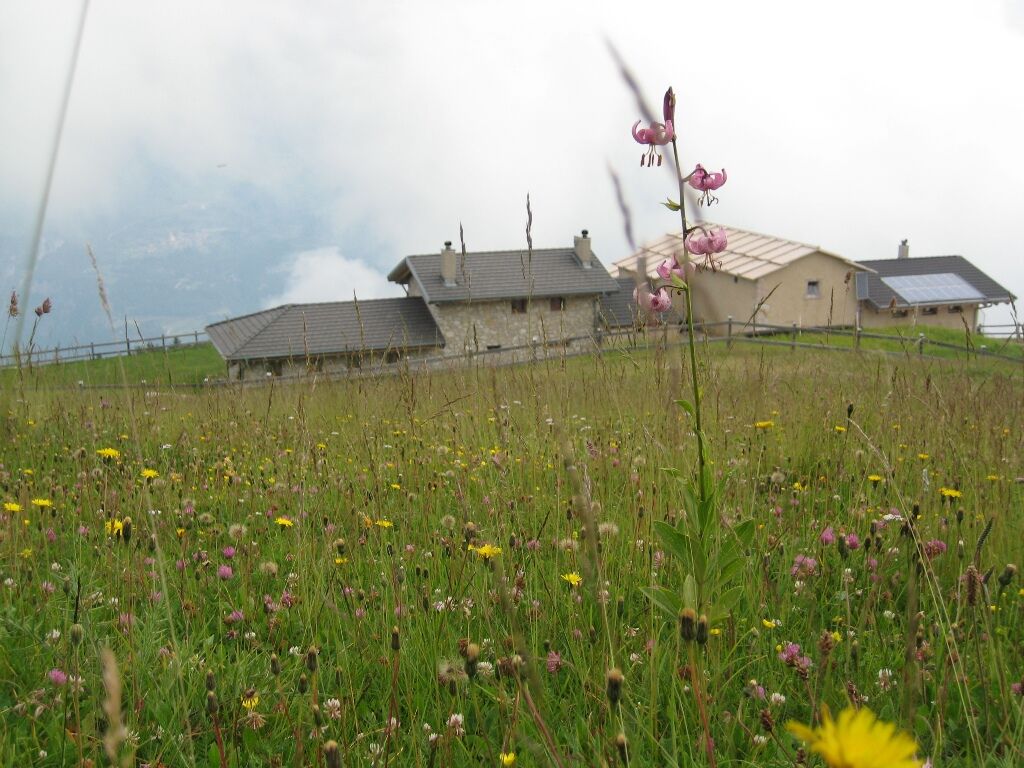
Malga Campei
- Höhenprofil
-
 © outdooractive.com

-

-
AutorDie Tour Hike to “Val del Parol” wird von outdooractive.com bereitgestellt.
GPS Downloads


Opće informacije
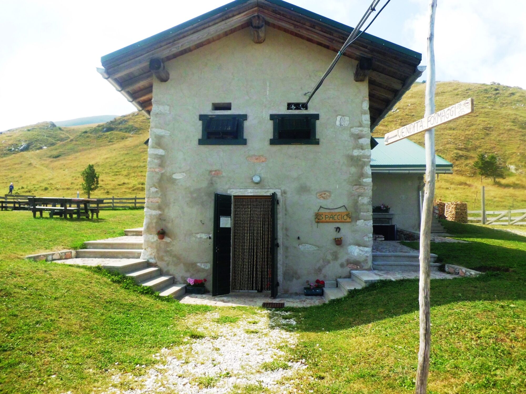
Einkehrmöglichkeit
Flora
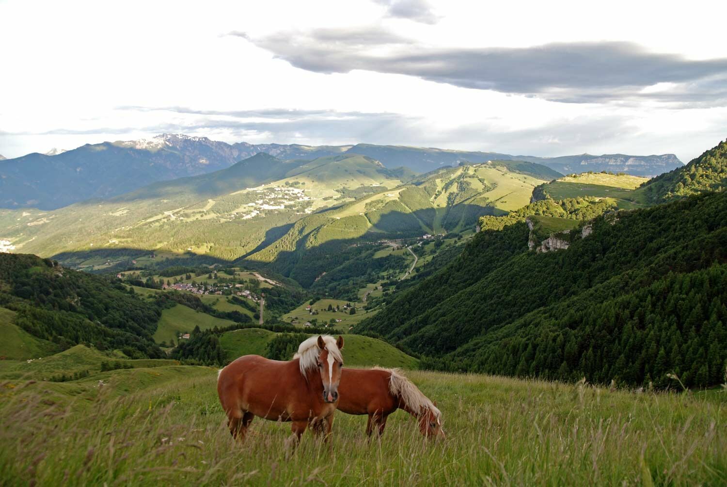
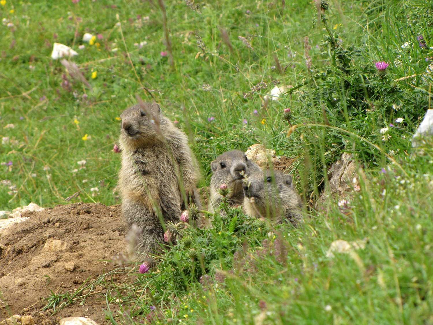
Fauna
Aussichtsreich
Weitere Touren in den Regionen