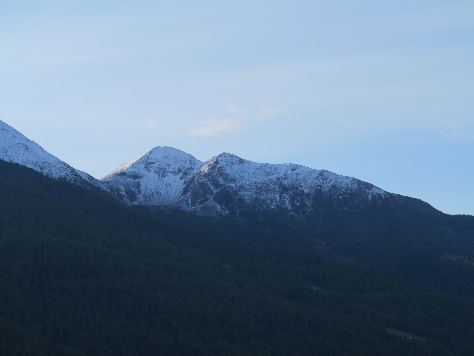
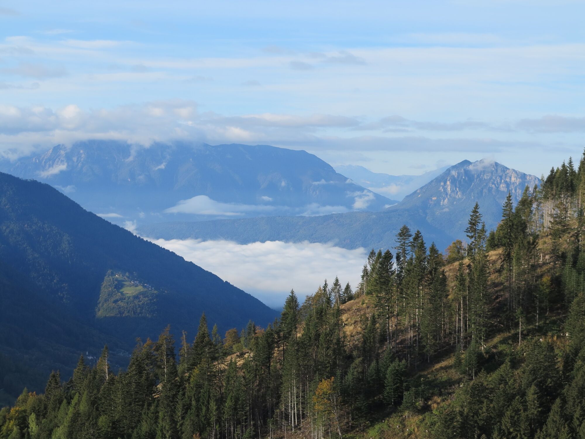
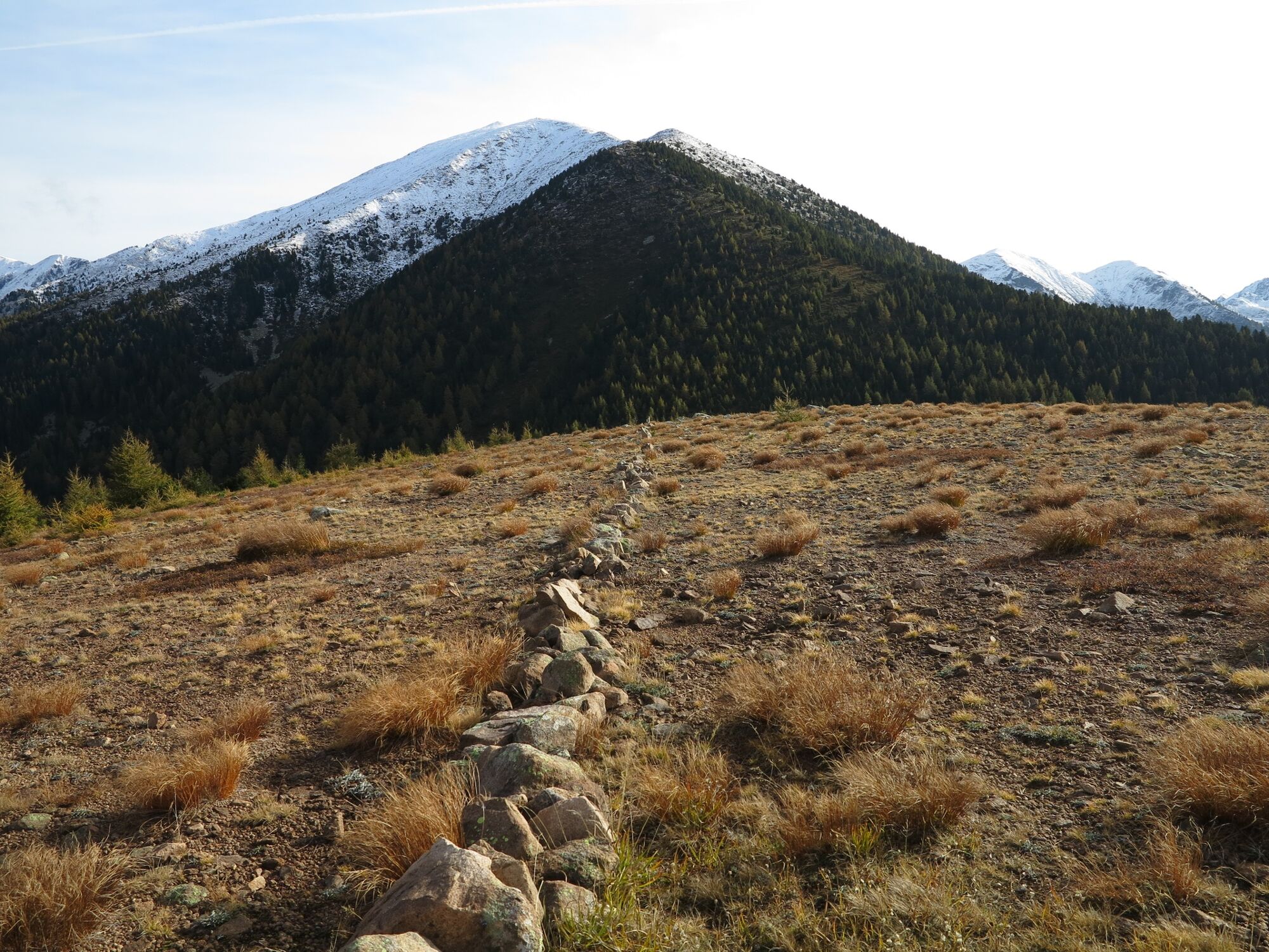
Trekking at Cima Pontara - Lemperperg: mountain between Pinè Plateau and Mòcheni Valley


© APT Trento - Federico Monegatti

© APT Trento - Federico Monegatti

© APT Trento - Federico Monegatti

© APT Trento - Federico Monegatti

© APT Trento - Federico Monegatti

- Kratak opis
-
The proposed summit is a very interesting destination for lovers of tranquillity.
- Teškoća
-
srednje
- Vrednovanje
-
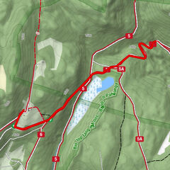
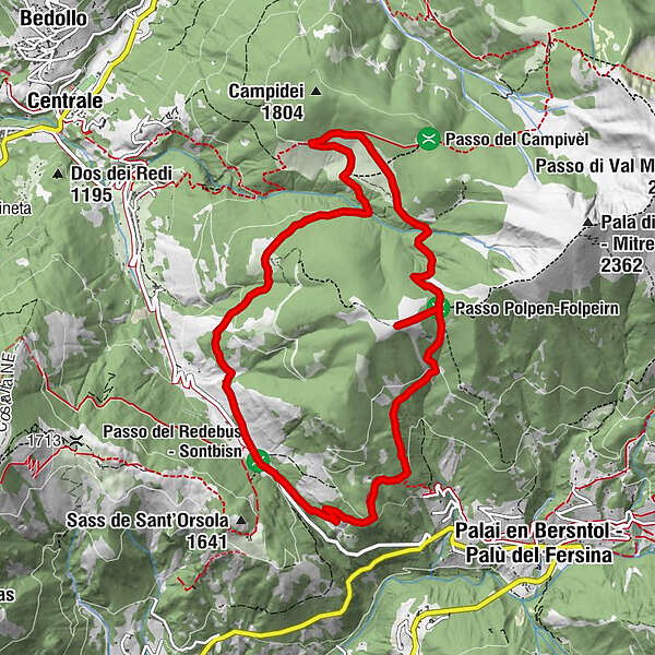
- Wegverlauf
-
Fernon1,2 kmLemperperg (2.004 m)3,8 kmMalga Stramaiolo alta5,8 kmAgritur Malga Stramaiolo6,6 kmMalga Pontara8,6 kmMalga Regnana9,9 km
- Beste Jahreszeit
-
sijveljožutrasvilipsrpkolrujlisstupro
- Höchster Punkt
- 1.989 m
- Zielpunkt
-
Redebus Pass
- Höhenprofil
-
 © outdooractive.com


- Autor
-
Die Tour Trekking at Cima Pontara - Lemperperg: mountain between Pinè Plateau and Mòcheni Valley wird von outdooractive.com bereitgestellt.
GPS Downloads


Opće informacije
Einkehrmöglichkeit
Heilklima
Geheimtipp
Flora
Fauna
Aussichtsreich
Weitere Touren in den Regionen