


Podaci o ruti
6,55km
8
- 153m
203hm
214hm
02:04h
- Kratak opis
-
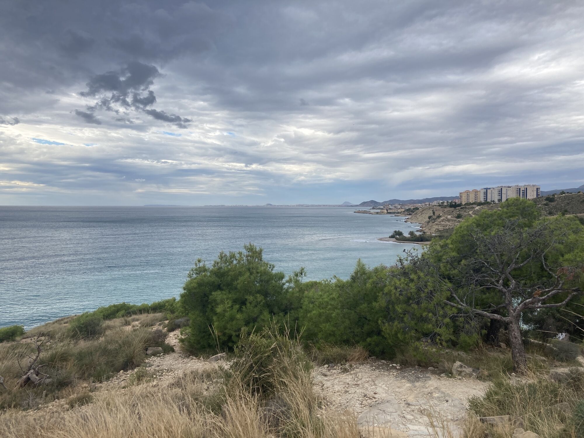
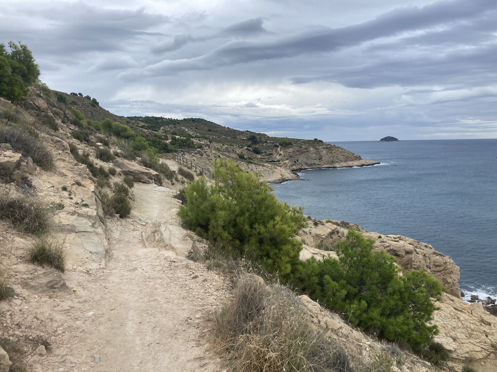
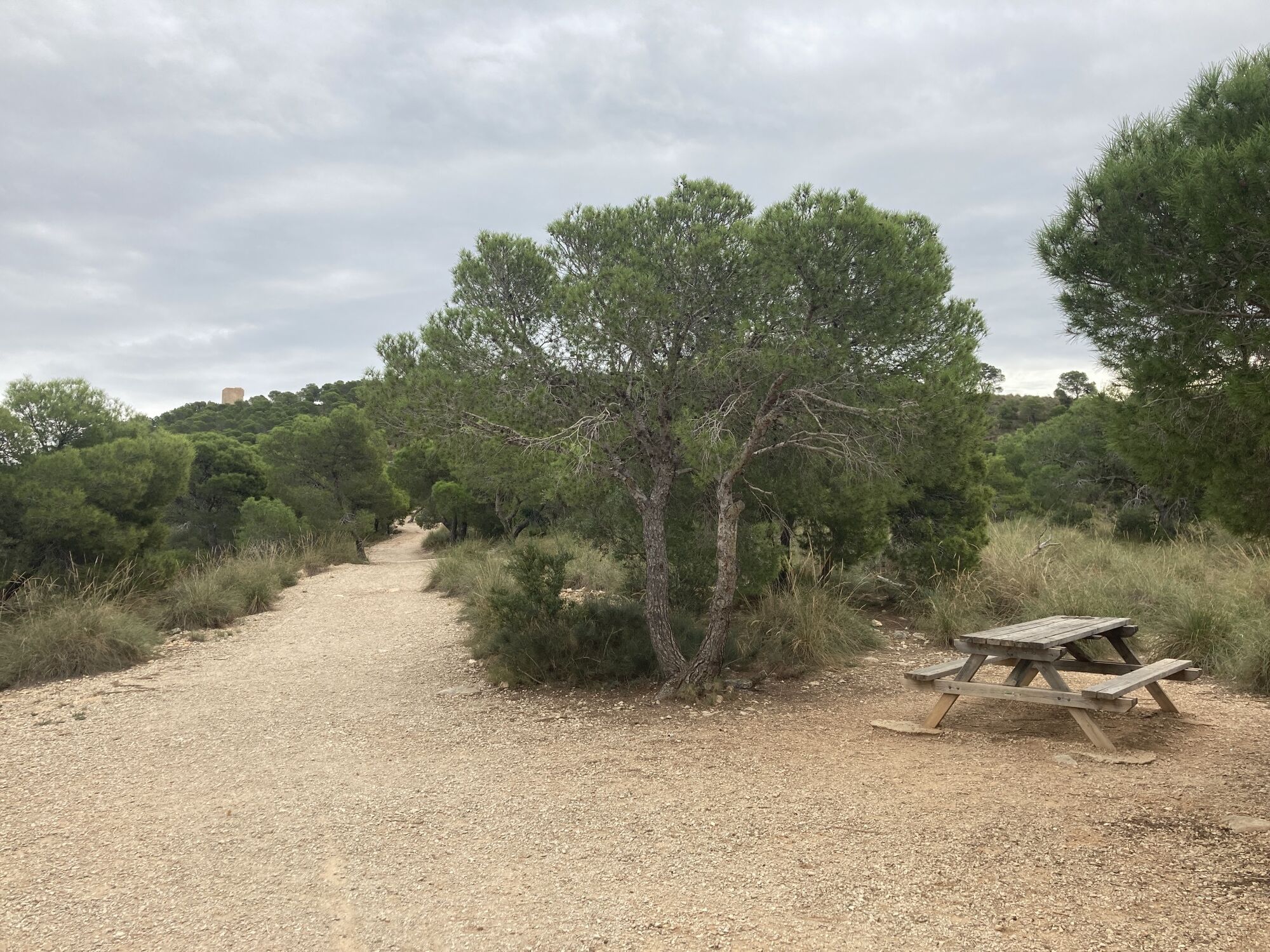
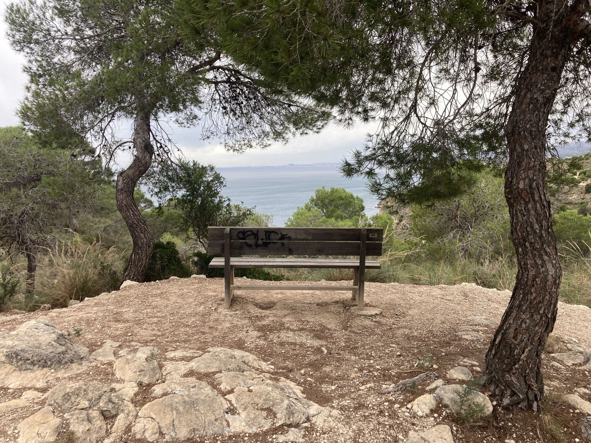
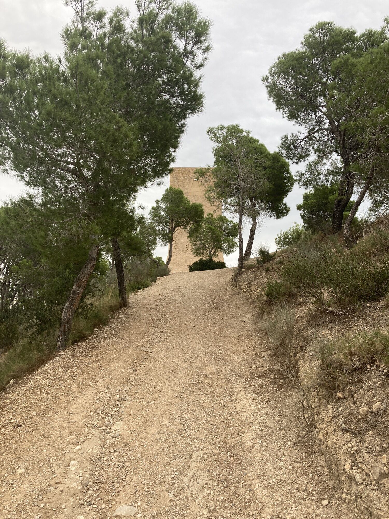
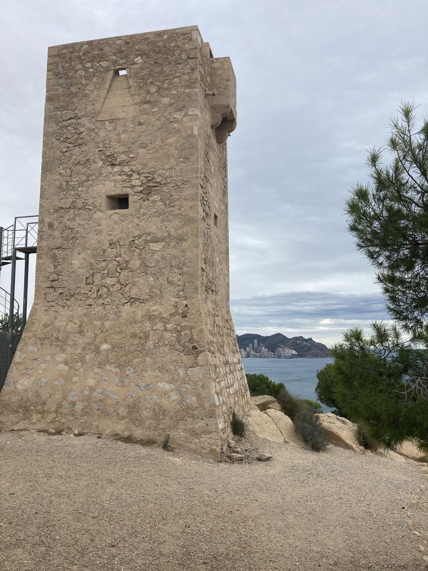
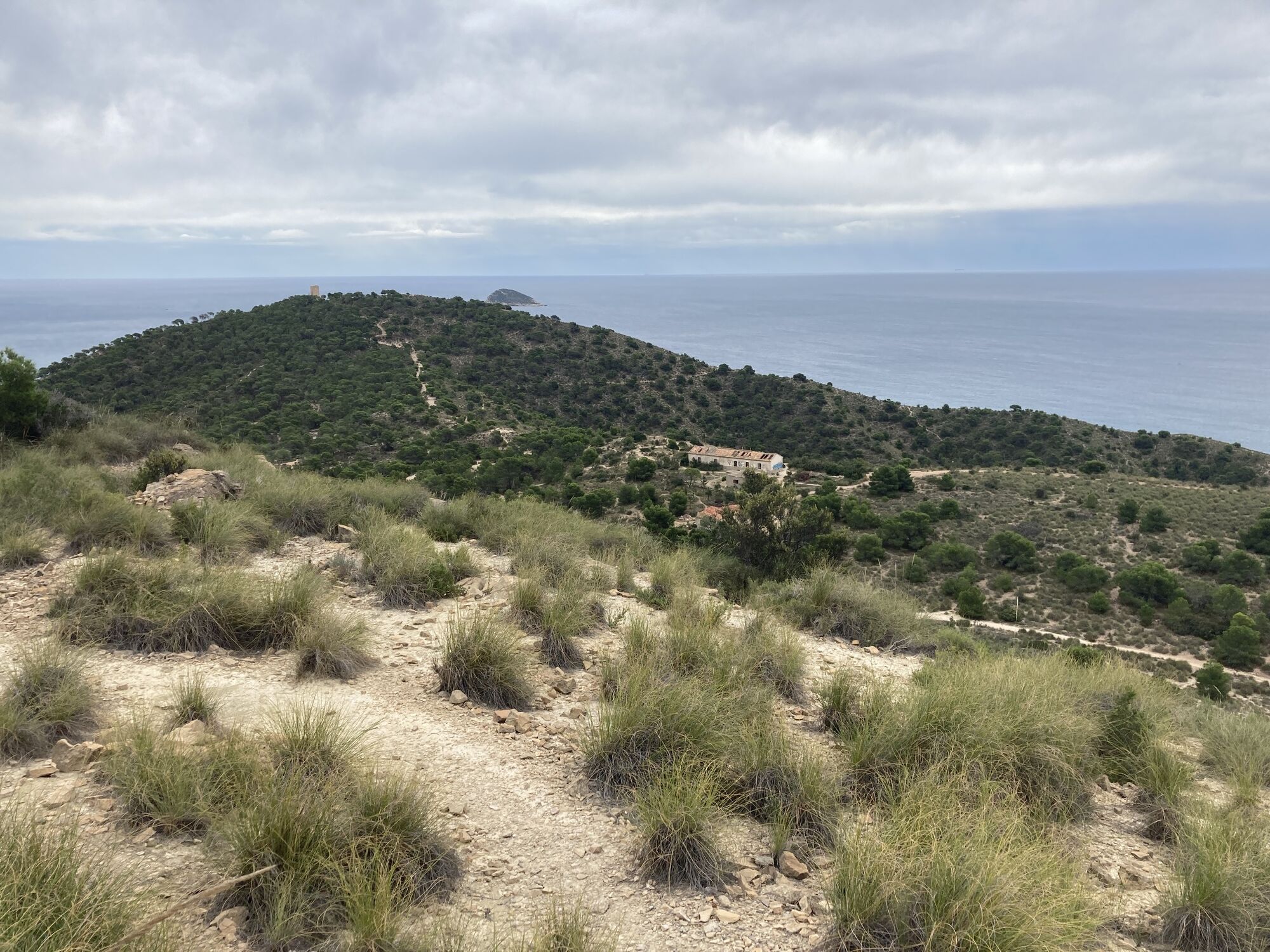
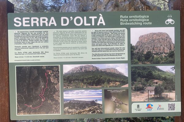
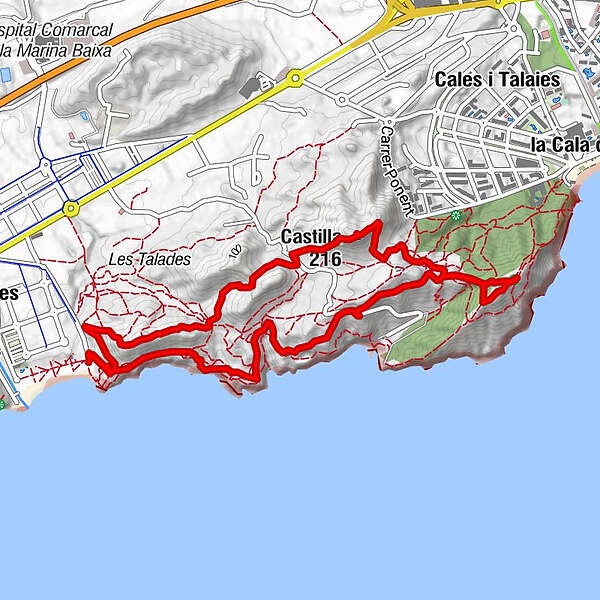
Küstenwanderung durch eine hügelige Dünenlandschaft zu einem alten Wachturm zwischen Villajoyosa und Benidorm
- Teškoća
-
lagano
- Vrednovanje
-
- Polazna točka
-
Strandparkplatz Playa El Torres
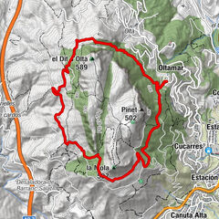
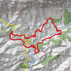
- Wegverlauf
-
Benidorm (11 m)2,9 kmTorre del Aguiló (147 m)3,0 kmCastilla (166 m)4,2 km
- Beste Jahreszeit
-
sijveljožutrasvilipsrpkolrujlisstupro
- Höchster Punkt
- 153 m
- Zielpunkt
-
Strandparkplatz Playa El Torres
- Rast/Einkehr
-
Keine.
- Materijal za karte
-
www.osm.org