© La via delle PREALPI - Editor - la Via delle PREALPI

© La via delle PREALPI - Editor - la Via delle PREALPI

© La via delle PREALPI - Editor - la Via delle PREALPI

© La via delle PREALPI - Editor - la Via delle PREALPI

- Kratak opis
-
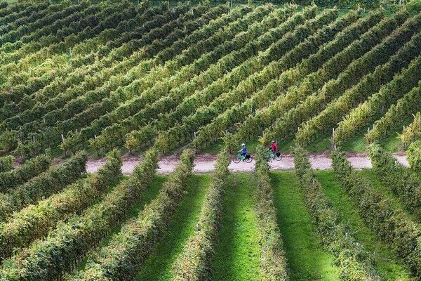
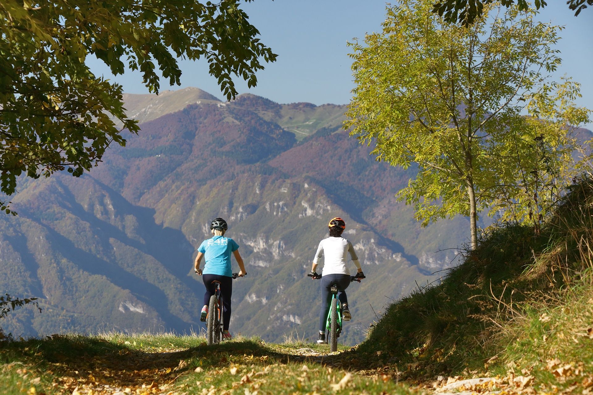
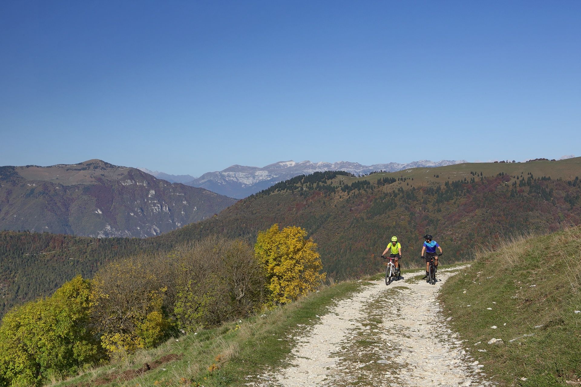
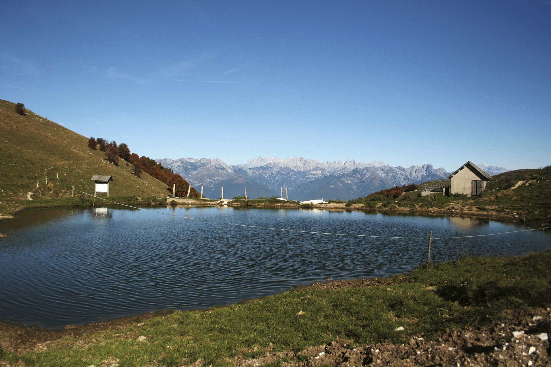
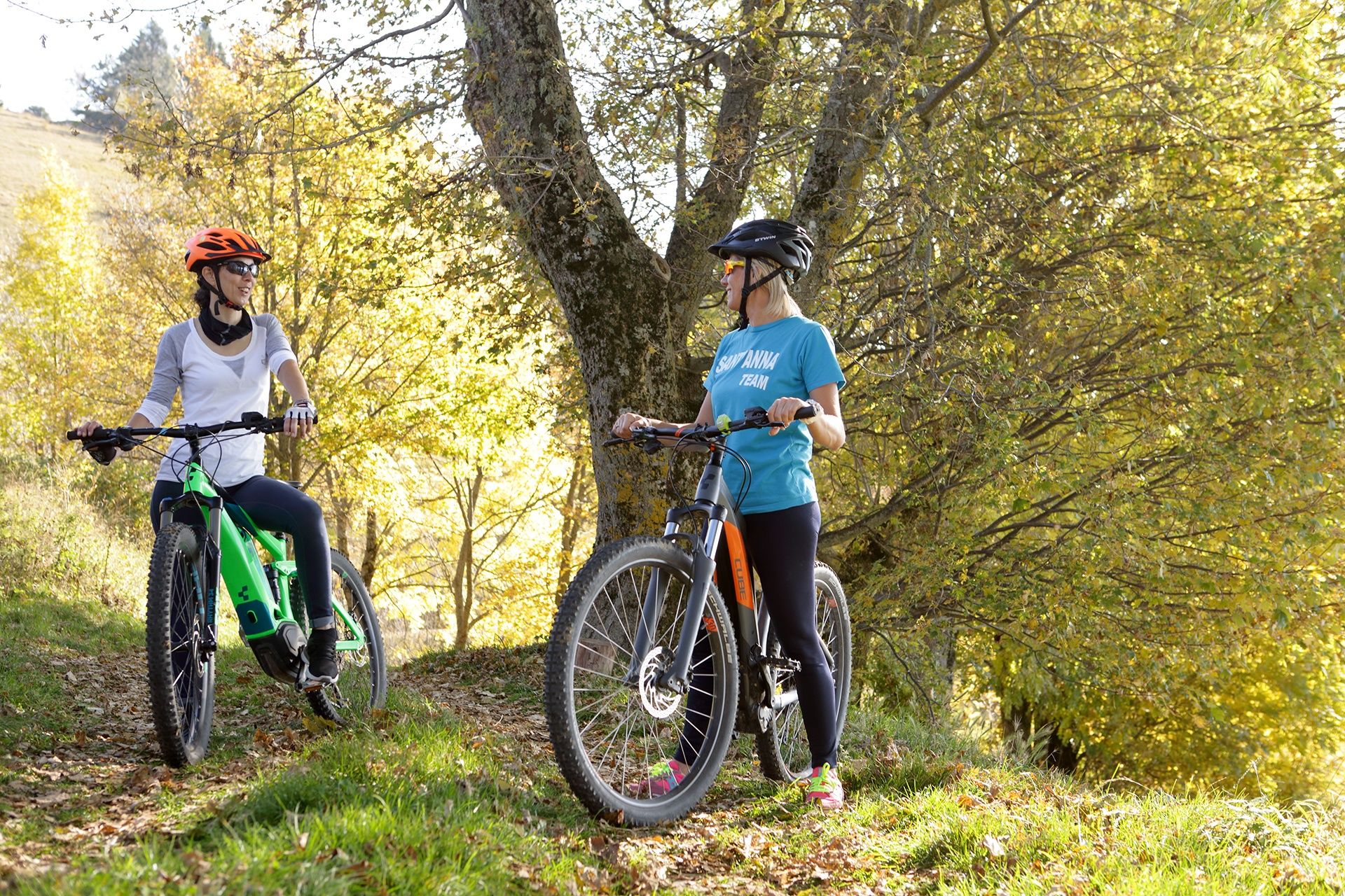
This loop route from Pianezze develops between the slope close to the Piave valley and the northern slope facing the Feltre peaks along paved roads, dirt tracks and wide paths through beech woods and flowering meadows. It will be a great occasion to admire the magnificent views of the Piave valley, the Asolo hills and the Euganean and Berici Hills lying on the Venetian plain which extends on the horizon.
- Teškoća
-
srednje
- Vrednovanje
-
- Wegverlauf
-
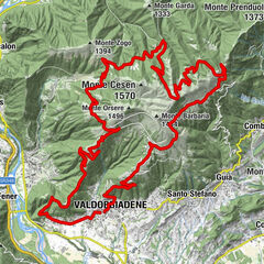
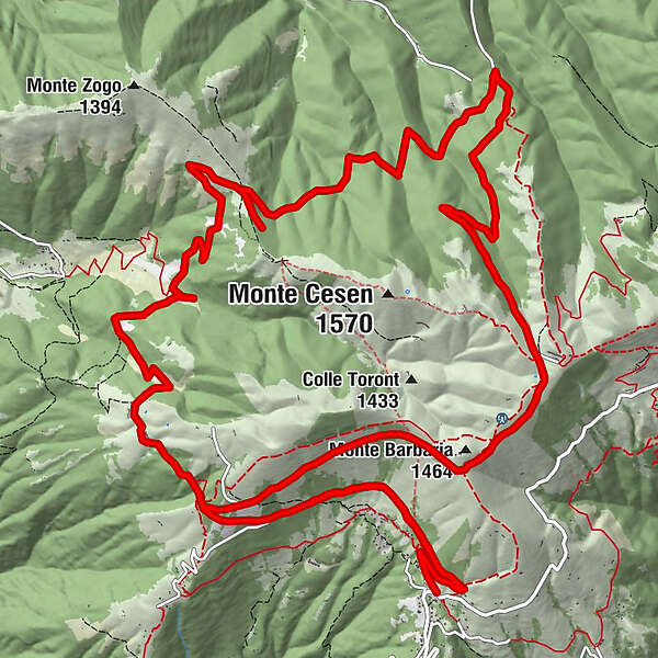
Pianezze di Valdobbiadene0,0 kmStella Alpina0,1 kmMalga Molvine Binot4,7 kmforcella di monte Zogo (1.272 m)10,1 kmMalga Barbaria (1.464 m)18,6 kmMonte Barbaria (1.464 m)18,6 kmStella Alpina24,5 kmPianezze di Valdobbiadene24,6 km
- Beste Jahreszeit
-
sijveljožutrasvilipsrpkolrujlisstupro
- Höchster Punkt
- 1.498 m
- Zielpunkt
-
Piazzale Donatori, Pianezze, Valdobbiadene, (TV)
- Höhenprofil
-
 © outdooractive.com
- Autor
-
Die Tour MTB Cross Country up to Malga Mariech wird von outdooractive.com bereitgestellt.
GPS Downloads


Opće informacije
Einkehrmöglichkeit
Kulturell/Historisch
Geheimtipp
Fauna
Aussichtsreich
Weitere Touren in den Regionen
-
Treviso
9
-
Area Feltrino
38
-
Valdobbiadene
10