© La via delle PREALPI - Editor - la Via delle PREALPI

© La via delle PREALPI - Editor - la Via delle PREALPI

© La via delle PREALPI - Editor - la Via delle PREALPI

© La via delle PREALPI - Editor - la Via delle PREALPI

- Kratak opis
-
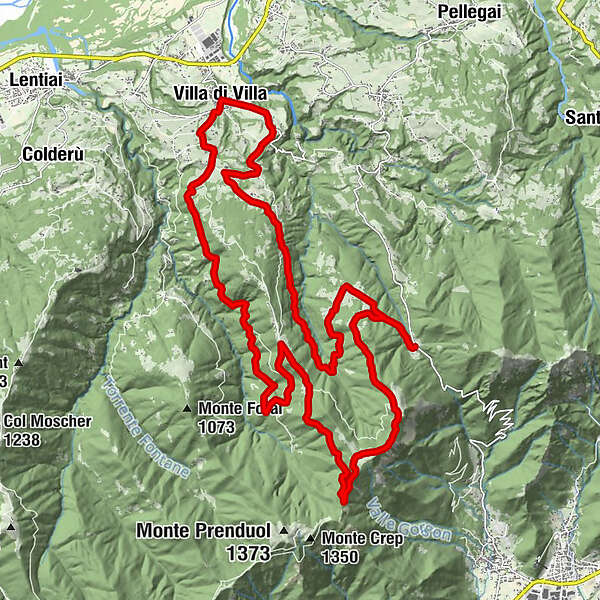
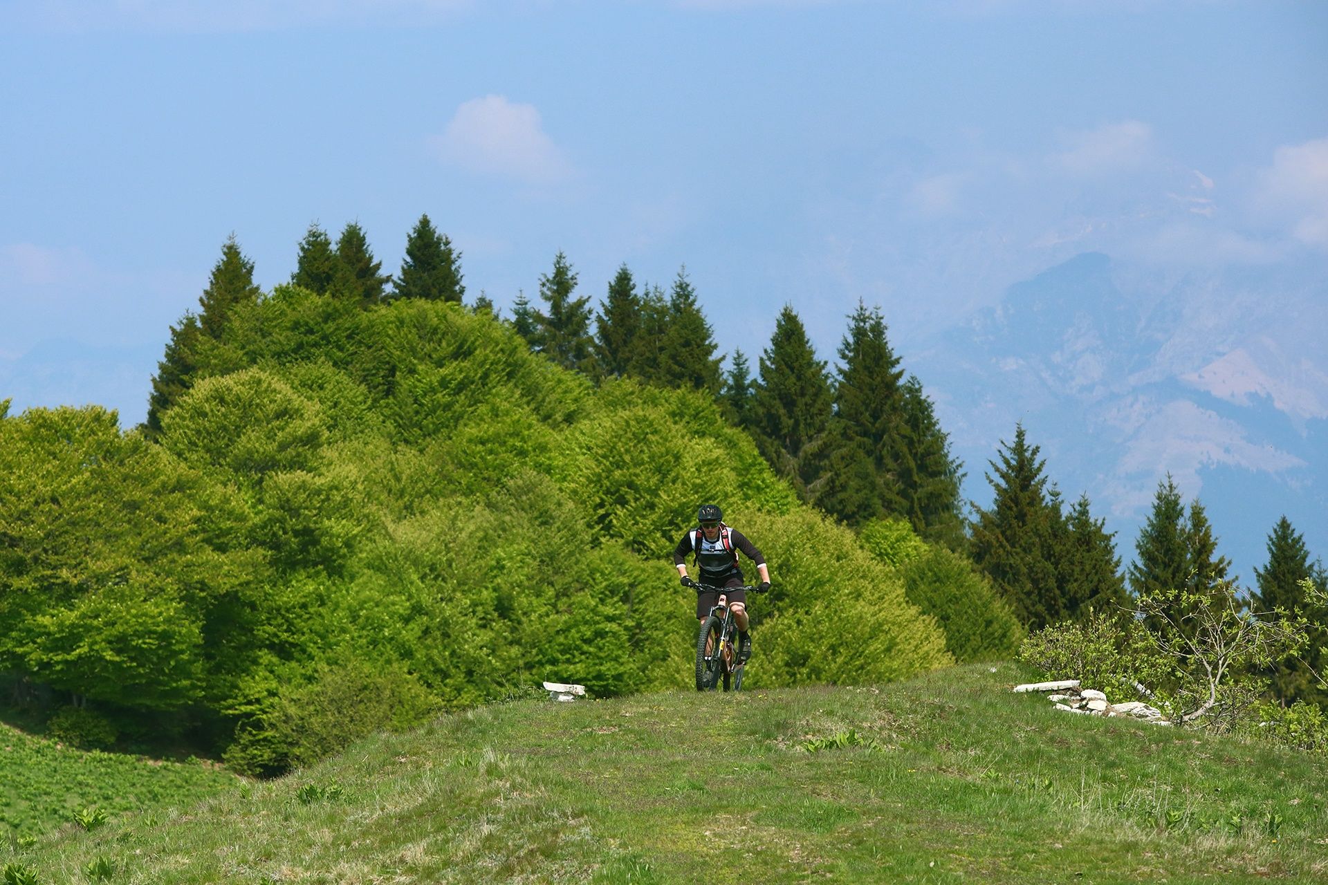
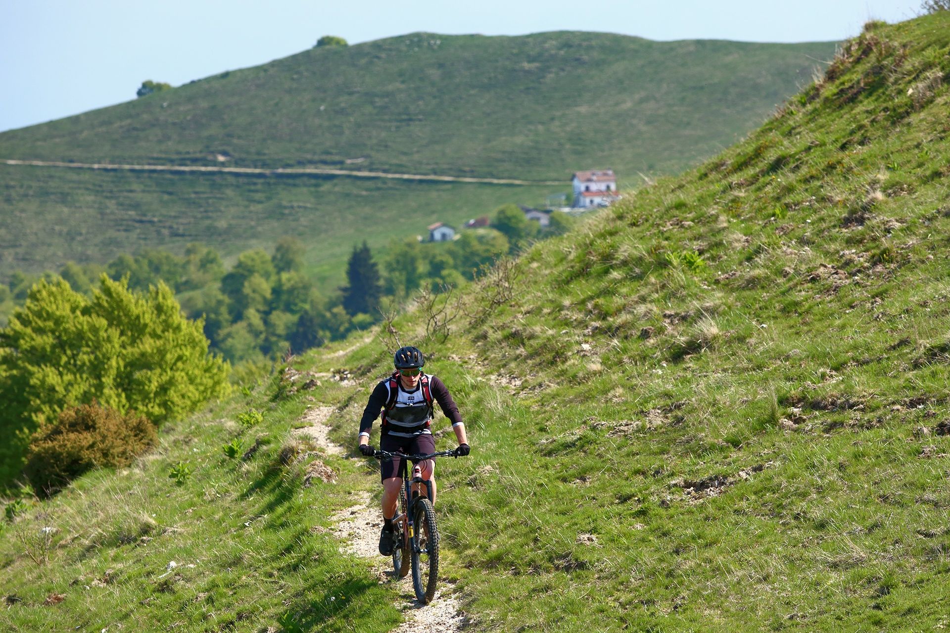
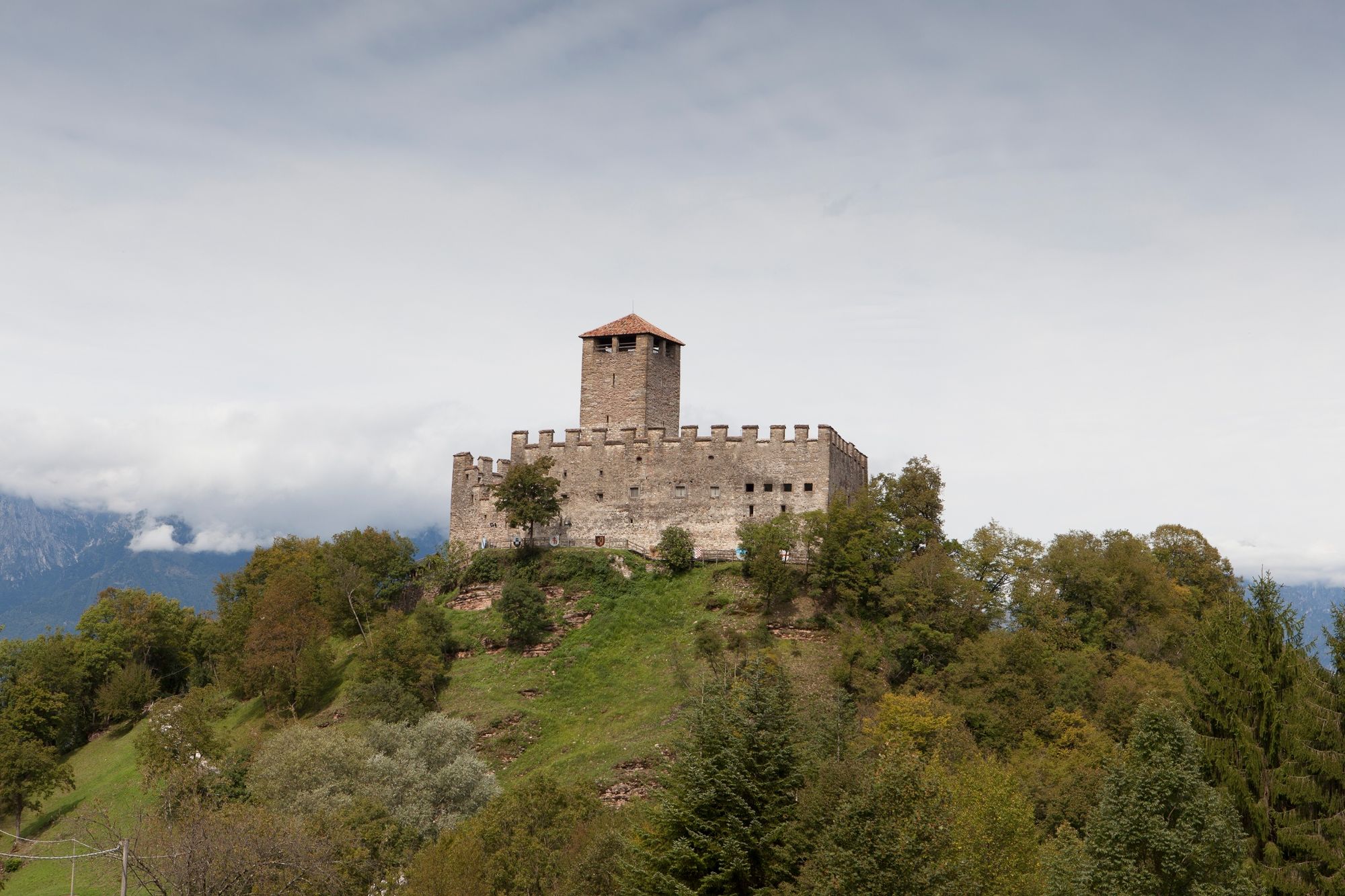
The proposed itinerary mainly develops on dirt roads and woodland paths that will take you along part of the Prealpine ridge in the direction of Malga Mont, heading down the slope to Rifugio Boz and continue along the secondary road a stone's throw from the famous Castle of Zumelle. You will then climb up to Praderadego crossing the typical rural landscape of Pian di Castron.
- Teškoća
-
srednje
- Vrednovanje
-
- Wegverlauf
-
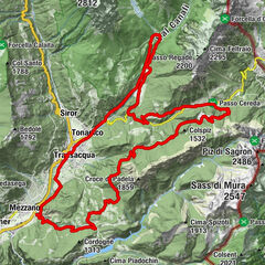
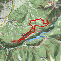
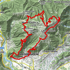
PraderadegoAgriturismo Malga Canidi3,3 kmMonte Canidi (1.279 m)3,5 kmBoz9,3 kmOsteria Rifugio al Boz9,3 kmPedevilla Alta15,1 kmVilla di Villa18,5 kmEx Chiesa di San Marco18,7 kmTiago19,4 kmPraderadego30,0 kmChiesetta di San Fermo30,1 kmOsteria Vin e Pit30,1 km
- Beste Jahreszeit
-
sijveljožutrasvilipsrpkolrujlisstupro
- Höchster Punkt
- 1.273 m
- Zielpunkt
-
Praderadego, Borgo Valbelluna (TV)
- Höhenprofil
-
 © outdooractive.com
- Autor
-
Die Tour Praderadego and Canidi on MTB wird von outdooractive.com bereitgestellt.
GPS Downloads


Opće informacije
Einkehrmöglichkeit
Kulturell/Historisch
Geheimtipp
Fauna
Aussichtsreich
Weitere Touren in den Regionen
-
Area Feltrino
39
-
Valdobbiadene
10