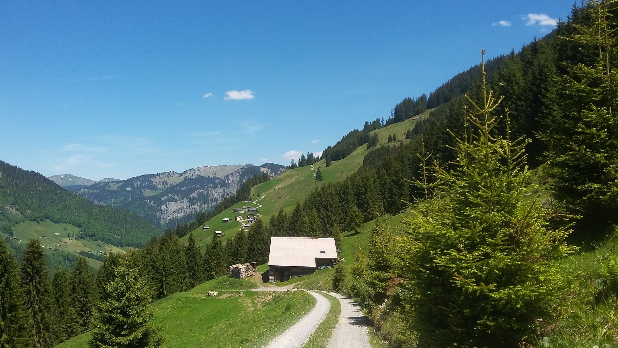
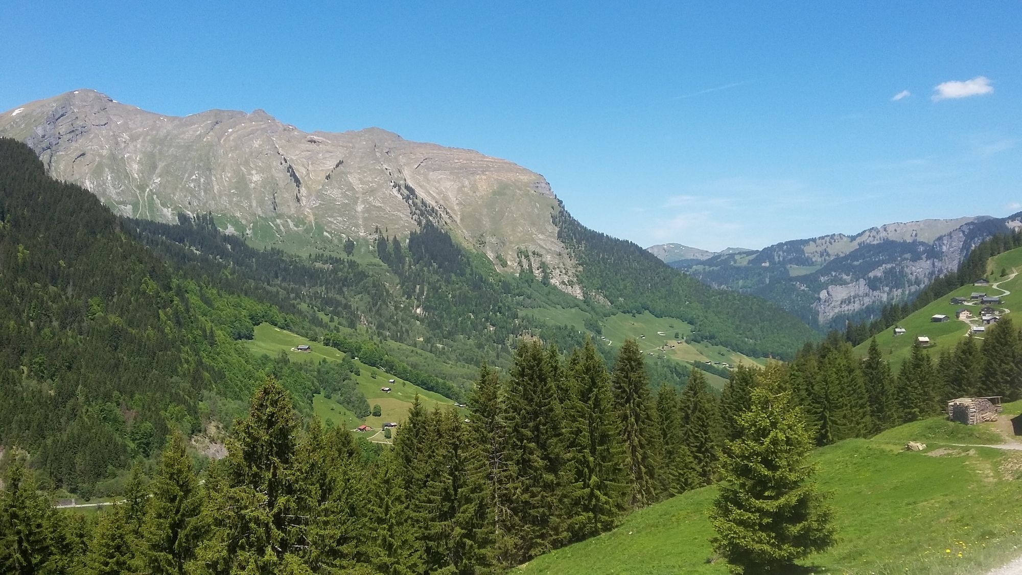
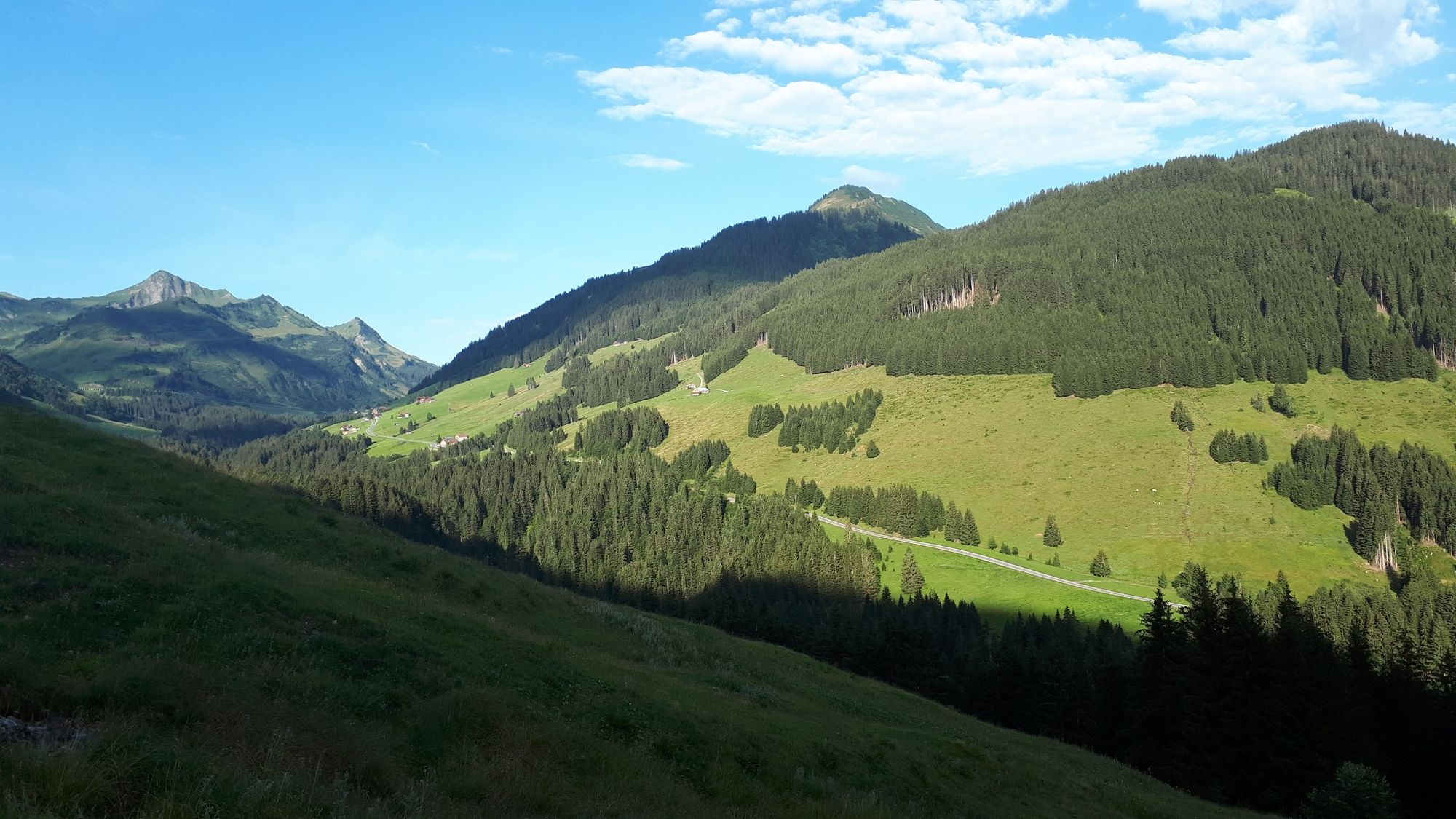
© Au-Schoppernau Tourismus - Monika Albrecht

© Au-Schoppernau Tourismus - Monika Albrecht

© Au-Schoppernau Tourismus - Monika Albrecht

© Au-Schoppernau Tourismus - Monika Albrecht

© Au-Schoppernau Tourismus - Monika Albrecht

© Au-Schoppernau Tourismus - Monika Albrecht

© Au-Schoppernau Tourismus - Monika Albrecht

© Au-Schoppernau Tourismus - Monika Albrecht

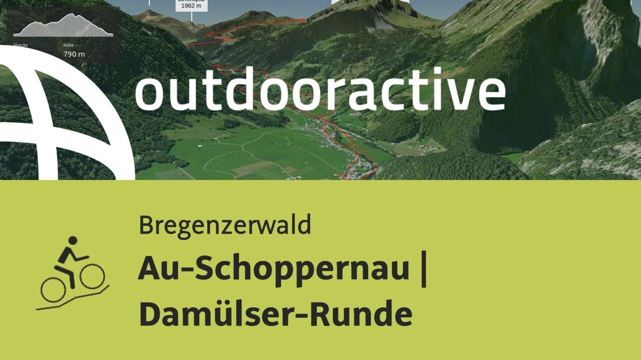
© Outdooractive – 3D Videos


- Kratak opis
-
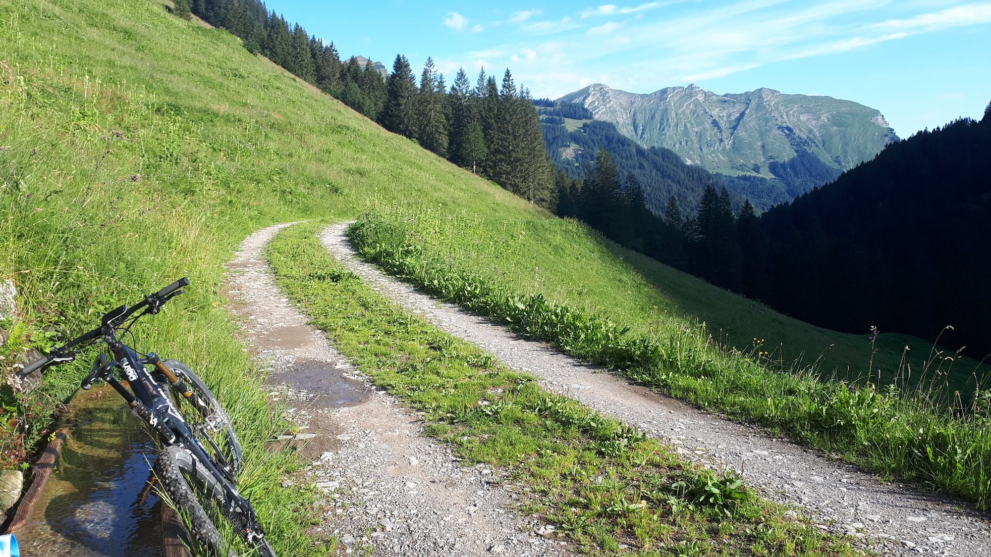
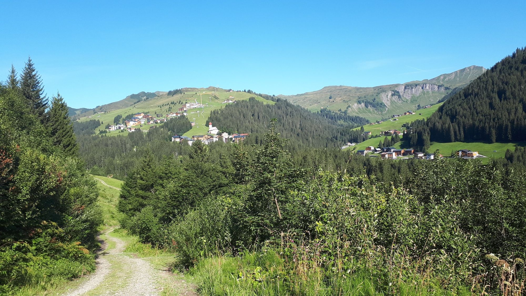
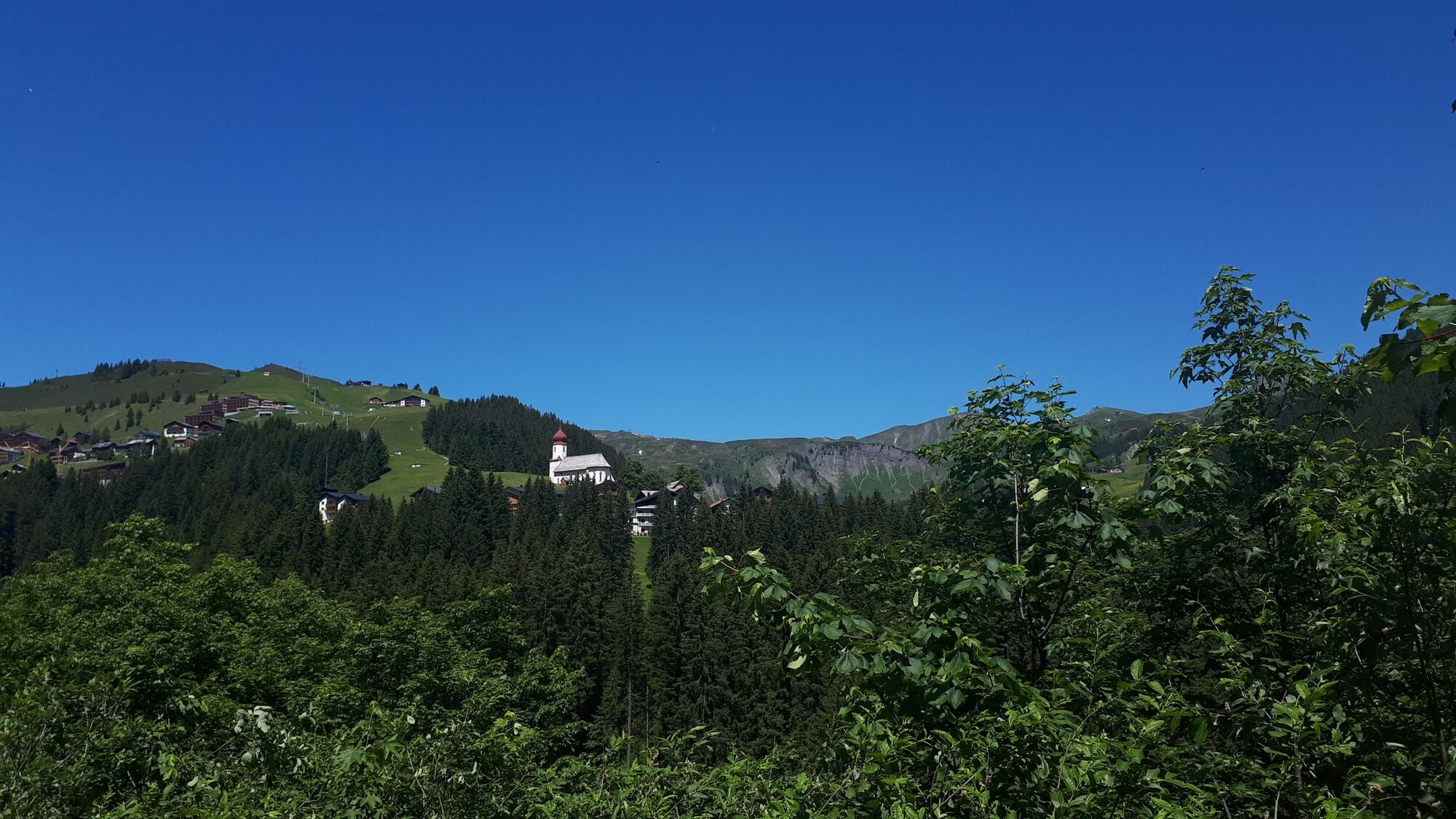
Au - Argenvorsäß - Vorderkriegbödenalpe - Bödmenalpen - Damüls - Ugaalpe - Mittelargenalpe - Argenwaldalpe - Au
- Teškoća
-
teška
- Vrednovanje
-
- Wegverlauf
-
Lisse0,4 kmAu (800 m)0,5 kmArgenzipfel1,2 kmHintere Bödmenalpe11,8 kmDamüls (1.423 m)14,3 kmPizzeria da Ingo15,2 kmVordere Ugaalpe19,3 kmArgenzipfel31,7 kmLisse32,4 kmAu (800 m)32,5 km
- Beste Jahreszeit
-
sijveljožutrasvilipsrpkolrujlisstupro
- Höchster Punkt
- 1.791 m
- Zielpunkt
-
Tourist Office Au
- Höhenprofil
-


-

-
AutorDie Tour Au-Schoppernau | Damüls Tour wird von outdooractive.com bereitgestellt.
GPS Downloads


Opće informacije
Einkehrmöglichkeit
Aussichtsreich
Weitere Touren in den Regionen
 Lech Zuers Tourismus by Hanno Mackowitz")