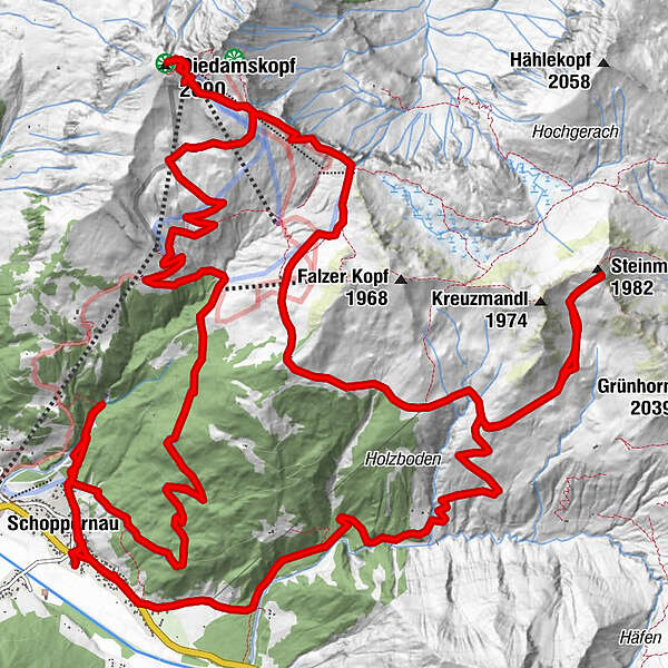
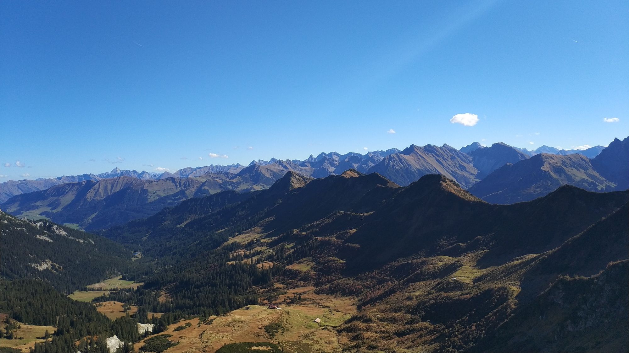
Von Schoppernau auf den Diedamskopf und auf das Steinmandl

Mountainbike


Podaci o ruti
30,77km
852
- 2.060m
1.902hm
1.711hm
01:42h
- Kratak opis
-
relativ steil, teils lockerer Schotter beim Anstieg auf den Diedamskopf; hoch zum Steinmandl 80% zu schieben/tragen (ist unfahrbar), runter konnte ich ca 70% fahren.
Im gesamten recht anstrengend, speziell wegen der Tragepassage zum Steinmandl - Teškoća
-
teška
- Vrednovanje
-
- Polazna točka
-
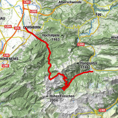
Gemeindeamt Schoppernau
- Wegverlauf
-
St. Philippus & Jakobus0,2 kmSchoppernau (852 m)0,3 kmZum Fraaanz Restaurant0,4 kmBreitenalpbahn5,8 kmAlpe Mitteldiedams6,6 kmOberdiedamsalpe9,3 kmPanoramarestaurant10,8 kmPanoramabahn11,1 kmDiedamskopf (2.090 m)11,3 kmBreitenalpe14,5 kmNeuhornbachhaus (1.700 m)16,4 kmNeuhornbach Alpe17,0 kmSteinmandl (1.982 m)19,0 kmNeuhornbach Alpe20,9 kmÜntschele24,9 kmHotel Gasthof Adler26,1 kmTresoli26,1 kmSchoppernau (852 m)26,6 kmSt. Philippus & Jakobus26,7 kmZum Fraaanz Restaurant29,3 kmSt. Philippus & Jakobus29,4 kmTresoli30,4 kmHotel Gasthof Adler30,4 km
- Beste Jahreszeit
-
sijveljožutrasvilipsrpkolrujlisstupro
- Höchster Punkt
- 2.060 m
- Infomaterial
-


GPS Downloads


Putevi
Asfalt
Šljunak
Šuma
Planinske staze
Jednostruki tragovi
Pokus
Promet
Weitere Touren in den Regionen
-
Bregenzerwald
234
-
Diedamskopf
102

 Lech Zuers Tourismus by Hanno Mackowitz")