© Warth-Schröcken Tourismus - Sebastian Stiphout

© Warth-Schröcken Tourismus - Sebastian Stiphout

© Warth-Schröcken Tourismus - Sebastian Stiphout

© Warth-Schröcken Tourismus - Sebastian Stiphout

- Kratak opis
-
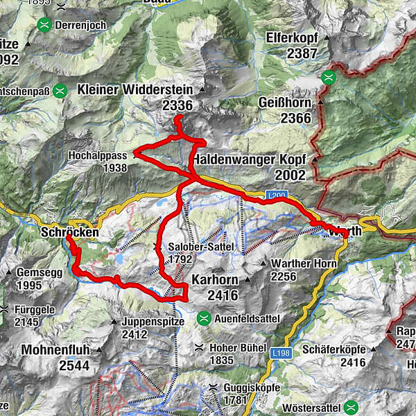
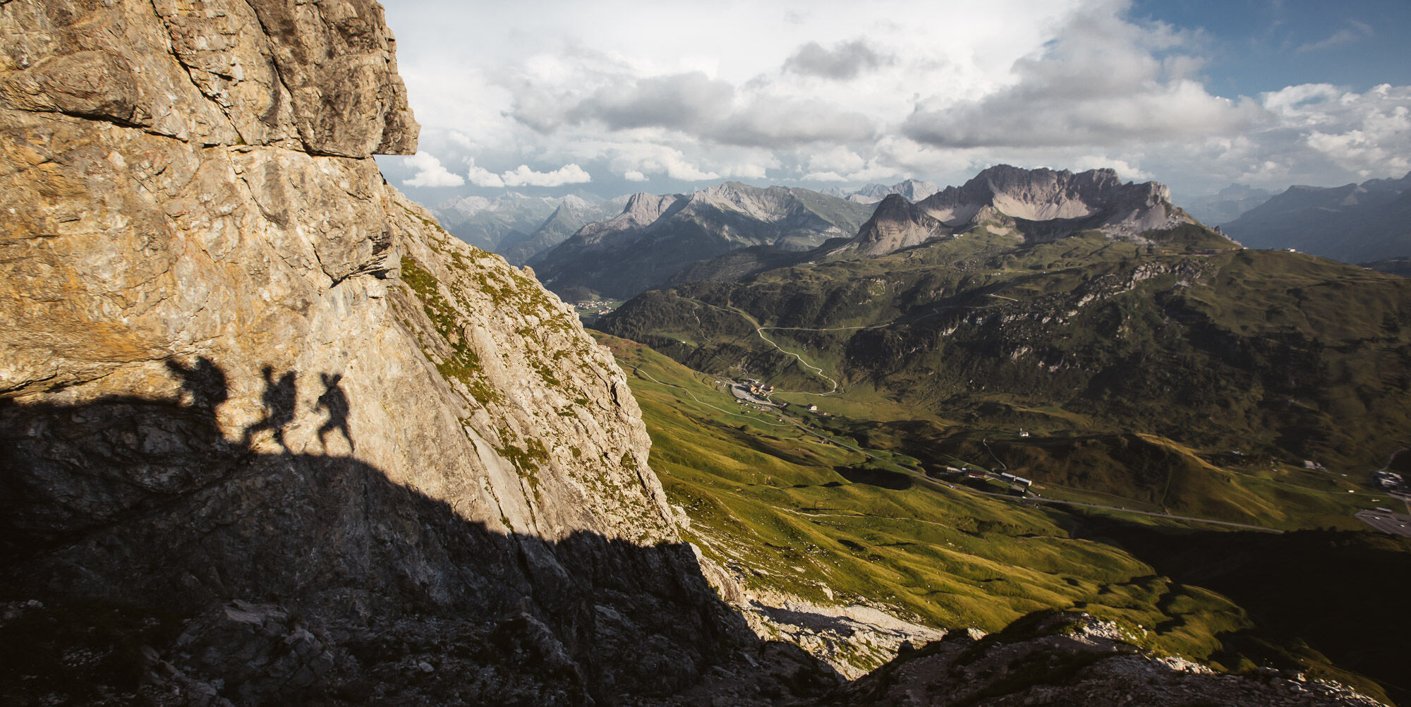
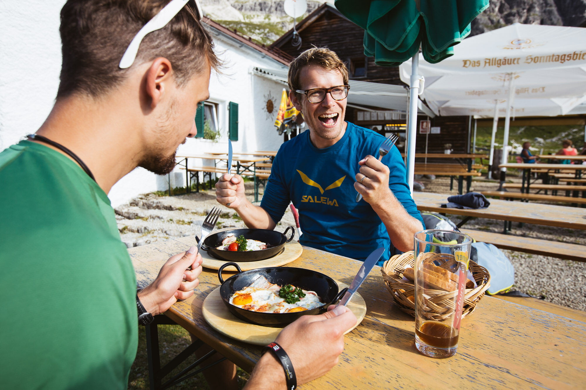
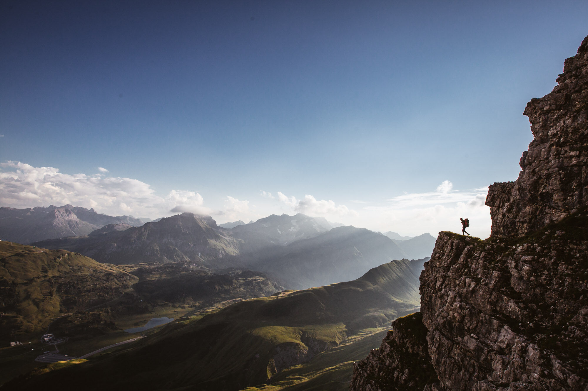
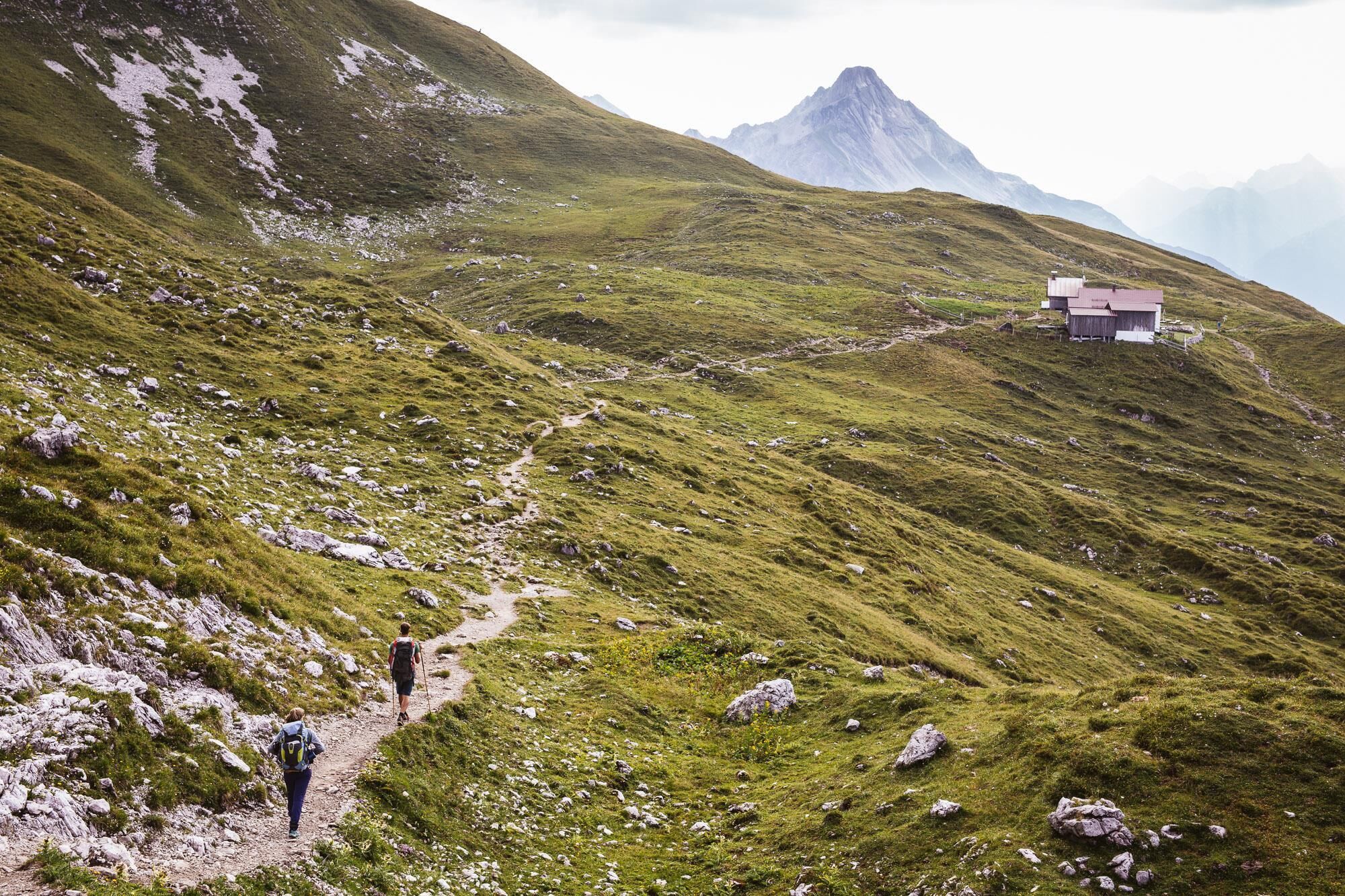
In Warth at the village square you start in the direction to the plot Wolfegg, from where you get on the way steeply up to the junction Alte Salzstraße. Via the Alte Salzstraße, a somewhat narrow path, you reach the Jägeralpe. Now the path leads you past the Jägeralpe to the Hochtannbergpass. Now we continue on foot. The trail leads between wild flowers and fresh alpine herbs in the direction of Widdersteinhütte. Just before the hut turn left to get to the rock entrance. From here follow the markings on the rocks. After a few short climbing sections, follow the partly exposed summit ridge to the summit cross. At the summit cross you will be rewarded with a breathtaking panoramic view. Breathe and enjoy the fresh, invigorating mountain air before the return journey is imminent. The descent takes place via the Hochalppass back to the Hochtannbergpass. Once you have arrived at the Hochtannberg Pass, you cycle towards Salobersattel. At the saddle, the wide gravel path leads you down through the picturesque Auenfeld over lush green mountain meadows. Continue on the wide path past the Alpe Batzen to the Alpmuseum Uf'm Tannberg. A short stop in the museum is really worthwhile, because there you can see the old craftsmanship of the mountain farmers. This path leads you further to the village of Schröcken.
The tour can of course also be started in Schröcken.
- Teškoća
-
teška
- Vrednovanje
-
- Wegverlauf
-
Warth (1.495 m)0,0 kmPfarrkirche St. Sebastian0,4 kmKitzeliftle0,6 kmWolfegg1,4 kmHolzbodenalpe2,9 kmSennkuchl3,6 kmJägeralpe3,6 kmHochkrumbach4,0 kmWiddersteinhütte6,3 kmGroßer Widderstein (2.533 m)7,7 kmBärgunt-Hütte9,7 kmHochalppass (1.938 m)10,0 kmAlpekörb12,3 kmSB-Restaurant Salober12,5 kmS112,6 kmSalober-Sattel (1.792 m)14,0 kmAuenfelder Hütte15,0 kmObere Auenfeld Alpe (1.732 m)15,6 kmMaterialseilbahn Körbersee21,4 kmSchröcken (1.269 m)21,6 km
- Beste Jahreszeit
-
sijveljožutrasvilipsrpkolrujlisstupro
- Höchster Punkt
- 2.515 m
- Zielpunkt
-
Village square Warth/Village square Schröcken
- Höhenprofil
-

-

-
AutorDie Tour Bike & Hike Widderstein (2.533 m) wird von outdooractive.com bereitgestellt.
GPS Downloads


Opće informacije
Einkehrmöglichkeit
Geheimtipp
Aussichtsreich
Weitere Touren in den Regionen
 Lech Zuers Tourismus by Hanno Mackowitz")