© Bregenzerwald Tourismus - Sebastian Stiphout

© Bregenzerwald Tourismus - Sebastian Stiphout

© Themenwege Vorarlberg - Helmut Düringer

© Damüls-Faschina Tourismus - Huber Images

© Damüls Faschina Tourismus - Huber Images

© Bregenzerwald Tourismus - Conny Kriegner


- Kratak opis
-
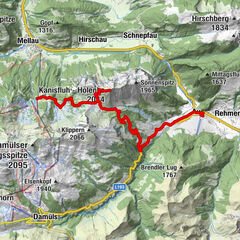
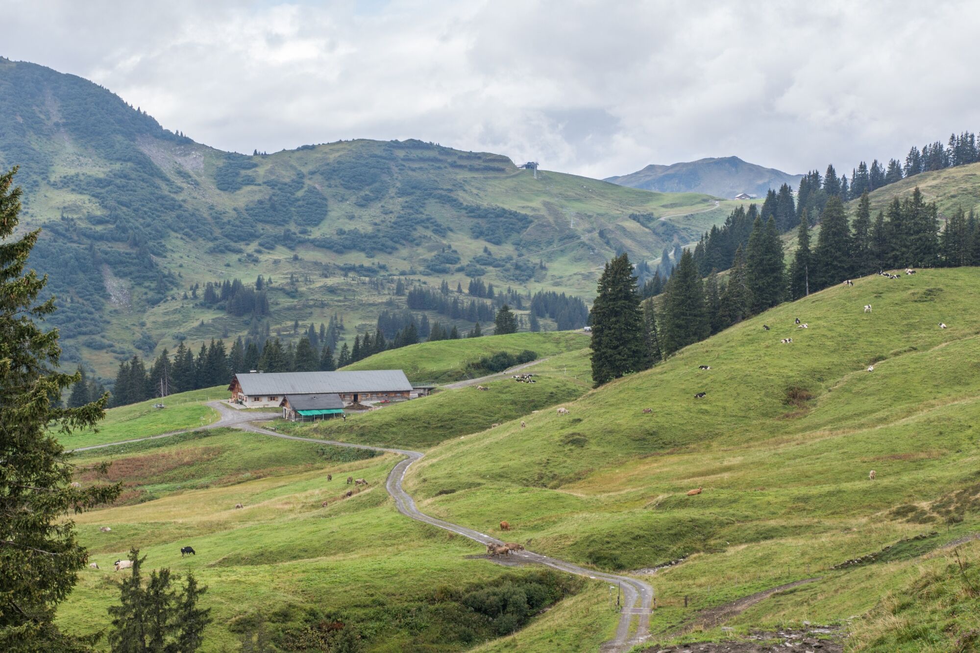
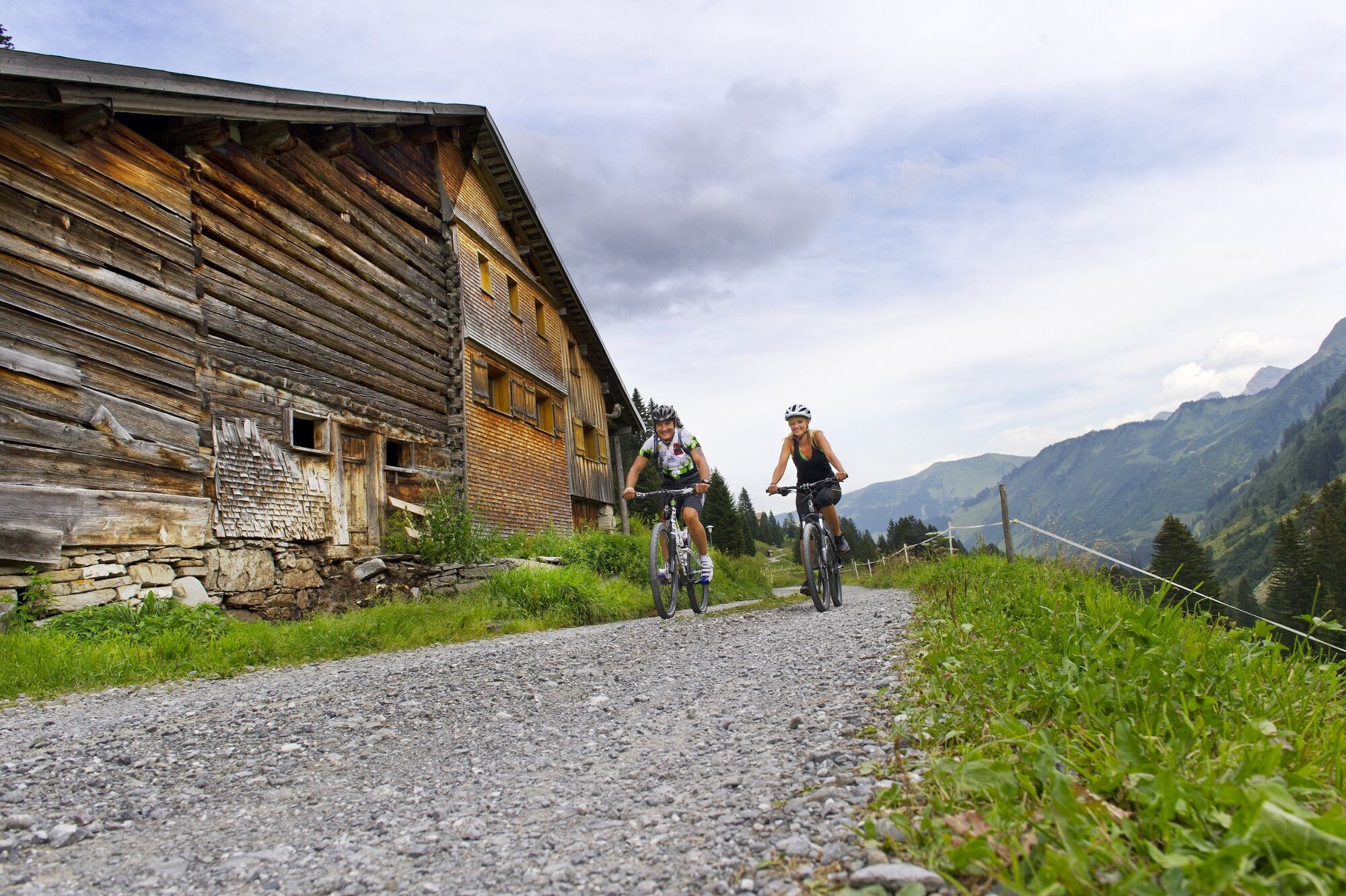
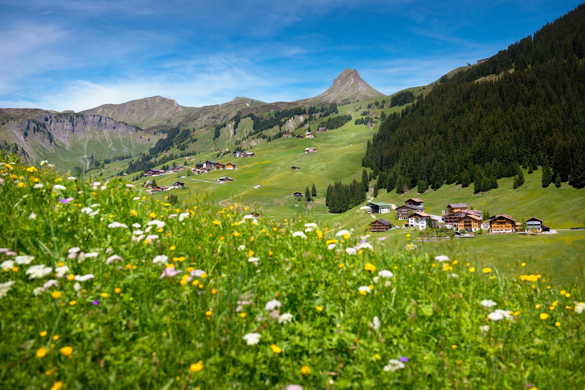
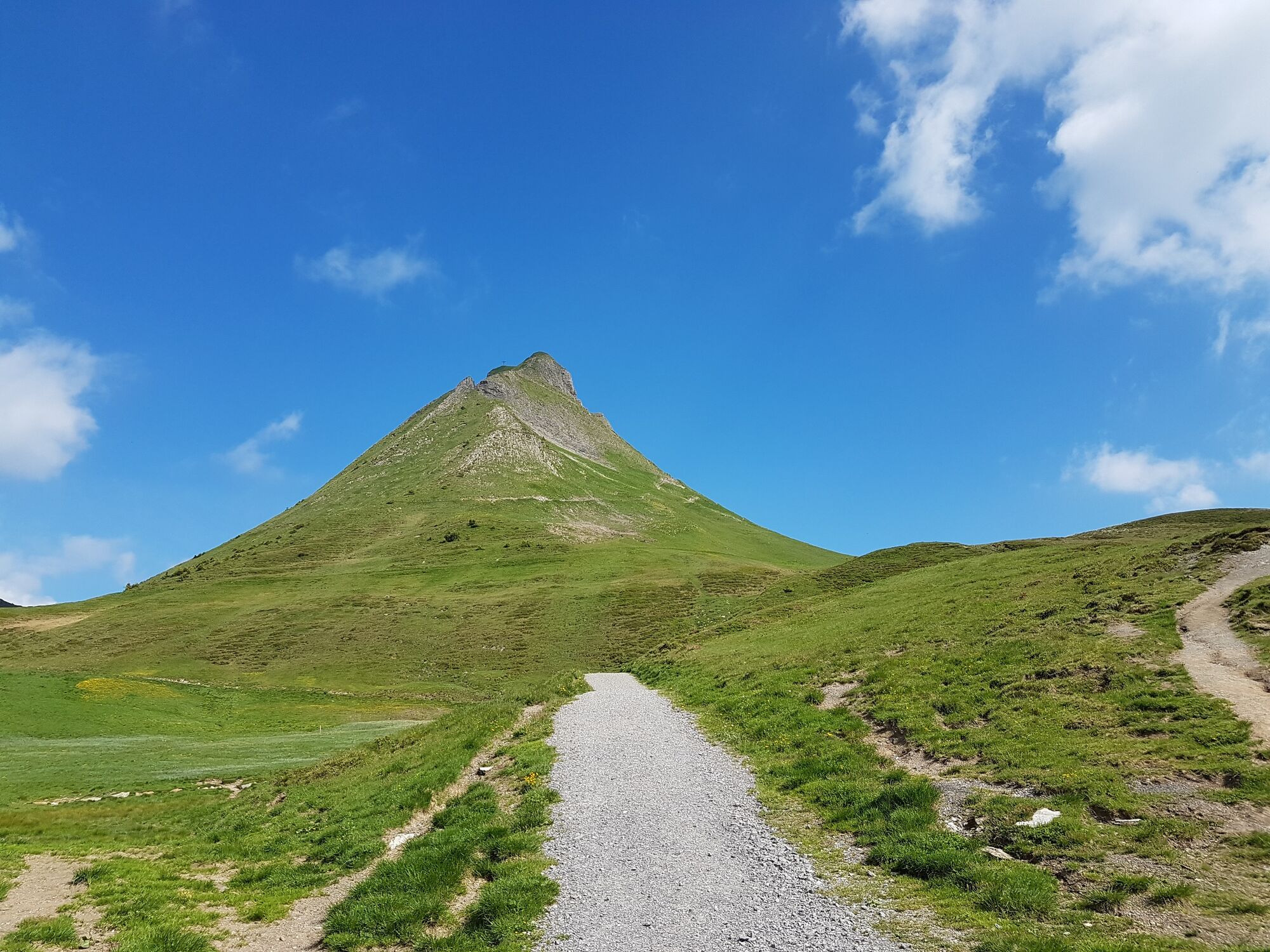
Die Damülser Runde mit Aufstieg auf die Mittagspitze.
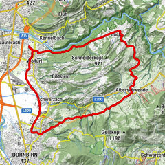
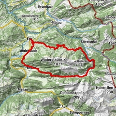
- Wegverlauf
-
Au (800 m)0,0 kmLisse0,1 kmArgenzipfel0,7 kmHintere Bödmenalpe11,3 kmDamüls (1.423 m)13,8 kmPizzeria da Ingo14,7 kmVordere Ugaalpe18,8 kmAlpe Uga19,1 kmDamülser Mittagsspitze (2.095 m)20,3 kmUga Alp21,4 kmArgenzipfel34,0 kmAu (800 m)34,7 kmLisse34,8 kmPfarrkirche St. Leonhard35,0 km
- Beste Jahreszeit
-
sijveljožutrasvilipsrpkolrujlisstupro
- Höchster Punkt
- 2.063 m
- Höhenprofil
-


- Autor
-
Die Tour Bike & Hike | Auf die Mittagspitze wird von outdooractive.com bereitgestellt.
GPS Downloads


Opće informacije
Aussichtsreich
Weitere Touren in den Regionen