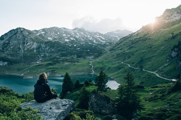
© Alpenregion Bludenz Tourismus GmbH - Monika Bischof

© Vorarlberg Tourismus GmbH
- Kratak opis
-
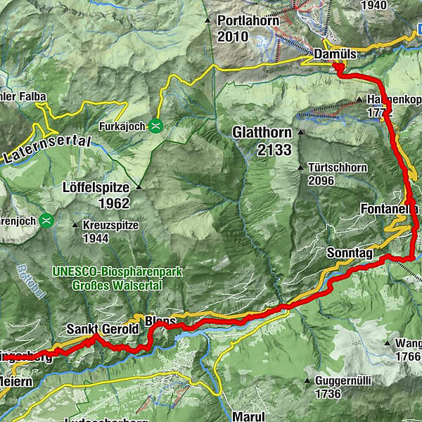
In earlier times, when there were no roads in the Grosses Walsertal, the individual villages were only connected by footpaths. Today, these footpaths form the historic Walserweg.
- Teškoća
-
teška
- Vrednovanje
-
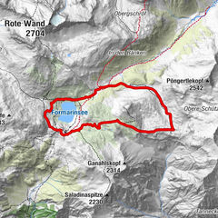
- Wegverlauf
-
Gasthaus SonneThüringerberg0,2 kmSt. Gerold2,9 kmKlosterkeller3,3 kmPfarrkirche St. Mariä Empfängnis5,4 kmFalva5,5 kmBlons5,6 kmAdler5,6 kmGarsella9,1 kmSonntag (888 m)11,3 kmFontanella (1.145 m)14,9 kmSäge15,5 kmFaschina17,9 kmDamüls (1.423 m)19,9 km
- Beste Jahreszeit
-
sijveljožutrasvilipsrpkolrujlisstupro
- Höchster Punkt
- 1.485 m
- Zielpunkt
-
Damüls
- Höhenprofil
-


- Autor
-
Die Tour Walserweg | Thüringerberg - Damüls wird von outdooractive.com bereitgestellt.
GPS Downloads


Opće informacije
Einkehrmöglichkeit
Kulturell/Historisch
Aussichtsreich
Weitere Touren in den Regionen