© Lech Zürs Tourismus GmbH - Lech Zuers Tourismus GmbH
© Lech Zürs Tourismus GmbH - Lech Zuers Tourismus GmbH
© Lech Zürs Tourismus GmbH - Lech Zuers Tourismus GmbH
© Lech Zürs Tourismus GmbH - Lech Zuers Tourismus GmbH
© Lech Zürs Tourismus GmbH - Lech Zuers Tourismus GmbH

- Kratak opis
-
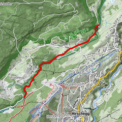
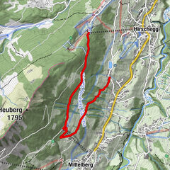
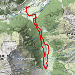
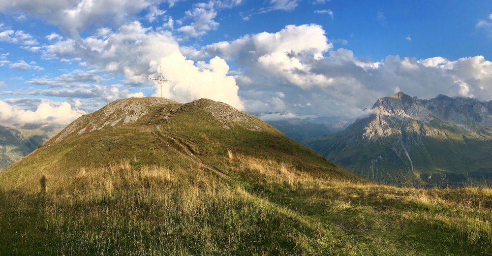
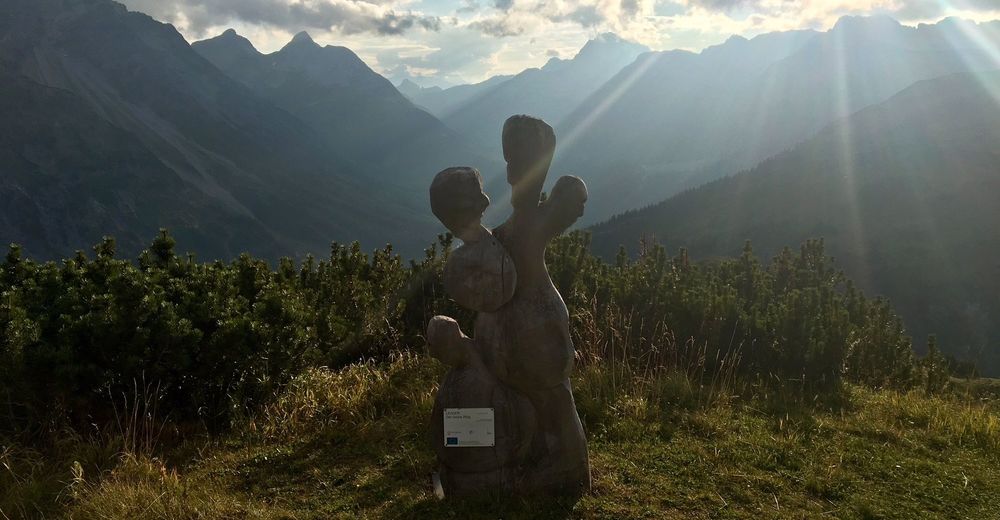
The hiking tour from Zug up to the Kriegerhorn summit is worth the effort, as you will find mythical creatures along the steep forest path through the forest full of mythology.
- Teškoća
-
srednje
- Vrednovanje
-
- Wegverlauf
-
Balmalp2,4 kmBalmengrat2,5 kmBalmengrat2,7 kmKriegerhornbahn3,0 kmZugerberg3,8 kmZug6,2 km
- Beste Jahreszeit
-
sijveljožutrasvilipsrpkolrujlisstupro
- Höchster Punkt
- 2.162 m
- Zielpunkt
-
Bus stop "Zug Kirchle"
- Höhenprofil
-


-

-
AutorDie Tour Hiking from Zug up to Kriegerhorn summit wird von outdooractive.com bereitgestellt.
GPS Downloads


Opće informacije
Geheimtipp
Aussichtsreich
Weitere Touren in den Regionen