
- Kratak opis
-
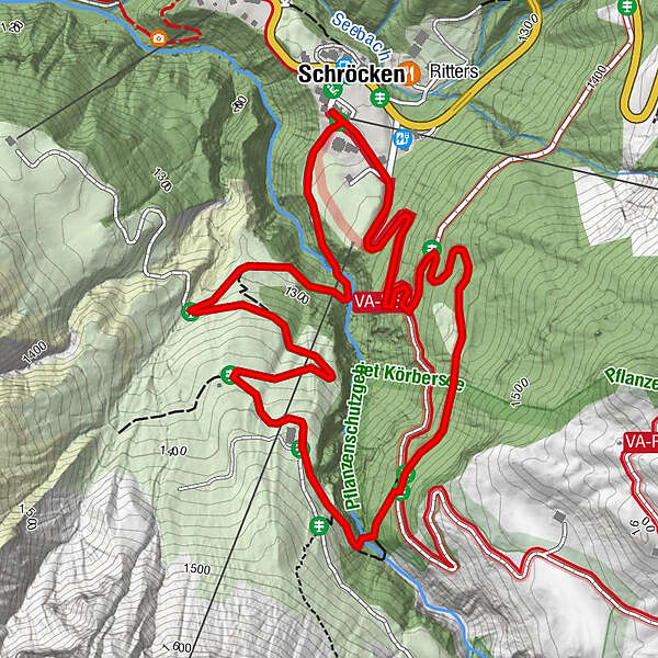
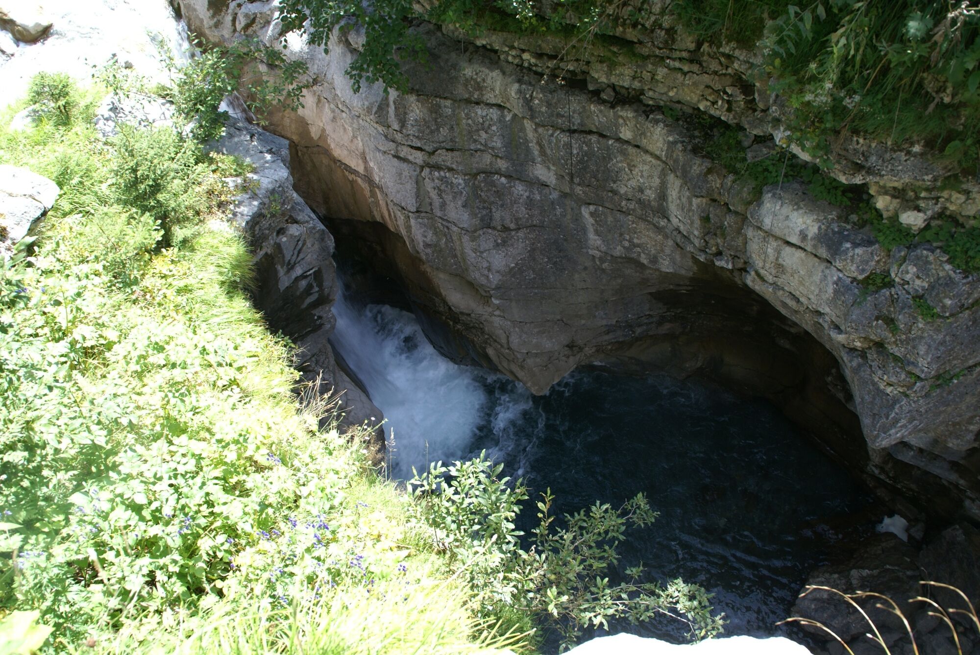
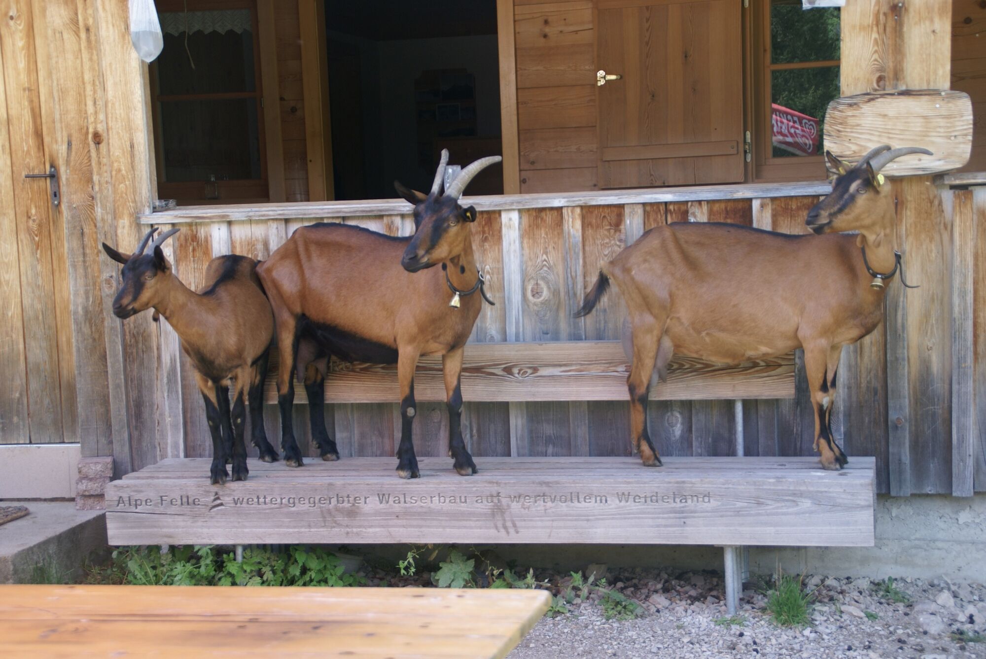
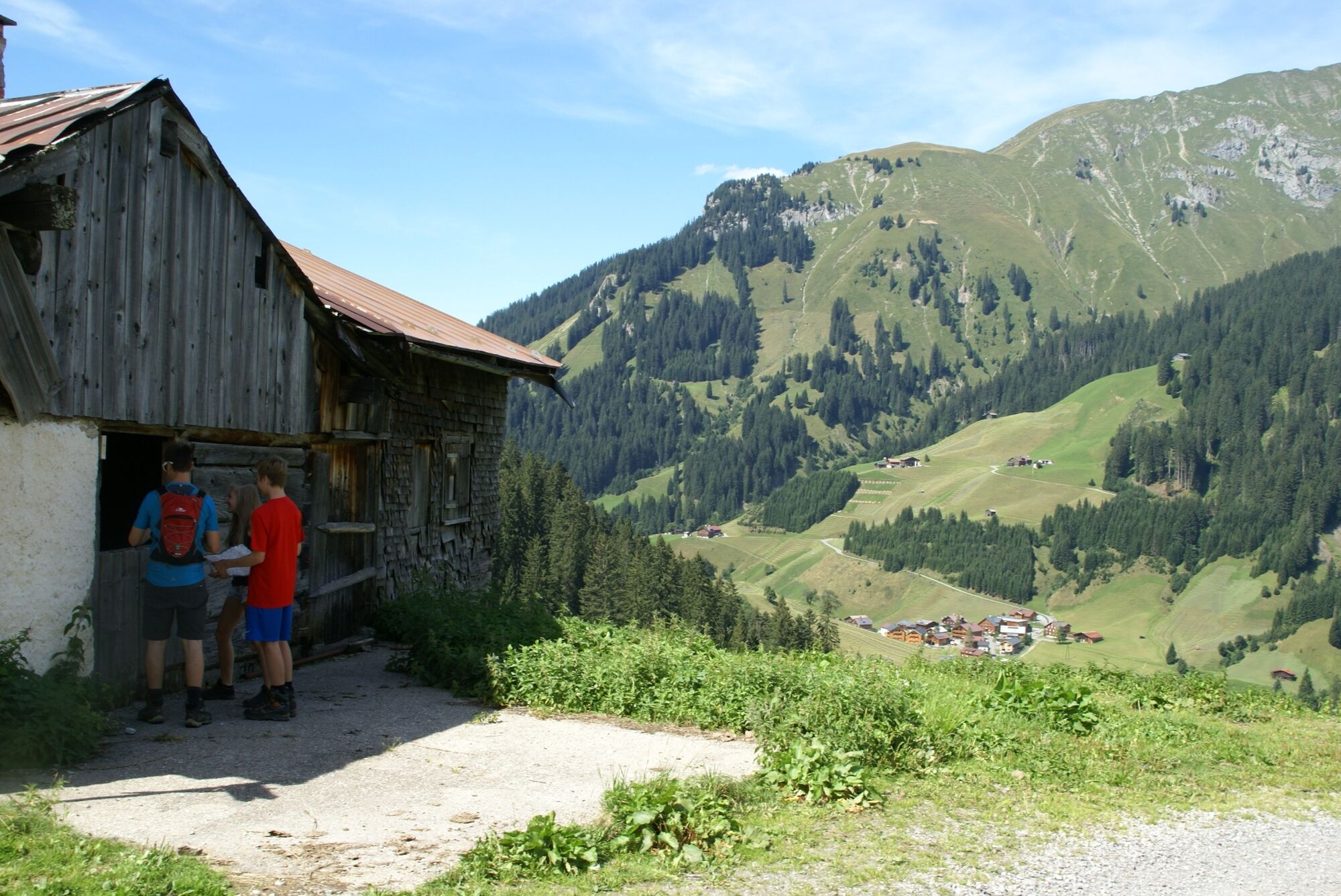
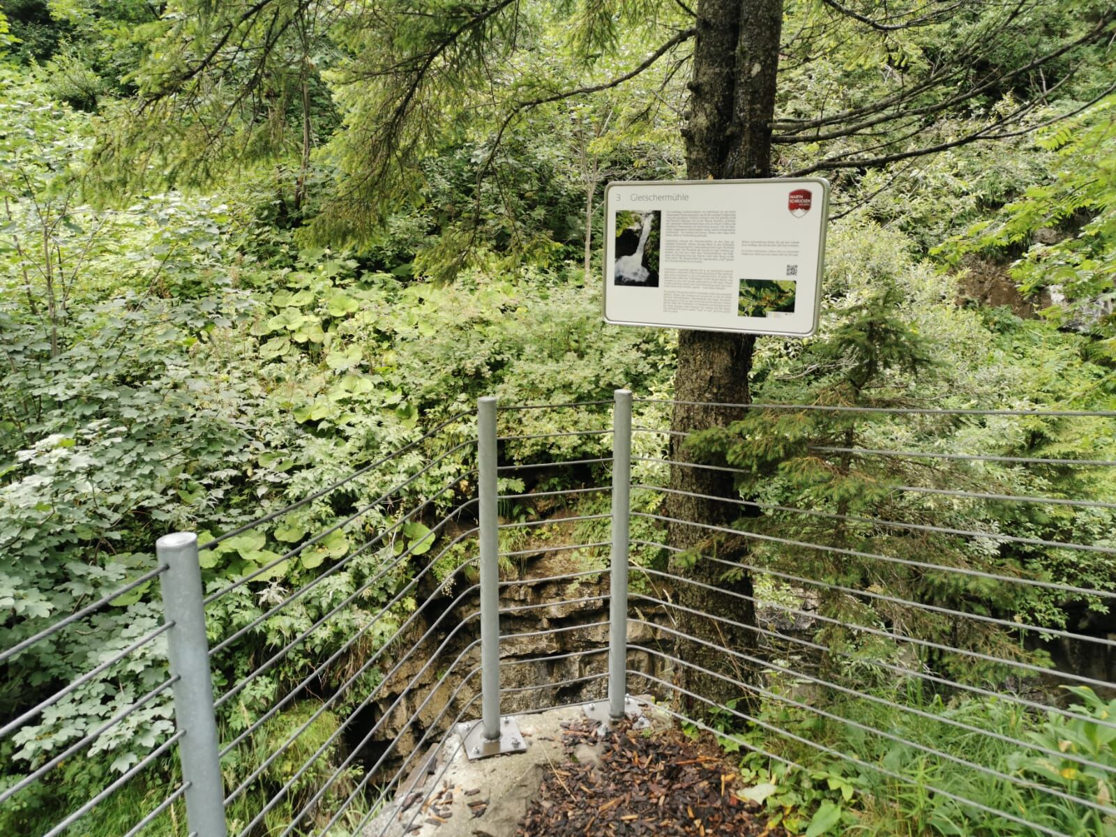
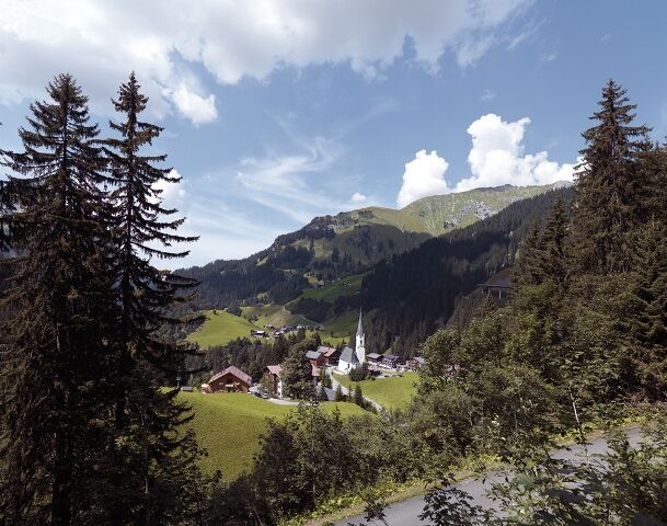
Starting from the church in Schröcken, the path leads along the winding old highway, which tells interesting stories from earlier times. At the signs for “Körbersee/Alpe Batzen/Auenfeld” turn right on this freight road. After approx. 800 meters along the path through the forest comes another sign that indicates the path towards “Gletschermühle/Alpe Felle” to the right. Follow this path. This leads first to the glacier mill, a relic of the Ice Age, which was formed by the power of water. After crossing the bridge over the wild Fellbach you reach the Alpe Felle. From here there is a unique view of the whole village and the 7 border mountains around Schröcken. Past the old Alpe Felle, the path leads back to the village.
- Teškoća
-
lagano
- Vrednovanje
-
- Wegverlauf
-
Schröcken (1.269 m)Materialseilbahn Körbersee0,0 km
- Beste Jahreszeit
-
sijveljožutrasvilipsrpkolrujlisstupro
- Höchster Punkt
- 1.422 m
- Zielpunkt
-
Schröcken village square
- Höhenprofil
-


- Autor
-
Die Tour Village path Schröcken, Insights & Prospects wird von outdooractive.com bereitgestellt.