- Kratak opis
-
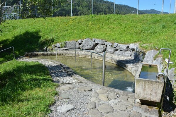
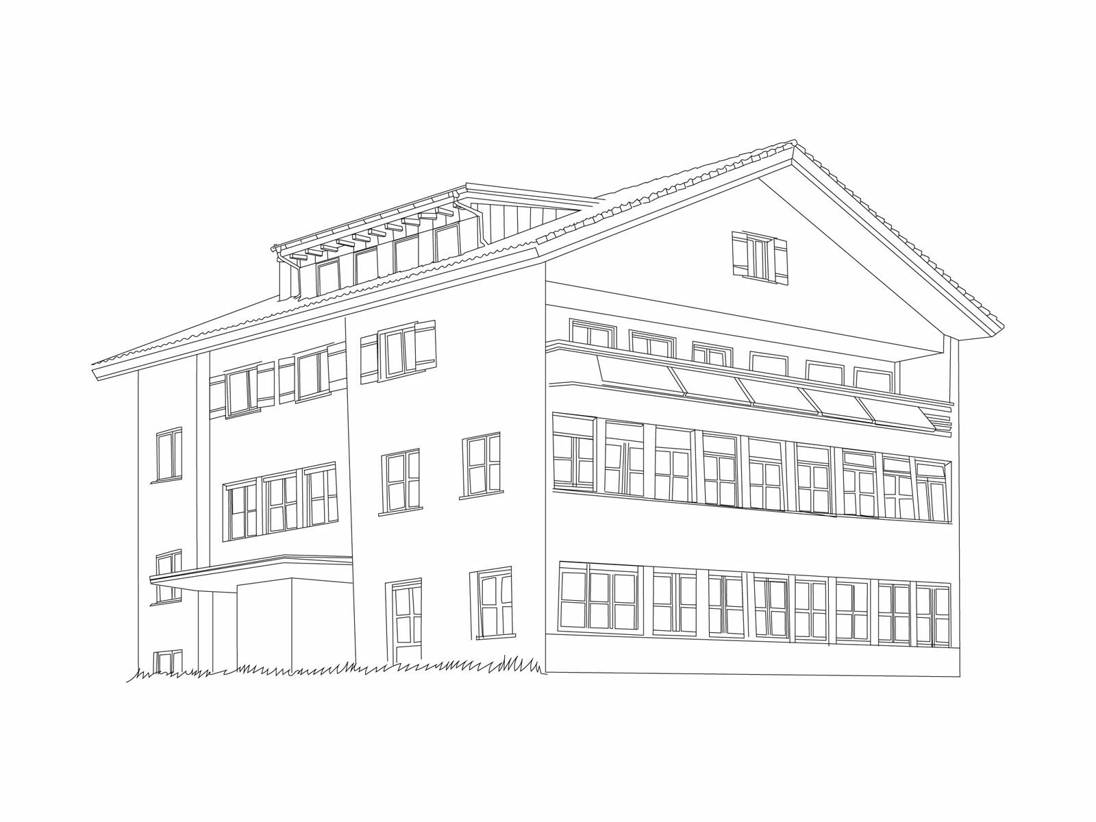
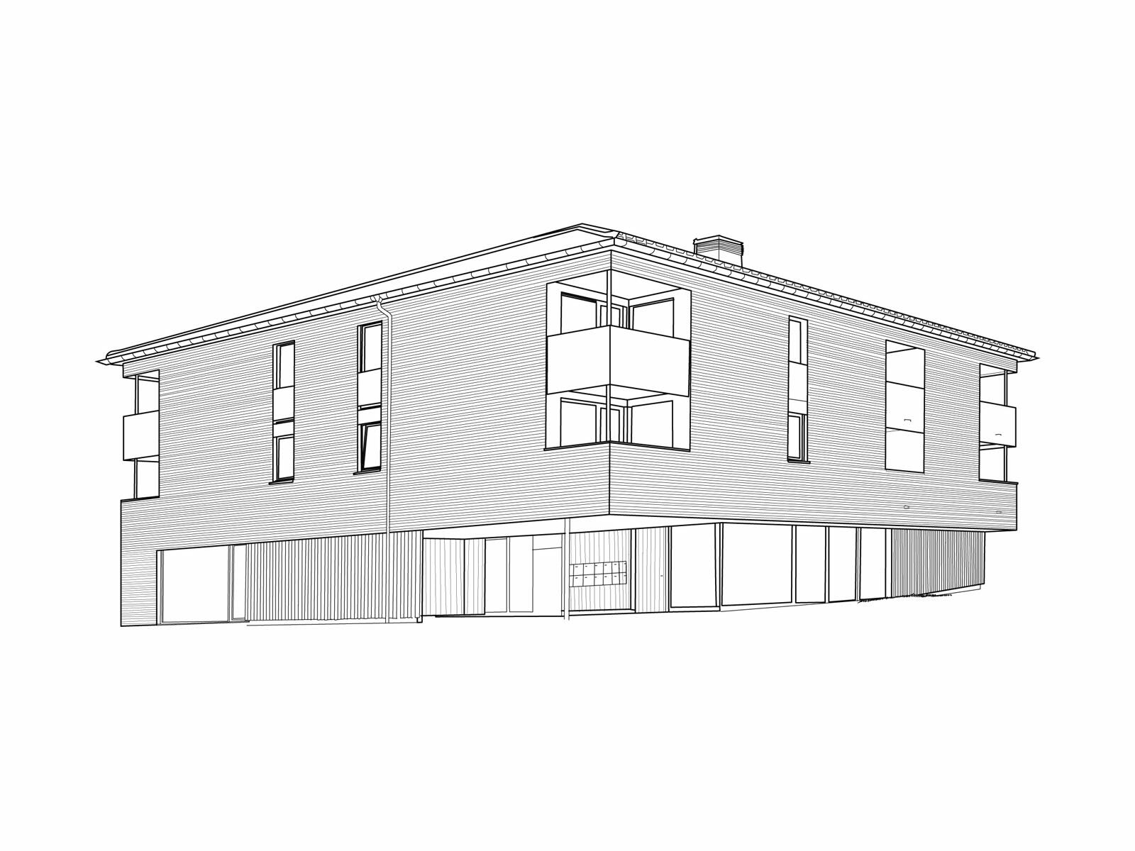
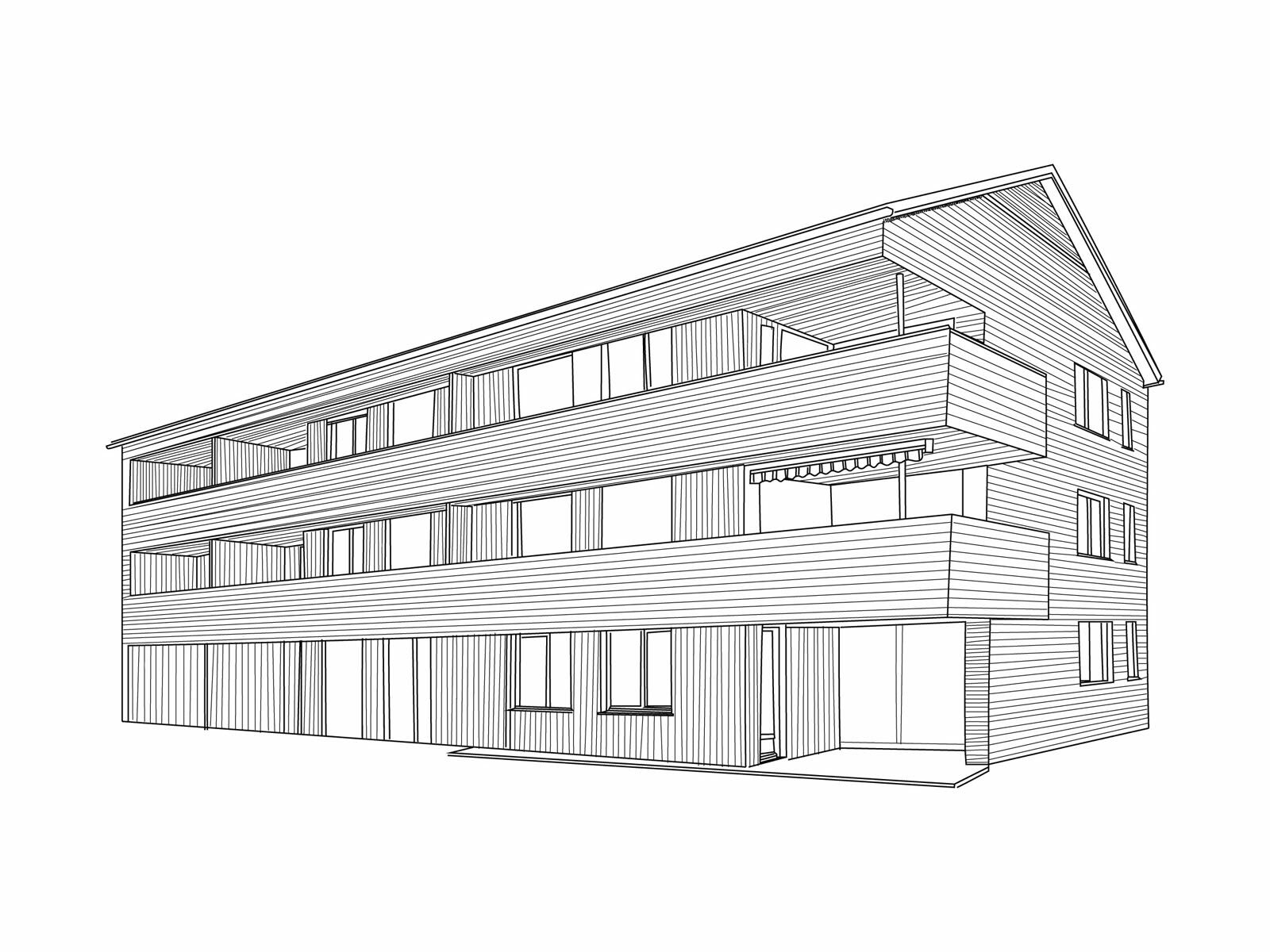
Krumbach is known for its moorland which provides the people here with fruit and herbs as well as meadowland for old breeds of domestic animals which they have begun to breed again. In one hotel, the special properties of the peaty soil isused for health and wellness purposes. The village also has its own special method of decision-making. In various committees, all the inhabitants of Krumbach can vote on the development of their village. This results in internationally recognised projects such as “BUS:STOP” comprising busshelters by architects from the four cornersof the world, regional improvements such as “Krumbach shines without chemicals”and “Young Forest” as well as programmes for locals and guests alike offered as part of the “Krumbach moors” initiative.
- Wegverlauf
-
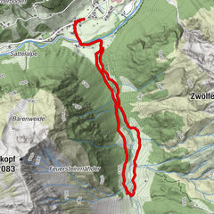
Gasthof Adler0,0 kmGasthaus Brauerei0,2 kmKrumbach (732 m)3,8 km
- Höchster Punkt
- 770 m
- Zielpunkt
-
Village Hall Krumbach
- Höhenprofil
-


- Autor
-
Die Tour Umgang Krumbach wird von outdooractive.com bereitgestellt.


Opće informacije
-
Allgäu
2360
-
Bregenzerwald
2295
-
Krumbach im Bregenzerwald
727