

© Bregenzerwald Tourismus - Michael Meusburger

© KäseStrasse Bregenzerwald - Ludwig Berchtold

© KäseStrasse Bregenzerwald - Ludwig Berchtold


- Kratak opis
-
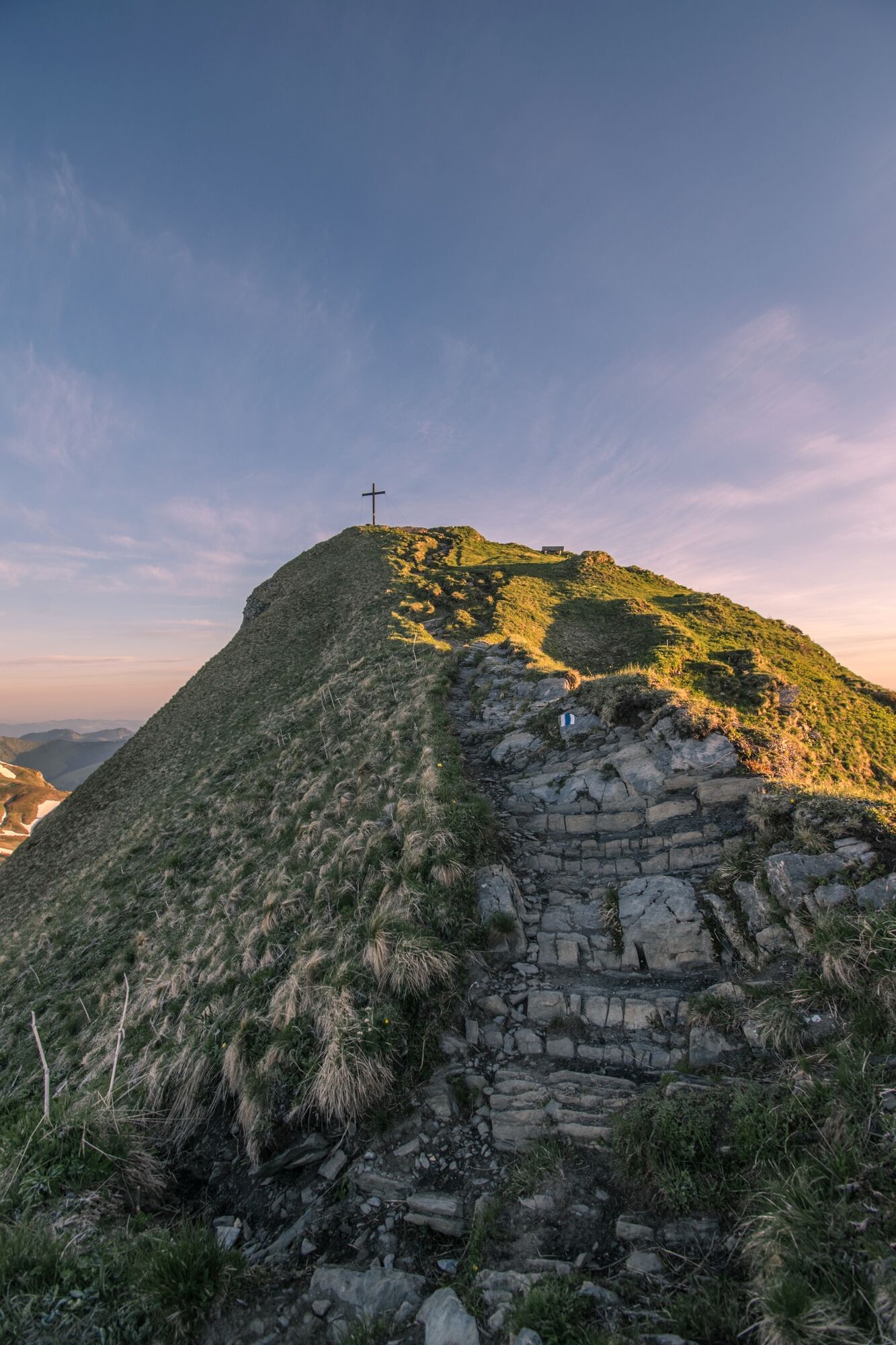
Roßstelle Bergstation – Kanisalpe – Alpe Wannen – Überschreitung der Kammhöhe - Mittagspitze - Alpe Uga - Uga Bahn - Bus Richtung Mellau
- Teškoća
-
teška
- Vrednovanje
-
- Wegverlauf
-
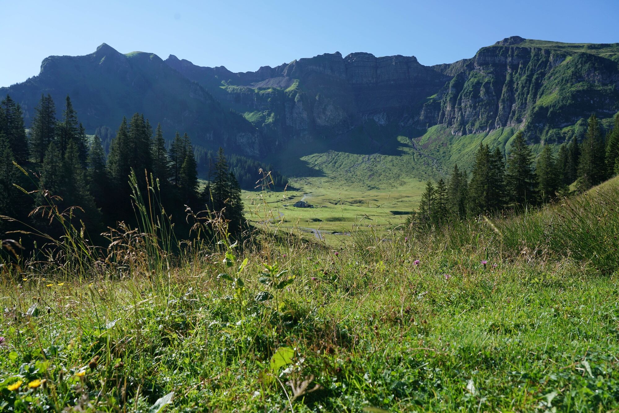
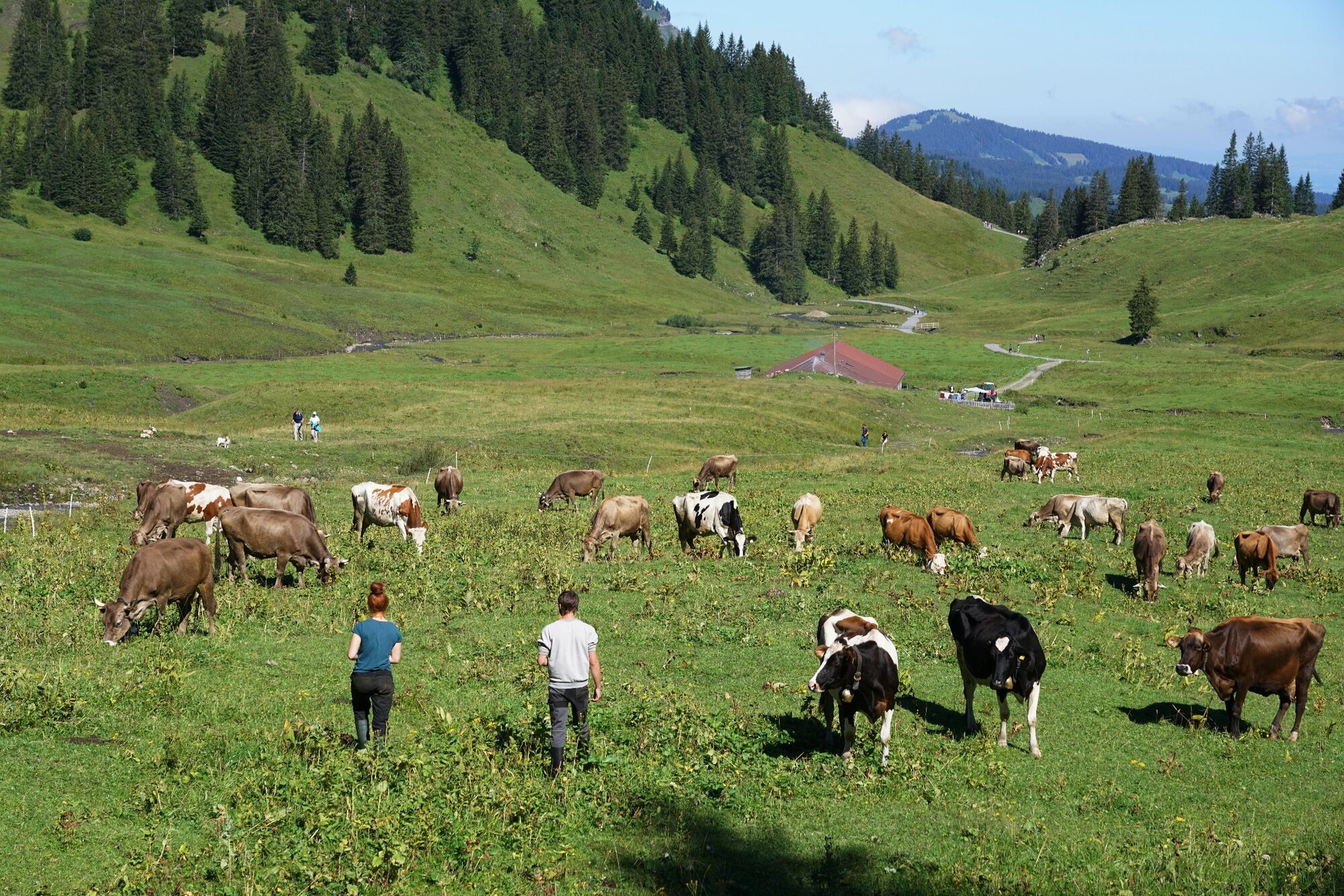
Jausenstation Kanisalpe1,5 kmAlpe Uga6,8 kmUga Alp6,9 kmVordere Ugaalpe7,1 km
- Beste Jahreszeit
-
sijveljožutrasvilipsrpkolrujlisstupro
- Höchster Punkt
- 2.021 m
- Zielpunkt
-
Ortszentrum Mellau
- Höhenprofil
-

- Autor
-
Die Tour Mellau | Damülser Mittagspitze (Abstieg über Alpe Uga) wird von outdooractive.com bereitgestellt.
GPS Downloads


Opće informacije
Einkehrmöglichkeit
Aussichtsreich
Weitere Touren in den Regionen
-
St. Gallen - Bodensee
2065
-
Biosphärenpark Großes Walsertal
2006
-
Mellau
637


