

© Alpenregion Bludenz Tourismus GmbH - Thorsten Guenthert / www.best-mountain-artists.de

© Alpenregion Bludenz Tourismus GmbH - Thorsten Guenthert / www.best-mountain-artists.de

© Alpenregion Bludenz Tourismus GmbH - Thorsten Guenthert / www.best-mountain-artists.de

© Alpenregion Bludenz Tourismus GmbH - Melanie Fleisch

© Alpenregion Bludenz Tourismus GmbH - Thorsten Guenthert / www.best-mountain-artists.de

© Vorarlberg Tourismus GmbH
- Kratak opis
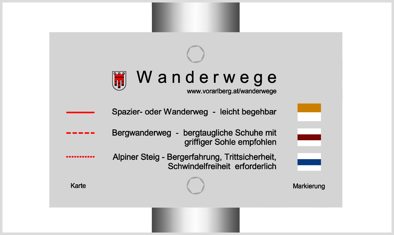
-
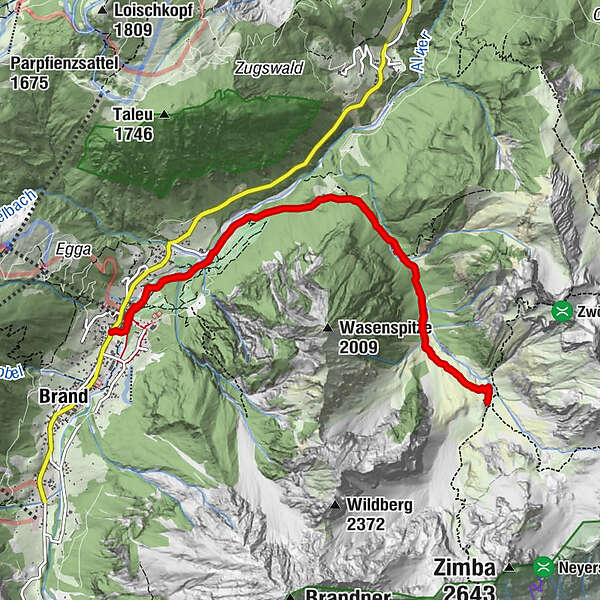
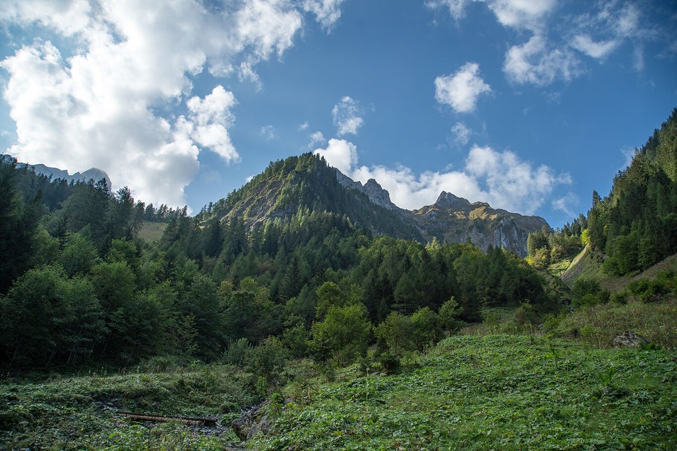
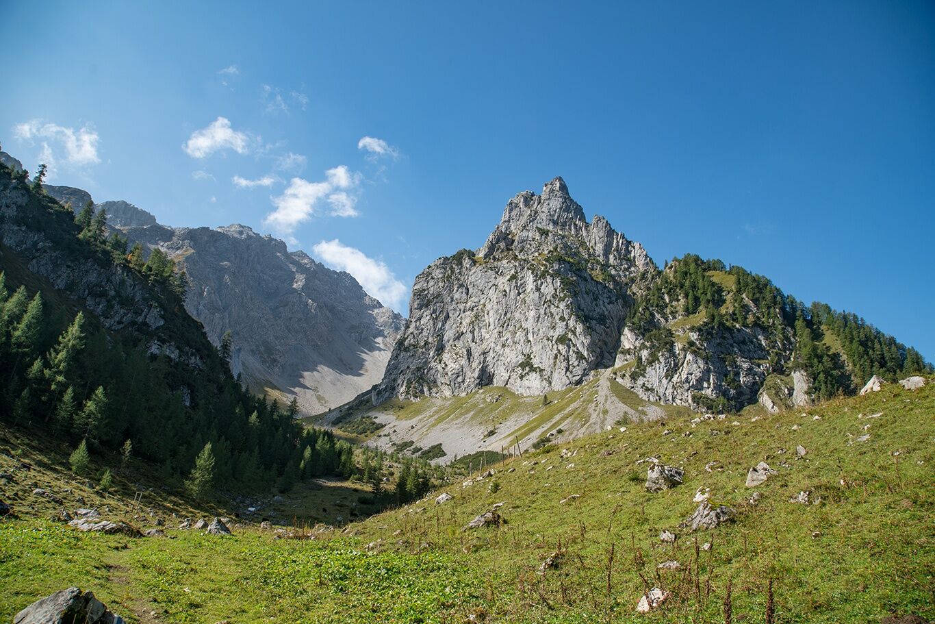
At the foot of the Zimba, the Zwölferkopf and the Gottvaterspitze lies the rustic Sarotla Hut at the end of the Sarotla Valley.
- Teškoća
-
srednje
- Vrednovanje
-
- Wegverlauf
-
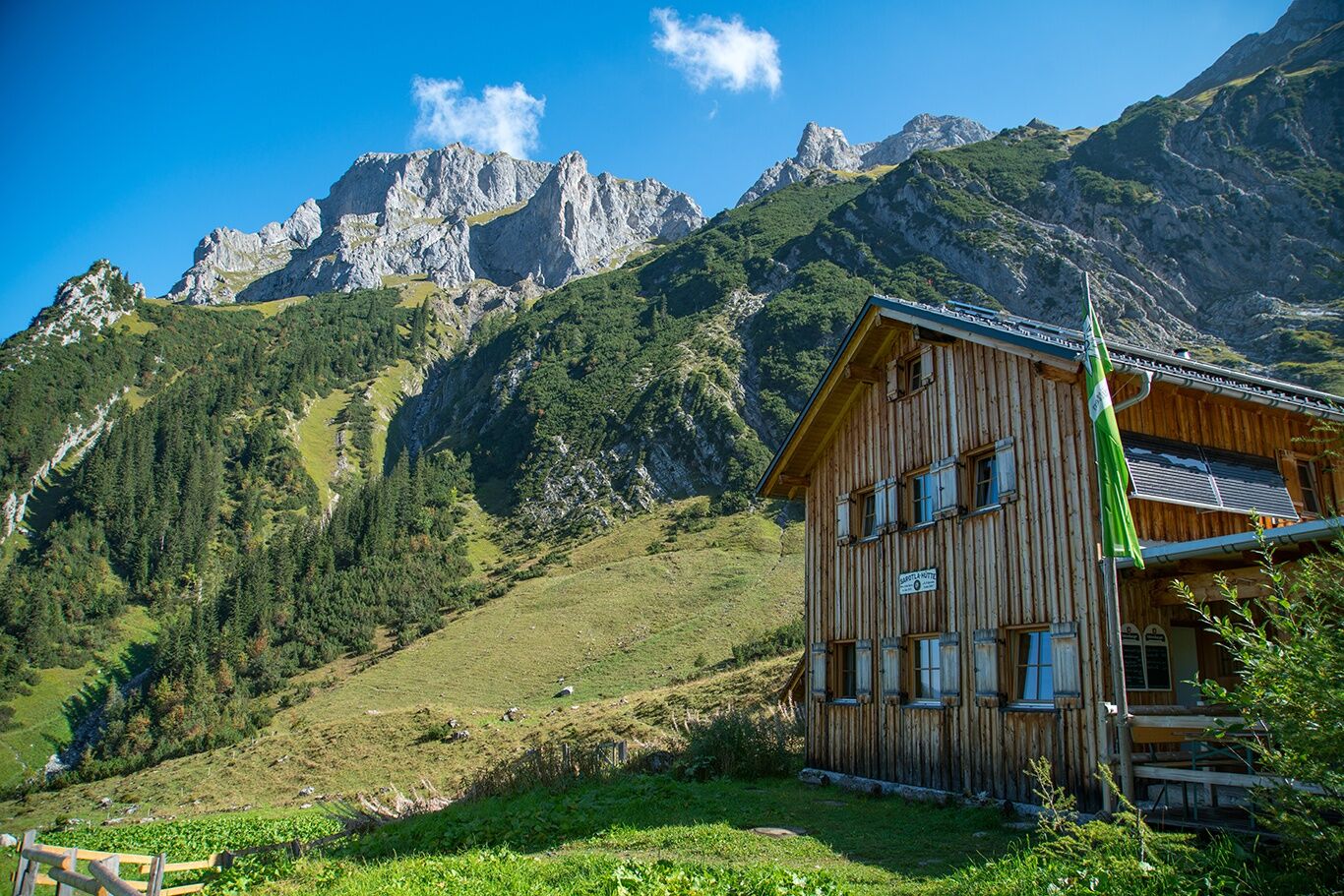
Sarotlahütte5,5 km
- Beste Jahreszeit
-
sijveljožutrasvilipsrpkolrujlisstupro
- Höchster Punkt
- 1.602 m
- Zielpunkt
-
Village center, Brand
- Höhenprofil
-


- Autor
-
Die Tour To the Sarotla Hut | Brand wird von outdooractive.com bereitgestellt.
GPS Downloads


Opće informacije
Einkehrmöglichkeit
Aussichtsreich
Weitere Touren in den Regionen
-
Heidiland
2201
-
Brandnertal
1568
-
Brand
431


