

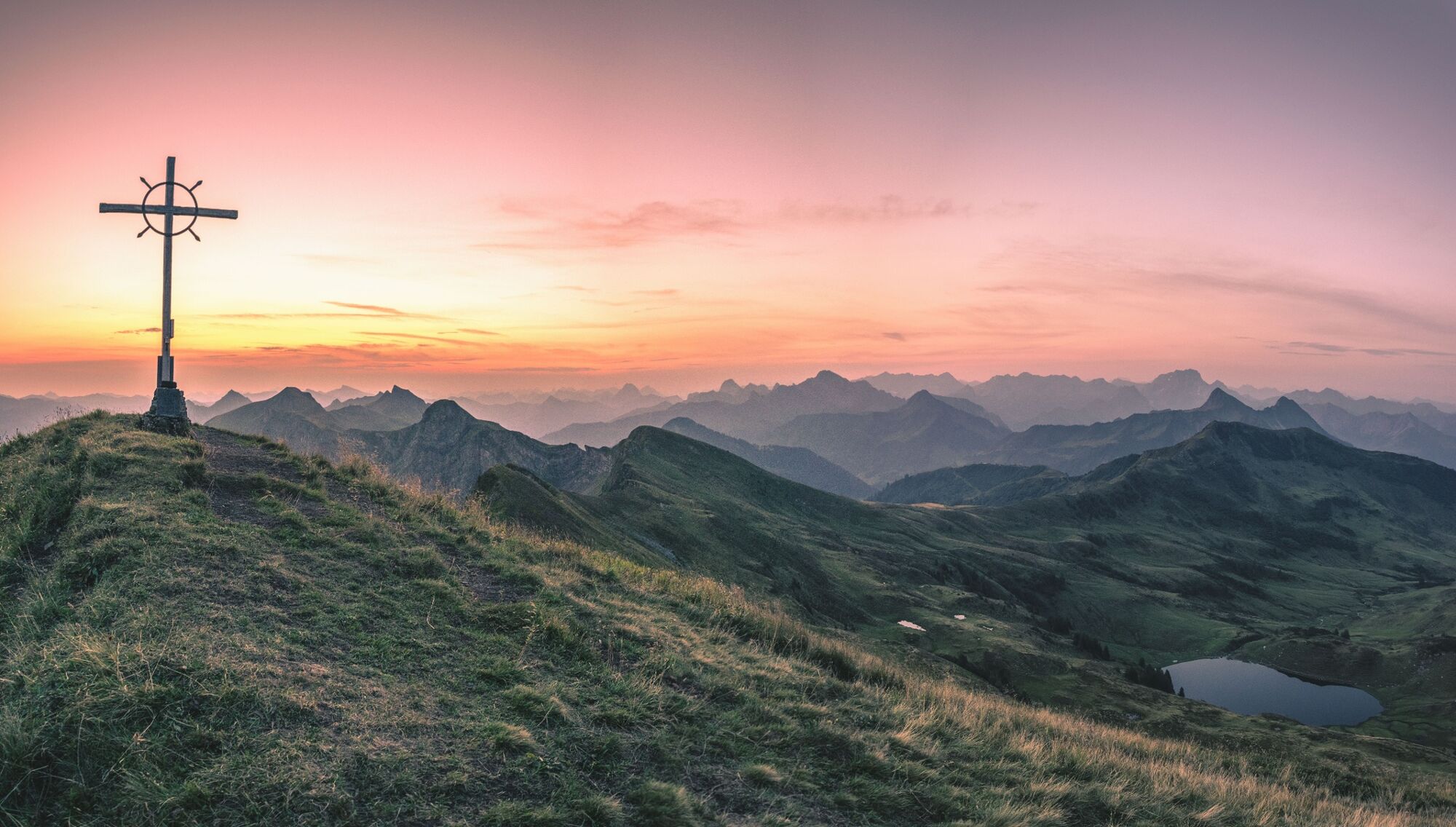
© Unbekannt - Michael Meusburger - Bregenzerwald Tourismus

- Kratak opis
-
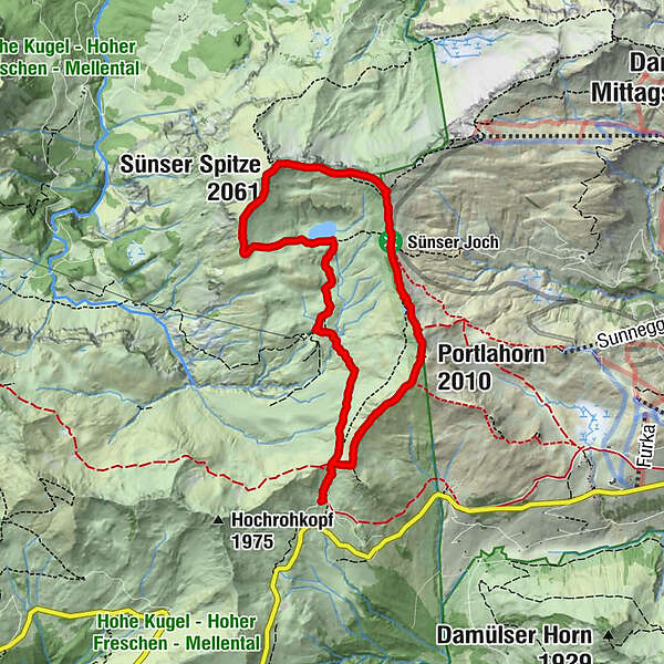
Alpe Portla - Sünser Alpe - Sünser See - Sünser Spitze - Sünser Joch - (Portlahorn) - Alpe Portla
- Teškoća
-
srednje
- Vrednovanje
-
- Wegverlauf
-
Alpe Portla0,0 kmSünser Spitze (2.061 m)4,1 kmPortlahorn (2.010 m)6,5 kmAlpe Portla8,1 km
- Beste Jahreszeit
-
sijveljožutrasvilipsrpkolrujlisstupro
- Höchster Punkt
- 2.045 m
- Zielpunkt
-
Alpe Portla
- Höhenprofil
-

- Autor
-
Die Tour Damüls | Sünserspitze with Sünsersee wird von outdooractive.com bereitgestellt.
GPS Downloads


Opće informacije
Einkehrmöglichkeit
Geheimtipp
Aussichtsreich
Weitere Touren in den Regionen
-
St. Gallen - Bodensee
2067
-
Biosphärenpark Großes Walsertal
2011
-
Damüls
578


