

© Alpenregion Bludenz Tourismus GmbH - Bianca Ganahl

© Alpenregion Bludenz Tourismus GmbH - Bianca Ganahl

© Alpenregion Bludenz Tourismus GmbH - Bianca Ganahl

© Vorarlberg Tourismus GmbH

- Kratak opis
-
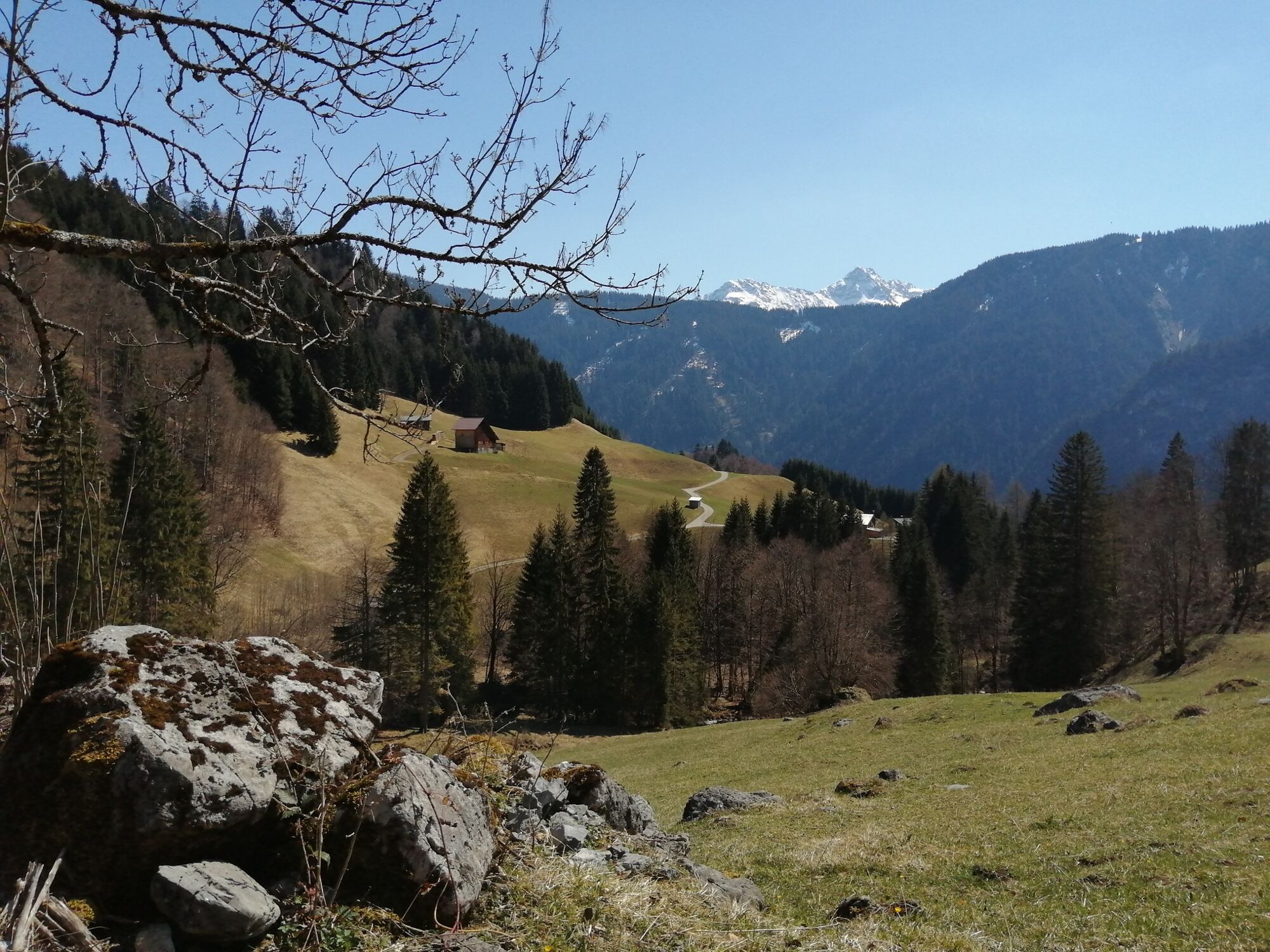
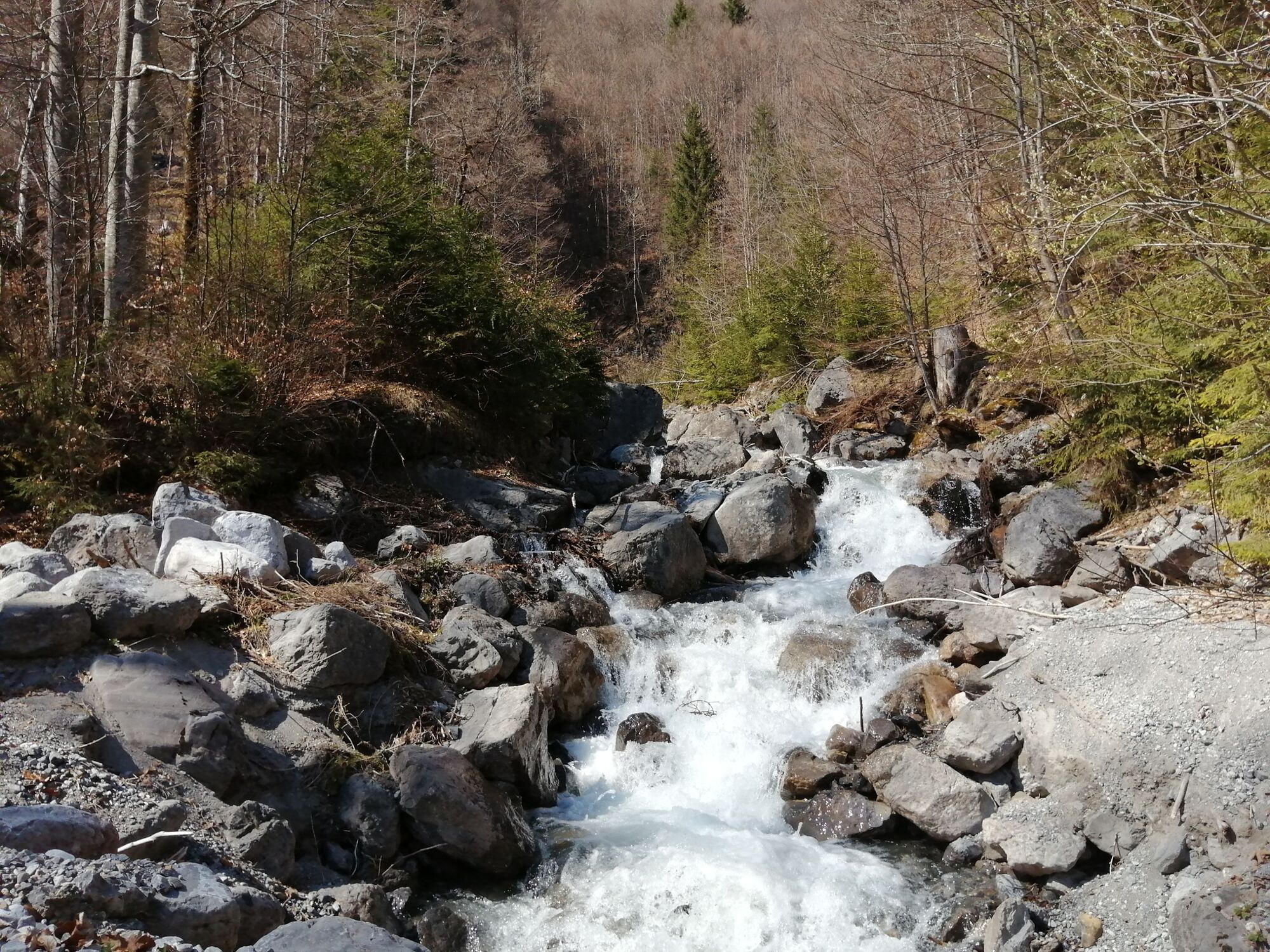
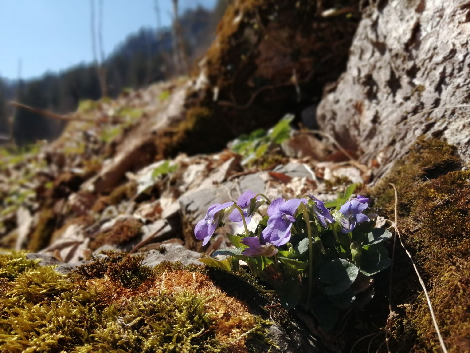
Beautiful hike through several parts of Dalaas up to Hintergant and the Römerkeller.
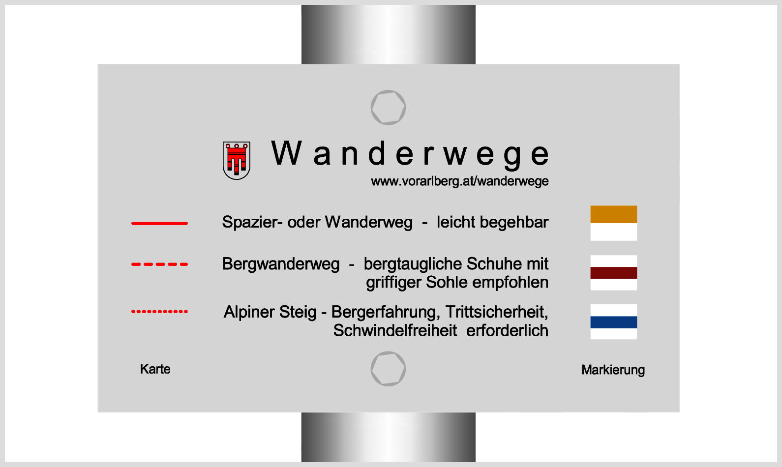
- Teškoća
-
lagano
- Vrednovanje
-
- Wegverlauf
-
Dalaas (835 m)0,5 kmSt. Oswald0,6 kmUntermarias1,1 kmObermarias1,3 kmKapelle2,2 kmMason2,2 kmHintergant3,2 kmMason5,6 kmKapelle5,7 kmObermarias6,5 kmUntermarias6,7 kmSt. Oswald7,1 kmDalaas (835 m)7,3 km
- Beste Jahreszeit
-
sijveljožutrasvilipsrpkolrujlisstupro
- Höchster Punkt
- 1.046 m
- Zielpunkt
-
Parking place Kristbergsaal, Dalaas
- Höhenprofil
-

- Autor
-
Die Tour Römerkeller | Dalaas wird von outdooractive.com bereitgestellt.
GPS Downloads


Opće informacije
Aussichtsreich
Weitere Touren in den Regionen
-
Klostertal
1791
-
Dalaas / Wald am Arlberg
467


