
© Lech Zürs Tourismus GmbH - Lech Zuers Tourismus GmbH
© Lech Zürs Tourismus GmbH - Lech Zuers Tourismus GmbH
© Lech Zürs Tourismus GmbH - Lech Zuers Tourismus GmbH
© Lech Zürs Tourismus GmbH - Lech Zuers Tourismus GmbH
© Lech Zürs Tourismus GmbH - Lech Zuers Tourismus GmbH
- Kratak opis
-
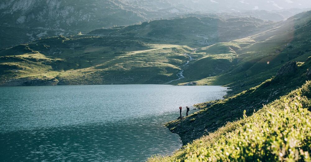
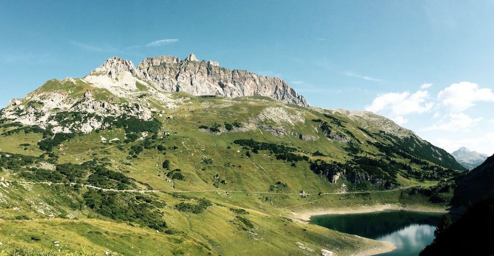
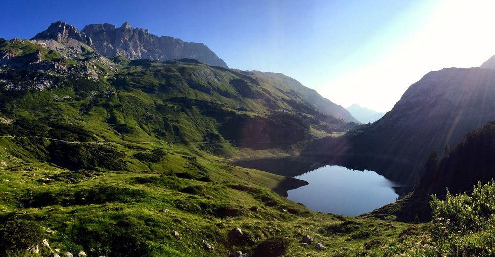
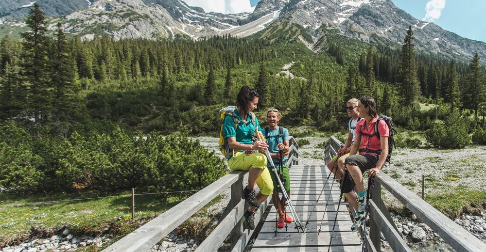
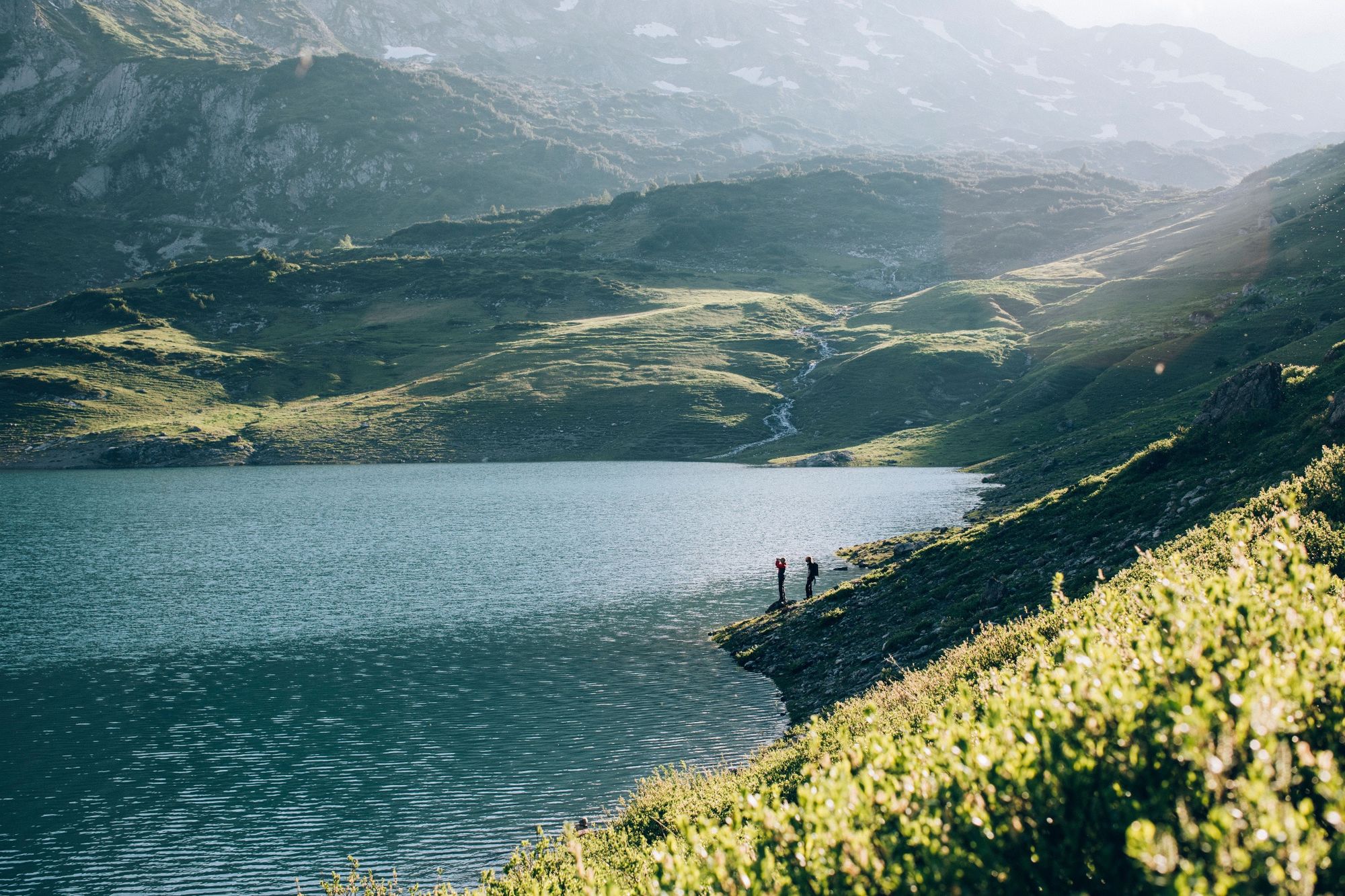
The long-distance hiking trail describes the route from the source of the river Lech to the fall in Füssen. It is definitely worthwhile to hike the first stage in a different direction. This leads from the centre of Lech to Lechquelle on the Formarinlake. The most beautiful place in Austria 2015 is therefore the goal of this hike.
- Teškoća
-
srednje
- Vrednovanje
-
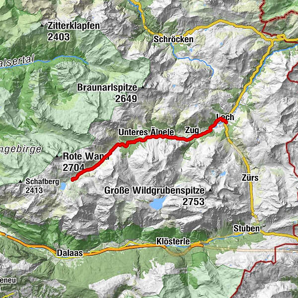
- Wegverlauf
-
Lech (1.444 m)0,1 kmZug3,1 kmFormarinalpe13,7 km
- Beste Jahreszeit
-
sijveljožutrasvilipsrpkolrujlisstupro
- Höchster Punkt
- 1.868 m
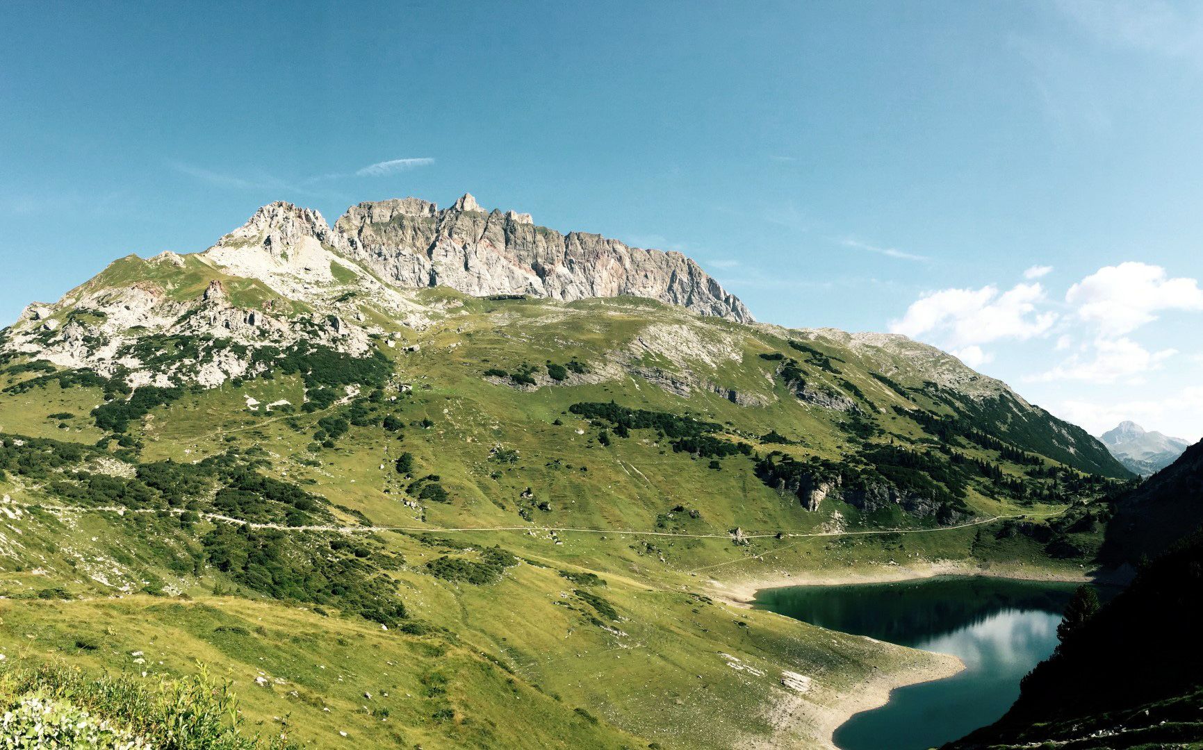
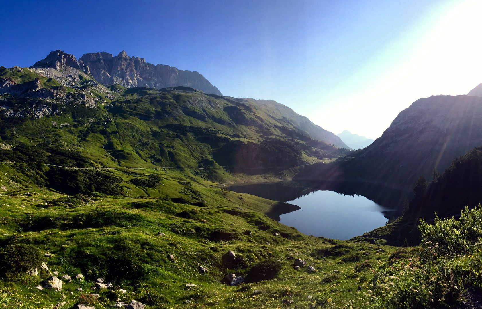
- Zielpunkt
-
Formarinsee
- Höhenprofil
-


-

-
AutorDie Tour From Lech to the Formarinlake wird von outdooractive.com bereitgestellt.
GPS Downloads


Opće informacije
Einkehrmöglichkeit
Aussichtsreich
Weitere Touren in den Regionen
-
Klostertal
1788
-
Lech - Zürs am Arlberg
512


